Port Barton tide times
Port Barton tide forecast — heights relative to MSL.
Today's tide times for Port Barton
Tide times at Port Barton on Sunday, 21 June 2026: first low tide at 08:00, first high tide at 13:42, second low tide at 21:55. Sunrise 05:43, sunset 18:27.
Tide chart for Port Barton
24-hour cosine-interpolated curve around the present moment. Heights relative to MSL. Predictions: Predictions: Open-Meteo Marine (MeteoFrance SMOC, 0.08° grid).
Sun, moon and conditions on Sun 21 Jun
Snapshot at build time — refreshes daily. Sea state from Open-Meteo Marine.
Highs and lows next 7 days
Every predicted high and low for the next week, with the daily tidal coefficient (0–120; higher = bigger swing, > 95 means stronger currents).
Other spots nearby
The three closest curated TideTurtle locations to Port Barton, measured by great-circle distance.
Today's solunar windows
Solunar tradition: major periods are the ≈3h windows around moon transit and opposition; minor are ≈2h around moonrise and moonset. Pair with the local tide stage and wind for the best read.
Cycle dates near Port Barton
Last spring tide on Sun 21 Jun (range 0.9m). Next spring tide on Sat 27 Jun (range 1.2m). Next neap on Tue 23 Jun.
Spring tides cluster around new and full moons (biggest swings). Neap tides land on quarter moons (smallest swings). See the spring tide and neap tide glossary entries for the why.
About tides at Port Barton
A short guide to the coastline at Port Barton — geography, sea state, and what the tide is actually doing under your feet.
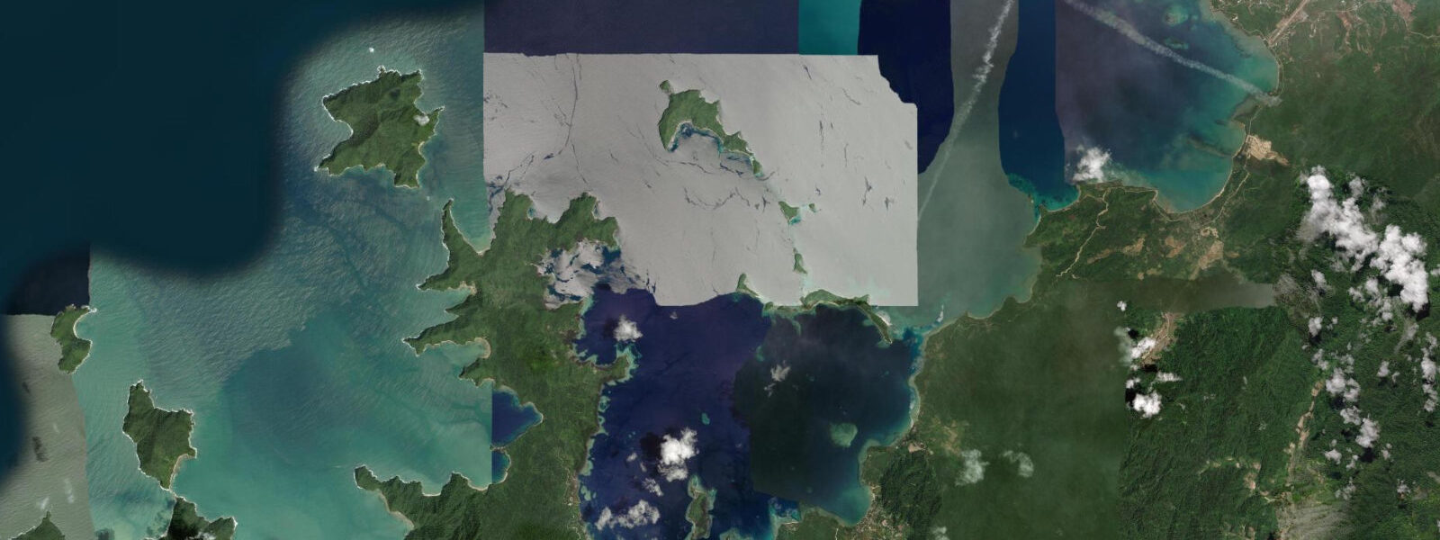
Port Barton is a small coastal barangay on the west coast of Palawan, 160 kilometres south of El Nido by the mountain road and around 70 kilometres north of Puerto Princesa. The bay faces W-NW into the South China Sea, sheltered by a scatter of offshore islands — German Island, Exotic Island, Capsalay Island, and several smaller outcrops — that break the open-sea fetch and keep the inshore waters calm during most of the year. The village has several hundred residents and a guesthouse strip that has grown over the past decade as travellers choose Port Barton as the quieter Palawan alternative to El Nido's heavier tourism traffic.
Bangka outrigger boats are the only way to reach the islands and the snorkel sites; the boats are launched and retrieved across the beach ramp in front of the village. 8 metres — similar to El Nido but with a slight South China Sea character that differs marginally from the Sulu Sea side. At low spring tides the bangka beach ramp exposes sand and rock outcrops that are covered at high water; the boats are carried further down the exposed shore to reach the waterline, and launching in the hour either side of low spring requires more effort than at higher stages.
This operational reality shapes daily tour timing: most operations depart at or after the half-flood to avoid the extended carry across the low-tide flat. The snorkel sites around German Island and Exotic Island hold coral in good condition; the reef channels between the offshore islands run a noticeable current on springs. The best snorkelling visibility windows follow the incoming tide, when South China Sea water pushes in through the island gaps rather than the turbid lagoon water draining out on the ebb.
Exotic Island (locally called Exotic Island) has a small sandy beach, a coral garden on its leeward side accessible by swimming from the beach, and a nesting colony of white tern (the small white birds that nest on tree branches above the beach and are routinely unconcerned by human proximity). The House Reef — a coral patch directly offshore of the Port Barton village beach, accessible by swimming from shore — holds reef fish and a few coral heads in moderate condition; it is covered from about half-flood onward and can be snorkelled without a boat. The turtle-nesting beach in the Buenavista area south of Port Barton village is monitored by local conservation groups; nesting season runs from approximately October through March.
Shore angling from the village beach and the headland rocks on either side of the bay is primarily for reef species. Paddleboards and kayaks are available from guesthouses; the enclosed bay is a practical flat-water paddling area at most tidal stages, with the inter-island passages requiring more current awareness on springs. 5 hours in the dry season; some travellers use the weekly fast boat service from Puerto Princesa (weather-dependent).
The overland route passes through the San Rafael–Roxas barangay road and follows the western Palawan coast with intermittent sea views; the last 20 km is a rough unsealed road in some sections and takes longer after rain. Accommodation in Port Barton runs from beachfront nipa huts at PHP 600 to 800 per night to mid-range concrete guesthouses; the strip is small enough to walk end to end in 10 minutes. The nearest ATM is in Roxas town, approximately 60 km south — carry cash from Puerto Princesa.
Electrical power in the barangay runs on generator from approximately 18:00 to 23:00; battery power banks and solar charging are the practical daytime solution. 3 metres on height. PAGASA is the authoritative Philippine tide source.
Tide questions about Port Barton
Quick answers to the most common questions about tide times, range, and water access at Port Barton.
When is the best time to take a bangka island-hopping tour from Port Barton?
Most operators depart after the half-flood in the morning to avoid the extended carry across the low-tide flat on the beach ramp. Tidal range is approximately 1.2 to 1.8 metres on springs — at low water the sand and rock below the boat ramp extends 20 to 30 metres further out than at high water. Snorkelling visibility at German Island and Exotic Island is generally best on the incoming tide, when cleaner South China Sea water pushes in through the inter-island gaps. Tours typically return by early afternoon before the afternoon SW monsoon wind picks up (in season). Confirm departure time with your boatman the evening before — they factor in the day's tidal state.
What is the typical tide range at Port Barton?
Port Barton runs mixed semidiurnal: two highs and two lows of unequal size each day on the South China Sea west-Palawan pattern. Spring range is approximately 1.2 to 1.8 metres, occurring around new and full moons; mean range is closer to 0.9 to 1.1 metres. The visible effect on the village beach is significant: at low spring tide the bangka ramp and the sandy shelf below the village extend noticeably further, and the House Reef coral patch directly offshore of the village is partially exposed. The inter-island channels between German Island, Exotic Island, and Capsalay run noticeable current on springs.
Can I snorkel the House Reef directly from the beach?
Yes, with some tidal awareness. The House Reef is a coral patch approximately 100 to 200 metres offshore of the Port Barton village beach, accessible by swimming at mid-flood and higher. At low spring tide the reef's shallowest heads are near the surface and the swim out crosses an exposed sand and rock shelf — entry is more comfortable from half-flood onward. The reef holds reef fish, some coral in moderate condition, and occasional turtle sightings. Swim fins and a mask are the only gear required; the water is generally calm inside the bay's island shelter. Be aware of bangka traffic in the channel between the beach and the reef.
Where do these tide predictions come from?
Open-Meteo Marine, a gridded global ocean model; accuracy is typically ±45 minutes on timing and ±0.2 to 0.3 metres on height. The model estimates tidal height across a geographic grid rather than computing from harmonic analysis of a local gauge record. The nearest PAGASA tide gauge to Port Barton is at Puerto Princesa, approximately 70 km south — the tidal timing at Port Barton follows the Puerto Princesa pattern closely, but apply a small local offset if precision matters for tour departure timing or bangka ramp logistics. PAGASA (Philippine Atmospheric, Geophysical and Astronomical Services Administration) is the authoritative Philippine tide source.
Is this safe to use for navigation?
No. The inter-island channels around Port Barton have shallow coral heads, variable depths, and tidal current that requires local knowledge and proper charting. Several of the offshore island approaches — the passage south of Exotic Island and the eastern channel past Capsalay — are not well-charted for deeper-draft vessels. For any vessel operation in or around Port Barton Bay and the offshore island group, use NAMRIA Philippine charts and the Philippine Coastal Pilot. PAGASA publishes authoritative tide predictions for Philippine waters. TideTurtle is a planning tool — the predictions here are not suitable for navigational use.
8-day tide table — Port Barton
Heights relative to MSL. Predictions: Open-Meteo Marine (MeteoFrance SMOC, 0.08° grid) — heights relative to MSL (not chart datum / LAT). Model-derived.
| Day | Type | Time | Height |
|---|---|---|---|
| Sun 21 Jun | Low | 08:00 | 0.7m |
| High | 13:42 | 1.1m | |
| Low | 21:55 | 0.2m | |
| Mon 22 Jun | High | 14:50 | 0.9m |
| Low | 22:06 | 0.3m | |
| Tue 23 Jun | High | 05:42 | 0.9m |
| Low | 11:10 | 0.6m | |
| High | 16:10 | 0.7m | |
| Low | 22:15 | 0.5m | |
| Wed 24 Jun | High | 18:00 | 0.6m |
| Low | 22:00 | 0.6m | |
| Thu 25 Jun | High | 06:00 | 1.2m |
| Low | 14:50 | 0.4m | |
| Fri 26 Jun | — | ||
| Sat 27 Jun | High | 07:10 | 1.3m |
| Low | 16:07 | 0.1m | |
| Sun 28 Jun | High | 07:00 | 1.3m |