Mactan Island tide times
Mactan Island tide forecast — heights relative to MSL.
Today's tide times for Mactan Island
Tide times at Mactan Island on Sunday, 21 June 2026: first low tide at 08:00, first high tide at 14:39, second low tide at 21:43. Sunrise 05:24, sunset 18:07.
Tide chart for Mactan Island
24-hour cosine-interpolated curve around the present moment. Heights relative to MSL. Predictions: Predictions: Open-Meteo Marine (MeteoFrance SMOC, 0.08° grid).
Sun, moon and conditions on Sun 21 Jun
Snapshot at build time — refreshes daily. Sea state from Open-Meteo Marine.
Highs and lows next 7 days
Every predicted high and low for the next week, with the daily tidal coefficient (0–120; higher = bigger swing, > 95 means stronger currents).
Other spots nearby
The three closest curated TideTurtle locations to Mactan Island, measured by great-circle distance.

Today's solunar windows
Solunar tradition: major periods are the ≈3h windows around moon transit and opposition; minor are ≈2h around moonrise and moonset. Pair with the local tide stage and wind for the best read.
Cycle dates near Mactan Island
Last spring tide on Sun 21 Jun (range 1.3m). Next spring tide on Sat 27 Jun (range 1.5m). Next neap on Fri 26 Jun.
Spring tides cluster around new and full moons (biggest swings). Neap tides land on quarter moons (smallest swings). See the spring tide and neap tide glossary entries for the why.
About tides at Mactan Island
A short guide to the coastline at Mactan Island — geography, sea state, and what the tide is actually doing under your feet.
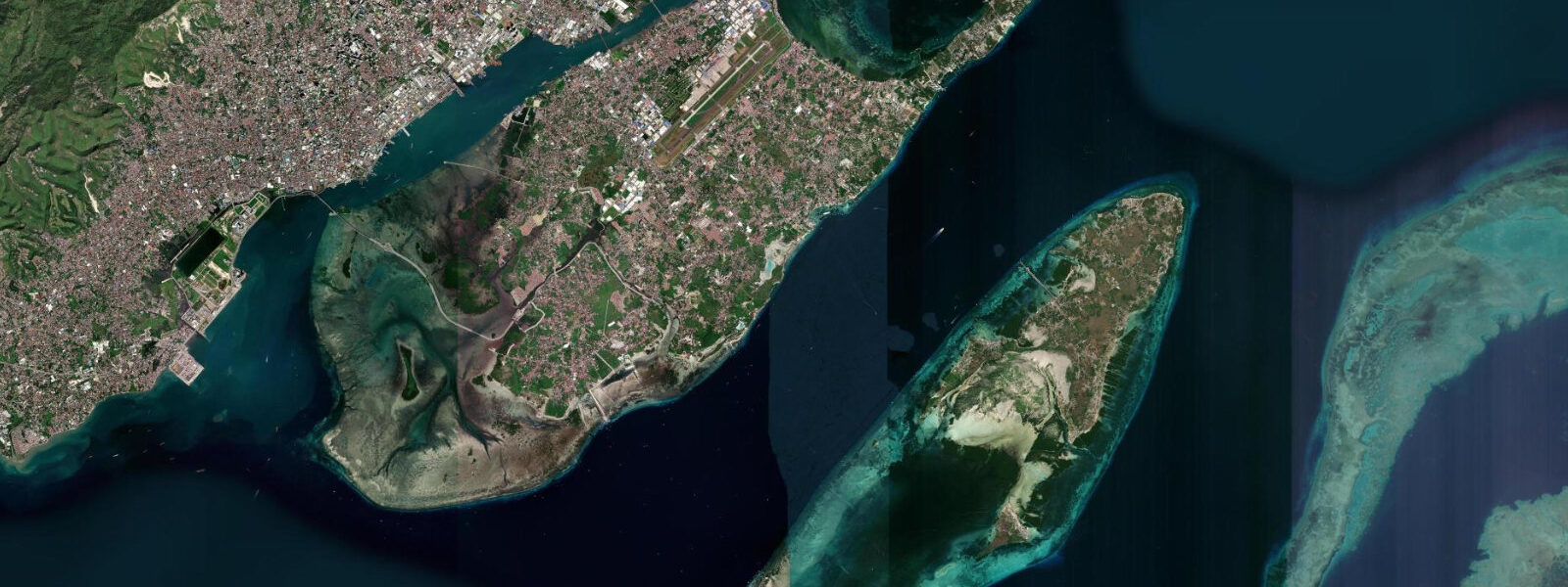
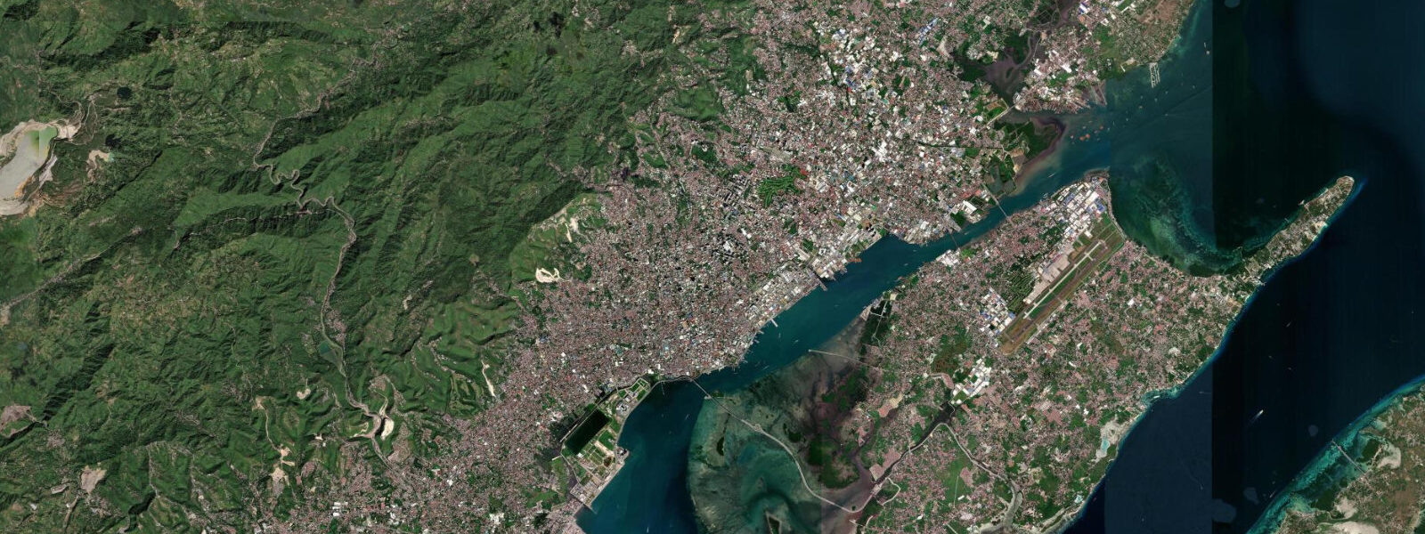
Mactan Island is connected to Cebu City by two bridges across the Mactan Channel and holds Mactan Cebu International Airport — the second busiest airport in the Philippines. For most visitors it is the first Philippine ground underfoot, and the dive and snorkel infrastructure built around the island's fringing reefs is among the most developed in the Visayas.
Tidal range at Mactan runs close to 0.9 metres above Chart Datum — mixed semidiurnal, with the characteristic Philippine pattern of two unequal highs and lows each day. That range is consequential for reef access. At lower low water, sections of Mactan's fringing reef flat emerge or come within centimetres of the surface, making swim entries from shore hazardous on a reef flat and exposing coral to air and sunlight. The standard practice at Mactan's resort dive operations is to time snorkel entries for mid-tide or above, when the water column above the reef is sufficient for comfortable swimming without contact. Dive entries from boats bypass the problem entirely.
Mactan's position in history is anchored to a single event: the Battle of Mactan on 27 April 1521, where a coalition of Mactan warriors led by the chieftain Lapu-Lapu killed Ferdinand Magellan. Magellan had allied with Rajah Humabon of Cebu and led a punitive expedition against Lapu-Lapu, who had refused to submit to Spanish authority. The Portuguese-born explorer who led the first circumnavigation died on this beach before completing it. The Lapu-Lapu Monument stands at the approximate battle site on Mactan's northeastern shore; it is the central image of Filipino resistance to colonialism in national iconography. The town of Lapu-Lapu City covers most of the island.
The island's reef environment is under pressure from the density of resort development along the eastern seaboard and from the uneven enforcement of no-take zones. Despite this, functioning coral communities remain around the outer reef edges and at sites such as Hilutungan Channel, Olango Island Wildlife Sanctuary (visible from Mactan's eastern shore), and the artificial reefs seeded by some of the larger dive operators. Hilutungan Marine Sanctuary, a short boat ride north, maintains fish density substantially higher than the unprotected reef areas, which makes it the standard first dive for visiting divers.
Magellan Bay, on Mactan's western approach facing the Mactan Channel, is calmer and less reef-fronted than the open-sea eastern shore. The channel between Mactan and Cebu City carries significant ferry and cargo traffic, and the tidal currents through it — amplified by the constriction — run faster than on the open coast.
Predictions on this page come from Open-Meteo Marine, a gridded global ocean model. Accuracy is typically within plus or minus 45 minutes on timing and 0.2 to 0.3 metres on height — model-derived, not from a local gauge. For authoritative Philippine tide data, consult NAMRIA (National Mapping and Resource Information Authority), which publishes official tide tables for Cebu and Mactan area stations.
Tide questions about Mactan Island
Quick answers to the most common questions about tide times, range, and water access at Mactan Island.
What is the tidal range at Mactan Island and why does it matter for snorkelling?
Mean tidal range at Mactan is approximately 0.9 metres above Chart Datum, with mixed semidiurnal tides producing two unequal highs and two lows daily. The lower low water stand exposes or nearly exposes sections of Mactan's fringing reef flat. Entering the water during these periods risks contact with live coral and is uncomfortable or impossible over the shallowest reef sections. Most resort dive operators on Mactan time snorkel group entries around mid-tide or higher. Check the tide table before any shore entry — the difference between a comfortable swim and a damaging scramble over exposed coral is roughly 0.4 to 0.5 metres of water.
What happened at the Battle of Mactan?
On 27 April 1521, Ferdinand Magellan led a force of approximately 49 Spanish soldiers and over 1,000 Cebuano allies against Lapu-Lapu, the chieftain of Mactan who had refused to pay tribute to Spain. The Mactan warriors — estimated at 1,500 by contemporary Spanish accounts — repelled the landing in shallow water and killed Magellan during the engagement. It was the final battle of the explorer who had led the first circumnavigation of the Earth; his crew completed the voyage without him. The Lapu-Lapu Monument on the northeastern shore of Mactan marks the site. Lapu-Lapu is the Philippines' first national hero.
Where is the best snorkelling near Mactan?
Hilutungan Marine Sanctuary, a 20-minute boat ride north of the main Mactan resort strip, maintains significantly better coral cover and fish density than the immediately adjacent resort reef areas. Shore snorkelling from the resorts is possible at mid-tide and above; the best house reefs are those of the operations that have invested in artificial reef structures. Olango Island Wildlife Sanctuary, across a short channel from Mactan's eastern shore, is notable for shorebirds and shallow mangrove channels rather than coral diving. For serious coral diving, most operators move guests to sites in the Camotes Sea or around Malapascua Island further north.
Is Mactan Cebu International Airport convenient for reaching dive sites on Cebu?
Very. The airport is on Mactan Island itself; resort transfers from arrivals to the Mactan beach strip take 15–30 minutes. For Moalboal on Cebu's southwest coast — the sardine run, the reef walls, the pelagic diving — the drive via the Mactan bridge and south through Cebu City is approximately 90 minutes to 2 hours depending on traffic. Most dive operators offer airport-to-resort transfers that combine with a pre-booked package; it is worth arranging this in advance rather than at the terminal.
Are the tide predictions on this page suitable for navigation or dive planning?
No. Predictions here come from Open-Meteo Marine, a global ocean model providing indicative tide timing and height guidance — not certified nautical data. For dive operators planning entries around tide state, or for any vessel operating in the Mactan Channel or approaches, use official NAMRIA tide tables for Cebu/Mactan stations. Tidal currents in the Mactan Channel are stronger than open-coast values; passage planning should use authoritative current data alongside official tide tables.
8-day tide table — Mactan Island
Heights relative to MSL. Predictions: Open-Meteo Marine (MeteoFrance SMOC, 0.08° grid) — heights relative to MSL (not chart datum / LAT). Model-derived.
| Day | Type | Time | Height |
|---|---|---|---|
| Sun 21 Jun | Low | 08:00 | 0.5m |
| High | 14:39 | 1.4m | |
| Low | 21:43 | 0.1m | |
| Mon 22 Jun | High | 15:39 | 1.2m |
| Low | 22:08 | 0.2m | |
| Tue 23 Jun | High | 04:50 | 1.1m |
| Low | 10:52 | 0.5m | |
| High | 16:40 | 1.0m | |
| Low | 22:43 | 0.3m | |
| Wed 24 Jun | High | 05:36 | 1.3m |
| Low | 12:42 | 0.5m | |
| High | 18:00 | 0.8m | |
| Low | 23:15 | 0.5m | |
| Thu 25 Jun | High | 06:24 | 1.4m |
| Low | 14:15 | 0.3m | |
| High | 19:22 | 0.7m | |
| Low | 23:45 | 0.5m | |
| Fri 26 Jun | High | 07:19 | 1.5m |
| Low | 15:22 | 0.2m | |
| High | 21:00 | 0.7m | |
| Sat 27 Jun | Low | 00:45 | 0.6m |
| High | 08:04 | 1.5m | |
| Low | 16:06 | 0.0m | |
| High | 22:18 | 0.7m | |
| Sun 28 Jun | Low | 01:45 | 0.6m |
| High | 07:00 | 1.4m |