Moalboal tide times
Moalboal tide forecast — heights relative to MSL.
Today's tide times for Moalboal
Tide times at Moalboal on Sunday, 21 June 2026: first low tide at 08:00, first high tide at 15:00, second low tide at 22:06. Sunrise 05:27, sunset 18:09.
Tide chart for Moalboal
24-hour cosine-interpolated curve around the present moment. Heights relative to MSL. Predictions: Predictions: Open-Meteo Marine (MeteoFrance SMOC, 0.08° grid).
Sun, moon and conditions on Sun 21 Jun
Snapshot at build time — refreshes daily. Sea state from Open-Meteo Marine.
Highs and lows next 7 days
Every predicted high and low for the next week, with the daily tidal coefficient (0–120; higher = bigger swing, > 95 means stronger currents).
Other spots nearby
The three closest curated TideTurtle locations to Moalboal, measured by great-circle distance.
Today's solunar windows
Solunar tradition: major periods are the ≈3h windows around moon transit and opposition; minor are ≈2h around moonrise and moonset. Pair with the local tide stage and wind for the best read.
Cycle dates near Moalboal
Last spring tide on Sun 21 Jun (range 1.5m). Next spring tide on Sat 27 Jun (range 1.7m). Next neap on Fri 26 Jun.
Spring tides cluster around new and full moons (biggest swings). Neap tides land on quarter moons (smallest swings). See the spring tide and neap tide glossary entries for the why.
About tides at Moalboal
A short guide to the coastline at Moalboal — geography, sea state, and what the tide is actually doing under your feet.
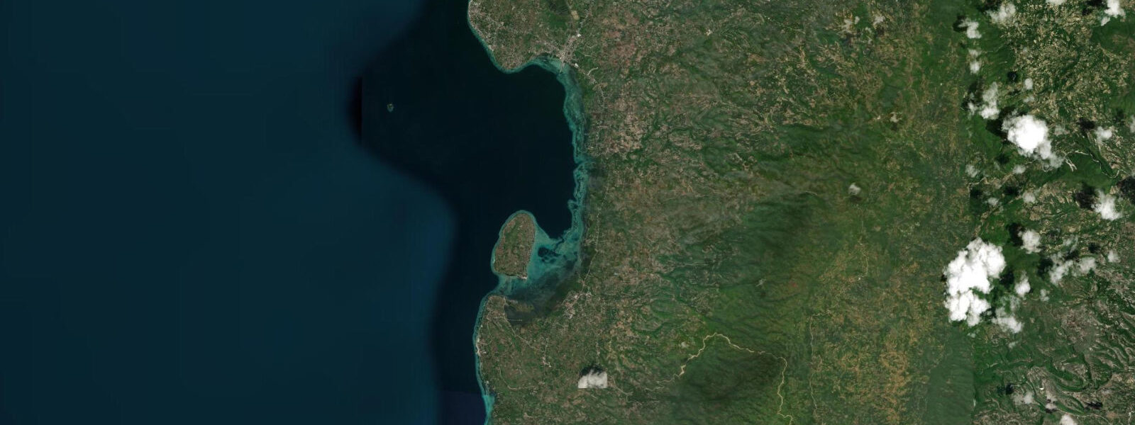
Moalboal is on the southwest coast of Cebu, 90 kilometres from Cebu City, where the island's limestone terrain meets the Tañon Strait. The strait, one of the longest in the Philippines, separates Cebu from Negros Island across 18 kilometres of open water. The Moalboal coastline is predominantly cliff-backed — white limestone rising directly from the sea, with no beach in the conventional sense at Panagsama Beach, just the water's edge dropping into productive diving depth within metres of shore.
Tides at Moalboal follow the same mixed semidiurnal pattern as the rest of the Cebu coast: approximately 0.8–0.9 metres mean range, two unequal highs and lows daily. At low water, the rocky reef flat at the base of the limestone cliffs becomes exposed or very shallow. White Beach, a short distance from Panagsama, has a broader reef flat than the cliff sections; at low water this flat extends and exposes coral heads, making it reef-walk territory rather than swim territory — problematic for coral health. Timed entries around mid-tide and above are the standard.
The sardine run is Moalboal's claim to global attention. A permanent resident school of millions of Sardine lemuru — Sardinella lemuru — moves in formation close to shore off Panagsama Beach year-round, though peak density is typically from October through March. The school is large enough to darken the water column and performs the defensive bait-ball behaviour — a spiralling, shape-shifting mass that responds to predation pressure from trevally, mackerel, and occasional thresher sharks — within easy view of snorkellers in shallow water. It is not tide-dependent; the school is present regardless of tidal state. What tide governs is whether the entry from shore is comfortable or whether you are scrambling over exposed reef.
The underwater topography beyond the sardine run is a coral wall that drops from 5 metres to beyond 40 metres along most of the Panagsama stretch. The wall structure is largely intact; Moalboal was hit by Typhoon Odette (Rai) in December 2021, which caused significant damage to the shallower reef sections, but the wall below 15 metres came through in relatively good condition. Recovery of the shallow sections is ongoing and visible to divers returning to sites they knew pre-typhoon.
The dive shop infrastructure at Panagsama Beach is extensive relative to the town's size — the area has been a dive destination since the early 1980s and the market is established. Technical diving (twin-set, CCR, decompression profiles) is well-supported. Freediving is increasingly organised around the same operators. The Tañon Strait is a cetacean corridor — spinner dolphins, whale sharks, and occasional Bryde's whales are reported from boats operating offshore of Moalboal, predominantly April through June.
Predictions on this page come from Open-Meteo Marine, a gridded global ocean model. Accuracy is typically within plus or minus 45 minutes on timing and 0.2 to 0.3 metres on height — model-derived, not from a local gauge. For authoritative Philippine tide data, consult NAMRIA (National Mapping and Resource Information Authority), which publishes official tide tables for Philippine stations.
Tide questions about Moalboal
Quick answers to the most common questions about tide times, range, and water access at Moalboal.
What is the sardine run at Moalboal and is it affected by tides?
A permanent resident school of millions of Sardinella lemuru occupies the water column off Panagsama Beach year-round, with peak density typically October through March. The school moves in a coordinated bait-ball formation in response to predation — trevally, mackerel, and occasionally thresher sharks push it into the defensive spiral that makes it spectacular to watch. The phenomenon is not tide-dependent; the sardines are present at high and low water alike. What tide does govern is entry conditions from shore: at lower low water the reef flat at Panagsama is shallow enough to make entry difficult. Plan entries for mid-tide or higher for a comfortable shore swim to the school.
What is the tidal range at Moalboal?
Moalboal sits on the southwest Cebu coast facing the Tañon Strait, within the same mixed semidiurnal tidal regime as the rest of the island. Mean range is approximately 0.8 to 0.9 metres above Chart Datum, with two unequal highs and two lows each day. The lower low water stand exposes reef flat at White Beach and makes shore entries over the limestone-base sections at Panagsama very shallow. Tidal state is a practical planning factor for every shore dive and snorkel here. NAMRIA publishes authoritative Philippine tide tables.
How badly did Typhoon Odette damage Moalboal's reefs?
Typhoon Odette (international name Rai) struck Cebu in December 2021 and caused significant structural damage to the shallow reef sections at Moalboal — primarily the coral heads between 5 and 15 metres. The wall below 15 metres suffered less and remains largely intact. By 2024, dive operators were reporting visible regrowth on affected sections, though the pre-typhoon structure of some shallow sites has not fully recovered. The sardine school was unaffected and returned to normal behaviour within weeks of the storm. Checking recent operator trip reports before a dive visit is worthwhile for current site conditions.
What marine megafauna can be seen from Moalboal?
The Tañon Strait, separating Cebu from Negros, is a protected cetacean sanctuary and a known corridor for spinner dolphins, which are regularly seen from boats working offshore of Moalboal. Whale sharks are reported at various points along the strait, most frequently April through June. Thresher sharks appear seasonally around the offshore seamounts, and the sardine run itself attracts trevally and mackerel predation daily. Sea turtles are resident on several of the Moalboal dive sites year-round.
Are the tide predictions on this page suitable for dive planning or navigation?
No. Predictions here come from Open-Meteo Marine, a global ocean model providing indicative tide timing and height guidance — not certified nautical data. For dive operators planning shore entries around tidal state, or for vessels crossing the Tañon Strait, use official NAMRIA tide tables for the relevant Philippine stations. The Tañon Strait carries current; passage timing should use authoritative tidal data, not model output from this site.
8-day tide table — Moalboal
Heights relative to MSL. Predictions: Open-Meteo Marine (MeteoFrance SMOC, 0.08° grid) — heights relative to MSL (not chart datum / LAT). Model-derived.
| Day | Type | Time | Height |
|---|---|---|---|
| Sun 21 Jun | Low | 08:00 | 0.5m |
| High | 15:00 | 1.5m | |
| Low | 22:06 | 0.0m | |
| Mon 22 Jun | High | 16:06 | 1.3m |
| Low | 22:40 | 0.2m | |
| Tue 23 Jun | High | 05:20 | 1.2m |
| Low | 11:23 | 0.5m | |
| High | 17:22 | 1.0m | |
| Low | 23:16 | 0.3m | |
| Wed 24 Jun | High | 06:11 | 1.3m |
| Low | 13:03 | 0.4m | |
| High | 18:42 | 0.9m | |
| Low | 23:55 | 0.4m | |
| Thu 25 Jun | High | 07:00 | 1.4m |
| Low | 14:24 | 0.2m | |
| High | 20:06 | 0.8m | |
| Fri 26 Jun | Low | 00:50 | 0.5m |
| High | 07:55 | 1.5m | |
| Low | 15:25 | 0.0m | |
| High | 21:24 | 0.8m | |
| Sat 27 Jun | Low | 01:50 | 0.6m |
| High | 08:41 | 1.6m | |
| Low | 16:11 | -0.1m | |
| High | 22:20 | 0.9m | |
| Sun 28 Jun | Low | 02:45 | 0.6m |
| High | 07:00 | 1.3m |