Cebu City tide times
Cebu City tide forecast — heights relative to MSL.
Today's tide times for Cebu City
Tide times at Cebu City on Sunday, 21 June 2026: first low tide at 08:00, first high tide at 14:39, second low tide at 21:45. Sunrise 05:24, sunset 18:07.
Tide chart for Cebu City
24-hour cosine-interpolated curve around the present moment. Heights relative to MSL. Predictions: Predictions: Open-Meteo Marine (MeteoFrance SMOC, 0.08° grid).
Sun, moon and conditions on Sun 21 Jun
Snapshot at build time — refreshes daily. Sea state from Open-Meteo Marine.
Highs and lows next 7 days
Every predicted high and low for the next week, with the daily tidal coefficient (0–120; higher = bigger swing, > 95 means stronger currents).
Other spots nearby
The three closest curated TideTurtle locations to Cebu City, measured by great-circle distance.

Today's solunar windows
Solunar tradition: major periods are the ≈3h windows around moon transit and opposition; minor are ≈2h around moonrise and moonset. Pair with the local tide stage and wind for the best read.
Cycle dates near Cebu City
Last spring tide on Sun 21 Jun (range 1.3m). Next spring tide on Sat 27 Jun (range 1.5m). Next neap on Fri 26 Jun.
Spring tides cluster around new and full moons (biggest swings). Neap tides land on quarter moons (smallest swings). See the spring tide and neap tide glossary entries for the why.
About tides at Cebu City
A short guide to the coastline at Cebu City — geography, sea state, and what the tide is actually doing under your feet.
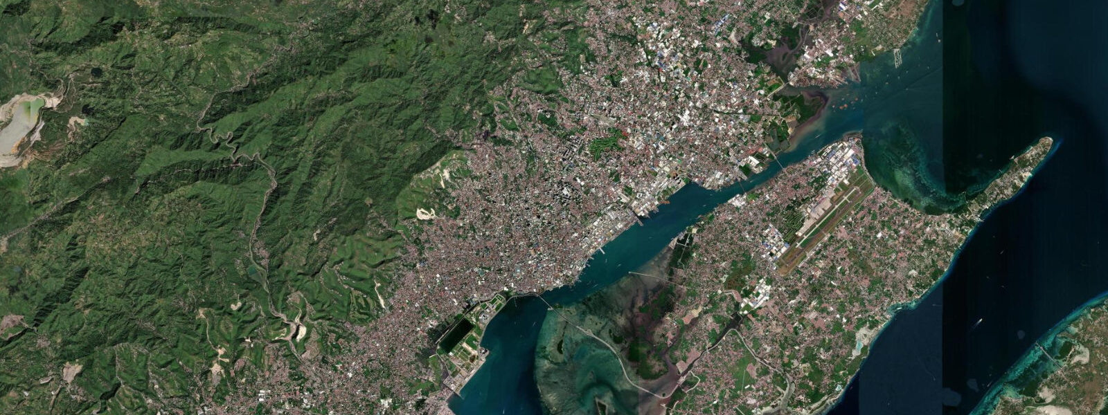
Cebu City is the Philippines' second city by most measures — population, port throughput, regional economic weight — and its relationship with the sea is functional as much as scenic. The Mactan Channel separates the city from Mactan Island to the east; the channel's ferry and cargo traffic is constant, and the port handles inter-island shipping volumes that make Cebu the logistics hub of the Visayas. The sea here is working water.
Tides at Cebu City are mixed semidiurnal, with a mean range of 0.8 to 1.0 metres above Chart Datum. The two daily highs and lows are unequal — higher high, lower low, and two intermediate levels each day — which is characteristic of the Visayan Sea and the broader Philippine Archipelago. At a 0.9-metre mean range the tide is mesotidal, noticeable on harbour approaches and in the way the waterfront looks at different points in the cycle, but not the dominant force on beach character that larger-range coastlines experience.
The city's coastal history is layered in a way most Philippine cities are not. The Basílica Minore del Santo Niño in the old town holds the image of the Christ Child that Magellan's expedition brought to Cebu in 1521 — the oldest Roman Catholic relic in the Philippines. Magellan's Cross, a few metres away, marks the site of the mass baptism that followed. Fort San Pedro, built by Miguel López de Legazpi in 1565 as the first Spanish fortification in the Philippines, still stands on the waterfront. These layered colonial landmarks are within walking distance of one another in a city of roughly 1.2 million people.
For the tide user, the practical Cebu City question is usually about ferry access. The Cebu South Bus Terminal and the various pier terminals are tidal-aware environments — large vessels are unaffected, but small inter-island boats and pump boats to nearby islands run timetables loosely coupled to tide state. Low water at the open ferry landings can add a longer walk across exposed ramp structure; this is worth knowing when travelling to smaller islands off the Cebu coast.
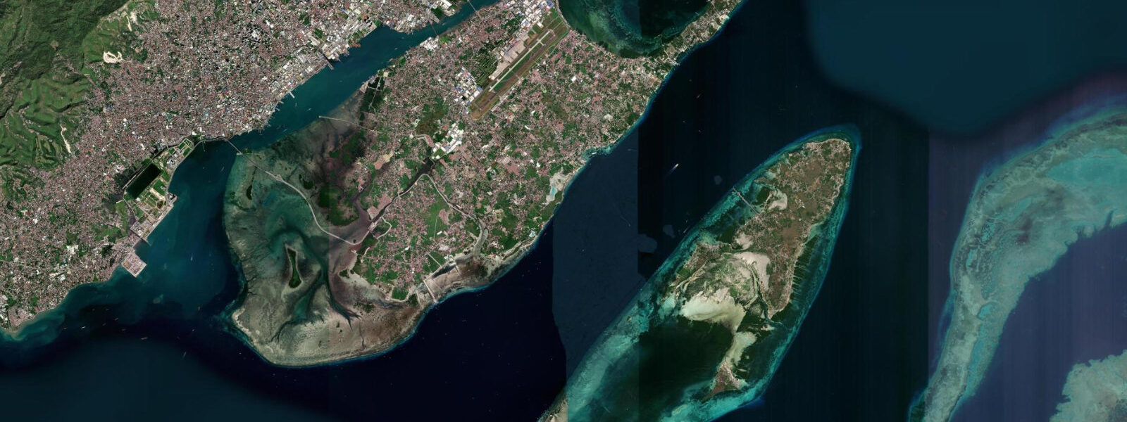
Swimming and snorkelling directly from Cebu City's urban waterfront is not the point — the city's reef access is concentrated on Mactan and the destinations to the southwest. The city functions as the access hub: the airport, the inter-island ferry network, and the accommodation base from which divers, snorkellers, and island-hoppers distribute outward through the archipelago.
Predictions on this page come from Open-Meteo Marine, a gridded global ocean model. Accuracy is typically within plus or minus 45 minutes on timing and 0.2 to 0.3 metres on height — model-derived, not from a local gauge. For authoritative Philippine tide data, consult NAMRIA (National Mapping and Resource Information Authority), which publishes official tide tables for Cebu and other Philippine stations.
Tide questions about Cebu City
Quick answers to the most common questions about tide times, range, and water access at Cebu City.
What is the tidal range at Cebu City?
Cebu City experiences mixed semidiurnal tides — two unequal highs and two unequal lows each day. Mean tidal range sits between 0.8 and 1.0 metres above Chart Datum, placing the coast in the mesotidal category. The higher high water and lower low water on any given day can differ substantially from the two intermediate stands. NAMRIA (National Mapping and Resource Information Authority) is the authoritative source for official Philippine tide predictions; the figures on this page come from the Open-Meteo Marine model, accurate to approximately ±45 minutes and ±0.2–0.3 metres.
How do tides affect ferry travel from Cebu City?
Large ferries operating from the main Cebu piers are unaffected by tidal state — the harbour is deep and berthing infrastructure is designed for the full tidal range. Smaller pump boats and outrigger bancas serving nearby islands and resort landings can be tide-sensitive: low water on sloping ramps or shallow reef-edge landings adds walking distance or requires wading. When booking a pump boat to a smaller island, it is worth asking the operator whether the departure time is tide-constrained.
What are the main historical sites on Cebu City's waterfront?
Fort San Pedro, built in 1565 by Miguel López de Legazpi as the first Spanish fortification in the Philippines, stands on the Cebu City waterfront near Pier 1. The Basílica Minore del Santo Niño and Magellan's Cross are a short walk inland — the basilica holds the image of the Christ Child brought by Magellan's expedition in 1521, the oldest Roman Catholic relic in the country. Together these sites span the moment of Spanish colonisation and the establishment of the Philippines as a Catholic archipelago, all within a few hundred metres of the active port.
Is snorkelling or diving accessible directly from Cebu City?
Not practically from the urban waterfront — the city's harbour is industrial and visibility is poor. The accessible dive and snorkel sites are on Mactan Island, reached by road bridge (20–30 minutes from the city centre), and along the southwest coast at Moalboal (approximately 90 minutes by bus). Mactan's resort dive operators offer house reef snorkelling and reef dive packages; Moalboal's Panagsama Beach dive shops access both the sardine run and offshore coral walls. Cebu City functions as the logistics base rather than the dive site.
Are the tide predictions on this page suitable for navigation?
No. Predictions here come from Open-Meteo Marine, a global ocean model providing indicative tide timing and height guidance — not certified nautical data. For passage planning, port operations, or any navigational purpose in Philippine waters, use official NAMRIA tide tables, Philippine Coast Guard notices to mariners, and current official charts. Always verify conditions against authoritative sources before putting any vessel to sea.
8-day tide table — Cebu City
Heights relative to MSL. Predictions: Open-Meteo Marine (MeteoFrance SMOC, 0.08° grid) — heights relative to MSL (not chart datum / LAT). Model-derived.
| Day | Type | Time | Height |
|---|---|---|---|
| Sun 21 Jun | Low | 08:00 | 0.5m |
| High | 14:39 | 1.4m | |
| Low | 21:45 | 0.1m | |
| Mon 22 Jun | High | 04:08 | 1.0m |
| Low | 09:21 | 0.5m | |
| High | 15:40 | 1.2m | |
| Low | 22:12 | 0.2m | |
| Tue 23 Jun | High | 04:50 | 1.1m |
| Low | 10:50 | 0.5m | |
| High | 16:36 | 1.0m | |
| Low | 22:43 | 0.3m | |
| Wed 24 Jun | High | 05:40 | 1.2m |
| Low | 12:50 | 0.5m | |
| High | 18:00 | 0.8m | |
| Low | 23:10 | 0.5m | |
| Thu 25 Jun | High | 06:24 | 1.4m |
| Low | 14:20 | 0.3m | |
| Fri 26 Jun | High | 07:19 | 1.4m |
| Low | 15:23 | 0.2m | |
| High | 21:06 | 0.7m | |
| Sat 27 Jun | Low | 00:42 | 0.6m |
| High | 08:04 | 1.5m | |
| Low | 16:06 | 0.0m | |
| High | 22:18 | 0.7m | |
| Sun 28 Jun | Low | 01:42 | 0.6m |
| High | 07:00 | 1.4m |