Iloilo, Western Visayas tide times
Iloilo, Western Visayas tide forecast — heights relative to MSL.
Today's tide times for Iloilo, Western Visayas
Tide times at Iloilo, Western Visayas on Friday, 19 June 2026: first low tide at 08:00, first high tide at 12:39, second low tide at 20:50. Sunrise 05:28, sunset 18:13.
Tide chart for Iloilo, Western Visayas
24-hour cosine-interpolated curve around the present moment. Heights relative to MSL. Predictions: Predictions: Open-Meteo Marine (MeteoFrance SMOC, 0.08° grid).
Sun, moon and conditions on Fri 19 Jun
Snapshot at build time — refreshes daily. Sea state from Open-Meteo Marine.
Highs and lows next 7 days
Every predicted high and low for the next week, with the daily tidal coefficient (0–120; higher = bigger swing, > 95 means stronger currents).
Other spots nearby
The three closest curated TideTurtle locations to Iloilo, Western Visayas, measured by great-circle distance.

Today's solunar windows
Solunar tradition: major periods are the ≈3h windows around moon transit and opposition; minor are ≈2h around moonrise and moonset. Pair with the local tide stage and wind for the best read.
Cycle dates near Iloilo, Western Visayas
Last spring tide on Fri 19 Jun (range 1.9m). Next neap on Sat 20 Jun.
Spring tides cluster around new and full moons (biggest swings). Neap tides land on quarter moons (smallest swings). See the spring tide and neap tide glossary entries for the why.
About tides at Iloilo, Western Visayas
A short guide to the coastline at Iloilo, Western Visayas — geography, sea state, and what the tide is actually doing under your feet.
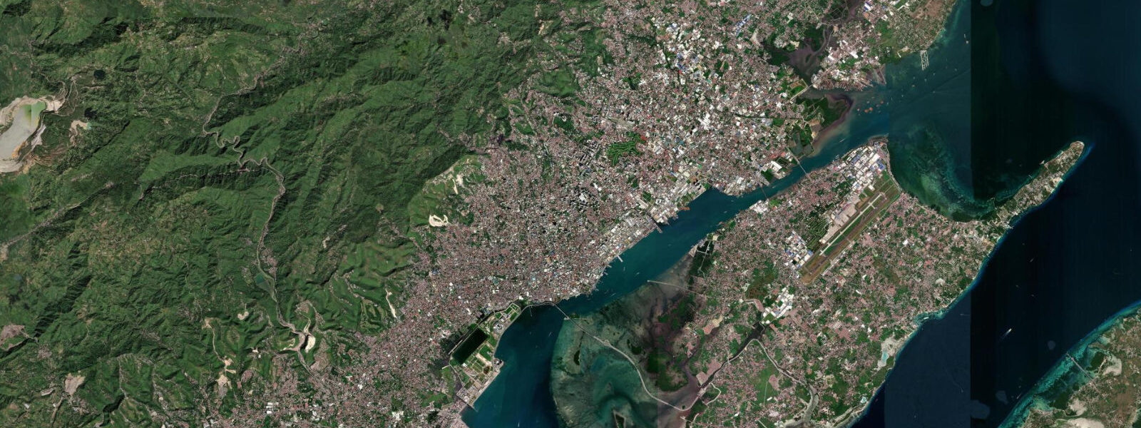
Iloilo City sits at the southeastern tip of Panay island, facing the Iloilo Strait and the island of Guimaras across a channel that is shallow, current-active, and tied to the daily tidal cycle more directly than most Philippine city waterfronts. The city is built around the mouth of the Iloilo River, which enters the strait through the urban core and carries tidal influence 10 km upstream — boats and small commercial craft navigate the river on a schedule that treats the tidal curve as a working constraint.
The Philippine tidal regime in the Iloilo Strait is mixed semidiurnal — two unequal high waters and two unequal low waters each day, with mean range of 1.0–1.5 m. That range is modest compared to Atlantic or Andaman Sea ports, but the Iloilo Strait geometry concentrates the tidal flow: on spring tides, current in the channel between Iloilo and Guimaras runs 1–2 knots. That is significant for the 15-minute ferry crossing and for small craft transiting the strait.
The Iloilo Esplanade is the city's main promenade park, running along the river mouth. Its boardwalk level is calibrated to mean high water — the step down to the water is small at high tide, and at low water the river banks and some tidal mudflat are exposed below the promenade. The river is tidal for its first 10 km from the mouth; boatmen and river-transport operators know the tidal window for moving laden cargo vessels and check current direction before setting off upriver. Incoming flood assists upriver passage; ebb assists the downstream return. The timing shifts by roughly 50 minutes each day as the tidal cycle advances.
Guimaras Island is 15 minutes across the strait from the Parola wharf terminal. The ferry route crosses the active tidal channel, where current direction and speed change four times a day. Experienced pilots adjust heading to compensate for cross-channel set on strong spring tides; passengers rarely notice, but small outrigger bancas that also make the crossing are more affected. The Guimaras crossing is the primary public transport link between the island's population and Iloilo's services and markets.
Guimaras carries a significant piece of recent environmental history. In August 2006 a tanker carrying fuel oil capsized in the strait and released oil that spread across roughly 100 km of Guimaras coastline — intertidal flats, mangrove fringes, seagrass beds, and coral patches. The spill was one of the worst in Philippine history and caused substantial ecological damage to the island's coastal fisheries and marine environment. Over the following years, a combination of government cleanup, community-led restoration, and natural recovery progressively brought the seagrass beds and reef patches back. By 2026 the biological recovery is considered advanced but not complete — monitoring of seagrass health and shellfish populations in former impact zones continues.
For anglers, the Iloilo Strait offers a tidal fishing pattern. The current change — the 20–30 minute window after slack water when species that feed in current reactivate — is the productive moment. The deep sections of the strait between Fort San Pedro, Iloilo's Spanish colonial fortress near the waterfront, and the Guimaras shore hold snapper and grouper; bottom-fishing is most productive on ebb current for the Iloilo-side anglers and on flood for those working the Guimaras banks. Local fisherfolk have specific spots and timing they do not publish; observation at the Parola wharf area at different tidal stages is more educational than most guides.
Paddlers and kayakers using the Iloilo River should time downstream runs to begin on the ebb — the river current plus tidal ebb creates a comfortable downstream flow from the upper reaches to the mouth. Returning upstream on flood current is the symmetrical pattern. The tidal interface — where the saline front of the flood meets the fresh river water — moves roughly 2–5 km upstream depending on river flow and tide height, and is visible as a turbidity change in the water.
The Molo Church, a few kilometres west of the city centre on the waterfront side of the peninsula, and Fort San Pedro near the strait edge are both historically significant landmarks within the tidal reach of the river system. Neither is endangered by normal tidal fluctuation, but storm surge from typhoons — which track across Panay regularly in the Western Pacific season — is a different concern and the reason the Esplanade boardwalk elevation was designed with the height margin it has.
Tide data for Iloilo, Western Visayas comes from the Open-Meteo Marine API, a gridded model product. Timing accuracy is ±45 minutes, height accuracy ±0.3 m — usable for trip planning, not for navigation.
Tide questions about Iloilo, Western Visayas
Quick answers to the most common questions about tide times, range, and water access at Iloilo, Western Visayas.
How does the tidal current in the Iloilo Strait affect the ferry to Guimaras?
Spring tides in the Iloilo Strait generate cross-channel current of 1–2 knots during the main flood and ebb phases. The 15-minute ferry crossing from Parola wharf to Guimaras compensates automatically — the pilots adjust heading to track the correct arrival point on the Guimaras side regardless of current direction. For passengers on the commercial ferry, the current is invisible. For small outrigger bancas or private boats making the crossing, the set is more significant and timing the crossing near slack water is worth doing. Slack water in the strait lasts roughly 20–30 minutes around each high and low water; transit in that window minimises lateral set. On neap tides the current is mild at all tidal stages.
Is it safe to eat seafood from Guimaras after the 2006 oil spill?
Philippine fisheries and environmental agencies declared the Guimaras marine environment progressively recovering from the 2006 tanker spill. By 2026, commercial fishing and aquaculture have resumed across most of the former impact zone, and seagrass and reef monitoring shows advanced biological recovery. The local fishing community relies on Guimaras waters as primary livelihood; the fishing grounds are open and government-monitored. The risk profile today is not significantly different from other Western Visayas fishing grounds. For anyone with specific dietary concerns, checking with local BFAR (Bureau of Fisheries and Aquatic Resources) monitoring reports provides current status — but the precautionary concern relevant in 2006–2012 does not apply at the same level now.
How far does tidal influence reach up the Iloilo River and does it affect boat navigation?
Tidal influence in the Iloilo River extends roughly 10 km from the mouth under normal dry-season river flow conditions. The saline front — the point where incoming flood water meets fresh river water — moves upriver on flood and retreats on ebb, and is visible as a turbidity change. Boatmen navigating the urban stretch of the river time their passages to the tidal current: laden craft head upriver on flood and downstream on ebb where possible. The tidal current in the river is not strong — typically 0.3–0.6 knots in the main channel — but on a fully loaded banca the difference between flood assist and ebb resistance matters over a 10 km run. The tidal timing shifts by roughly 50 minutes each day, which experienced river operators track informally.
What is the best tidal state for fishing the Iloilo Strait?
The 20–30 minute window immediately after each slack water — when current reactivates from near-zero — is consistently the most productive period for the species that feed actively in current in the Iloilo Strait. Snapper and grouper in the deeper channel sections respond to the reactivating ebb and flood in different ways depending on their position relative to the current direction. Iloilo-side anglers working the Fort San Pedro shoreline and the channel edge report best results on the ebb, which pushes bait fish toward the Panay side. Guimaras-side anglers report the reverse on flood. These are general patterns; local fisherfolk at the Parola wharf area are the practical authority on specific grounds and timing.
Does low tide affect the Iloilo Esplanade boardwalk access?
The Iloilo Esplanade boardwalk is built at a level calibrated to mean high water, which means at low water the river bank below the promenade is exposed — typically 0.8–1.2 m of bank and some mudflat is visible below the boardwalk edge. This does not affect access to or use of the promenade itself, which remains at grade regardless of tidal state. The visual and olfactory character of the river at low water is different — exposed mud is visible and the river smells more strongly of estuary — but the promenade is fully functional at all tidal states. At high water the river surface is close to the boardwalk level and the maritime character of the Esplanade is more pronounced.
8-day tide table — Iloilo, Western Visayas
Heights relative to MSL. Predictions: Open-Meteo Marine (MeteoFrance SMOC, 0.08° grid) — heights relative to MSL (not chart datum / LAT). Model-derived.
| Day | Type | Time | Height |
|---|---|---|---|
| Fri 19 Jun | Low | 08:00 | 0.8m |
| High | 12:39 | 1.8m | |
| Low | 20:50 | -0.1m | |
| Sat 20 Jun | High | 03:18 | 0.6m |
| Low | 21:19 | 0.0m | |
| Sun 21 Jun | High | 03:54 | 0.7m |
| Low | 07:47 | 0.6m | |
| High | 14:24 | 1.3m | |
| Low | 21:52 | 0.2m | |
| Mon 22 Jun | — | ||
| Tue 23 Jun | High | 05:07 | 1.1m |
| Low | 11:20 | 0.6m | |
| High | 16:47 | 0.9m | |
| Low | 22:45 | 0.4m | |
| Wed 24 Jun | High | 05:56 | 1.2m |
| Low | 13:20 | 0.5m | |
| Thu 25 Jun | High | 06:36 | 1.4m |
| Low | 14:38 | 0.3m | |
| Fri 26 Jun | High | 07:00 | 1.4m |