Pucusana, Lima Region tide times
Pucusana, Lima Region tide forecast — heights relative to MSL.
Today's tide times for Pucusana, Lima Region
Tide times at Pucusana, Lima Region on Friday, 19 June 2026: first low tide at 01:55, first high tide at 09:12. Sunrise 06:26, sunset 17:50.
Tide chart for Pucusana, Lima Region
24-hour cosine-interpolated curve around the present moment. Heights relative to MSL. Predictions: Predictions: Open-Meteo Marine (MeteoFrance SMOC, 0.08° grid).
Sun, moon and conditions on Fri 19 Jun
Snapshot at build time — refreshes daily. Sea state from Open-Meteo Marine.
Highs and lows next 7 days
Every predicted high and low for the next week, with the daily tidal coefficient (0–120; higher = bigger swing, > 95 means stronger currents).
Other spots nearby
The three closest curated TideTurtle locations to Pucusana, Lima Region, measured by great-circle distance.
Today's solunar windows
Solunar tradition: major periods are the ≈3h windows around moon transit and opposition; minor are ≈2h around moonrise and moonset. Pair with the local tide stage and wind for the best read.
Cycle dates near Pucusana, Lima Region
Last spring tide on Thu 18 Jun (range 0.9m). Next neap on Tue 23 Jun.
Spring tides cluster around new and full moons (biggest swings). Neap tides land on quarter moons (smallest swings). See the spring tide and neap tide glossary entries for the why.
About tides at Pucusana, Lima Region
A short guide to the coastline at Pucusana, Lima Region — geography, sea state, and what the tide is actually doing under your feet.
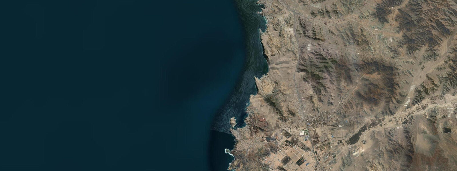
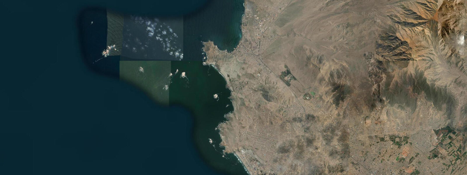
Pucusana is 60 km south of Lima, accessed through a single cliff-side road cut that drops into a small bay enclosed on three sides by rock walls. The enclosure is near-total: the cliffs to the north, east, and south shelter the inner harbour from the coastal swell that runs up from the Southern Ocean on the open Pacific outside. On days when the exposed coast is running 1.5–2.0 m, the surface inside Pucusana Bay is flat. This is why a fishing fleet of fibreglass pangas and wooden launches has operated from here for generations — the boats can come and go in conditions that would keep most open-beach fisheries tied up.
The Pacific Peru tide is semidiurnal with a mean spring range of 0.5–1.0 m. The Humboldt Current keeps water temperatures in the 14–17°C range at the surface, with colder pulses during strong upwelling events. The current runs north along the coast at 0.5–1.5 knots offshore; inside the bay the net movement is negligible. The bar at the bay entrance — the shallow patch between the two headlands where La Vieja Island and Pelicano Island sit — is navigable at all tide states given the small range. The fishing fleet comes and goes without scheduling around the tide; it is a swell and wind call, not a tide call.
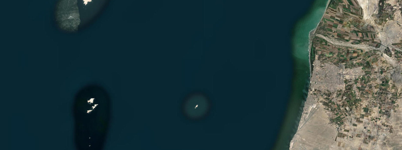
La Vieja Island and Pelicano Island at the bay mouth are the main draw for visitors who are not part of the fishing community. South American sea lions (Otaria flavescens) haul out on both islands year-round, with the colony numbering several hundred animals across the two sites. Humboldt penguins (Spheniscus humboldti) — listed as vulnerable by the IUCN — are resident on the rocky shores of both islands. The penguins nest in crevices and burrows in the cliff faces above the tideline; the colony here is stable and approachable by boat. Boat trips from the Pucusana waterfront run daily when conditions allow. Operators launch from the calm inner bay, transit the entrance channel, and approach both islands from their lee sides. The current around the exposed western and northern faces of the islands runs 1–2 knots and can push a small boat off-course quickly — experienced operators know to stay downwind and downcurrent.
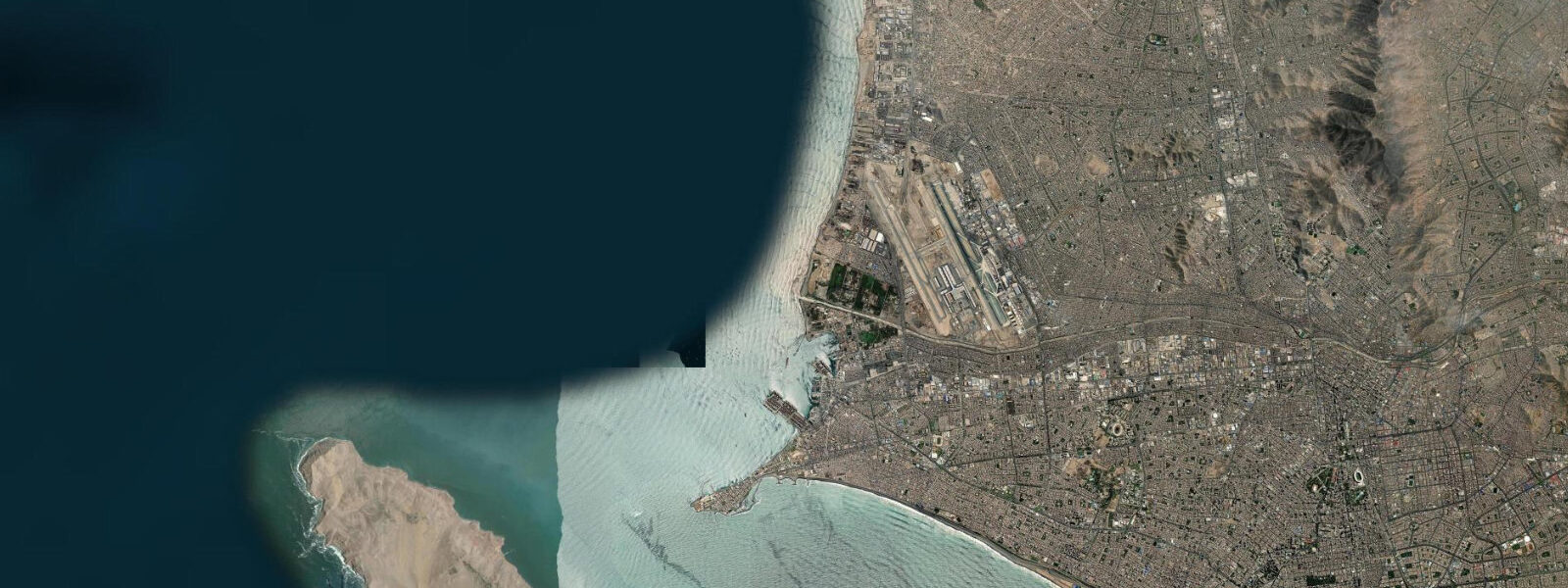
The fishing village itself has a population of around 12,000. The economy is centred on the fleet and on the processing and sale of catches. The cevichería strip along the waterfront — a row of small restaurants built into the cliff base and opening directly onto the harbour promenade — is the social hub. The fish served there comes off the boats in the morning; what is not sold to Lima's market trucks ends up on the tables by midday. Corvina ceviche is the standard order. The strip is most active on weekends when day-trippers arrive from Lima via the Panamericana Sur highway.
For shore fishing, the rocky platforms at the northern headland are the most accessible sites. The incoming tide — the two hours before high water — concentrates corvina and lorna drum against the rocks as they follow the rising waterline. From the southern end of the waterfront, the cliff walk leads around to a set of flat rocks that are exposed at low water and submerged at high spring water; the transition zone around those rocks is the most productive stretch for hand-line fishing targeting small species.
Paddlers face a different calculation from the fishing fleet. Kayaking inside the bay is straightforward at any tide state. The transit from the inner bay out to La Vieja Island requires crossing the entrance channel, where the swell refraction from the open coast can produce confused water even when the bay itself is calm. Intermediate paddlers in sea kayaks can make the crossing on settled days; beginners should stay inside. The distance from the beach to La Vieja Island is approximately 800 m.
Lima is visible to the north on clear mornings — the urban skyline above Miraflores is the reference, with the port of Callao industrial infrastructure visible at the waterline. The cliff-side road cut that gives access to Pucusana from the Panamericana is a single lane at its narrowest section; on summer weekend afternoons, the queue of vehicles returning to Lima can extend 2 km up the hill. Arriving before 09:00 or departing before 14:00 avoids the worst of it.
Tide data for Pucusana, Lima Region comes from the Open-Meteo Marine API, a gridded model product. Timing accuracy is ±45 minutes, height accuracy ±0.3 m — usable for trip planning, not for navigation.
Tide questions about Pucusana, Lima Region
Quick answers to the most common questions about tide times, range, and water access at Pucusana, Lima Region.
Can I take a boat trip to see penguins and sea lions at Pucusana?
Boat trips to La Vieja Island and Pelicano Island run daily from the Pucusana waterfront when swell and wind conditions allow — typically most days outside of winter storm periods. The operators launch from the calm inner bay and approach the islands from the lee side to avoid the 1–2 knot current on the exposed faces. Humboldt penguins (vulnerable species, resident year-round) and South American sea lions are the primary wildlife targets. The transit from the waterfront to the islands takes approximately 15 minutes in a panga. Negotiate the fare on the waterfront; there is no fixed booking system. Morning departures have calmer conditions on average.
What is the tidal range at Pucusana and does it affect the fishing fleet?
The mean spring tidal range is 0.5–1.0 m — small enough that the fishing fleet at Pucusana does not schedule around the tide. The bar at the bay entrance is navigable at all tide states for the draught of the local pangas and wooden launches. Departure and return timing is driven by swell height and wind direction, not tidal state. The inner bay is sheltered by the cliff walls on three sides, so conditions inside remain calm even when the open coast outside is running 1.5–2.0 m. The small tidal range also means the cevichería strip along the waterfront is never threatened by tidal flooding.
What fish species can I catch shore fishing at Pucusana?
Shore fishing from the rocky platforms at the northern headland targets corvina (Cilus gilberti) and lorna drum (Sciaena deliciosa) on the incoming tide, particularly the two hours before high water. The transition zone at the southern flat rocks — exposed at low water, submerged at high spring water — is productive for smaller species on hand lines. The Humboldt Current offshore keeps nutrients high, which supports the food chain that makes the Pucusana area consistently productive for coastal fishing. Water temperatures of 14–17°C are below the tropical optimum but well within the range these cold-water specialists are adapted to.
Is kayaking at Pucusana suitable for beginners?
Inside Pucusana Bay, kayaking is suitable for beginners — the enclosed geometry and small tidal range keep the water calm on most days, with no significant current. The transit from the inner bay to La Vieja Island (approximately 800 m) crosses the bay entrance channel, where swell refraction from the open Pacific can produce confused water even when inside the bay is flat. Intermediate paddlers in sea kayaks can assess and make that crossing on settled days; beginners should stay within the bay. There is no formal kayak rental on the waterfront as of 2025 — most visitors bring their own equipment or join organised tours from Lima.
How accurate is the tide data for Pucusana on tideturtle.com?
Tide predictions for Pucusana come from the Open-Meteo Marine API, a gridded model covering the global coast. Timing accuracy is ±45 minutes and height accuracy is ±0.3 m. Given the small mean spring range of 0.5–1.0 m at this location, the height uncertainty is proportionally significant — a 0.3 m error on a 0.8 m range is a 37% relative error. Use the predictions as planning guidance: they are reliable enough for timing fishing sessions, boat trips, and beach visits. For any vessel navigation with draught constraints, reference official INAHOE tide tables for the nearest gauge at Callao, approximately 60 km north.
7-day tide table — Pucusana, Lima Region
Heights relative to MSL. Predictions: Open-Meteo Marine (MeteoFrance SMOC, 0.08° grid) — heights relative to MSL (not chart datum / LAT). Model-derived.
| Day | Type | Time | Height |
|---|---|---|---|
| Fri 19 Jun | Low | 01:55 | -0.2m |
| High | 09:12 | 0.7m | |
| Sat 20 Jun | Low | 02:54 | -0.1m |
| High | 10:04 | 0.6m | |
| Low | 17:18 | -0.1m | |
| High | 22:54 | 0.3m | |
| Sun 21 Jun | Low | 04:00 | 0.0m |
| High | 11:00 | 0.6m | |
| Low | 18:04 | -0.0m | |
| Mon 22 Jun | High | 11:45 | 0.5m |
| Low | 18:55 | -0.1m | |
| Tue 23 Jun | — | ||
| Wed 24 Jun | High | 02:20 | 0.5m |
| Low | 08:15 | 0.2m | |
| High | 13:15 | 0.4m | |
| Low | 20:10 | -0.1m | |
| Thu 25 Jun | High | 03:10 | 0.5m |
| Low | 18:00 | 0.1m | |