Lima (Callao) tide times
Lima (Callao) tide forecast — heights relative to MSL.
Today's tide times for Lima (Callao)
Tide times at Lima (Callao) on Sunday, 26 July 2026: first high tide at 04:10, first low tide at 10:45. Sunrise 06:28, sunset 18:01.
Tide chart for Lima (Callao)
24-hour cosine-interpolated curve around the present moment. Heights relative to MSL. Predictions: Predictions: Open-Meteo Marine (MeteoFrance SMOC, 0.08° grid).
Sun, moon and conditions on Sun 26 Jul
Snapshot at build time — refreshes daily. Sea state from Open-Meteo Marine.
Highs and lows next 7 days
Every predicted high and low for the next week, with the daily tidal coefficient (0–120; higher = bigger swing, > 95 means stronger currents).
Other spots nearby
The three closest curated TideTurtle locations to Lima (Callao), measured by great-circle distance.
Today's solunar windows
Solunar tradition: major periods are the ≈3h windows around moon transit and opposition; minor are ≈2h around moonrise and moonset. Pair with the local tide stage and wind for the best read.
Cycle dates near Lima (Callao)
Next spring tide on Thu 30 Jul (range 0.9m). Last neap on Sat 25 Jul.
Spring tides cluster around new and full moons (biggest swings). Neap tides land on quarter moons (smallest swings). See the spring tide and neap tide glossary entries for the why.
About tides at Lima (Callao)
A short guide to the coastline at Lima (Callao) — geography, sea state, and what the tide is actually doing under your feet.
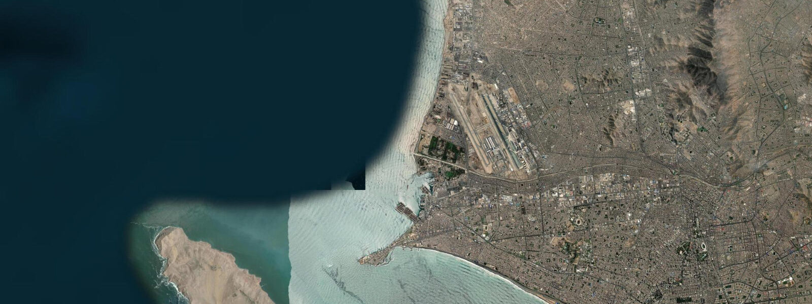
Lima fronts the Pacific on Peru's central coast where the Andes drop almost directly to the ocean, with the working port of Callao on the broad bay just north of the river mouth and the long Costa Verde cliff line running south through Miraflores, Barranco, and Chorrillos toward the surf coast at Punta Hermosa and Punta Negra. The city sits inside one of the driest coastal deserts on Earth — Lima averages under 10 millimetres of rainfall a year — but the garúa coastal fog that rolls in off the cold Humboldt Current keeps the air damp and grey for half the year. 4 on neaps.
The pattern is two highs and two lows of unequal size each day, with the difference between the higher high and the lower low varying through the lunar month. The defining oceanographic feature is not the tide range but the cold Humboldt Current that sweeps north along the coast from the Antarctic — sea-surface temperatures stay between 14 and 19 degrees year-round at this latitude despite Lima sitting at twelve degrees south, and the cold-water upwelling that the current drives feeds the largest single-species fishery on Earth: the anchoveta industrial fleet that supplies the bulk of global fish meal and fish oil. The El Niño cycle that periodically warms the surface and collapses the anchoveta catch shapes the working calendar of the entire Peruvian fishing industry.
The garúa fog season from May through November flattens the surf and turns the entire coast grey; the December-through-April clear season opens up the long Pacific swell that the south-coast breaks at Punta Hermosa, Cerro Azul, and the long left at Chicama further north all rise to. The ceviche houses at the Villa María del Triunfo wholesale market read the boat-return calendar more than the tide table; the surfers at Makaha and La Pampilla read the swell more than the height swing. The Costa Verde cliff path along the Miraflores escarpment, the surf at Waikiki Lima, and the working fishing pier at Chorrillos all read the table for different windows.
Open-Meteo Marine drives the gridded predictions on this page; for authoritative Peruvian tide data, the Dirección de Hidrografía y Navegación (DHN) of the Peruvian Navy publishes the official tide tables.
Tide questions about Lima (Callao)
Quick answers to the most common questions about tide times, range, and water access at Lima (Callao).
When is the next high tide at Lima?
The hero block shows the next high tide at the Callao harbour gauge in local Peruvian time (PET, UTC-5 year-round, no DST — Peru does not observe daylight saving). The 7-day table covers all daily highs and lows. The Pucusana fishing-cove gauge 50 kilometres south of Callao reads about 5 to 10 minutes behind the Callao gauge on the same flood.
What's the typical tide range at Lima?
Mean range is about 0.7 metres at the Callao gauge — a small mixed semidiurnal signal. Spring tides push close to 1.0 metre and neaps drop near 0.4. Two highs and two lows of unequal size each day, with the asymmetry between the higher high and the lower low varying through the lunar month. The astronomical signal is small because the Peruvian coast sits on a narrow continental shelf in the open Pacific.
Where do these tide predictions come from?
Open-Meteo Marine, a gridded global ocean model. Useful for planning the Costa Verde walks, the Punta Hermosa and Cerro Azul surf sessions, and the Callao harbour fleet windows. For authoritative Peruvian tide data, the Dirección de Hidrografía y Navegación (DHN) of the Peruvian Navy publishes the official tide tables and operates the Callao reference gauge.
How does the Humboldt Current affect what the tide does at Lima?
The Humboldt is a cold ocean current that sweeps north along the South American coast from the Antarctic, driving cold-water upwelling that keeps Lima sea-surface temperatures between 14 and 19 degrees year-round despite the equatorial latitude. The current itself does not change the astronomical tide range, but it does shape the entire ecosystem the working coast depends on — anchoveta fishing, ceviche-house supply chains, the garúa coastal fog cycle, and the El Niño collapses that periodically warm the surface and crash the fishery. The tide table on this page covers the astronomical signal; for the SST, current strength, and El Niño status, IMARPE and NOAA both publish authoritative real-time products.
Is this safe to use for navigation?
No. For piloting in or out of Callao, transiting the Pacific shelf, or working the surf-coast approaches at Punta Hermosa and Pucusana use the Dirección de Hidrografía y Navegación (DHN) authoritative tide tables, the Capitanía de Puerto del Callao pilotage guidance, and the IMARPE marine weather products. The El Niño and La Niña cycles shift surface conditions and current strength on monthly timescales and demand real-time sources.
7-day tide table — Lima (Callao)
Heights relative to MSL. Predictions: Open-Meteo Marine (MeteoFrance SMOC, 0.08° grid) — heights relative to MSL (not chart datum / LAT). Model-derived.
| Day | Type | Time | Height |
|---|---|---|---|
| Sun 26 Jul | High | 04:10 | 0.5m |
| Low | 10:45 | 0.1m | |
| Mon 27 Jul | High | 04:50 | 0.6m |
| Low | 11:20 | 0.1m | |
| High | 16:00 | 0.3m | |
| Low | 22:04 | -0.2m | |
| Tue 28 Jul | — | ||
| Wed 29 Jul | High | 05:52 | 0.7m |
| Low | 23:04 | -0.2m | |
| Thu 30 Jul | High | 06:16 | 0.7m |
| Low | 23:37 | -0.2m | |
| Fri 31 Jul | High | 06:47 | 0.7m |
| Sat 01 Aug | Low | 00:04 | -0.1m |
| High | 07:15 | 0.7m | |
| Low | 13:45 | 0.0m | |
| High | 18:00 | 0.3m | |