Ålesund tide times
Ålesund tide forecast — heights relative to MSL.
Today's tide times for Ålesund
Tide times at Ålesund on Friday, 19 June 2026: first high tide at 02:00, first low tide at 08:48, second high tide at 15:07, second low tide at 21:04. Sunrise 03:37, sunset 23:36.
Tide chart for Ålesund
24-hour cosine-interpolated curve around the present moment. Heights relative to MSL. Predictions: Predictions: Open-Meteo Marine (MeteoFrance SMOC, 0.08° grid).
Sun, moon and conditions on Fri 19 Jun
Snapshot at build time — refreshes daily. Sea state from Open-Meteo Marine.
Highs and lows next 7 days
Every predicted high and low for the next week, with the daily tidal coefficient (0–120; higher = bigger swing, > 95 means stronger currents).
Other spots nearby
The three closest curated TideTurtle locations to Ålesund, measured by great-circle distance.
Today's solunar windows
Solunar tradition: major periods are the ≈3h windows around moon transit and opposition; minor are ≈2h around moonrise and moonset. Pair with the local tide stage and wind for the best read.
Cycle dates near Ålesund
Last spring tide on Fri 19 Jun (range 1.9m). Next neap on Tue 23 Jun.
Spring tides cluster around new and full moons (biggest swings). Neap tides land on quarter moons (smallest swings). See the spring tide and neap tide glossary entries for the why.
About tides at Ålesund
A short guide to the coastline at Ålesund — geography, sea state, and what the tide is actually doing under your feet.
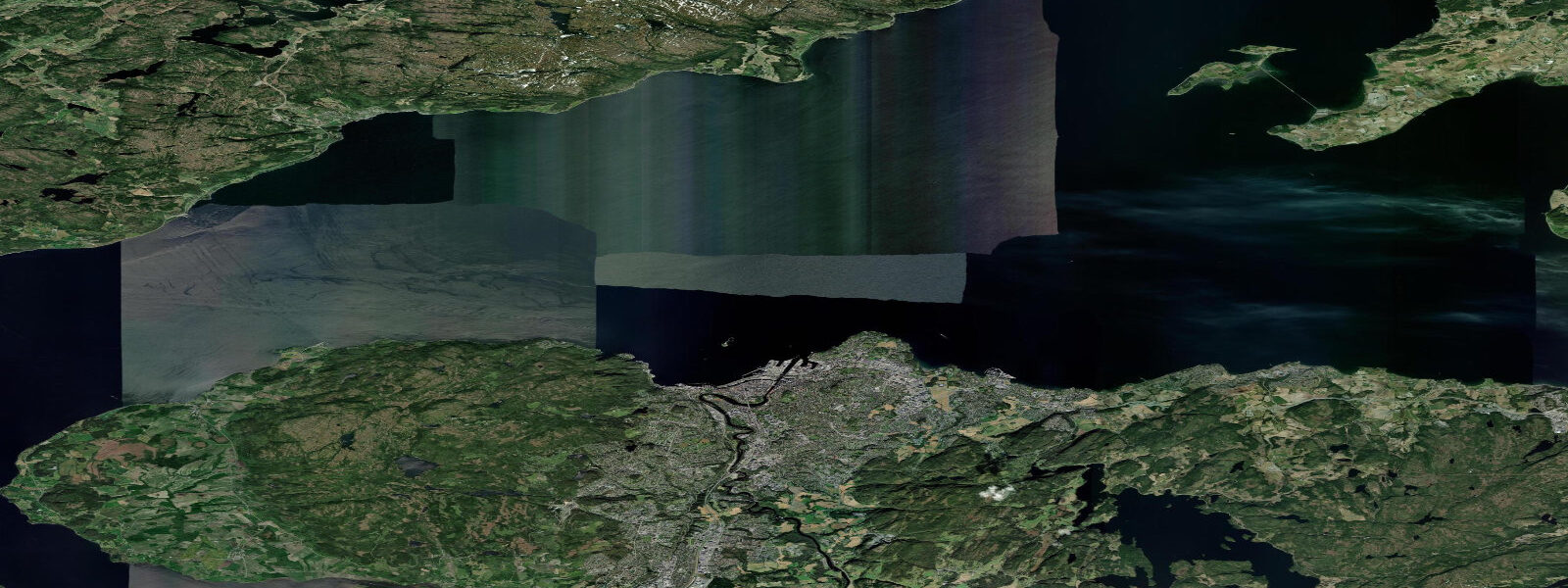
Ålesund is on the Sunnmøre coast of western Norway, built on three islands connected by bridges at the junction of three fjords. The town is famous for its Art Nouveau architecture — after a fire in 1904 destroyed nearly the entire city, it was rebuilt in the style then in fashion across Europe. The consistent architectural aesthetic gives Ålesund a coherent visual identity unusual in Norwegian coastal towns. Tidal range is semidiurnal with a mean spring range of about 1.2 metres; tidal current in the channels between the islands and in the outer fjord approaches can be significant.
Geirangerfjord — one of Norway's two UNESCO World Heritage fjords — is 120 km northeast of Ålesund and accessible by ferry from Hellesylt (via Stranda) or by a day cruise from Ålesund's passenger quay. The fjord is 15 km long, 1500 metres deep at points, and has walls rising 1400 metres vertically from the water. Seven Sisters and Suitor waterfalls drop directly into the fjord from the cliff faces. The fjord's geometry produces calm, still water inside; the approach by sea is from the Storfjord at the outer end.
Climbing on the Sunnmøre Alps (the mountains directly above Ålesund) includes some of the steepest and most committing routes in Norway. Slogen (1564 m), directly above the Hjørundfjord south of Ålesund, is considered the most beautiful mountain in Norway by some measure and is accessible as a long (10-hour) day hike from the fjordside. The view from the summit encompasses the outer Norwegian Sea coast and the fjord system in all directions.
Kayaking in the outer island archipelago (Borgundøya, Sula, Vigra) provides a more exposed North Atlantic experience than the inner fjord paddling near Bergen. The outer skerries carry Atlantic swell; tidal current between the main island groups runs 1 to 2 knots on springs. The inner channels between Ålesund's three islands are calmer and excellent for harbour-based paddling.
Fishing from Ålesund targets Atlantic cod, saithe (pollock), and Atlantic mackerel in season. The outer islands and the entrance to Storfjord are productive from small boats in summer; halibut (over 100 kg) are caught in the deeper fjord sections in late spring.
Predictions on this page come from Open-Meteo Marine, a gridded global ocean model. Accuracy is typically within plus or minus 45 minutes on timing and 0.2 to 0.3 metres on height — model-derived, not from a local gauge. For authoritative Norwegian tide predictions, consult Kartverket at kartverket.no/sehavniva.
Tide questions about Ålesund
Quick answers to the most common questions about tide times, range, and water access at Ålesund.
What is Ålesund's Art Nouveau architecture?
Following a catastrophic fire on 23 January 1904 that destroyed nearly all of Ålesund in one night, the city was rebuilt between 1904 and 1907 in the Jugendstil (Art Nouveau) style then fashionable across Europe. About 50 buildings from this reconstruction period survive in the historic centre, making Ålesund the best-preserved Art Nouveau town in Norway. The Jugendstilsenteret museum (Art Nouveau Centre) documents the period and offers guided architectural walks. The characteristic towers, turrets, organic ornament, and pale stone facades are most concentrated along Apotekergata and Kongens gate.
How do I get to Geirangerfjord from Ålesund?
Day cruises from Ålesund's passenger quay to Geirangerfjord run in summer (May through September) — journey about 4 to 5 hours each way with time in the fjord. Alternatively, drive or take bus to Hellesylt (90 minutes) and take the Hellesylt–Geiranger ferry (1 hour, multiple daily crossings in summer) to the head of the fjord. Geiranger village at the fjord head has several accommodation options for multi-day visits. Book the cruise or ferry ahead in July and August.
What is the tidal range at Ålesund?
Mean spring range at Ålesund is approximately 1.2 metres. The channel between Ålesund's islands and the outer fjord approaches carries 1 to 2 knots of tidal current on springs. The inner harbour is sheltered and tidal current minimal. For kayakers and small-boat sailors in the outer island area, checking Kartverket's tidal stream data for the specific passages planned is worthwhile.
Can I see the Atlantic ocean from Ålesund?
Yes — the outer islands to the west of Ålesund (Vigra, Godøy, Sula) face the open Norwegian Sea directly. Godøy island (accessible by tunnel from Ålesund) has the Alnes lighthouse on its western tip, which faces the Atlantic with no land between the cliff and Greenland. The lighthouse is a popular destination for the Atlantic panorama; in rough weather the cliff is genuinely spectacular. Alnes old lighthouse is a small museum; the active lighthouse still operates.
Is halibut fishing available near Ålesund?
Atlantic halibut — the world's largest flatfish, reaching several hundred kilograms — are caught in the deep fjord sections and outer banks near Ålesund from late April through July. Boat charter fishing specifically targeting halibut operates from several harbours near Ålesund. The fish are caught in 100 to 400 metres of water on live bait or large pirks. A Norwegian fishing licence is not required for recreational sea fishing in saltwater from a boat, but bag limits and species restrictions apply — check the Norwegian Environment Agency's regulations.
8-day tide table — Ålesund
Heights relative to MSL. Predictions: Open-Meteo Marine (MeteoFrance SMOC, 0.08° grid) — heights relative to MSL (not chart datum / LAT). Model-derived.
| Day | Type | Time | Height |
|---|---|---|---|
| Fri 19 Jun | High | 02:00 | 0.5m |
| Low | 08:48 | -1.3m | |
| High | 15:07 | 0.4m | |
| Low | 21:04 | -0.8m | |
| Sat 20 Jun | High | 02:55 | 0.6m |
| Low | 09:42 | -1.3m | |
| High | 16:02 | 0.3m | |
| Low | 21:56 | -0.9m | |
| Sun 21 Jun | High | 03:58 | 0.4m |
| Low | 10:40 | -1.2m | |
| High | 16:53 | 0.1m | |
| Low | 22:57 | -0.9m | |
| Mon 22 Jun | High | 04:51 | 0.1m |
| Low | 11:34 | -1.2m | |
| High | 17:57 | 0.0m | |
| Low | 23:51 | -0.8m | |
| Tue 23 Jun | High | 18:54 | 0.2m |
| Wed 24 Jun | Low | 01:06 | -0.6m |
| High | 07:02 | 0.3m | |
| Low | 13:35 | -0.7m | |
| High | 19:48 | 0.4m | |
| Thu 25 Jun | Low | 02:24 | -0.6m |
| High | 07:54 | 0.2m | |
| Low | 14:40 | -0.8m | |
| High | 20:40 | 0.2m | |
| Fri 26 Jun | Low | 01:00 | -0.5m |