Trondheim tide times
Trondheim tide forecast — heights relative to MSL.
Today's tide times for Trondheim
Tide times at Trondheim on Sunday, 21 June 2026: first high tide at 02:36, first low tide at 07:00, second high tide at 08:15, second low tide at 11:47, third high tide at 21:50. Sunrise 03:02, sunset 23:37.
Tide chart for Trondheim
24-hour cosine-interpolated curve around the present moment. Heights relative to MSL. Predictions: Predictions: Open-Meteo Marine (MeteoFrance SMOC, 0.08° grid).
Sun, moon and conditions on Sun 21 Jun
Snapshot at build time — refreshes daily. Sea state from Open-Meteo Marine.
Highs and lows next 7 days
Every predicted high and low for the next week, with the daily tidal coefficient (0–120; higher = bigger swing, > 95 means stronger currents).
Other spots nearby
The three closest curated TideTurtle locations to Trondheim, measured by great-circle distance.
Today's solunar windows
Solunar tradition: major periods are the ≈3h windows around moon transit and opposition; minor are ≈2h around moonrise and moonset. Pair with the local tide stage and wind for the best read.
Cycle dates near Trondheim
Last spring tide on Sun 21 Jun (range 0.6m). Next spring tide on Sat 27 Jun (range 0.7m). Next neap on Mon 22 Jun.
Spring tides cluster around new and full moons (biggest swings). Neap tides land on quarter moons (smallest swings). See the spring tide and neap tide glossary entries for the why.
About tides at Trondheim
A short guide to the coastline at Trondheim — geography, sea state, and what the tide is actually doing under your feet.
Trondheim sits at the head of the Trondheimsfjord where the Nid River enters the fjord basin, at 63.4 degrees north — above the latitude of Stockholm or Helsinki, but well south of the Arctic Circle. Norway's third-largest city by population, it carries a cultural and historical weight well beyond its 200,000 residents. Nidaros Cathedral stands at the city centre on the Nid River bank: the northernmost Gothic cathedral in the world, completed over several centuries from 1070 to the present restoration phase, and the burial place of Saint Olav Haraldsson (King of Norway 1015–1028, martyred at Stiklestad 1030). The medieval pilgrimage traffic that converged on the cathedral from across northern Europe made Trondheim one of the most significant cities in the medieval North Atlantic world. The St. Olav Ways pilgrim routes are still active today.
The tidal regime inside the Trondheimsfjord is semidiurnal with a mean spring range of approximately 1.5 metres above Chart Datum. The fjord geometry attenuates the coastal range: the open Norwegian Sea coast at Agdenes, the fjord mouth, experiences a larger range that diminishes as the tidal volume distributes across the fjord's width over its 130-kilometre length. At Trondheim, the tidal backflow from the fjord pushes measurably up the lower Nid River on spring tides, affecting the water level at the Bryggen waterfront and the historic quays along the river that give the city its iconic stepped-house streetscape. The Nid River bridge at Elgeseter and the quayside below the old city mark the visible tidal reach.
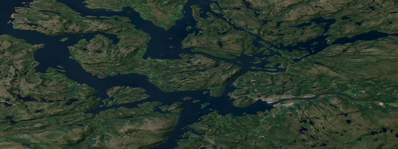
The Bryggen quay — not the Bergen one, a different waterfront with the same Norwegian word for wharf — runs along the south bank of the Nid where the river meets the fjord. The colourful warehouses with their typical steep-gabled wooden facades facing the river are the image visitors recognise; the buildings date from the 18th and early 19th centuries and now house restaurants and craft businesses, but the wharf was an active commercial landing for centuries before that. Boat tours of the Trondheimsfjord depart from the city waterfront and run through the fjord toward the outer coast, a journey that demonstrates the scale of the fjord system — wide, calm, and flanked by farmland rising to forested ridges rather than the vertical fjord walls of the west coast.
The Hurtigruten coastal express ferry is perhaps Trondheim's strongest maritime connection. The route from Bergen to Kirkenes (2,845 km, 11 days) has called at Trondheim since 1893 and continues north via Rørvik, Brønnøysund, Sandnessjøen, and the rest of the Nordland and Troms coast before reaching the northernmost Norwegian ports. The Hurtigruten arrival at Trondheim — 14:30 northbound, 10:00 southbound — is a daily fixture of the waterfront.
Sailing on the Trondheimsfjord is a significant local activity. The fjord is wide enough for racing and cruising with sheltered conditions compared to the outer coast, and the Royal Norwegian Yacht Club's Trondheim branch operates from the Nedre Elvehavn marina in the old dockyard east of the city centre. The fjord's fetch is long enough to develop a moderate chop when southwest wind blows down its axis, and the outer 30 kilometres toward Agdenes are exposed enough to produce whitecaps in a fresh westerly. Smaller dinghies and keelboats stay in the sheltered middle reaches; larger cruising yachts transit to Agdenes and the outer coast in good weather.
Fishing in the Trondheimsfjord produces cod, saithe, pollock, and mackerel. The outer fjord sections near Agdenes and Orkanger are the most productive for jigging; the inner fjord near Trondheim itself has lighter fishing pressure and lower species density. The Nid River above the tidal reach has one of Norway's designated salmon rivers — the Gaula, a tributary of the lower Nid system — and salmon fishing here is licensed and in high demand through the summer season.
Tide predictions on this page come from Open-Meteo Marine, a global gridded ocean model — typically within plus or minus 45 minutes on timing and 0.2 to 0.3 metres on height. For authoritative Norwegian tide predictions, consult Kartverket (Norwegian Mapping Authority) at kartverket.no/sehavniva, which operates a permanent tide gauge at Trondheim.
Tide questions about Trondheim
Quick answers to the most common questions about tide times, range, and water access at Trondheim.
What is the tidal range at Trondheim?
Mean spring tidal range at Trondheim inside the Trondheimsfjord is approximately 1.5 metres above Chart Datum. The tide is semidiurnal. The fjord geometry attenuates the range from the open Norwegian Sea coast at Agdenes (slightly larger) to the inner fjord at Trondheim. On spring tides, the tidal backflow pushes up the lower Nid River and is visible at the Bryggen quayside. Neap ranges are smaller, typically 0.7 to 0.9 metres. Kartverket operates an authoritative tide gauge at Trondheim and publishes predictions at kartverket.no/sehavniva.
What is Nidaros Cathedral and why is it significant?
Nidaros Cathedral (Nidarosdomen) is the northernmost medieval Gothic cathedral in the world, built on the site of the burial of Saint Olav Haraldsson — King of Norway 1015–1028 and the country's patron saint after his death at the Battle of Stiklestad in 1030. Construction began around 1070 and proceeded through multiple phases over the following centuries; the west front was not completed until the late 19th and early 20th century during a major restoration. During the medieval period, the cathedral was the primary pilgrimage destination in northern Europe outside Santiago de Compostela and Rome. It is still the traditional coronation church of Norwegian kings and the destination of active pilgrimage routes (the St. Olav Ways) converging from Norway, Sweden, and Denmark.
Can I take a boat trip on the Trondheimsfjord?
Fjord tours from Trondheim's waterfront operate seasonally (typically May through September), running out into the main fjord body and in some cases to the outer reaches toward Agdenes. The Trondheimsfjord is a very different fjord experience from the narrow steep-walled western Norway classic: it is broad, up to 20 kilometres wide in places, flanked by agricultural land and forested ridges rather than vertical cliffs. The inner fjord from Trondheim is calm water suited to kayaks, small motorboats, and sailing. Harbour cruise operators use the Trondheim Bryggen as their departure point. The Hurtigruten coastal ferry also departs daily northbound at 14:30 — a working passenger and cargo route, not primarily a tourist cruise, but a legitimate way to see the fjord coast north toward Rørvik.
What is the best time for fishing in the Trondheimsfjord?
The outer Trondheimsfjord near Agdenes and Orkanger is most productive for cod and saithe from late autumn through spring, when the fish move into the fjord following the herring and small fish. Mackerel arrive in the outer fjord from June through September and can be taken in large numbers from small boats and from the ferry quays when schools approach the surface. Pollock work the current lines on the outer skerries near Agdenes throughout the summer. The Nid River and its tributary the Gaula are designated salmon rivers with licensed fishing through the summer season (June–August); access is competitive and licences sell quickly.
Is this tide data suitable for navigation in the Trondheimsfjord?
Tide predictions on this page come from Open-Meteo Marine, a global gridded ocean model — model-derived, not from a local gauge. Accuracy is typically within plus or minus 45 minutes on timing and 0.2 to 0.3 metres on height. For general recreational planning in the calmer inner Trondheimsfjord, this is an adequate reference for departure timing and foreshore access. For passage planning through the outer fjord narrows at Agdenes and for the tidal current at the Nid River mouth, Kartverket (Norwegian Mapping Authority) publishes authoritative tidal predictions at kartverket.no/sehavniva. This site does not provide navigational guidance; users are responsible for independent verification before any marine passage.
8-day tide table — Trondheim
Heights relative to MSL. Predictions: Open-Meteo Marine (MeteoFrance SMOC, 0.08° grid) — heights relative to MSL (not chart datum / LAT). Model-derived.
| Day | Type | Time | Height |
|---|---|---|---|
| Sun 21 Jun | High | 02:36 | -0.0m |
| Low | 07:00 | -0.3m | |
| High | 08:15 | -0.3m | |
| Low | 11:47 | -0.6m | |
| High | 21:50 | -0.3m | |
| Mon 22 Jun | Low | 09:10 | -0.5m |
| High | 09:42 | -0.4m | |
| Low | 13:00 | -0.6m | |
| Low | 16:06 | -0.6m | |
| High | 19:00 | -0.5m | |
| Low | 20:40 | -0.5m | |
| Tue 23 Jun | High | 06:57 | -0.3m |
| Low | 09:36 | -0.5m | |
| High | 19:35 | -0.3m | |
| Low | 21:42 | -0.5m | |
| Wed 24 Jun | High | 01:20 | -0.0m |
| Low | 04:52 | -0.4m | |
| High | 07:45 | -0.1m | |
| Low | 10:22 | -0.4m | |
| High | 13:18 | -0.0m | |
| Low | 17:13 | -0.6m | |
| High | 20:05 | -0.2m | |
| Low | 22:40 | -0.5m | |
| Thu 25 Jun | High | 01:45 | -0.0m |
| Low | 05:26 | -0.6m | |
| High | 08:27 | -0.1m | |
| Low | 11:04 | -0.5m | |
| High | 14:07 | -0.0m | |
| Low | 17:48 | -0.6m | |
| High | 20:50 | -0.1m | |
| Low | 23:27 | -0.5m | |
| Fri 26 Jun | High | 02:24 | -0.1m |
| Low | 06:01 | -0.7m | |
| High | 09:08 | -0.1m | |
| Low | 11:52 | -0.6m | |
| High | 14:50 | -0.1m | |
| Low | 18:17 | -0.8m | |
| High | 21:32 | -0.2m | |
| Sat 27 Jun | Low | 00:13 | -0.6m |
| High | 03:06 | -0.1m | |
| Low | 06:32 | -0.7m | |
| High | 09:54 | -0.1m | |
| Low | 12:39 | -0.6m | |
| High | 15:32 | -0.1m | |
| Low | 18:50 | -0.7m | |
| High | 22:12 | -0.0m | |
| Sun 28 Jun | Low | 01:00 | -0.5m |