Rørvik tide times
Rørvik tide forecast — heights relative to MSL.
Today's tide times for Rørvik
Tide times at Rørvik on Sunday, 21 June 2026: first low tide at 02:00, first high tide at 04:20, second low tide at 11:06, second high tide at 17:12, third low tide at 23:19. Sunrise 02:21, sunset 00:12.
Tide chart for Rørvik
24-hour cosine-interpolated curve around the present moment. Heights relative to MSL. Predictions: Predictions: Open-Meteo Marine (MeteoFrance SMOC, 0.08° grid).
Sun, moon and conditions on Sun 21 Jun
Snapshot at build time — refreshes daily. Sea state from Open-Meteo Marine.
Highs and lows next 7 days
Every predicted high and low for the next week, with the daily tidal coefficient (0–120; higher = bigger swing, > 95 means stronger currents).
Other spots nearby
The three closest curated TideTurtle locations to Rørvik, measured by great-circle distance.
Today's solunar windows
Solunar tradition: major periods are the ≈3h windows around moon transit and opposition; minor are ≈2h around moonrise and moonset. Pair with the local tide stage and wind for the best read.
Cycle dates near Rørvik
Last spring tide on Sun 21 Jun (range 1.8m). Next spring tide on Sat 27 Jun (range 1.4m). Next neap on Thu 25 Jun.
Spring tides cluster around new and full moons (biggest swings). Neap tides land on quarter moons (smallest swings). See the spring tide and neap tide glossary entries for the why.
About tides at Rørvik
A short guide to the coastline at Rørvik — geography, sea state, and what the tide is actually doing under your feet.
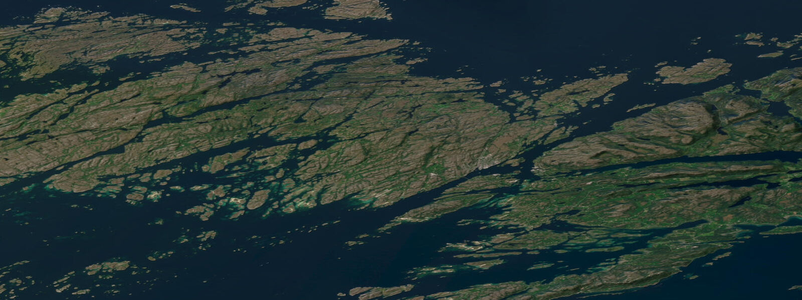
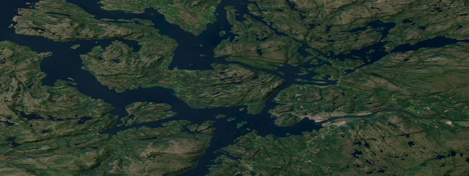
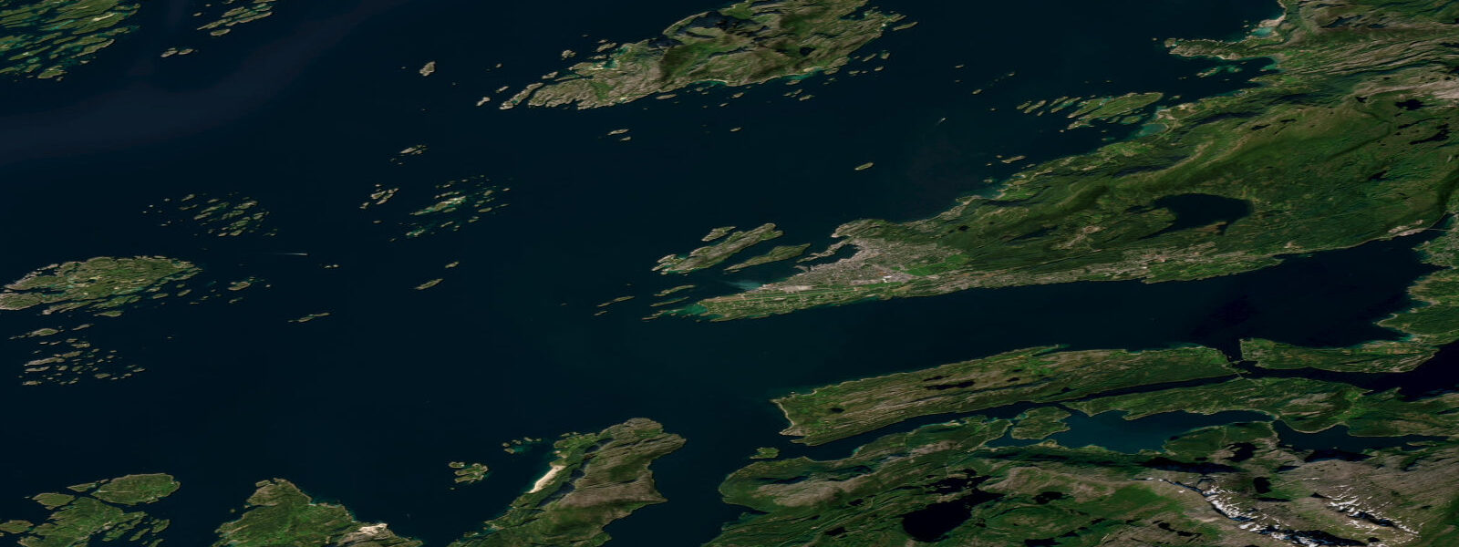
Rørvik is a small coastal town on Vikna island in outer Namdalen, at 64.9 degrees north where the Trøndelag fjord system gives way to a more exposed archipelago coast before the approach to Nordland. Mean spring tidal range at Rørvik is approximately 1.8 metres above Chart Datum — higher than the attenuated inner-fjord readings at Trondheim, because the outer Namdalen coast is more directly coupled to the open Norwegian Sea tidal forcing. The Vikna archipelago, surrounding Rørvik on all sides, is one of the largest island complexes in Norway: over 6,000 islands, islets, and skerries spread across the outer coast between the Namsfjord entrance and the Nordland county boundary.
Rørvik's most visible external connection is the Hurtigruten coastal express ferry, which has called here daily since the early years of the 20th century. Northbound arrival at approximately 21:20, southbound at approximately 08:00 — times that vary by season but are consistent enough that the ferry schedule is embedded in local life. The Hurtigruten quay is the centre of any significant activity in Rørvik's harbour on days when the ferry arrives; the combination of cargo, vehicles, and passengers loaded and unloaded in a 45-minute stop is a characteristic Norwegian coastal scene repeated in every town from Bergen to Kirkenes.
The Vikna archipelago is one of the top sea-eagle densities on the Norwegian coast. The labyrinth of channels and island edges, with the abundant fish stock in the tidal passages, supports a significant nesting population. Kayak touring through the Vikna passages consistently produces sea eagle encounters; the flat island topography means the birds are visible at low altitude over the water rather than only from cliff nests as in the mountain fjords further south. The outer islands facing the open Norwegian Sea are important seabird nesting colonies in spring and summer — razorbill, common guillemot, puffin, and great cormorant nest on the outer skerries.
The fishing character of Rørvik and the Vikna archipelago is shaped by the tidal current in the island passages. The Vikna channels carry 1 to 2 knots on spring tides; the current concentrations at the passage narrows are well-known among local anglers for producing saithe, pollock, and seasonal mackerel in the tidal stream. Bottom fishing in the outer passages targets cod and large pollock; the current timing governs the fishing position. Shore fishing from the outer island rocks facing the open sea is productive for saithe on the ebb.
The Norwegian Coastal Museum (Norsk Kystmuseum) at Rørvik is one of the more important maritime heritage institutions on the mid-Norway coast, documenting the boat-building traditions, fishing culture, and coastal navigation knowledge of the outer Trøndelag archipelago. The open-air section includes traditional Nordland boats and historic coastal structures.
Sailing through the outer Trøndelag archipelago between Rørvik and Namsos involves a mix of sheltered inner leads (the leia, the inner channel used by Norwegian coastal traffic for centuries) and more exposed outer passages where the Norwegian Sea is fully in play. The inner lead through Vikna is well-marked and manageable in most conditions; the outer island passages require attention to weather windows and tidal timing in the narrows.
Tide predictions on this page come from Open-Meteo Marine, a global gridded ocean model — typically within plus or minus 45 minutes on timing and 0.2 to 0.3 metres on height. For authoritative Norwegian tide predictions, consult Kartverket (Norwegian Mapping Authority) at kartverket.no/sehavniva.
Tide questions about Rørvik
Quick answers to the most common questions about tide times, range, and water access at Rørvik.
What is the tidal range at Rørvik?
Mean spring tidal range at Rørvik is approximately 1.8 metres above Chart Datum, somewhat larger than the Trondheim reading because the outer Namdalen coast at Vikna is more directly coupled to Norwegian Sea tidal forcing rather than attenuated by fjord geometry. The tide is semidiurnal. Tidal current in the Vikna island passages runs 1 to 2 knots on spring tides, concentrating at the channel narrows. Local fishermen and boat operators time passages and fishing positions around the tidal stream direction. Kartverket publishes authoritative tidal predictions at kartverket.no/sehavniva.
What is the Hurtigruten and does it stop at Rørvik?
Hurtigruten is the Norwegian coastal express ferry service connecting Bergen to Kirkenes (2,845 km, 11 days return journey) — a working passenger, vehicle, and cargo ferry that has operated the route since 1893 and stops at 34 ports along the way. Rørvik is one of those stops. Northbound arrival is approximately 21:20, southbound approximately 08:00, with a 45-minute window for loading and unloading. The Hurtigruten is a practical transport link for Rørvik residents and a significant point of contact with the rest of the coast; the ships also carry passengers making the scenic journey who stop and observe the working port routine.
Is kayaking in the Vikna archipelago suitable for experienced paddlers?
The inner Vikna channels on the mainland side of the archipelago are well-suited to competent sea kayakers in settled weather — sheltered from major swell, with tidal current of 1 to 2 knots that can be managed with current timing. The outer island passages facing the Norwegian Sea are open-water crossings with Atlantic swell exposure and require sea kayak experience, self-rescue capability, and good weather judgement. The archipelago's 6,000-plus islands create enormous complexity; chart reading and navigation skills are essential because visual landmarks are not always distinctive in the flat outer islands. Water temperature runs 10 to 14 degrees Celsius in summer; a drysuit or 5mm wetsuit is appropriate.
What seabirds can I see in the Vikna archipelago?
The outer skerries of Vikna support significant seabird colonies in spring and summer. Common species: razorbill, common guillemot, Atlantic puffin (on the outermost grass-topped skerries), great cormorant, shag, black guillemot, and Arctic tern. Kittiwakes nest on the steeper outer island cliffs. Eider duck are present year-round across the entire archipelago. Sea eagles (Haliaeetus albicilla) are one of the highest-density populations on the Norwegian coast — the flat island topography and abundant fish stock make Vikna ideal habitat; encounters during a day's paddle through the inner channels are essentially certain.
Is this tide data suitable for passage planning through the Vikna channels?
Tide predictions on this page come from Open-Meteo Marine, a global gridded ocean model — model-derived, not from a local gauge. Accuracy is typically within plus or minus 45 minutes on timing and 0.2 to 0.3 metres on height. For orientation and general recreational planning, this provides a useful baseline. For tidal current timing in the Vikna island passages — where stream direction and rate are operationally relevant for small-boat and kayak passages through the narrows — Kartverket (Norwegian Mapping Authority) publishes authoritative tidal predictions and current tables at kartverket.no/sehavniva. This site does not provide navigational guidance; users are responsible for independent verification before any marine passage.
8-day tide table — Rørvik
Heights relative to MSL. Predictions: Open-Meteo Marine (MeteoFrance SMOC, 0.08° grid) — heights relative to MSL (not chart datum / LAT). Model-derived.
| Day | Type | Time | Height |
|---|---|---|---|
| Sun 21 Jun | Low | 02:00 | -0.0m |
| High | 04:20 | 0.6m | |
| Low | 11:06 | -1.2m | |
| High | 17:12 | 0.3m | |
| Low | 23:19 | -0.9m | |
| Mon 22 Jun | High | 05:15 | 0.4m |
| Low | 12:02 | -1.2m | |
| High | 18:14 | 0.1m | |
| Tue 23 Jun | Low | 00:15 | -1.0m |
| High | 06:19 | 0.2m | |
| Low | 12:51 | -1.1m | |
| High | 19:21 | 0.2m | |
| Wed 24 Jun | Low | 01:15 | -0.7m |
| High | 07:26 | 0.4m | |
| Low | 14:10 | -0.8m | |
| High | 20:08 | 0.3m | |
| Thu 25 Jun | Low | 15:12 | -0.9m |
| High | 21:06 | 0.3m | |
| Fri 26 Jun | Low | 04:00 | -0.9m |
| High | 09:26 | 0.1m | |
| Low | 16:07 | -1.0m | |
| High | 21:58 | 0.2m | |
| Sat 27 Jun | Low | 04:43 | -1.0m |
| High | 10:22 | 0.2m | |
| Low | 16:50 | -1.0m | |
| High | 22:38 | 0.4m | |
| Sun 28 Jun | Low | 01:00 | -0.0m |