Bodø tide times
Bodø tide forecast — heights relative to MSL.
Today's tide times for Bodø
Tide times at Bodø on Saturday, 27 June 2026: first high tide at 02:00, first low tide at 05:34, second high tide at 11:06, second low tide at 17:41, third high tide at 23:37.
Tide chart for Bodø
24-hour cosine-interpolated curve around the present moment. Heights relative to MSL. Predictions: Predictions: Open-Meteo Marine (MeteoFrance SMOC, 0.08° grid).
Sun, moon and conditions on Sat 27 Jun
Snapshot at build time — refreshes daily. Sea state from Open-Meteo Marine.
Highs and lows next 7 days
Every predicted high and low for the next week, with the daily tidal coefficient (0–120; higher = bigger swing, > 95 means stronger currents).
Other spots nearby
The three closest curated TideTurtle locations to Bodø, measured by great-circle distance.
Today's solunar windows
Solunar tradition: major periods are the ≈3h windows around moon transit and opposition; minor are ≈2h around moonrise and moonset. Pair with the local tide stage and wind for the best read.
Cycle dates near Bodø
Next spring tide on Fri 03 Jul (range 2.0m). Last neap on Sat 27 Jun.
Spring tides cluster around new and full moons (biggest swings). Neap tides land on quarter moons (smallest swings). See the spring tide and neap tide glossary entries for the why.
About tides at Bodø
A short guide to the coastline at Bodø — geography, sea state, and what the tide is actually doing under your feet.
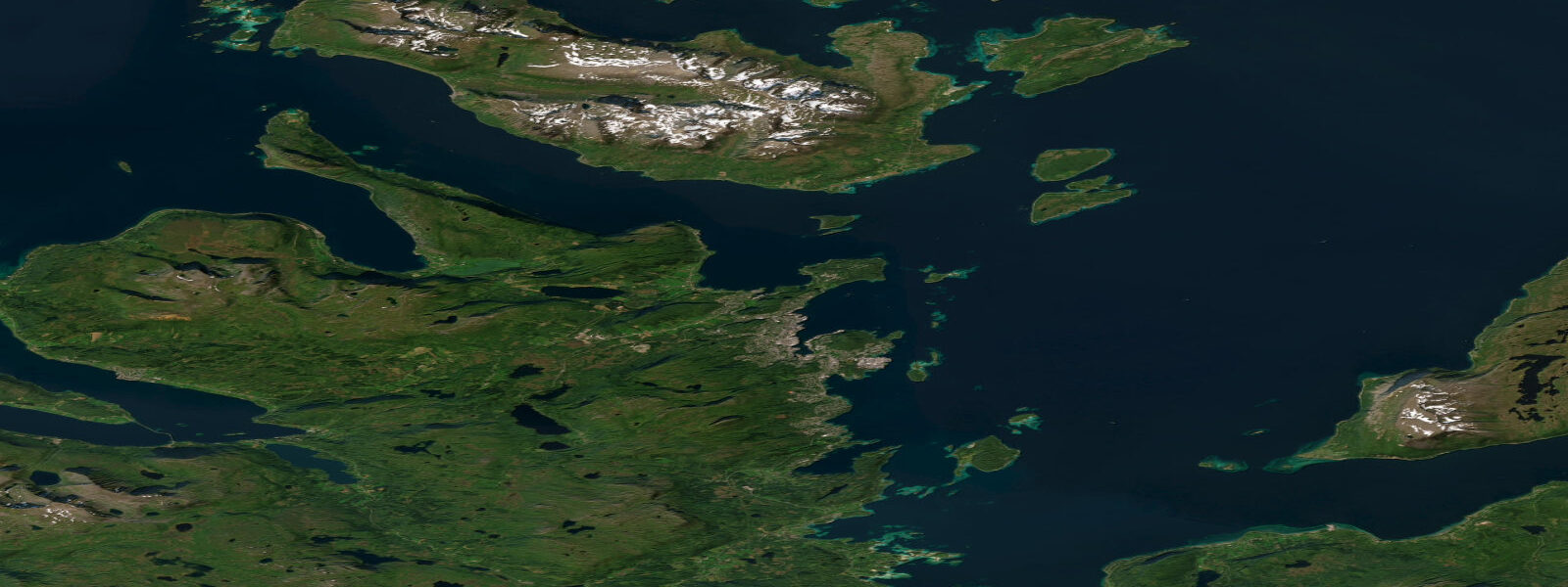
Bodø sits at the edge of the Arctic Circle on the Norwegian Sea coast of Nordland, a compact city of 52,000 that functions as the transport hub for the Lofoten Islands, the Saltfjord system, and the entire northern coast of Norway. The harbour faces west across Vestfjorden toward the Lofoten Wall — the dramatic ridge of the Lofoten archipelago that rises almost vertically from the sea 70 km to the northwest. On clear days it is visible from the harbour, which happens more often in winter than in summer.
The tidal regime at Bodø is semidiurnal with a spring range of approximately 2.5 m above Chart Datum. The standard tidal cycle runs two highs and two lows per day, with the two highs differing by 10–20 cm over the lunar cycle. Neap range narrows to around 1.0–1.2 m. Mean high water springs reaches about 1.9 m above Chart Datum; mean low water springs drops to roughly 0.4 m. The tidal curve at Bodø is close to sinusoidal — water rises and falls at a relatively even rate through the cycle, which makes mid-tide current predictions straightforward.
The single most significant tidal feature in the Bodø area is Saltstraumen, 33 km to the east along the E6 highway. Every six hours, roughly 400 million cubic metres of water is forced through a narrow channel only 150 m wide and 3 m deep connecting the outer Saltfjord to the inner Skjerstadfjord. The resulting current reaches 37 km/h — 20 knots — making it the strongest recorded tidal current in the world. Slack water at Saltstraumen lasts 15–20 minutes before the current reverses; anything in the water during peak flow is moving at serious speed. The Saltstraumen current tables are published separately from the Bodø tide tables because the times diverge — the current peak at the strait can lag the Bodø high water by 60–90 minutes depending on the lunar phase. Fishing from the bridge or the shoreline at Saltstraumen is extremely productive on the ebb as coalfish, cod, and halibut concentrate in the current to feed on baitfish forced through the narrows.
In Bodø harbour itself, the 2.5 m spring range affects small-boat operations significantly. The city marina at Nyholmen has floating pontoons that rise and fall with the tide; boats moored there need lines set with adequate scope for the full tidal range, particularly on spring tides. The ferry terminal for the Hurtigruten coastal express and for the Lofoten car-ferry services (Bodø–Moskenes, Bodø–Svolvær) is designed for the full tidal range. The car-ferry ramp adjusts automatically; the loading windows are independent of tidal state for these vessels.
For kayakers, the tidal flats at the mouth of the Skjerstad fjord system — accessible from the Bodø side of the Saltfjord — expose extensive low-water areas on spring ebbs. The Knaplund peninsula north of the city has sea-kayak routes through islets and skerries where tidal current through the gaps can run 2–3 knots on springs. Paddle these passages on the slack; fighting spring ebb through a 50 m islet gap is exhausting and inadvisable.
Midnight sun at Bodø runs from approximately June 3 to July 10. During this period, tidal windows that would otherwise fall in the middle of the night are fully usable — low-water fishing at Saltstraumen at 02:30, golden-light photography on the tidal flats at 23:00 on a summer neap. The light quality in the continuous evening/morning hours around the solstice is exceptional: flat, warm, and shadow-free across the water surface.
Anglers based in Bodø target coalfish and cod at Saltstraumen (peak windows: 1–2 hours before and after the current reversal), halibut on the sandy tidal flats of Vestfjorden (best on flood tides when flatfish move onto feeding grounds), and pollock and mackerel from the city harbour breakwater on the incoming tide in summer. The coastal boat-fishing culture around Bodø is year-round — ice does not form on the coast here due to the North Atlantic Current.
All tide predictions for Bodø come from the Open-Meteo Marine gridded model. Timing accuracy is �±45 minutes; height accuracy is ±0.3 m above Chart Datum.
Tide questions about Bodø
Quick answers to the most common questions about tide times, range, and water access at Bodø.
What is the tidal range at Bodø and how does it affect marina berthing?
Bodø has a semidiurnal spring tidal range of approximately 2.5 m above Chart Datum. Mean high water springs reaches about 1.9 m above Chart Datum; mean low water springs drops to roughly 0.4 m. The city marina at Nyholmen uses floating pontoons that accommodate the full range — boats moored there need mooring lines set with enough scope for a 2.5 m vertical shift over the tidal cycle. Spring tides in particular require checking that lines are neither so tight they go taut at low water nor so loose they allow excessive surge at high water. The Hurtigruten and Lofoten car-ferry berths are designed for the full tidal range with adjustable ramps.
When is the best time to visit Saltstraumen from Bodø, and how do tides control the current?
Saltstraumen, 33 km east of Bodø, produces its strongest current during the 60–90 minutes around peak spring ebb and flood — up to 37 km/h through the 150 m wide narrows. The published Saltstraumen current tables are the definitive source; the current peak lags Bodø high water by 60–90 minutes depending on the lunar phase and should not be read directly from the Bodø tide table. Fishing is best 1–2 hours before the current peaks, when fish are active but the current is still manageable from shore. Slack water lasts only 15–20 minutes. Visit on a spring tide (2–3 days after full or new moon) for maximum spectacle.
Does midnight sun affect tidal windows for fishing and photography around Bodø?
Midnight sun at Bodø runs from approximately June 3 to July 10. During this period, tidal windows that fall in the middle of the night are fully usable in daylight: low-water fishing at Saltstraumen at 02:30, golden-light photography on the tidal flats around 23:00 on a neap evening. The light quality in the continuous midsummer hours is flat and warm — ideal for wide-angle seascape photography across wet tidal flats. Plan fishing trips around the current tables rather than the clock during midnight sun period; the fish don't care about the time of day.
Is sea kayaking around Bodø safe, and what tidal hazards should paddlers know about?
The sea-kayak routes through the skerries north of Bodø (Knaplund peninsula area) are excellent but require real tidal planning. Spring ebb and flood through the narrow gaps between islets can run 2–3 knots — manageable for experienced kayakers who time the passages at slack water, but an exhausting and potentially dangerous slog if attempted against the flow. Saltstraumen itself is off-limits to any small vessel during active flow. Tide predictions carry ±45 minutes uncertainty; build that buffer into your passage plan and allow 20–30 minutes either side of predicted slack. The Norwegian Coastal Administration publishes local tidal current data for the Bodø area.
What fish species can be caught from shore near Bodø, and what tidal timing matters?
Coalfish (saithe), cod, and halibut are the main targets around Bodø. At Saltstraumen, coalfish and cod concentrate at the edges of the main current during the 1–2 hours before and after each current reversal — fishing during peak flow is impractical from the bridge. From the Bodø harbour breakwater, pollock and mackerel take lures and jigs on the flooding tide in summer. Halibut hold on the sandy tidal flats of Vestfjorden and move onto feeding grounds on the flood; boat trips targeting halibut depart on the start of the flood. Open-Meteo tide predictions carry ±45 minutes uncertainty — confirm the current reversal time at Saltstraumen using the dedicated current tables, not the Bodø tide table alone.
8-day tide table — Bodø
Heights relative to MSL. Predictions: Open-Meteo Marine (MeteoFrance SMOC, 0.08° grid) — heights relative to MSL (not chart datum / LAT). Model-derived.
| Day | Type | Time | Height |
|---|---|---|---|
| Sat 27 Jun | High | 02:00 | -0.2m |
| Low | 05:34 | -0.9m | |
| High | 11:06 | 0.4m | |
| Low | 17:41 | -1.1m | |
| High | 23:37 | 0.5m | |
| Sun 28 Jun | Low | 06:11 | -1.0m |
| High | 11:53 | 0.5m | |
| Low | 18:19 | -1.0m | |
| Mon 29 Jun | High | 00:15 | 0.6m |
| Low | 06:50 | -1.0m | |
| High | 12:34 | 0.5m | |
| Low | 18:52 | -1.0m | |
| Tue 30 Jun | High | 00:52 | 0.8m |
| Wed 01 Jul | Low | 08:04 | -1.3m |
| High | 13:50 | 0.4m | |
| Low | 20:00 | -1.2m | |
| Thu 02 Jul | High | 02:06 | 0.7m |
| Low | 08:40 | -1.3m | |
| High | 14:25 | 0.4m | |
| Low | 20:35 | -1.2m | |
| Fri 03 Jul | High | 02:39 | 0.7m |
| Low | 09:16 | -1.3m | |
| High | 15:02 | 0.4m | |
| Low | 21:10 | -1.2m | |
| Sat 04 Jul | High | 01:00 | 0.1m |