Harstad tide times
Harstad tide forecast — heights relative to MSL.
Today's tide times for Harstad
Tide times at Harstad on Sunday, 21 June 2026: first low tide at 02:00, first high tide at 06:07, second low tide at 12:44, second high tide at 18:58.
Tide chart for Harstad
24-hour cosine-interpolated curve around the present moment. Heights relative to MSL. Predictions: Predictions: Open-Meteo Marine (MeteoFrance SMOC, 0.08° grid).
Sun, moon and conditions on Sun 21 Jun
Snapshot at build time — refreshes daily. Sea state from Open-Meteo Marine.
Highs and lows next 7 days
Every predicted high and low for the next week, with the daily tidal coefficient (0–120; higher = bigger swing, > 95 means stronger currents).
Other spots nearby
The three closest curated TideTurtle locations to Harstad, measured by great-circle distance.
Today's solunar windows
Solunar tradition: major periods are the ≈3h windows around moon transit and opposition; minor are ≈2h around moonrise and moonset. Pair with the local tide stage and wind for the best read.
Cycle dates near Harstad
Last spring tide on Sun 21 Jun (range 1.8m). Next spring tide on Sat 27 Jun (range 1.4m). Next neap on Thu 25 Jun.
Spring tides cluster around new and full moons (biggest swings). Neap tides land on quarter moons (smallest swings). See the spring tide and neap tide glossary entries for the why.
About tides at Harstad
A short guide to the coastline at Harstad — geography, sea state, and what the tide is actually doing under your feet.
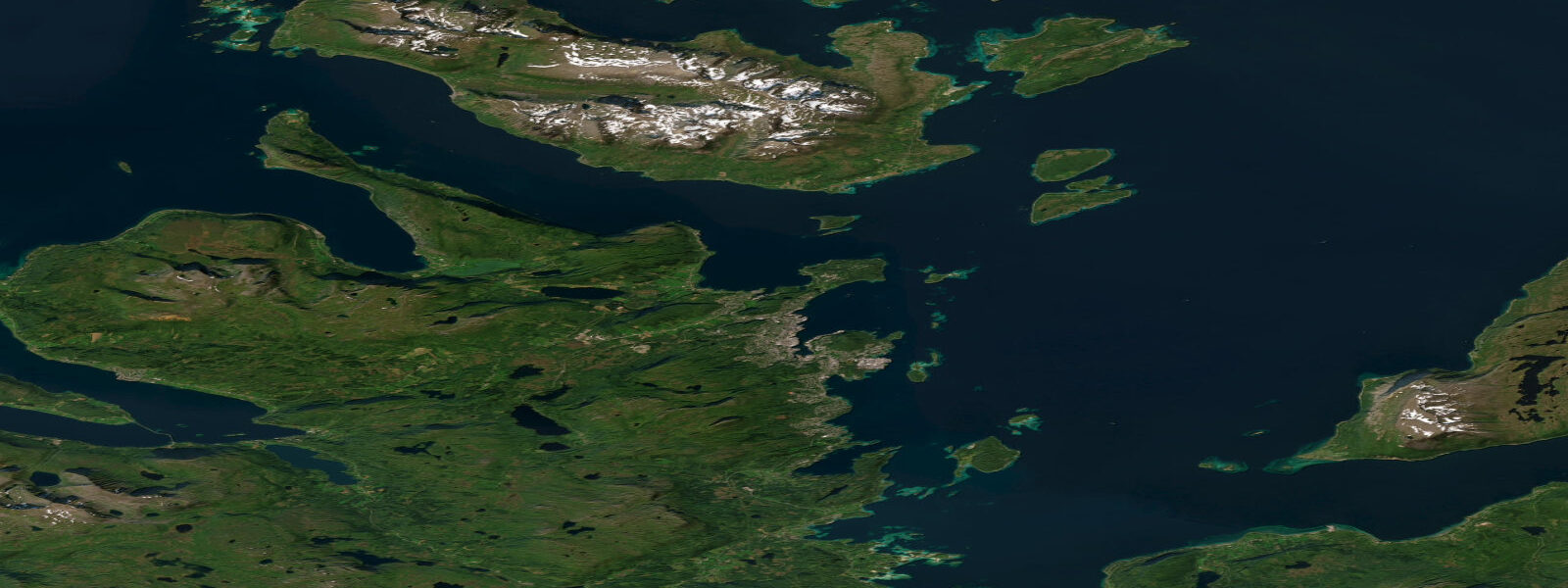
Harstad occupies the western shore of Hinnøya — the largest island in Norway and one of the largest islands in the world that is not itself a continent — at 68.8 degrees north in inner Troms. The town faces out through a network of straits toward the Vesterålen archipelago and the open Norwegian Sea beyond. Mean spring tidal range at Harstad is approximately 2.0 metres above Chart Datum, a macrotidal regime that shapes how every boat operator, fisher, and kayaker on this island coast reads the day.
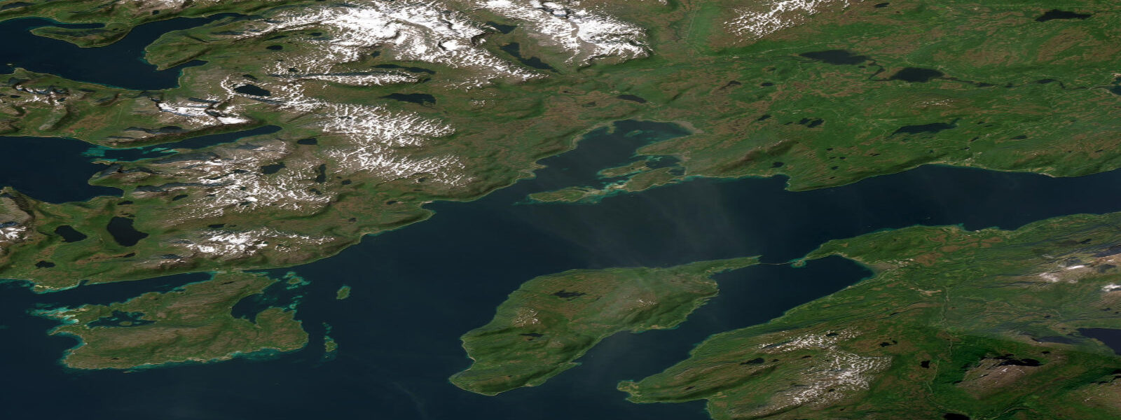
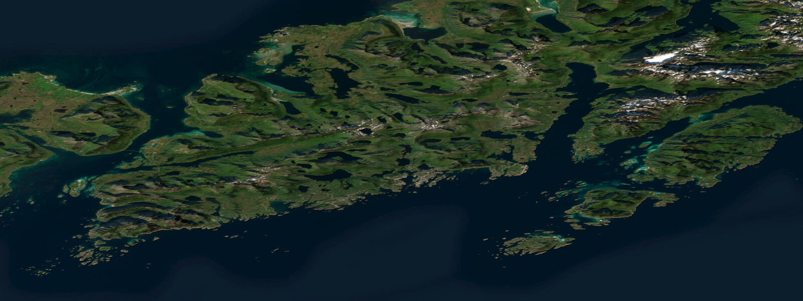
Hinnøya is the geographical fact that defines Harstad. The island is 2,204 square kilometres, its interior a complex of mountains, valleys, and a dozen small lakes. The coast is deeply indented on the east side facing the Gullesfjord and Kvæfjord systems, and more open on the western side toward the Vesterålen passages. Tidal current in the Tjeldsund strait — separating Hinnøya from the mainland to the east — runs at 0.5 to 1.5 knots on moderate tides and concentrates at the narrow southern entrance where the strait pinches between the islands. The Harstad harbour itself is sheltered by the offshore island screens, but the approaches from the north and west are open to the Norwegian Sea swell on any northwest or northerly wind.
Harstad is the practical base for the Vesterålen archipelago. Vesterålen — distinct from but adjacent to the more famous Lofoten — has its own character: broader fjords, lower mountains, less tourist density, and deep-water channels that bring sperm whales, humpback whales, and orca within practical boat range. Whale watching from Harstad operates on a tidal and weather window rather than a fixed schedule — when calm weather and wind direction allow access to the outer fjord mouths where herring aggregations occur in winter and autumn, the whales follow. The Bleik Canyon off the northwest coast of Andøya (accessible in a long day from Harstad) is one of the most reliable sperm whale sites in the North Atlantic, with depths falling from 50 metres to over 1,000 metres within a few kilometres of shore.
Recreational fishing around Hinnøya and the Vesterålen passages covers cod, halibut, saithe, and redfish. The tidal current concentrations at the straits between islands create feeding aggregations for large cod in winter and spring — some of the biggest cod catches in the world are taken in the Norwegian Arctic over this season. Jigging from small boats in 40 to 100 metres of water in the Gullesfjord and the inner Vesterålen channels produces cod to 20 kg in good years. Harstad operates the North Norway Fish Market (Harstad Fiskemarket) and is an active fishing port throughout the year.
Midnight sun at Harstad runs from approximately 25 May to 18 July — slightly shorter than Tromsø due to the fractionally lower latitude, but fully continuous sun above the horizon. Polar night runs from approximately 2 December to 10 January. The light conditions in the shoulder periods — late September with short days and intense low-angle colour, or early May when the sun is rising again over the mountains after months of low arc — are productive for photographers.
Sea eagles are as frequent here as anywhere in Arctic Norway. The inner Gullesfjord system south of Harstad has nesting pairs on the cliff faces; paddle tours from Harstad's waterfront consistently encounter birds in the lower fjord reaches. The population has recovered strongly since the 1970s ban on persecution and is now stable across Troms.
Tide predictions on this page come from Open-Meteo Marine, a global gridded ocean model — typically within plus or minus 45 minutes on timing and 0.2 to 0.3 metres on height. For authoritative Norwegian tide predictions, consult Kartverket (Norwegian Mapping Authority) at kartverket.no/sehavniva.
Tide questions about Harstad
Quick answers to the most common questions about tide times, range, and water access at Harstad.
What is the tidal range at Harstad?
Mean spring tidal range at Harstad is approximately 2.0 metres above Chart Datum. The tide is semidiurnal — two high waters and two low waters per day. This is macrotidal, larger than Tromsø and significantly larger than the fjord coasts of western Norway. Tidal current in Tjeldsund strait, east of Hinnøya, runs at 0.5 to 1.5 knots on moderate tides and concentrates at the narrow southern entrance. Kayakers and small boats planning transits of the major island straits time their passages around the tidal stream. Kartverket publishes authoritative tidal predictions for this coast at kartverket.no/sehavniva.
Can I see whales near Harstad?
Harstad is one of the most practical bases for whale watching in the Vesterålen region. Humpback whales and orca are most reliably encountered in the outer fjord mouths and the open water approaches from November through January, when large herring aggregations form and marine mammals follow. Sperm whales are present year-round off the Bleik Canyon on the northwest coast of Andøya — a day trip from Harstad by fast boat in calm conditions. Organised whale watching tours operate out of Harstad seasonally; departure windows are governed by weather and sea conditions, not fixed schedules. In summer, harbour porpoise and minke whale are regular sightings in the wider Vesterålen passages.
What fishing is available around Harstad and Hinnøya?
The waters around Hinnøya and the inner Vesterålen channels are among the most productive recreational fishing areas in Arctic Norway. Atlantic cod is the primary target — winter and spring fishing in 40 to 100 metres of water in the Gullesfjord and the island passages produces cod to 20 kg on jigs and baited rigs. Saithe and coalfish work the tidal current concentrations at island narrows throughout the year. Atlantic halibut are taken in deeper sections of the fjords and outer channels from late spring through summer on large baits. No Norwegian fishing licence is required for sea fishing from a boat in saltwater; bag limits and seasonal rules apply and are published by the Norwegian Environment Agency.
What is Hinnøya and how big is it?
Hinnøya is the largest island in Norway at approximately 2,204 square kilometres — large enough to contain mountains, valleys, lakes, and multiple distinct fjord systems. It spans two counties (Troms and Nordland) and is connected to the mainland by the Tjeldsund Bridge (1997) and the Harstad/Narvik Airport on its southern tip. Harstad, on the western coast, is the island's main urban centre. The island's inner fjord systems (Gullesfjord, Kvæfjord) are sheltered and productive; the western coast opening toward Vesterålen has more exposure to Norwegian Sea conditions.
Is this tide data suitable for planning boat trips in the Vesterålen passages?
Tide predictions on this page come from Open-Meteo Marine, a global gridded ocean model — model-derived, not from a local gauge. Accuracy is typically within plus or minus 45 minutes on timing and 0.2 to 0.3 metres on height. For general recreational planning — departure timing, foreshore access, basic passage planning in sheltered waters — this is a useful reference. For navigation in the tidal straits and island passages of the Vesterålen region, where current timing and stream rate are operationally relevant, Kartverket (Norwegian Mapping Authority) publishes authoritative tidal predictions and current tables at kartverket.no/sehavniva. This site does not provide navigational guidance; verify independently before any marine passage.
8-day tide table — Harstad
Heights relative to MSL. Predictions: Open-Meteo Marine (MeteoFrance SMOC, 0.08° grid) — heights relative to MSL (not chart datum / LAT). Model-derived.
| Day | Type | Time | Height |
|---|---|---|---|
| Sun 21 Jun | Low | 02:00 | -0.7m |
| High | 06:07 | 0.5m | |
| Low | 12:44 | -1.3m | |
| High | 18:58 | 0.3m | |
| Mon 22 Jun | Low | 01:00 | -1.0m |
| High | 07:06 | 0.4m | |
| Low | 13:33 | -1.1m | |
| High | 19:52 | 0.2m | |
| Tue 23 Jun | Low | 01:57 | -1.0m |
| High | 08:10 | 0.2m | |
| Low | 14:27 | -1.1m | |
| High | 21:00 | 0.1m | |
| Wed 24 Jun | Low | 02:52 | -0.9m |
| High | 09:18 | 0.3m | |
| Low | 15:18 | -0.9m | |
| High | 22:01 | 0.3m | |
| Thu 25 Jun | Low | 04:00 | -0.8m |
| High | 10:15 | 0.2m | |
| Low | 16:17 | -1.0m | |
| High | 22:52 | 0.2m | |
| Fri 26 Jun | Low | 04:50 | -0.9m |
| High | 11:13 | 0.1m | |
| Low | 17:07 | -1.0m | |
| High | 23:40 | 0.2m | |
| Sat 27 Jun | Low | 05:38 | -1.1m |
| High | 12:03 | 0.2m | |
| Low | 17:57 | -1.1m | |
| Sun 28 Jun | High | 00:21 | 0.3m |