Namsos tide times
Namsos tide forecast — heights relative to MSL.
Tide chart for Namsos
24-hour cosine-interpolated curve around the present moment. Heights relative to MSL. Predictions: Predictions: Open-Meteo Marine (MeteoFrance SMOC, 0.08° grid).
Sun, moon and conditions on Sun 21 Jun
Snapshot at build time — refreshes daily. Sea state from Open-Meteo Marine.
Highs and lows next 7 days
Every predicted high and low for the next week, with the daily tidal coefficient (0–120; higher = bigger swing, > 95 means stronger currents).
Other spots nearby
The three closest curated TideTurtle locations to Namsos, measured by great-circle distance.
Today's solunar windows
Solunar tradition: major periods are the ≈3h windows around moon transit and opposition; minor are ≈2h around moonrise and moonset. Pair with the local tide stage and wind for the best read.
About tides at Namsos
A short guide to the coastline at Namsos — geography, sea state, and what the tide is actually doing under your feet.
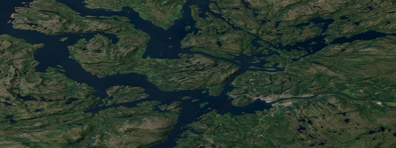
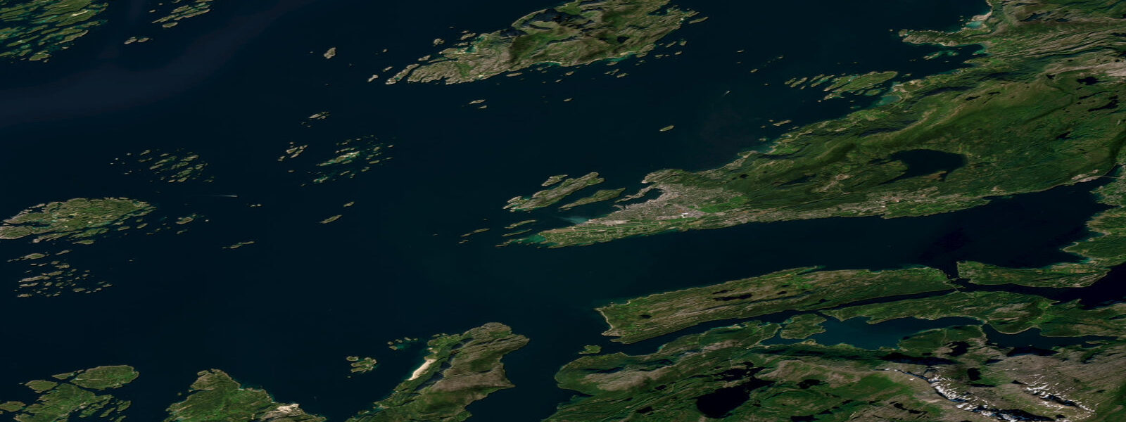
Namsos sits 30 kilometres up the Namsenfjord from the outer Namdalen coast, at the point where the Namsen River — the longest river in the Trøndelag region and one of Norway's premier salmon rivers — enters the fjord. Mean spring tidal range at Namsos is approximately 1.5 metres above Chart Datum, moderated by the fjord geometry from the open-coast range at Rørvik further north. The town occupies both sides of the lower Namsen River mouth, and the tidal backflow from the fjord on spring tides is measurable up the river's lower reaches, affecting the character of the estuary margin used by sea trout and salmon smolts on their migration seaward.
The Namsen River is the defining natural feature of Namsos' aquatic identity. At 210 kilometres from source to fjord, the Namsen drains the Namdalen valley system and enters the fjord at Namsos with a significant freshwater discharge that interacts with the tidal salt water in the lower estuary. The river holds one of Norway's top Atlantic salmon stocks — Namsen salmon licences are among the most sought-after on the Norwegian salmon fishing circuit, with major pools in the middle and upper river reaches commanding premium prices in the summer season (typically June through August). Sea trout also run the Namsen and the smaller tributary rivers entering the fjord north of Namsos.
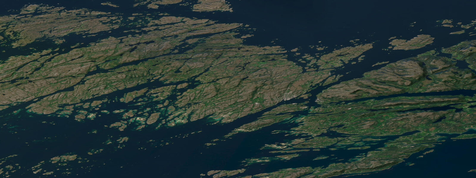
The Namsenfjord itself is a sheltered inner fjord — not as dramatic as the deep western fjords but characterised by forested hillsides, island complexes in the outer reaches, and a navigable channel accessible to sailing yachts and motor cruisers throughout its length. The fjord's geometry means conditions are almost always calmer than the outer Vikna archipelago. Sea kayaking in the inner fjord and lower Namsen estuary is a practical activity for intermediate paddlers; the tidal current in the estuary is manageable if timed, and the sheltered shoreline offers numerous landing options.
Namsos was almost completely destroyed in April 1940 during the German bombardment at the opening of the Norwegian campaign in World War II. The town was rebuilt largely in the 1940s and 1950s, which gives the centre a mid-century Scandinavian character rather than the 19th-century wooden building style preserved in places like Rørvik. The war history is documented at the Namsos War Museum; the harbour area has memorial markers to the naval and civilian losses.
Recreational fishing in the Namsenfjord covers saithe, pollock, and seasonal mackerel from small boats and kayaks. The fjord mouth area toward Otterøya island is the most productive for jigging; the outer passages between Namsos and the Vikna archipelago carry higher species density from the Norwegian Sea inputs. Shore fishing from the Namsos harbour breakwater and the foreshore downstream of the river mouth is accessible and productive for saithe through summer and autumn.
The Namdalen valley behind Namsos is elk (moose) habitat; the animals occasionally appear at the fjord shoreline in early morning. Osprey fish the lower Namsen in summer; the estuary margin is productive for wading birds in the tidal zone.
Tide predictions on this page come from Open-Meteo Marine, a global gridded ocean model — typically within plus or minus 45 minutes on timing and 0.2 to 0.3 metres on height. For authoritative Norwegian tide predictions, consult Kartverket (Norwegian Mapping Authority) at kartverket.no/sehavniva.
Tide questions about Namsos
Quick answers to the most common questions about tide times, range, and water access at Namsos.
What is the tidal range at Namsos?
Mean spring tidal range at Namsos is approximately 1.5 metres above Chart Datum — mesotidal, moderated by the Namsenfjord geometry from the slightly higher open-coast range at Rørvik. The tide is semidiurnal. In the lower Namsen River estuary, tidal backflow on spring tides is measurable up the river and influences water level at the town's waterfront. The fjord and estuary are sheltered enough that tidal current, while present, is not the primary navigation challenge it is in the outer Vikna passages. Kartverket publishes authoritative tidal predictions at kartverket.no/sehavniva.
Can I fish for salmon in the Namsen River?
The Namsen River is one of Norway's top Atlantic salmon rivers and a genuinely prestigious fishing destination. Salmon licences for the productive middle and upper river pools are in high demand and sell out quickly; premium beats book months or more in advance for the June–August season. The river also holds sea trout (sjøørret) that run from the fjord into the lower reaches earlier in the season. Day licences for some sections of the lower river are more accessible than the famous upper beats; contact the local fishing associations (Namsen Lakseelvlag) for current availability. A freshwater fishing licence is required; regulations on lure type and size limits apply.
What is there to do on the water in the Namsenfjord?
The Namsenfjord is a sheltered, accessible fjord for recreational use. Sea kayaking in the inner fjord and lower Namsen estuary is practical for intermediate paddlers — the tidal current in the estuary is manageable with timing, and the forested shoreline offers numerous landing spots. Small-boat fishing for saithe, pollock, and mackerel is productive in the outer fjord toward the Otterøya island area and the Vikna approaches. Sailing yachts and motor cruisers use the fjord as a transit and anchorage on the coastal lead route; sheltered anchorages on the inner island complexes are accessible to mid-draft boats. Boat hire is available seasonally from Namsos harbour.
What is the history of Namsos and the World War II bombing?
Namsos was bombed and largely destroyed by German aircraft on 20 April 1940 during the opening weeks of Germany's invasion of Norway. The town had been used as a landing point for Allied (British and French) forces attempting to reinforce Norwegian resistance; the harbour and town centre were targeted specifically to disrupt the Allied operation. Most of the wooden buildings were destroyed by incendiary bombs; the town was rebuilt in the late 1940s and 1950s with a more regular mid-century street plan. The Namsos War Museum (Krigsmuseet) documents the 1940 campaign and its impact on the town. The Allied withdrawal from Namsos in early May 1940 was one of the significant early defeats of the Norwegian campaign.
Is this tide data suitable for planning kayak trips in the Namsenfjord?
Tide predictions on this page come from Open-Meteo Marine, a global gridded ocean model — model-derived, not from a local gauge. Accuracy is typically within plus or minus 45 minutes on timing and 0.2 to 0.3 metres on height. For planning kayak trips in the sheltered Namsenfjord, where tidal current is modest and conditions are generally forgiving, this provides a useful orientation reference. For tidal current timing in the outer Namdalen passages toward the Vikna archipelago, where conditions are more exposed and current more significant, Kartverket (Norwegian Mapping Authority) publishes authoritative predictions at kartverket.no/sehavniva. This site does not provide navigational guidance; users are responsible for independent verification before any marine passage.
0-day tide table — Namsos
Heights relative to MSL. Predictions: Open-Meteo Marine (MeteoFrance SMOC, 0.08° grid) — heights relative to MSL (not chart datum / LAT). Model-derived.
| Day | Type | Time | Height |
|---|