Lekki tide times
Lekki tide forecast — heights relative to MSL.
Today's tide times for Lekki
Tide times at Lekki on Friday, 3 July 2026: first low tide at 01:00am, first high tide at 06:34am, second low tide at 12:11pm, second high tide at 06:02pm. Sunrise 06:35am, sunset 07:04pm.
Tide chart for Lekki
24-hour cosine-interpolated curve around the present moment. Heights relative to MSL. Predictions: Predictions: Open-Meteo Marine (MeteoFrance SMOC, 0.08° grid).
Sun, moon and conditions on Fri 03 Jul
Snapshot at build time — refreshes daily. Sea state from Open-Meteo Marine.
Highs and lows next 7 days
Every predicted high and low for the next week, with the daily tidal coefficient (0–120; higher = bigger swing, > 95 means stronger currents).
Other spots nearby
The three closest curated TideTurtle locations to Lekki, measured by great-circle distance.
Today's solunar windows
Solunar tradition: major periods are the ≈3h windows around moon transit and opposition; minor are ≈2h around moonrise and moonset. Pair with the local tide stage and wind for the best read.
Cycle dates near Lekki
Last spring tide on Fri 03 Jul (range 1.3m). Next neap on Sat 04 Jul.
Spring tides cluster around new and full moons (biggest swings). Neap tides land on quarter moons (smallest swings). See the spring tide and neap tide glossary entries for the why.
About tides at Lekki
A short guide to the coastline at Lekki — geography, sea state, and what the tide is actually doing under your feet.
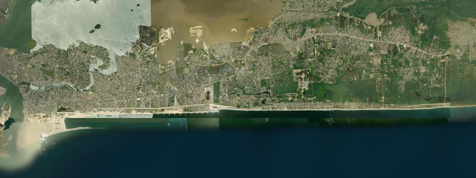
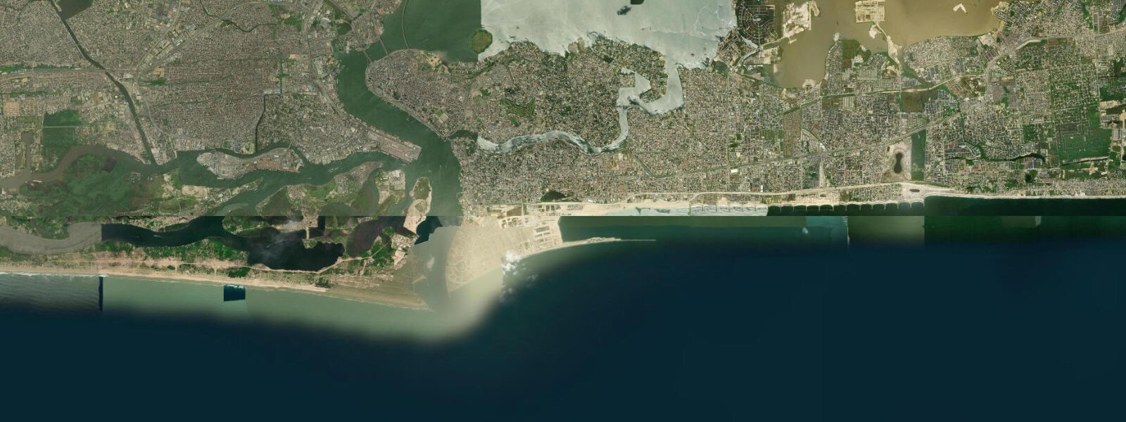
Lekki Peninsula is the narrow barrier island extending east from Victoria Island, with the Atlantic Ocean on its southern face and the Lagos Lagoon on its northern shore. The peninsula is 15 to 20 kilometres long and rarely more than a kilometre wide, and its twin shores — ocean and lagoon — behave entirely differently. The Atlantic side takes the full fetch of the South Atlantic; the lagoon side is sheltered, tidal, and lined with mangrove creeks at its eastern end.
The Atlantic tidal range here is the same as Bar Beach to the west — spring ranges of approximately 1.0 to 1.5 metres, with the South Atlantic swell dominating the beach character rather than the tide. The lagoon side, however, shows a different tidal signature: the Lagos Lagoon is a large water body with restricted connections to the sea through Lagos Harbour and the eastern creek systems, and the tidal exchange through the lagoon is dampened and delayed relative to the open ocean. The lagoon-side tidal range at Lekki is approximately 0.4 to 0.7 metres — noticeably less than the ocean face. The tidal creeks that extend from the eastern lagoon side are the productive habitat: mangrove-fringed, fed by the exchange through the lagoon, and supporting a fish community that includes bonefish, snapper, and various estuarine species.
The beach clubs on the Lekki Atlantic coast — Elegushi Beach, Atican Beach, Alpha Beach — are private-access establishments that operate a gate-and-fee model, providing infrastructure (chairs, food, security) on the beach front. They cater primarily to the Lagos professional and upper-middle-class market and are busiest on Saturday mornings and evenings. The beaches themselves are continuous with the open Atlantic coast; the club infrastructure is the difference, not the beach character. The South Atlantic swell reaches all of them equally.
Elegushi Beach, one of the larger operators, is the most established — it has operated for several decades and the beach in front of it is wide and well-kept. The swell here is consistent and the beach face is steep, which concentrates the shore break energy. The tidal timing matters for beach access: at high spring water the beach narrows significantly and beach furniture is moved back; at low water the full sand flat is available.
The Lekki Free Trade Zone occupies the eastern end of the peninsula — a large-scale industrial and logistics development with port infrastructure under construction. The development brings road improvements to the eastern peninsula but changes the character of the area; the mangrove creek habitats adjacent to the FTZ access road are under pressure.
For paddlers, the lagoon-side creeks at the mid-section of the peninsula offer mangrove kayaking in calmer water than the Atlantic face. Access points exist where the peninsula road passes close to the lagoon shore — stand-up paddleboard and kayak hire has emerged at several points along the interior road. The tidal timing on the lagoon side matters: entering the mangrove creeks on the flood, when the channels are filling, is easier than fighting a draining creek on the ebb.
The peninsula road (Lekki-Epe Expressway) runs the full length; traffic on this road on weekend mornings is heavy and the drive from Victoria Island can take 45 minutes to cover 10 kilometres. Plan beach club visits to arrive before 09:00 or after 16:00 to avoid the worst of it.
The Lekki Conservation Centre, about 19 kilometres along the Lekki-Epe Expressway from Victoria Island, is worth including in a Lekki visit. The 78-hectare reserve is a managed fragment of the original barrier island habitat — mangrove, swamp forest, and canopy — with a 401-metre canopy walkway. It is not a coastal tide site, but the reserve illustrates what the Lekki Peninsula's natural vegetation looked like before the development wave. The birdlist includes African fish eagle, pied kingfisher, various sunbirds and weavers. Visiting early morning on a weekday avoids the school-group crowds that arrive midday on weekends.
Predictions on this page come from Open-Meteo Marine, a gridded global ocean model. Accuracy is typically within plus or minus 45 minutes on timing and 0.2 to 0.3 metres on height — model-derived, not from a local gauge. The authoritative source for marine data in Nigeria is the Nigerian Ports Authority (NPA) and the Nigerian Meteorological Agency (NIMET).
Tide questions about Lekki
Quick answers to the most common questions about tide times, range, and water access at Lekki.
What is the difference between the ocean side and lagoon side of Lekki?
The Atlantic Ocean face of Lekki takes the full South Atlantic swell — 1.0 to 2.0 metres year-round, stronger July through September — with a spring tidal range of about 1.0 to 1.5 metres. The beach is exposed, energetic, and backed by the private beach clubs. The Lagos Lagoon side is sheltered: the tidal range is dampened to roughly 0.4 to 0.7 metres and there is no swell. The lagoon shore at the eastern end of the peninsula is mangrove-fringed and tidal-creek rich — a different ecological character entirely. Paddlers and anglers targeting estuarine species work the lagoon side; beach club visitors and surf watchers use the Atlantic side.
What are the main beach clubs at Lekki and do they charge entry?
Elegushi Beach, Atican Beach, and Alpha Beach are the main private beach club operators on the Lekki Atlantic coast. All operate a gate-and-fee entry model — entry charges apply and vary by day of the week (weekend rates are typically higher). The fees cover access to beach infrastructure: chairs, food and drink services, and security on the beach front. The beach itself is continuous public coastline; the clubs provide the managed-access layer on top. Elegushi is among the longest-established and has the widest beach front. Arrive early on weekend mornings to secure beach furniture before the main crowd arrives.
Can I kayak or paddleboard in the Lekki lagoon creeks?
Yes. The lagoon-side creeks at the mid-section of the Lekki Peninsula offer mangrove kayaking in sheltered water. Access points exist where the Lekki-Epe Expressway passes close to the lagoon shore. Stand-up paddleboard and kayak hire has emerged at several informal hire points along the interior road. The lagoon tidal range is approximately 0.4 to 0.7 metres — enough to drain the shallower creek branches on the ebb, so entering on the flood tide is advisable. Once inside the mangrove channels the paddling is calm regardless of conditions on the Atlantic face of the peninsula.
What fish species can be found in the Lekki lagoon creeks?
The tidal mangrove creeks on the lagoon side of Lekki support estuarine species including bonefish, various snappers, grey mullet, and Nile tilapia in the brackish upper reaches. The tidal exchange through the lagoon brings marine species into the creeks on the flood tide; fishing the incoming tide in the creek mouths is the standard local approach. Barracuda are present in the larger channels. The tidal creek at the eastern end of the peninsula, near the mangrove-forest section, is the most productive area. Local boat fishermen work the lagoon most days; canoe fishing from the lagoon-side access points is informal and straightforward.
When is the Lekki-Epe Expressway least congested?
The Lekki-Epe Expressway runs the length of the peninsula and is one of Lagos's most congested corridors on weekend mornings and Friday evenings. The worst congestion runs from approximately 08:00 to 12:00 on Saturdays and Sundays, when beach club visitors and market traffic combine. Arriving before 08:00 or after 16:00 avoids the worst. Weekday mornings before 07:00 are the least congested. From Victoria Island to the mid-Lekki beach club area (approximately 10 km), journey times range from 15 minutes at off-peak to 60 to 90 minutes in heavy traffic.
8-day tide table — Lekki
Heights relative to MSL. Predictions: Open-Meteo Marine (MeteoFrance SMOC, 0.08° grid) — heights relative to MSL (not chart datum / LAT). Model-derived.
| Day | Type | Time | Height |
|---|---|---|---|
| Fri 03 Jul | Low | 01:00 | -0.6m |
| High | 06:34 | 0.6m | |
| Low | 12:11 | -0.3m | |
| High | 18:02 | 0.6m | |
| Sat 04 Jul | Low | 00:33 | -0.7m |
| High | 07:05 | 0.5m | |
| Low | 12:51 | -0.4m | |
| High | 18:40 | 0.5m | |
| Sun 05 Jul | Low | 01:06 | -0.7m |
| High | 07:48 | 0.6m | |
| Mon 06 Jul | Low | 01:46 | -0.6m |
| Tue 07 Jul | High | 09:10 | 0.6m |
| Wed 08 Jul | Low | 03:23 | -0.4m |
| High | 10:05 | 0.6m | |
| Low | 16:43 | -0.4m | |
| Thu 09 Jul | High | 11:08 | 0.6m |
| Low | 17:54 | -0.4m | |
| Fri 10 Jul | High | 00:00 | 0.3m |