Badagry tide times
Badagry tide forecast — heights relative to MSL.
Today's tide times for Badagry
Tide times at Badagry on Friday, 3 July 2026: first low tide at 01:00am, first high tide at 06:02pm. Sunrise 06:37am, sunset 07:07pm.
Tide chart for Badagry
24-hour cosine-interpolated curve around the present moment. Heights relative to MSL. Predictions: Predictions: Open-Meteo Marine (MeteoFrance SMOC, 0.08° grid).
Sun, moon and conditions on Fri 03 Jul
Snapshot at build time — refreshes daily. Sea state from Open-Meteo Marine.
Highs and lows next 7 days
Every predicted high and low for the next week, with the daily tidal coefficient (0–120; higher = bigger swing, > 95 means stronger currents).
Other spots nearby
The three closest curated TideTurtle locations to Badagry, measured by great-circle distance.
Today's solunar windows
Solunar tradition: major periods are the ≈3h windows around moon transit and opposition; minor are ≈2h around moonrise and moonset. Pair with the local tide stage and wind for the best read.
Cycle dates near Badagry
Last spring tide on Fri 03 Jul (range 1.3m). Next neap on Sat 04 Jul.
Spring tides cluster around new and full moons (biggest swings). Neap tides land on quarter moons (smallest swings). See the spring tide and neap tide glossary entries for the why.
About tides at Badagry
A short guide to the coastline at Badagry — geography, sea state, and what the tide is actually doing under your feet.
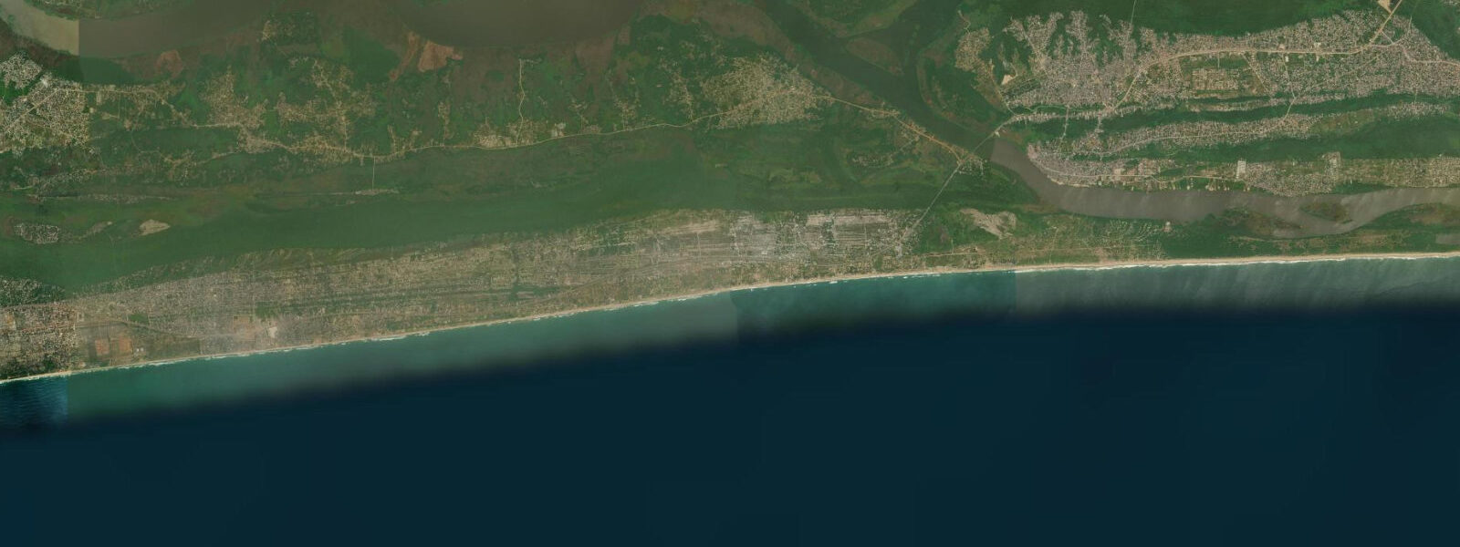
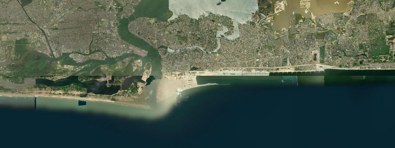
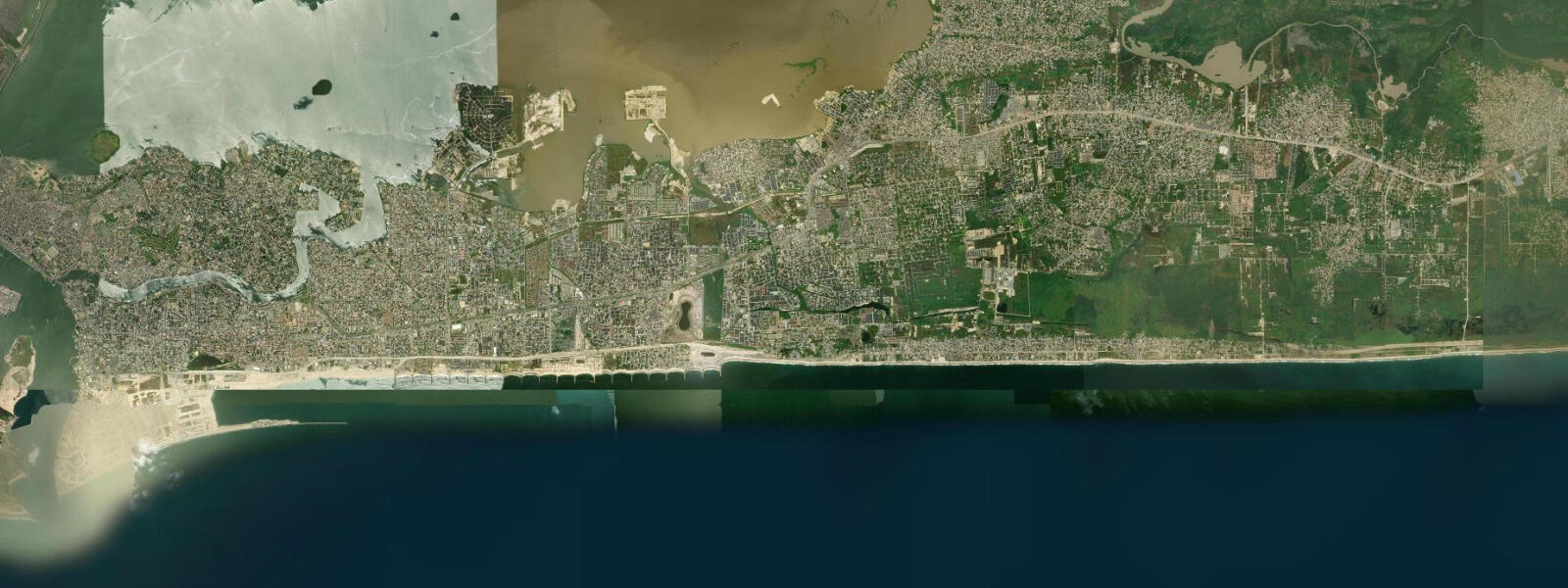
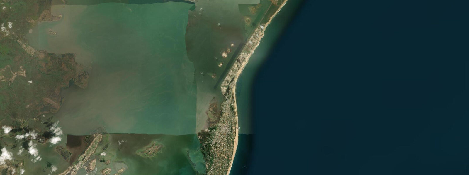
Badagry is a small coastal town on the western edge of Lagos State, close to the Benin Republic border, approximately 60 kilometres west of central Lagos. It sits on the northern shore of Badagry Creek — a sheltered, tidal waterway that connects east to the Lagos Lagoon system and west toward the Benin coast. The town's geography is the creek and the ocean beach to the south, separated by a narrow strip of sand and palm trees.
The creek tidal regime reflects the dampened, lagged exchange characteristic of the Lagos Lagoon system — spring range on the creek is approximately 0.5 to 0.8 metres, less than the open Atlantic coast. The Atlantic beach on the southern side of the Badagry sand spit has a spring range of approximately 1.0 to 1.5 metres with persistent South Atlantic swell. The creek is the calmer, more navigable water; the ocean beach is exposed and energetic.
Badagry's historical significance is its role in the transatlantic slave trade. The town was one of the principal embarkation points on the West African coast for enslaved people transported to the Americas and Caribbean from the 16th through the 19th centuries. The Heritage Museum at Badagry houses artefacts, records, and exhibits documenting this history: chains, manacles, documentation of the trade routes, and records of the numbers transported. The museum is modest in scale but the material is confronting and the local guides provide context that the exhibits alone do not.
The slave route to the coast — a path through the town known as Gberefu — ends at the beach. The Point of No Return is the name given to the embarkation point on the Atlantic beach where enslaved people were loaded onto vessels for the Atlantic crossing. A memorial marks the location. The beach here is isolated — no beach clubs, no commerce — just the Atlantic surf and the memorial. The tidal and wave conditions are the same as the broader Lagos coast: 1.0 to 2.0 metre swell, 1.0 to 1.5 metre spring tidal range. Visiting in the early morning, before the day's heat builds, allows time at the Heritage Museum and the walk to the Point of No Return in a single session.
The Brazilian Baracoon (Seriki Abass Compound) dates from 1845. It is the restored compound of a Yoruba-Brazilian slaveholder and trader; the Aguda (Brazilian-returnee) community in Badagry descends from freed and returned enslaved people who came back from Brazil after emancipation and built homes in the Brazilian architectural style visible throughout the compound. The building is among the oldest surviving in Lagos State.
Badagry Creek itself is navigable by small motorboat. The creek connects to the broader Lagos Lagoon system and boat trips on the creek pass through mangrove sections, small fishing settlements, and the historical heritage sites accessible only from the water. The coconut palms lining the creek banks on both sides are the visual cue the town is known for — the combination of still tidal water, palm canopy, and the heritage buildings along the Badagry waterfront is the image most associated with the town.
For anglers, the creek fishing is productive in the early morning — grey mullet, snapper, and catfish are common catches from boats and from the creek bank. The outgoing tide concentrates fish against the bridge pilings and jetty structures. From the Atlantic beach, surf casting produces the same species as Bar Beach and Lekki: threadfin, barracuda, and snapper.
The Badagry Heritage Museum and the slave route sites collectively take two to three hours on a guided visit. Independent navigation is possible but a local guide adds the oral history context that the physical exhibits do not carry — particularly around the social structure of the trade, the role of local intermediaries, and the aftermath of the abolition period. Several agencies in Lagos offer day trips combining the museum, the Gberefu slave route, the Brazilian Baracoon, and the Point of No Return beach. Departing from Lagos before 07:00 avoids the peak Badagry Expressway traffic and allows a comfortable morning at the sites before the midday heat.
Predictions on this page come from Open-Meteo Marine, a gridded global ocean model. Accuracy is typically within plus or minus 45 minutes on timing and 0.2 to 0.3 metres on height — model-derived, not from a local gauge. The authoritative source for marine data in Nigeria is the Nigerian Ports Authority (NPA) and the Nigerian Meteorological Agency (NIMET).
Tide questions about Badagry
Quick answers to the most common questions about tide times, range, and water access at Badagry.
What is the Point of No Return at Badagry?
The Point of No Return is the name given to the embarkation point on the Badagry Atlantic beach from which enslaved people were loaded onto vessels for the transatlantic crossing. It is marked by a memorial at the beach. The slave route through the town — called Gberefu — leads from the inland holding areas through Badagry to this beach point. It is the endpoint of the heritage route that begins at the Heritage Museum and passes the Brazilian Baracoon compound. The beach itself is isolated with no commercial activity — Atlantic surf and the memorial. Most visitors cover the museum, Gberefu route, and Point of No Return in a half-day guided walk.
What is the Brazilian Baracoon at Badagry?
The Brazilian Baracoon (formally the Seriki Abass Compound) is a restored compound dating from 1845, built by a Yoruba-Brazilian slaveholder and trader. It is one of the oldest surviving buildings in Lagos State. The Aguda community — returnees from Brazil who came back after emancipation — built homes in Badagry in the Brazilian architectural style visible throughout the compound's structure. The compound is a tangible link between the slave trade era and the post-emancipation return migration. It is accessible as part of the Badagry heritage route alongside the Heritage Museum and Point of No Return.
What is the tidal regime at Badagry Creek?
Badagry Creek is connected to the Lagos Lagoon system and the tidal signal within the creek is dampened relative to the open Atlantic coast. Spring tidal range on the creek is approximately 0.5 to 0.8 metres. The tidal exchange is lagged — high water on the creek occurs later than on the Atlantic beach on the south side of the Badagry sand spit. The creek is calmer and more navigable than the ocean face in all conditions. The Atlantic beach to the south of the town has a spring range of 1.0 to 1.5 metres with consistent South Atlantic swell.
How do I get to Badagry from Lagos?
Badagry is approximately 60 kilometres west of central Lagos by road via the Lagos-Badagry Expressway. Drive time is 1.5 to 2.5 hours depending on traffic — the Badagry Expressway is one of Lagos's major corridors and congestion in the Lagos Mainland section is persistent. Departure before 07:00 avoids the worst of it. Shared minibuses (danfo) run from Mile 2 Bus Stop in Lagos to Badagry. The heritage sites are within walking distance of the Badagry town waterfront once you arrive. No direct ferry service exists from Lagos Island.
What wildlife and nature can I see around Badagry Creek?
Badagry Creek passes through mangrove sections that support wading birds — grey heron, various egrets, and kingfisher are year-round residents. The creek fish community includes grey mullet, snapper, and various estuarine species; fishing from boats and the creek bank is productive on the outgoing tide. The coconut palm-lined banks and the tidal creek system are the dominant natural feature. West African manatee are present in the broader Lagos Lagoon system, though sightings near Badagry itself are uncommon. The creek boat trip from the Badagry waterfront is the best way to access the mangrove sections.
8-day tide table — Badagry
Heights relative to MSL. Predictions: Open-Meteo Marine (MeteoFrance SMOC, 0.08° grid) — heights relative to MSL (not chart datum / LAT). Model-derived.
| Day | Type | Time | Height |
|---|---|---|---|
| Fri 03 Jul | Low | 01:00 | -0.6m |
| High | 18:02 | 0.6m | |
| Sat 04 Jul | Low | 00:34 | -0.7m |
| High | 07:06 | 0.5m | |
| Low | 12:51 | -0.4m | |
| High | 18:40 | 0.5m | |
| Sun 05 Jul | Low | 01:06 | -0.7m |
| High | 07:45 | 0.6m | |
| Mon 06 Jul | Low | 01:47 | -0.6m |
| Tue 07 Jul | High | 09:13 | 0.6m |
| Low | 15:36 | -0.4m | |
| High | 21:23 | 0.3m | |
| Wed 08 Jul | Low | 03:19 | -0.4m |
| High | 10:05 | 0.6m | |
| Low | 16:43 | -0.4m | |
| High | 22:36 | 0.3m | |
| Thu 09 Jul | Low | 04:24 | -0.4m |
| High | 11:05 | 0.6m | |
| Low | 17:55 | -0.5m | |
| Fri 10 Jul | High | 00:00 | 0.3m |