Keta tide times
Keta tide forecast — heights relative to MSL.
Today's tide times for Keta
Tide times at Keta on Saturday, 4 July 2026: first low tide at 12:00am, first high tide at 06:10am, second low tide at 11:55am, second high tide at 05:40pm. Sunrise 05:46am, sunset 06:14pm.
Tide chart for Keta
24-hour cosine-interpolated curve around the present moment. Heights relative to MSL. Predictions: Predictions: Open-Meteo Marine (MeteoFrance SMOC, 0.08° grid).
Sun, moon and conditions on Sat 04 Jul
Snapshot at build time — refreshes daily. Sea state from Open-Meteo Marine.
Highs and lows next 7 days
Every predicted high and low for the next week, with the daily tidal coefficient (0–120; higher = bigger swing, > 95 means stronger currents).
Other spots nearby
The three closest curated TideTurtle locations to Keta, measured by great-circle distance.
Today's solunar windows
Solunar tradition: major periods are the ≈3h windows around moon transit and opposition; minor are ≈2h around moonrise and moonset. Pair with the local tide stage and wind for the best read.
Cycle dates near Keta
Last spring tide on Sat 04 Jul (range 1.2m). Next spring tide on Fri 10 Jul (range 1.2m). Next neap on Tue 07 Jul.
Spring tides cluster around new and full moons (biggest swings). Neap tides land on quarter moons (smallest swings). See the spring tide and neap tide glossary entries for the why.
About tides at Keta
A short guide to the coastline at Keta — geography, sea state, and what the tide is actually doing under your feet.
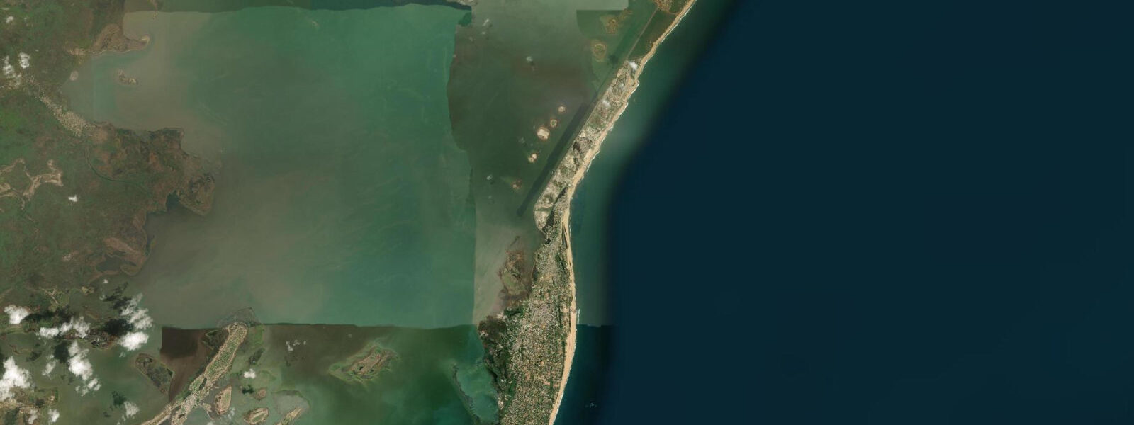
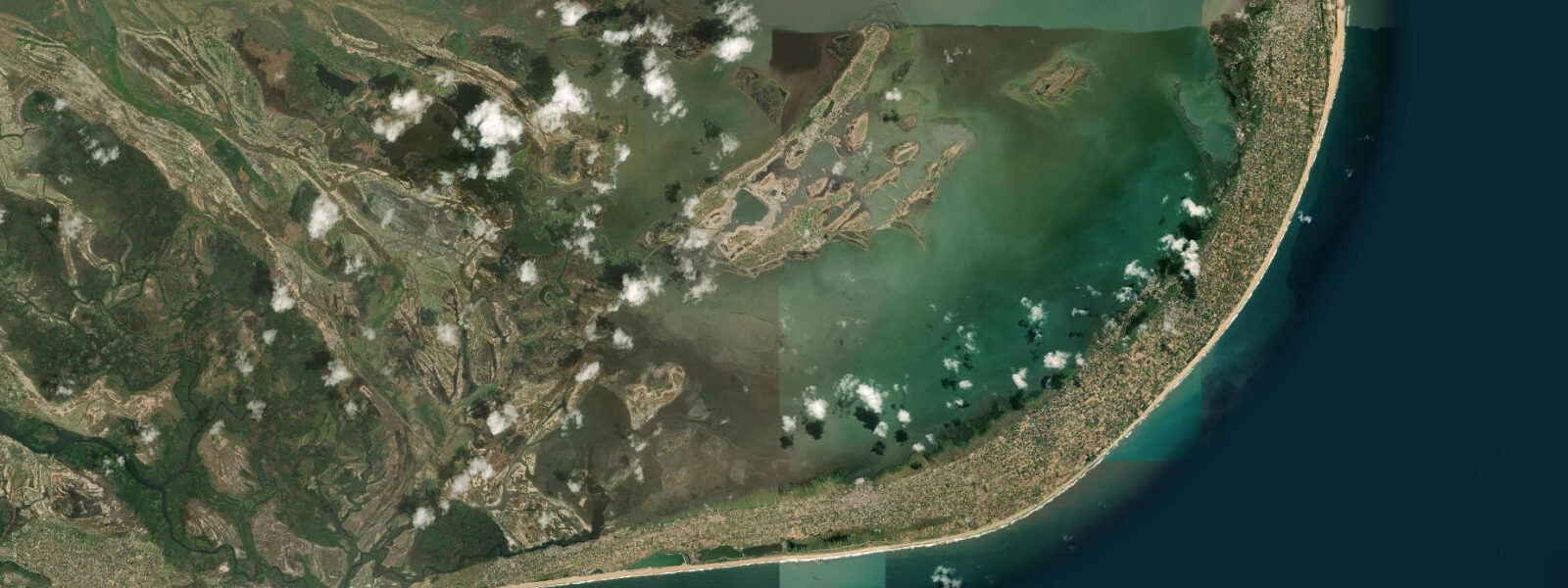
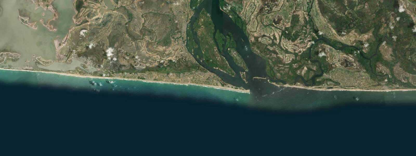
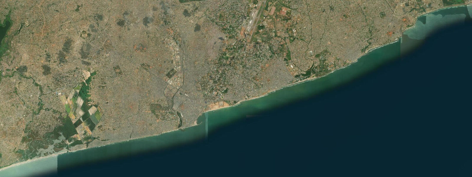
Keta occupies one of the most precarious positions of any town on the West African coast: a narrow barrier spit, in places less than 200 metres wide, with the full force of the Gulf of Guinea beating against one side and the broad, still surface of Keta Lagoon on the other. The barrier is eroding. Colonial-era buildings that stood on the beach 50 years ago now stand in the surf zone or are entirely gone.
The ruins of Fort Prinzenstein, the 18th-century Danish slave fort, are the most photographed evidence of this retreat — the seaward wall is gone, and what remains stands directly at the tide line, the Atlantic washing around its foundations on a moderate swell day. The erosion is a product of both the natural energy of the Gulf of Guinea coast and the disruption to longshore sediment transport caused by the Akosombo Dam upstream on the Volta, which reduced the sand supply to the eastern Ghana coast after its construction in the 1960s. None of which makes Keta a bad place to visit.
It makes it one of the most visually dramatic coastal towns in West Africa: the contrast between the churning ocean on the south side of the spit and the flat, bird-filled lagoon on the north side, separated by a strip of sand you can bicycle across in two minutes, is unlike anything else on this coast. Standing on the beach and looking south at waves that have crossed the entire South Atlantic, then turning around to look north at a 350-square-kilometre lagoon covered with egrets — the juxtaposition works. Keta Lagoon is a Ramsar Wetland of International Importance.
It is the largest coastal lagoon in Ghana and one of the largest in West Africa. The ecology varies from the Atlantic-influenced inlet zone, which is regularly flushed and saline, to the shallow freshwater sections in the north and west, where water hyacinth and reed beds dominate and the bird community shifts from terns and waders to kingfishers, herons, and jacanas. In the dry season from December through March, when water levels drop and salinity increases, the exposed mudflats around the lagoon margins attract concentrations of Palearctic migratory waders — whimbrel, little stint, common sandpiper — alongside resident species including African jacana, long-tailed cormorant, and Kittlitz's plover.
African fish eagle pairs call from the mangrove sections on the eastern margins; a reliable pair has held territory east of the Keta township for years. The tidal signal at Keta is small — one of the lowest tidal ranges in West Africa. 3 metres.
At the beach, wave setup from the persistent southwest swell dominates water level changes far more than the astronomical tide. During the southwest monsoon season (May–September), wind tides and storm surge can raise the water level on the beach by more than the astronomical tidal range in a single event — this is when the erosion damage to the barrier is worst. The lagoon level responds to different drivers: it rises at the end of the rainy season in October and November when the Volta catchment drains south, and drops to its lowest and most saline in February and March.
3 m accuracy — the astronomical prediction is small enough at Keta that the wave-driven setup is the dominant source of uncertainty. Canoe trips on the lagoon are arranged through local operators at the Keta waterfront; two to three hours in the early morning or late afternoon is the standard excursion. From Accra, the route is east via Tema and the coastal road — roughly 180 km, about three hours.
Ada Foah, where the Volta meets the ocean, is 60 km west and makes a logical combining stop on a single eastern coast trip.
Tide questions about Keta
Quick answers to the most common questions about tide times, range, and water access at Keta.
Is Keta Beach safe for swimming?
No, it is not. The Gulf of Guinea coast at Keta has one of the most powerful and unpredictable shore breaks in West Africa. Swell arrives with little prior dissipation, the beach shelves steeply in places, and the longshore current runs strongly along the barrier. The visible ruins of historic buildings standing in the surf zone are a stark reminder of how energy this coast carries. There are no lifeguards, no protected bays, and no reef to reduce the wave energy. For swimming in the Keta area, the lagoon side is vastly safer — particularly in calm weather when the lagoon surface is flat, small bays in the reed beds offer safe spots for those with local knowledge. Don't swim on the ocean side.
What is Keta Lagoon and why is it significant?
Keta Lagoon is one of the largest coastal lagoons in West Africa — covering roughly 350 square kilometres — and is listed as a Ramsar Wetland of International Importance. It sits behind the narrow coastal barrier spit on which Keta town stands, connected to the Gulf of Guinea through a restricted inlet that limits tidal flushing and creates a brackish environment that varies seasonally with rainfall. The ecological significance lies in the combination of saltmarsh, mudflat, open water, and reed beds that support migratory and resident waterbirds in large numbers, as well as West African manatees and the largest tilapia fishery in Ghana. The surrounding communities have fished the lagoon for centuries using traditional methods — basket traps, seine nets, and cast nets worked from dugout canoes.
What wildlife can I see at Keta Lagoon?
The dry season (December–March) brings the largest concentrations of wading birds to the exposed mudflats: grey plover, common sandpiper, little stint, whimbrel, and the resident Kittlitz's and kentish plovers. African fish eagle calls carry across the open water year-round — there's a reliable pair in the mangrove section east of town. Black-headed and grey-headed gulls roost on the sandbanks near the inlet. West African manatees are present in the deeper lagoon channels but rarely visible without a patient canoe search in the early morning. The lagoon fishery is spectacular: early morning and late afternoon, the canoe fleet is out in force, hundreds of small boats working the shallows, and the activity around the fish landing quays is some of the most photogenic on the Ghanaian coast.
How do I arrange a canoe trip on Keta Lagoon?
Canoe trips can be arranged informally through the fishing community at the Keta waterfront — many boat owners supplement fishing income with tourism during the dry season. The standard arrangement is to negotiate a fee directly with the canoe owner for a two- to three-hour morning or late afternoon excursion into the lagoon channels. Bring a guide if possible: the better operators know which sections of the lagoon hold manatees and where the bird concentrations are at different tide stages. Keta has a small but functional guesthouse sector; tour operators in Accra (particularly those focusing on eco-tourism and birding) also arrange day trips from the capital as part of eastern Ghana itineraries.
How do tides affect the lagoon and the Atlantic beach at Keta?
The Atlantic beach at Keta has a very small astronomical tidal range — spring tides only 0.6–0.9 metres, neap tides sometimes less than 0.3 metres. In practice, wave setup from the persistent southwest swell dominates the water level on the beach side, making the astronomic tide less relevant than the wave energy on any given day. The lagoon responds differently: tidal exchange through the inlet is restricted, so lagoon levels are primarily driven by seasonal rainfall and the Volta River's freshwater input rather than by daily tidal cycles. The highest lagoon levels occur at the end of the rainy season in October–November; the lowest (and most concentrated salinity) in February–March. For canoe trips, dead calm mornings — which occur most reliably in the dry season — are the most productive for wildlife.
7-day tide table — Keta
Heights relative to MSL. Predictions: Open-Meteo Marine (MeteoFrance SMOC, 0.08° grid) — heights relative to MSL (not chart datum / LAT). Model-derived.
| Day | Type | Time | Height |
|---|---|---|---|
| Sat 04 Jul | Low | 00:00 | -0.7m |
| High | 06:10 | 0.5m | |
| Low | 11:55 | -0.3m | |
| High | 17:40 | 0.5m | |
| Sun 05 Jul | Low | 00:06 | -0.7m |
| High | 06:48 | 0.5m | |
| Mon 06 Jul | Low | 00:48 | -0.6m |
| High | 07:25 | 0.5m | |
| Low | 13:36 | -0.4m | |
| Tue 07 Jul | High | 08:15 | 0.5m |
| Low | 14:37 | -0.4m | |
| High | 20:23 | 0.2m | |
| Wed 08 Jul | Low | 02:23 | -0.5m |
| High | 09:12 | 0.5m | |
| Low | 15:48 | -0.4m | |
| Thu 09 Jul | High | 10:08 | 0.5m |
| Low | 16:57 | -0.5m | |
| High | 23:00 | 0.2m | |
| Fri 10 Jul | Low | 04:42 | -0.4m |
| High | 11:10 | 0.5m | |
| Low | 18:02 | -0.6m | |
| High | 23:00 | 0.1m |