Bar Beach tide times
Bar Beach tide forecast — heights relative to MSL.
Today's tide times for Bar Beach
Tide times at Bar Beach on Friday, 3 July 2026: first low tide at 01:00am, first high tide at 06:02pm. Sunrise 06:35am, sunset 07:05pm.
Tide chart for Bar Beach
24-hour cosine-interpolated curve around the present moment. Heights relative to MSL. Predictions: Predictions: Open-Meteo Marine (MeteoFrance SMOC, 0.08° grid).
Sun, moon and conditions on Fri 03 Jul
Snapshot at build time — refreshes daily. Sea state from Open-Meteo Marine.
Highs and lows next 7 days
Every predicted high and low for the next week, with the daily tidal coefficient (0–120; higher = bigger swing, > 95 means stronger currents).
Other spots nearby
The three closest curated TideTurtle locations to Bar Beach, measured by great-circle distance.
Today's solunar windows
Solunar tradition: major periods are the ≈3h windows around moon transit and opposition; minor are ≈2h around moonrise and moonset. Pair with the local tide stage and wind for the best read.
Cycle dates near Bar Beach
Last spring tide on Fri 03 Jul (range 1.3m). Next neap on Sat 04 Jul.
Spring tides cluster around new and full moons (biggest swings). Neap tides land on quarter moons (smallest swings). See the spring tide and neap tide glossary entries for the why.
About tides at Bar Beach
A short guide to the coastline at Bar Beach — geography, sea state, and what the tide is actually doing under your feet.
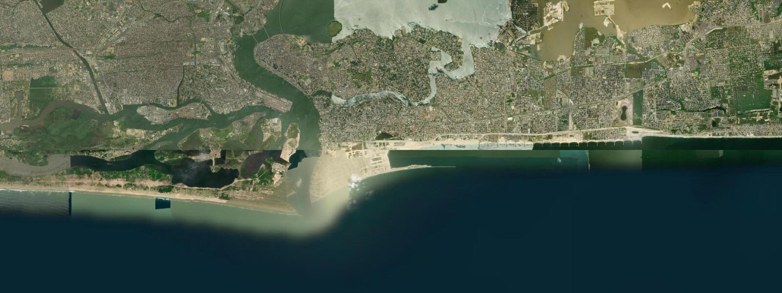
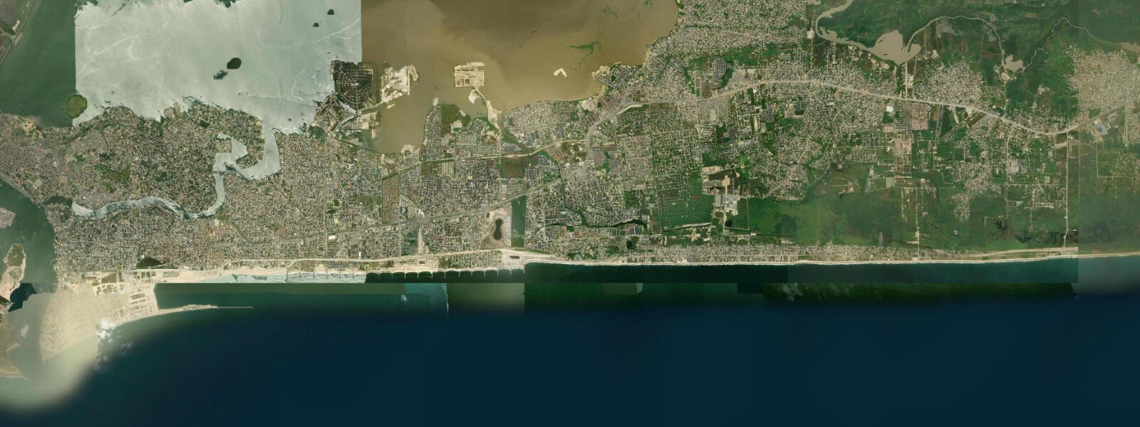
Bar Beach is on the Atlantic Ocean face of Victoria Island, one of the narrow barrier islands that separates the Lagos Lagoon from the Bight of Benin. For a city of 15 to 20 million people, it is the nearest ocean beach to most residents — a fact that shapes everything about the place. The beach is wide (60 to 80 metres of dry sand at mid-tide), backed by the Victoria Island residential and commercial district, and persistently busy on weekends and public holidays.
The Atlantic tidal regime at Lagos is mixed semidiurnal with spring ranges of approximately 1.0 to 1.5 metres — moderate, but enough to make the low-water flat usable for walking and fishing that the high-tide line cuts off. The South Atlantic swell is the dominant water-level forcing: persistent 1.0 to 2.0 metre swell runs year-round from the South Atlantic, generated by the trade winds and Southern Ocean systems. From July through September, larger swell episodes push heights to 2.0 to 3.0 metres on the beach — these periods produce the strongest rip currents and the worst conditions for casual swimming.
Eko Atlantic City is being constructed immediately offshore from Bar Beach. The project — a privately-developed reclaimed island of approximately 10 square kilometres — began construction in 2008 and is ongoing. The seawall for the development altered the wave climate on the western section of Bar Beach, and the beach has experienced significant erosion in the sections adjacent to the construction. The eastern section of Bar Beach, away from the Eko Atlantic wall, retains the original beach character. The long-term effect of the development on Bar Beach's sediment budget is a subject of ongoing scientific dispute.
The beach economy is informal and comprehensive. Food vendors work the entire length of the sand — suya skewers, roasted corn, coconut water, and fried fish are the standards. Motorbike taxis offer rides along the beach front road. ATV and horse rides operate on the sand. Beach barbers set up under umbrellas. The density of informal commerce intensifies on Friday afternoons and through the weekend.
For anglers, the shore break and the channel formed by the longshore bar are the relevant features. Threadfin (Polydactylus spp.) and barracuda move through the shore break on the outgoing tide; the last two hours of the ebb concentrate fish in the longshore trough. Surf casting with heavy tackle is the local method. The eastern end of Bar Beach, where the beach meets the mouth of Lighthouse Creek, produces the most consistent angling — the creek outflow on the ebb creates a bait concentration.
Beach safety is a genuine concern. Bar Beach has persistent rip currents in the shore break; the South Atlantic swell ensures year-round wave activity, and there are no formal lifeguard services. Fatalities occur annually. Swimming should be confined to shallow, supervised conditions. The beach is primarily a social and commercial space rather than a swimming destination — the Lagos population uses it in a way that reflects the reality of the conditions.
For photographers, the combination of human activity (the informal economy, the scale of the crowd on weekends), the Eko Atlantic construction on the horizon, and the light that comes off the Atlantic in the late afternoon provides strong material. The low-angle light in the two hours before sunset illuminates the beach commerce and the surf simultaneously. The Lighthouse Creek mouth at the eastern end, at low tide, produces a tidal pool and exposed sandbar that contrast with the urban backdrop.
The long-term erosion trajectory of the Lagos Atlantic coast is a documented concern. The natural sediment transport system that maintains the barrier island beaches relies on longshore drift from the west — sand moving eastward along the coast from the Niger Delta sediment source. Development of ports, jetties, and groyne structures along the coast over the past 60 years has interrupted this drift at multiple points. Bar Beach has been one of the most affected sections. The Eko Atlantic seawall has added a further interruption. The beach that exists today on the Bar Beach frontage is narrower than the beach documented in photographs from the 1970s. The trajectory is toward continued narrowing without active sand nourishment.
Predictions on this page come from Open-Meteo Marine, a gridded global ocean model. Accuracy is typically within plus or minus 45 minutes on timing and 0.2 to 0.3 metres on height — model-derived, not from a local gauge. The authoritative source for marine data in Nigeria is the Nigerian Ports Authority (NPA) and the Nigerian Meteorological Agency (NIMET).
Tide questions about Bar Beach
Quick answers to the most common questions about tide times, range, and water access at Bar Beach.
What is the tidal range at Bar Beach, Lagos?
Lagos operates under a mixed semidiurnal tidal regime driven by Atlantic forcing through the Bight of Benin. Spring tides at Bar Beach produce a range of approximately 1.0 to 1.5 metres. The tidal variation is moderate by Atlantic standards — the South Atlantic swell is a much more significant influence on the beach conditions than the tide itself. The combination of a spring high tide with a larger swell event produces the worst beach conditions (narrowest beach, strongest rip currents). Low spring tide with calm swell produces the widest beach and most accessible conditions for shore fishing and beach walking.
Is Bar Beach safe for swimming?
Bar Beach has persistent rip currents driven by the South Atlantic swell, which runs 1.0 to 2.0 metres year-round and increases to 2.0 to 3.0 metres from July through September. There are no formal lifeguard services. Annual drowning fatalities occur. The beach is primarily a social and commercial space — the Lagos population congregates for food, socialising, and commerce rather than swimming. If swimming in the surf, confine it to waist depth close to shore, avoid July through September, and go in the early morning when conditions are typically calmer before the sea breeze develops. The safest swimming times coincide with low spring tides and calm swell periods.
What is Eko Atlantic City and how does it affect Bar Beach?
Eko Atlantic City is a privately-developed reclaimed island being constructed offshore from Bar Beach, beginning in 2008. The project aims to create approximately 10 square kilometres of new land. The seawall constructed for the development has altered the wave and sediment dynamics on the adjacent sections of Bar Beach, contributing to accelerated erosion on the western end of Bar Beach near the wall. The eastern section, away from the Eko Atlantic perimeter, retains its original character. The long-term sediment effects are contested — some studies project continued erosion on Bar Beach as the development interrupts the longshore drift that maintains the beach.
When is the surf at Bar Beach largest?
South Atlantic swell reaches Bar Beach year-round, but the largest episodes occur from July through September when a combination of Southern Ocean winter storms and Atlantic system activity increases swell height to 2.0 to 3.0 metres on the beach face. During these months rip currents are strongest and the shore break is most powerful. The trade wind swell (generally 1.0 to 2.0 metres) is the year-round baseline. The calmest conditions typically occur from November through March during the northeast monsoon period, when offshore winds and reduced Southern Ocean activity produce smaller, more regular swell.
What can I catch fishing from Bar Beach?
Shore casting from Bar Beach produces threadfin (Polydactylus spp.), barracuda, and various snapper species. The most productive platform is the eastern end of the beach near the Lighthouse Creek mouth, where the creek outflow on the ebb tide concentrates bait. The last two hours of the ebb are generally the most productive period. Surf casting with heavy tackle (capable of holding in the persistent swell) is the standard local approach. The longshore trough formed behind the inner sandbar concentrates fish on the outgoing tide. Weekday early mornings produce quieter conditions than weekends when beach crowding reduces the available casting area.
8-day tide table — Bar Beach
Heights relative to MSL. Predictions: Open-Meteo Marine (MeteoFrance SMOC, 0.08° grid) — heights relative to MSL (not chart datum / LAT). Model-derived.
| Day | Type | Time | Height |
|---|---|---|---|
| Fri 03 Jul | Low | 01:00 | -0.6m |
| High | 18:02 | 0.6m | |
| Sat 04 Jul | Low | 00:34 | -0.7m |
| High | 07:06 | 0.5m | |
| Low | 12:50 | -0.3m | |
| High | 18:40 | 0.5m | |
| Sun 05 Jul | Low | 01:06 | -0.7m |
| High | 07:48 | 0.6m | |
| Mon 06 Jul | Low | 01:47 | -0.6m |
| High | 08:25 | 0.6m | |
| Low | 14:35 | -0.3m | |
| Tue 07 Jul | High | 09:13 | 0.6m |
| Wed 08 Jul | Low | 03:23 | -0.4m |
| High | 10:05 | 0.6m | |
| Low | 16:43 | -0.4m | |
| Thu 09 Jul | High | 11:06 | 0.6m |
| Low | 17:54 | -0.4m | |
| Fri 10 Jul | High | 00:00 | 0.3m |