Maré tide times
Maré tide forecast — heights relative to MSL.
Today's tide times for Maré
Tide times at Maré on Saturday, 4 July 2026: first high tide at 09:23pm. Sunrise 06:27am, sunset 05:18pm.
Tide chart for Maré
24-hour cosine-interpolated curve around the present moment. Heights relative to MSL. Predictions: Predictions: Open-Meteo Marine (MeteoFrance SMOC, 0.08° grid).
Sun, moon and conditions on Sat 04 Jul
Snapshot at build time — refreshes daily. Sea state from Open-Meteo Marine.
Highs and lows next 7 days
Every predicted high and low for the next week, with the daily tidal coefficient (0–120; higher = bigger swing, > 95 means stronger currents).
Other spots nearby
The three closest curated TideTurtle locations to Maré, measured by great-circle distance.
Today's solunar windows
Solunar tradition: major periods are the ≈3h windows around moon transit and opposition; minor are ≈2h around moonrise and moonset. Pair with the local tide stage and wind for the best read.
Cycle dates near Maré
Next spring tide on Sun 05 Jul (range 0.9m). Last neap on Sat 04 Jul.
Spring tides cluster around new and full moons (biggest swings). Neap tides land on quarter moons (smallest swings). See the spring tide and neap tide glossary entries for the why.
About tides at Maré
A short guide to the coastline at Maré — geography, sea state, and what the tide is actually doing under your feet.
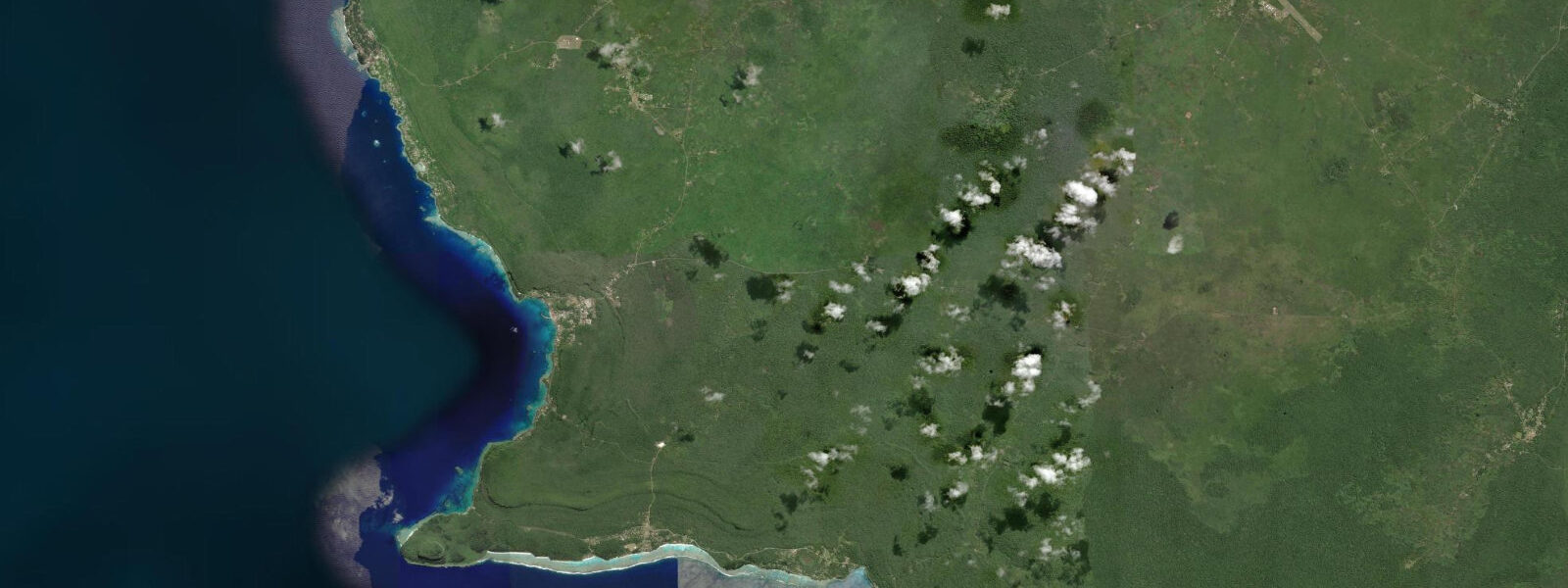
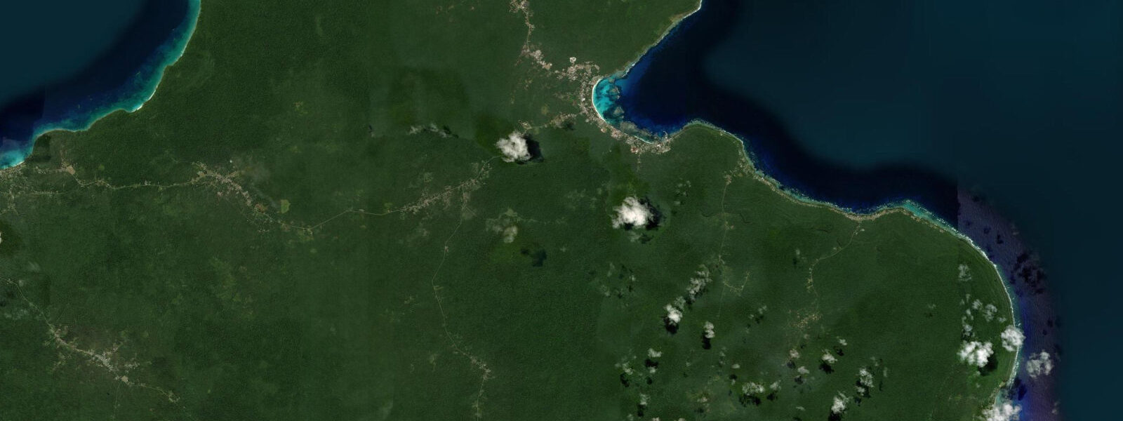
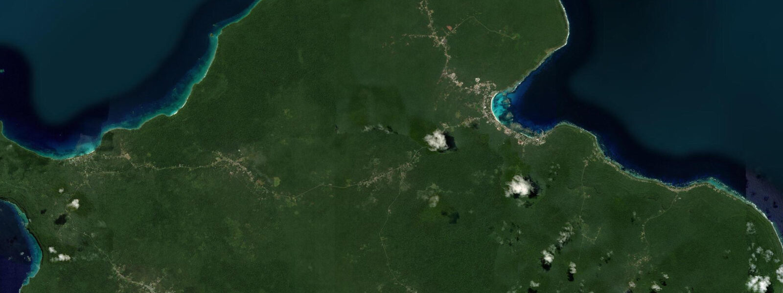
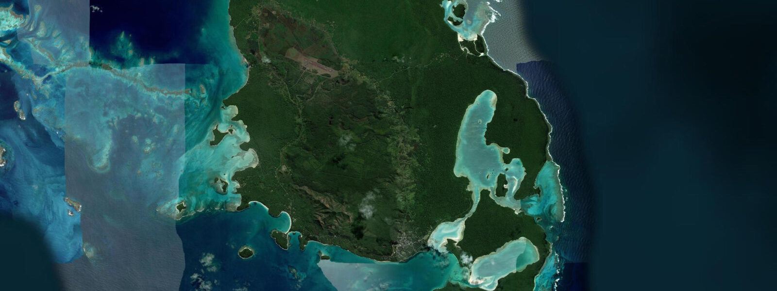
Maré is the southernmost of the three main Loyalty Islands, roughly 180 kilometres east of Nouméa by air. The island is a raised coral limestone plateau — no rivers, no real hills, just a flat table of land edged by cliffs on the windward east coast and a calmer lagoon fringe on the west. The Kanak communities of Maré (Nengone speakers) have maintained customary land tenure and a relatively low level of external tourism development, which means the island looks and feels different from the Nouméa coastline. That difference is the point.
Tides at Maré are mixed semidiurnal with a range of 1.0 to 1.5 metres — the larger range of the Loyalty Islands compared to the mainland. Two unequal highs and two unequal lows each day produce a tidal rhythm where timing and height both matter for reef access. Open-Meteo Marine forecasts for Maré are accurate to roughly ±45 minutes on timing and ±0.2 to 0.3 metres on height. The island's eastern cliffs are exposed to the southeast trade swell and inaccessible in most sea states; activity there is only viable on calm mornings at high water when the surge is manageable.
The natural swimming pool at Pénélope, on the northeastern coast, is the most photographed site on the island. It is a shallow circular rock basin fed by the sea through a natural opening, forming a protected pool of clear water above the coral limestone. At high tide the pool deepens and the salt water temperature is noticeably warmer than the open ocean outside. At low tide the opening to the sea becomes more exposed and the pool shallower — still swimmable but less comfortable. The surrounding rock platform requires attention on foot, particularly on the wave-facing edge.
The interior plateau has a network of tracks through low scrub to various coastal viewpoints, cave systems formed in the coral limestone, and the Netche waterhole (a freshwater lens trapped in the porous rock — rare and valued). The cave systems connect to the sea in some places; water levels inside shift with the tide. Anyone exploring the coastal caves should check tide predictions in advance — a rising tide inside a cave with a sea connection is not an abstract risk.
Customary protocols apply across most of Maré's land. Approaching any village, archaeological site, or traditional area requires acknowledging the landowners. The standard gesture is a small presentation of goods (kava root is appropriate; the act matters more than the quantity). Guided tours arranged through the gîte network on the island handle these introductions automatically. Independent exploration is possible but requires the same courtesies — treating the obligation as optional has caused friction in the past.
Accommodation on Maré consists primarily of gîtes — small family-run bungalows with meals included, typically priced in CFP (the franc of the territories). Standards vary; the better gîtes are near the Tadine and La Roche areas on the west coast. Flights from Nouméa's Magenta Airport serve Maré's La Rouaabout Airport daily on Air Calédonie. Journey time is about 40 minutes. No ferry from Nouméa serves Maré on a regular schedule, though irregular cargo-passenger services run.
The reef fringe on the western lagoon side is the most accessible dive and snorkel terrain. The lagoon shelf is shallow (2–8 metres) out to the reef break, accessible by inflatable dinghy from the beach in front of several gîtes. Visibility peaks in June to September when trade winds are established and river runoff from the Grande Terre is minimal. Current through the reef passes on the western side runs predictably with the tide — plan entries on the flood tide running into the lagoon for the least effort and clearest visibility.
Tide questions about Maré
Quick answers to the most common questions about tide times, range, and water access at Maré.
What is the best tide for the natural swimming pool at Pénélope?
The Pénélope pool is best at high tide. The rock basin fills to roughly 1.5 to 2 metres at high water, creating a stable, warm, protected swimming area with good depth for an easy float. At low tide the pool shallows to 0.5 to 0.8 metres and the wave-facing opening to the sea is more exposed, reducing comfort and slightly increasing surge. Maré's tidal range is 1.0 to 1.5 metres on a mixed semidiurnal pattern, so high water occurs twice daily at irregular intervals. Open-Meteo Marine forecasts timing to ±45 minutes — use the forecast to arrive within 30 minutes of the predicted high for the best conditions. The surrounding rock platform is slippery; reef shoes are practical regardless of tidal state.
How do customary protocols work for visitors to Maré?
Most of Maré's land is held under customary title by Kanak clans (Nengone-speaking communities). Before approaching any village, traditional site, or non-public land, visitors are expected to acknowledge the landowners — typically with a small presentation of kava root or a verbal greeting to the chief or household head. This is not a formal ceremony; it is an acknowledgement of presence and permission. Gîte operators on the island handle these introductions for guests on guided visits, which is the easiest way to navigate the obligation. Independent travellers should ask their gîte host before any non-public excursion. The expectation applies to caves, coastal rock platforms, and the interior tracks as well as villages.
Are the coastal caves on Maré safe to explore?
Maré's coral limestone has extensive cave systems, some of which connect directly to the sea. In sea-connected caves, water levels rise and fall with the tide — on Maré, a 1.0 to 1.5 metre range means a cave passage that is walkable at low water can flood to chest height or higher within two to three hours. Before entering any coastal cave, check the Open-Meteo Marine tide forecast for current state and the next high water, and establish clearly whether the cave has a sea connection. Caves in the interior plateau — including the Netche freshwater lens area — do not typically have direct tidal connections but the limestone can be loose and cave mapping is incomplete. A local guide is the safest approach for any cave exploration beyond obvious day-use sites.
How do you get from Nouméa to Maré?
Air Calédonie (Aircal) operates daily turboprop flights between Nouméa's Magenta Airport and La Rouaabout Airport on Maré. Flight time is approximately 40 minutes. Schedules typically offer one to two daily frequencies; book in advance during French school holidays (July, October, Christmas) when demand from New Caledonia-based travellers peaks. There is no regular passenger ferry to Maré from Nouméa; irregular cargo-passenger services run on the La Foa line but are not reliable for itinerary planning. Magenta Airport is within Nouméa city; La Tontouta International (the intercontinental gateway) is 50 kilometres north of the city and requires an additional transfer.
What is the diving like on Maré's western reef?
The western lagoon fringe offers shallow reef diving in 2 to 8 metres out to the reef break, with larger walls and bommies visible from the edge of the shelf. Visibility peaks between June and September when southeast trades are established and suspended sediment from the Grande Terre is minimal — 25 to 35 metres is common. Current through the western reef passes runs with the tide; a flood tide pushing into the lagoon is the preferred entry direction, as it carries you over the reef rather than off it. Tidal timing from Open-Meteo Marine (±45 minutes, ±0.2–0.3 metres) is adequate for planning. There is no dedicated dive operator on Maré — trips are typically organised through gîte operators or by arrangement with visiting liveaboards from Nouméa.
8-day tide table — Maré
Heights relative to MSL. Predictions: Open-Meteo Marine (MeteoFrance SMOC, 0.08° grid) — heights relative to MSL (not chart datum / LAT). Model-derived.
| Day | Type | Time | Height |
|---|---|---|---|
| Sat 04 Jul | High | 21:23 | 1.0m |
| Sun 05 Jul | Low | 03:12 | 0.5m |
| High | 08:38 | 0.9m | |
| Low | 15:10 | 0.2m | |
| High | 22:00 | 1.1m | |
| Mon 06 Jul | Low | 04:12 | 0.5m |
| High | 09:38 | 0.9m | |
| Low | 15:55 | 0.3m | |
| High | 22:37 | 1.1m | |
| Tue 07 Jul | Low | 05:07 | 0.4m |
| High | 10:47 | 0.8m | |
| Low | 16:38 | 0.4m | |
| High | 23:21 | 1.1m | |
| Wed 08 Jul | Low | 06:04 | 0.4m |
| Thu 09 Jul | High | 00:04 | 1.1m |
| Low | 06:56 | 0.3m | |
| High | 13:12 | 0.9m | |
| Low | 18:37 | 0.5m | |
| Fri 10 Jul | High | 00:54 | 1.1m |
| Low | 07:50 | 0.2m | |
| High | 14:22 | 0.9m | |
| Low | 19:38 | 0.5m | |
| Sat 11 Jul | High | 01:43 | 1.1m |
| Low | 08:46 | 0.1m |