Île des Pins, New Caledonia tide times
Île des Pins, New Caledonia tide forecast — heights relative to MSL.
Today's tide times for Île des Pins, New Caledonia
Tide times at Île des Pins, New Caledonia on Saturday, 4 July 2026: first high tide at 10:16pm. Sunrise 06:31am, sunset 05:17pm.
Tide chart for Île des Pins, New Caledonia
24-hour cosine-interpolated curve around the present moment. Heights relative to MSL. Predictions: Predictions: Open-Meteo Marine (MeteoFrance SMOC, 0.08° grid).
Sun, moon and conditions on Sat 04 Jul
Snapshot at build time — refreshes daily. Sea state from Open-Meteo Marine.
Highs and lows next 7 days
Every predicted high and low for the next week, with the daily tidal coefficient (0–120; higher = bigger swing, > 95 means stronger currents).
Other spots nearby
The three closest curated TideTurtle locations to Île des Pins, New Caledonia, measured by great-circle distance.
Today's solunar windows
Solunar tradition: major periods are the ≈3h windows around moon transit and opposition; minor are ≈2h around moonrise and moonset. Pair with the local tide stage and wind for the best read.
Cycle dates near Île des Pins, New Caledonia
Next spring tide on Sun 05 Jul (range 0.9m). Next neap on Tue 07 Jul.
Spring tides cluster around new and full moons (biggest swings). Neap tides land on quarter moons (smallest swings). See the spring tide and neap tide glossary entries for the why.
About tides at Île des Pins, New Caledonia
A short guide to the coastline at Île des Pins, New Caledonia — geography, sea state, and what the tide is actually doing under your feet.
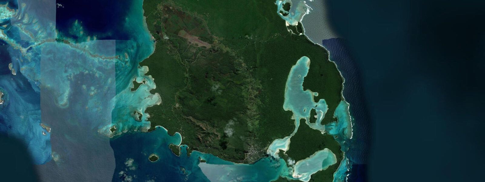
Île des Pins lies 70 km southeast of Grande Terre across the Saint-Vincent Channel, accessible by 30-minute Aircalin turboprop from Nouméa or by a 4-hour sea catamaran service from the capital. Bougainville anchored here in 1768 and named the island for the tall Cook Pines (Araucaria columnaris) he saw on the hillsides; his phrase that it was the closest island to Paradise has been quoted in every travel piece since. The Kanak name Kounié carries older meaning — the island was and remains the traditional territory of the Kanak people of Vao, governed by a series of customary chiefs.
The Cook Pine is the visual signature of the island: Araucaria columnaris grows in narrow columns, sometimes 50 m tall, arrayed across the hillsides and the plateau in dense groves. Unlike most araucaria species, the trunks lean slightly toward the equator, an orientation consistent enough across the species that the trees can serve as a rough compass in the southern hemisphere. The groves give Île des Pins a silhouette recognisable from the sea on approach.
Oro Bay on the southwestern coast is the most visited site on the island. A natural swimming pool is formed where a shallow reef encloses a stretch of white sand bay, creating calm transparent water over white sand in a palette that photographs as improbably blue-green. The pool is accessible at all tide states but is most spectacular on the falling tide: as the bay level drops slightly below the open sea, the enclosed water becomes mirror-calm and the boat traffic through the reef entrance — traditional pirogues sailed by Kanak women from the Vao community — creates the only ripples. The Cook Pine forest behind the beach provides deep shade from mid-morning onward. At the spring low, the reef flat bordering the pool is exposed and walkable in 20 to 40 cm of water; the sea stars, chitons, and small reef fish in the intertidal zone are visible directly without snorkelling.
The Pacific tidal regime here is semidiurnal, spring range 1.0 to 1.5 m. Oro Bay's enclosed geometry produces a modest tidal current at the reef entrance on the ebb, detectable as a gentle directional flow through the pool but not strong enough to pose any hazard. Gadji Beach on the south coast is a longer, more exposed sandy arc with Atlantic-style wave action on the east swell days; it is used for swimming in light Pacific swell conditions and for coastal walks. The traditional pirogue sailing offered by the Vao Kanak women's cooperative is one of the island's specific cultural experiences and worth timing around the calm-water period — early morning before the trade wind builds, or afternoon once it drops.
The island is administered under New Caledonia's South Province and the Kanak chiefdom at Vao holds authority over the surrounding customary land and coastal areas. The convention is to check in with the tourism office in Vao on arrival, particularly before walking remote coastal areas or accessing beach sections beyond the main resort zone. This is normal local protocol and is handled smoothly through the island's accommodation operators. Predictions on this page come from Open-Meteo Marine (gridded model, ±45 min / ±0.2–0.3 m). The traditional Kanak architecture visible on Île des Pins — round-plan meeting houses with tall thatched roofs — is different from anything on Grande Terre and reflects the long cultural isolation of the island before European contact. The Vao cultural village maintains examples of traditional construction methods; visiting with a guide provides the architectural and anthropological context that the physical structures alone don't communicate. The round house at the Vao cultural centre is the most complete example accessible to outside visitors.
Tide questions about Île des Pins, New Caledonia
Quick answers to the most common questions about tide times, range, and water access at Île des Pins, New Caledonia.
When is the next high tide at Île des Pins?
The hero block shows the next predicted high at Île des Pins in New Caledonia Time (NCT, UTC+11). Pacific semidiurnal, spring range 1.0 to 1.5 m. Oro Bay's natural pool is most mirror-calm around the slack at high water; the falling tide creates gentle circulation through the reef entrance. At the spring low, the reef flat adjacent to the pool is exposed and walkable in 20 to 40 cm of water. Predictions from Open-Meteo Marine (gridded model, ±45 min / ±0.2–0.3 m).
What is the tidal range at Île des Pins?
Spring range runs 1.0 to 1.5 m; neap range about 0.5 to 0.7 m. The reef-enclosed Oro Bay pool changes character across the tidal cycle: calmest at the spring high slack, gently circulating at low water as the exchange through the reef entrance increases. The exposed reef flat at the spring low allows 1 to 2 hours of shallow wading access to the intertidal zone. The change in character is noticeable across a single day's visit. The Oro Bay pool's reef entrance creates a gentle current of 0.2 to 0.5 knots on the ebb; this is detectable but not hazardous for swimmers. The strongest flow is at the reef entrance, not inside the pool itself.
Where do these predictions come from?
Open-Meteo Marine, a free gridded global ocean model, accuracy ±45 min / ±0.2–0.3 m. SHOM (Service Hydrographique et Océanographique de la Marine) publishes authoritative tidal predictions for New Caledonia; the Île des Pins reference station is included in SHOM tide tables and provides gauge-calibrated timing if precise planning is needed. SHOM tide tables include the Île des Pins reference station; the tables are published annually and available through the SHOM website and the Nouméa hydrographic office. Official tide tables for Île des Pins are produced by SHOM (Service Hydrographique et Océanographique de la Marine); these provide harmonic-based predictions calibrated to local gauges for navigation purposes.
Do I need a cultural permit to visit Île des Pins?
No formal permit is required for tourist access to the main sites. The Kanak chiefdom at Vao governs access to some areas; checking in at the Vao tourism office on arrival is a courtesy that removes ambiguity about beach and coastal access. The pirogues sailed by Kanak women at Oro Bay are operated by the Vao community cooperative; booking directly with them for a sailing tour supports the community livelihood and opens the visit beyond the beach. The island's accommodation operators handle the customary access formalities for their guests as a normal part of booking.
Is this safe to use for navigation?
No. TideTurtle is a planning tool. The Saint-Vincent Channel crossing from Nouméa and the reef approaches to Île des Pins from the east require proper chart navigation. SHOM chart products cover New Caledonian waters; the Île des Pins approach from the south has shoaling reef on the western side not always visible at the surface. The Saint-Vincent Channel crossing and the eastern approach to Île des Pins from the open Pacific have reef shoaling hazards; SHOM chart products cover these waters for vessel operations.
8-day tide table — Île des Pins, New Caledonia
Heights relative to MSL. Predictions: Open-Meteo Marine (MeteoFrance SMOC, 0.08° grid) — heights relative to MSL (not chart datum / LAT). Model-derived.
| Day | Type | Time | Height |
|---|---|---|---|
| Sat 04 Jul | High | 22:16 | 1.0m |
| Sun 05 Jul | Low | 16:10 | 0.1m |
| High | 22:54 | 1.0m | |
| Mon 06 Jul | Low | 05:21 | 0.3m |
| High | 10:55 | 0.8m | |
| Low | 16:52 | 0.2m | |
| Tue 07 Jul | High | 11:52 | 0.8m |
| Low | 17:37 | 0.3m | |
| Wed 08 Jul | High | 00:10 | 1.0m |
| Low | 06:52 | 0.2m | |
| Thu 09 Jul | High | 00:50 | 1.0m |
| Low | 07:37 | 0.2m | |
| High | 14:00 | 0.8m | |
| Low | 19:38 | 0.4m | |
| Fri 10 Jul | High | 01:36 | 1.0m |
| Low | 08:36 | 0.1m | |
| High | 15:07 | 0.9m | |
| Sat 11 Jul | Low | 09:23 | 0.1m |