Lifou tide times
Lifou tide forecast — heights relative to MSL.
Today's tide times for Lifou
Tide times at Lifou on Saturday, 27 June 2026: first low tide at 11:00am, first high tide at 04:55pm, second low tide at 10:10pm. Sunrise 06:27am, sunset 05:19pm.
Tide chart for Lifou
24-hour cosine-interpolated curve around the present moment. Heights relative to MSL. Predictions: Predictions: Open-Meteo Marine (MeteoFrance SMOC, 0.08° grid).
Sun, moon and conditions on Sat 27 Jun
Snapshot at build time — refreshes daily. Sea state from Open-Meteo Marine.
Highs and lows next 7 days
Every predicted high and low for the next week, with the daily tidal coefficient (0–120; higher = bigger swing, > 95 means stronger currents).
Other spots nearby
The three closest curated TideTurtle locations to Lifou, measured by great-circle distance.
Today's solunar windows
Solunar tradition: major periods are the ≈3h windows around moon transit and opposition; minor are ≈2h around moonrise and moonset. Pair with the local tide stage and wind for the best read.
Cycle dates near Lifou
Next spring tide on Tue 30 Jun (range 1.0m). Last neap on Sat 27 Jun. Next neap on Fri 03 Jul.
Spring tides cluster around new and full moons (biggest swings). Neap tides land on quarter moons (smallest swings). See the spring tide and neap tide glossary entries for the why.
About tides at Lifou
A short guide to the coastline at Lifou — geography, sea state, and what the tide is actually doing under your feet.
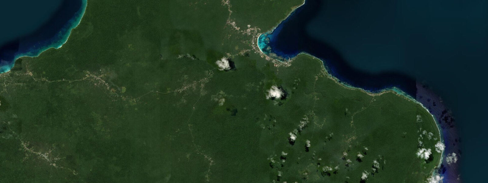
Lifou is the largest of the Loyalty Islands, a chain of raised coral plateaux lying 100–150 km east of Grande Terre outside the New Caledonia barrier reef. The island is structurally unlike anything inside the lagoon: tectonic uplift has raised the coral limestone plateau to 30–50 m above sea level, so that much of the coast is vertical sea cliffs dropping directly from the plateau edge to the ocean below. There is no fringe reef in the conventional sense on the east and northeast faces — the limestone platform simply ends and the Pacific begins. On the west and southwest coast, some reef development provides partial protection.
Because Lifou lies outside the barrier reef, its tidal signal is the full open-Pacific mixed semidiurnal signal rather than the damped lagoon version experienced at Nouméa. Spring range at Lifou runs 1.2–1.5 m above Chart Datum, roughly 20% higher than inside the Nouméa lagoon. Tidal current along the base of the sea cliffs depends on local underwater topography but runs at 0.5–1.2 knots along the east coast cliff faces on spring tides.
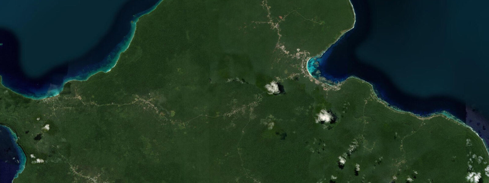
The signature experience at Lifou is cliff-base access to the sea. The plateau cliffs on the northwest coast — particularly around Jokin village — have natural staircases in the limestone where erosion has cut horizontal bedding planes down to sea level. At low spring water, the lowest tidal platform is exposed at 0.1–0.2 m above Chart Datum, giving access to clear-water snorkelling directly below the cliffs in 3–8 m. This is Lifou's premier snorkelling zone: the visibility runs 25–40 m, the coral coverage on the vertical cliff faces is dense, and sea turtles work the cliff base at all tidal states.
Photographers shooting the sea cliffs from the water level need to be on the tidal platform in the 90-minute window around low spring water. The white limestone cliff face above and the turquoise water below creates the colour contrast that defines Lifou's visual identity. Morning light enters from the east, which is the exposed side of the island — the east-coast cliff bases are best lit 06:30–09:30, but wave access on the east face requires sea-state assessment. The more sheltered west-facing cliffs at Jokin catch afternoon light from 14:00–17:00 and the approach from a kayak or small boat is straightforward in the calmer trade-wind shadow.
For divers, Lifou's outside-the-reef position means dive sites carry full Pacific coral diversity without the sedimentation and runoff that affects some lagoon sites. The cliff walls drop to 30–50 m with coral coverage from the surface to depth. Grey reef sharks and whitetip reef sharks patrol the cliff base in low-current windows; tidal current along the east cliff face at spring tides reaches 1.2 knots, which is manageable for experienced divers in controlled drift dives. Plan dives for the slack-water windows to allow stationary exploration of the cliff face structure.
Kayakers reaching Lifou from the Nouméa area face an exposed 100 km open-ocean crossing — a serious multi-day expedition for expedition paddlers only. Once on Lifou, the west coast from Wé (the main town) to Jokin provides 20 km of scenic cliff and cove kayaking in the trade-wind shadow. Launch from Wé's beach at high tide to maximise water depth in the inner cove; paddle north in the morning; return on the afternoon ebb.
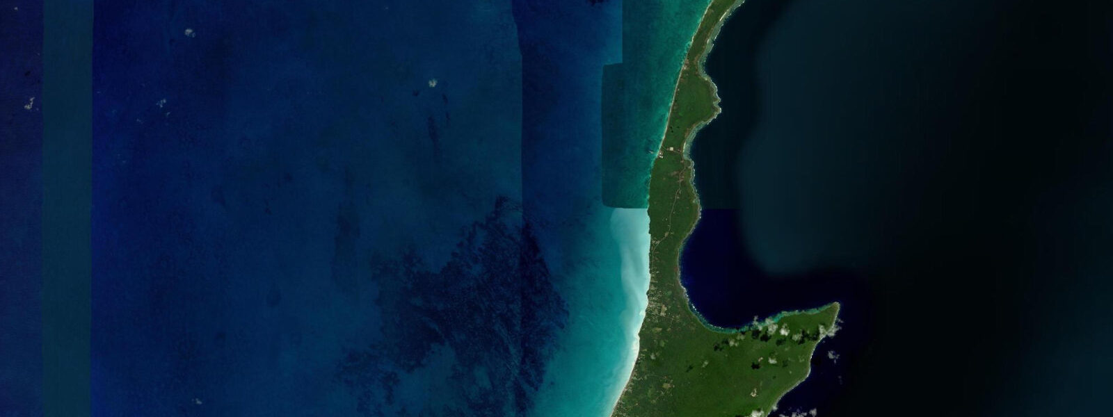
Families visiting Lifou concentrate on the sheltered west-side beaches in the Wé area — Luengöni Beach on the southwest coast is considered the island's best family beach, with calm, clear water and a sandy bottom at all tidal states. The beach is tidal — at low spring water the inner 20 m of the bay is very shallow and shell-covered, while at high tide the full bay is swimmable.
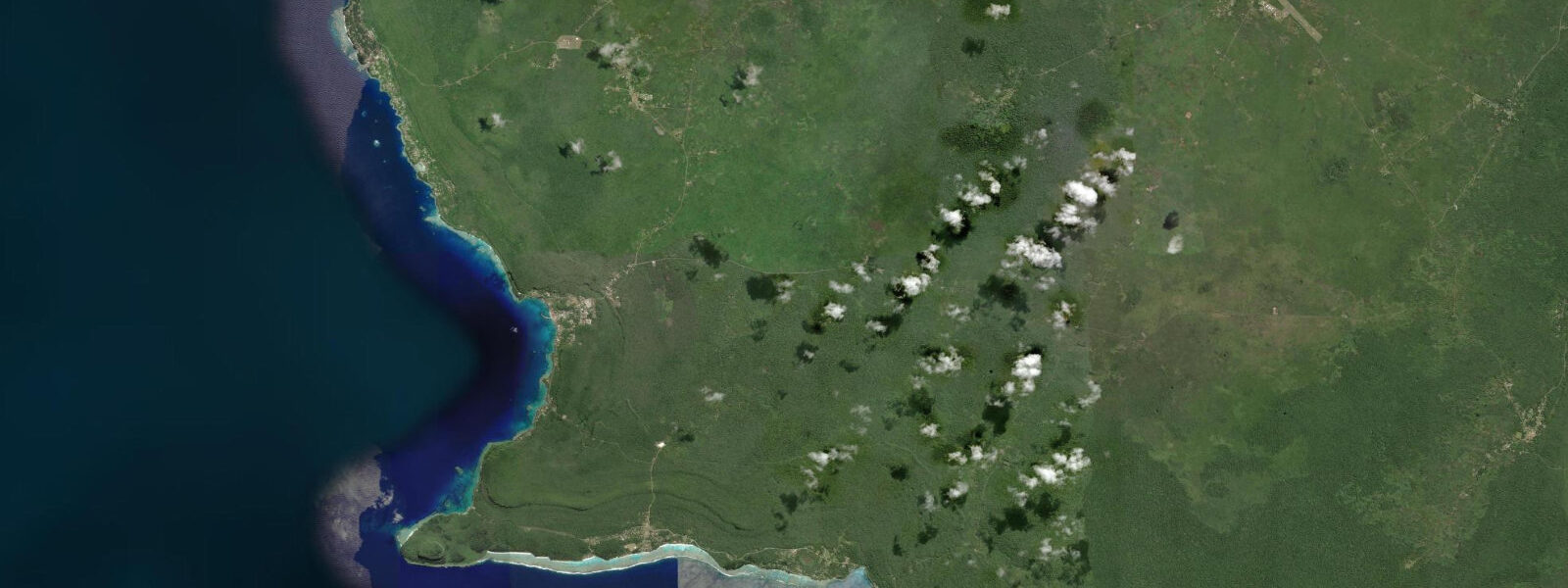
Anglers on Lifou target trevally, wahoo, and snapper from small boats along the outer cliff faces. The east coast cliff base is the most productive zone for pelagic species, but only in sea states below 1.0 m swell — the exposed cliffs have no protection from the east and the access window is weather-dependent.
All tide predictions for Lifou come from the Open-Meteo Marine gridded model. Timing accuracy is ±45 minutes; height accuracy is ±0.3 m above Chart Datum.
Tide questions about Lifou
Quick answers to the most common questions about tide times, range, and water access at Lifou.
Why is the tidal range at Lifou higher than at Nouméa?
Lifou lies outside the New Caledonia barrier reef, so it receives the full open-Pacific tidal signal rather than the damped version experienced inside the lagoon. The barrier reef and the shallow lagoon absorb and retard tidal energy — at Nouméa the spring range is 1.0–1.5 m and tides lag by up to 2 hours compared to the open ocean. At Lifou the spring range is 1.2–1.5 m and tidal timing more closely follows the open-Pacific prediction. For operational planning, the difference is modest in absolute terms but meaningful for tidal platform access around the sea cliffs, where 0.2 m of extra range significantly changes how long the low-water window stays open.
When is the tidal platform below the Jokin sea cliffs accessible for snorkelling?
The lowest tidal platform at Jokin is accessible for 60–90 minutes centred on low spring water — gauge below 0.3 m above Chart Datum. At these levels the platform stands just clear of the water and the approach from the natural limestone steps is safe in calm sea state. Water clarity runs 25–40 m in this window before the flood current starts stirring the bottom sediment. Sea turtles are present throughout the day but are most relaxed and approachable in the early morning before visitor foot traffic begins. Open-Meteo Marine predictions carry ±45 minutes timing uncertainty — plan to be at the base of the cliffs 30 minutes before predicted low.
What sea conditions are required to access the east-coast cliff base at Lifou?
The east coast faces the prevailing trade-wind direction (southeast to east) and is exposed to open-Pacific swell. Cliff-base access on the east face is only safe in sea states below 1.0 m significant wave height — any larger swell creates unpredictable surge at the base of the vertical limestone walls that can pin swimmers or kayakers against the rock. Check the NOAA global wave forecast or Météo-France Pacific for Lifou's east-coast swell before committing to cliff-base access. The sheltered west-facing Jokin cliffs are accessible in standard trade-wind conditions up to 1.5 m offshore swell, as the plateau provides a windbreak and wave shadow.
Is Luengöni Beach safe for families at all tidal states?
Luengöni Beach on Lifou's southwest coast is swimmable at all tidal states, though the character changes. At low spring water the inner 20 m of the bay is very shallow (less than 0.3 m) and shell-covered, making it unsuitable for swimming but excellent for younger children to wade and explore. At mid-tide and above the full bay is comfortably swimmable with a sandy bottom. The southwest coast is in the trade-wind shadow, so sea state is calm for most of the year. The main access track from the road involves a short walk through coastal scrub — confirm the track condition locally, as heavy rain can make it slippery.
Can visitors see sea turtles at the Lifou sea cliffs and is it tide-dependent?
Green turtles and hawksbill turtles are regularly seen at the Jokin cliff base snorkelling zone. They are present throughout the tidal cycle, feeding on the algae and sponge growth on the vertical limestone faces. The best sighting conditions are at low spring water in the early morning: low tide reduces the water depth above the cliff-base platform, concentrating turtles in the visible zone; early morning light gives the best underwater visibility before any turbulence from the flooding tide stirs sediment. Approach turtles slowly and horizontally — sudden movements from above trigger flight responses. Flipper propulsion from the rear disturbs turtles less than from directly above.
8-day tide table — Lifou
Heights relative to MSL. Predictions: Open-Meteo Marine (MeteoFrance SMOC, 0.08° grid) — heights relative to MSL (not chart datum / LAT). Model-derived.
| Day | Type | Time | Height |
|---|---|---|---|
| Sat 27 Jun | Low | 11:00 | 0.1m |
| High | 16:55 | 0.9m | |
| Low | 22:10 | 0.5m | |
| Sun 28 Jun | High | 03:45 | 1.0m |
| Mon 29 Jun | Low | 11:19 | 0.0m |
| High | 18:15 | 0.9m | |
| Low | 23:23 | 0.5m | |
| Tue 30 Jun | High | 05:03 | 1.0m |
| Low | 11:55 | 0.0m | |
| High | 18:56 | 1.0m | |
| Wed 01 Jul | Low | 00:07 | 0.5m |
| High | 05:37 | 1.0m | |
| Low | 12:35 | 0.0m | |
| Thu 02 Jul | High | 06:20 | 1.0m |
| Low | 13:10 | 0.0m | |
| High | 20:07 | 1.0m | |
| Fri 03 Jul | Low | 01:21 | 0.5m |
| High | 07:00 | 1.0m | |
| Low | 13:46 | 0.1m | |
| High | 20:38 | 1.0m | |
| Sat 04 Jul | Low | 02:10 | 0.5m |
| High | 07:45 | 0.9m | |
| Low | 10:00 | 0.7m |