Ulcinj tide times
Ulcinj tide forecast — heights relative to MSL.
Today's tide times for Ulcinj
Tide times at Ulcinj on Saturday, 4 July 2026: first low tide at 02:00am, first high tide at 06:50am. Sunrise 05:12am, sunset 08:21pm.
Tide chart for Ulcinj
24-hour cosine-interpolated curve around the present moment. Heights relative to MSL. Predictions: Predictions: Open-Meteo Marine (MeteoFrance SMOC, 0.08° grid).
Sun, moon and conditions on Sat 04 Jul
Snapshot at build time — refreshes daily. Sea state from Open-Meteo Marine.
Highs and lows next 7 days
Every predicted high and low for the next week, with the daily tidal coefficient (0–120; higher = bigger swing, > 95 means stronger currents).
Other spots nearby
The three closest curated TideTurtle locations to Ulcinj, measured by great-circle distance.
Today's solunar windows
Solunar tradition: major periods are the ≈3h windows around moon transit and opposition; minor are ≈2h around moonrise and moonset. Pair with the local tide stage and wind for the best read.
About tides at Ulcinj
A short guide to the coastline at Ulcinj — geography, sea state, and what the tide is actually doing under your feet.
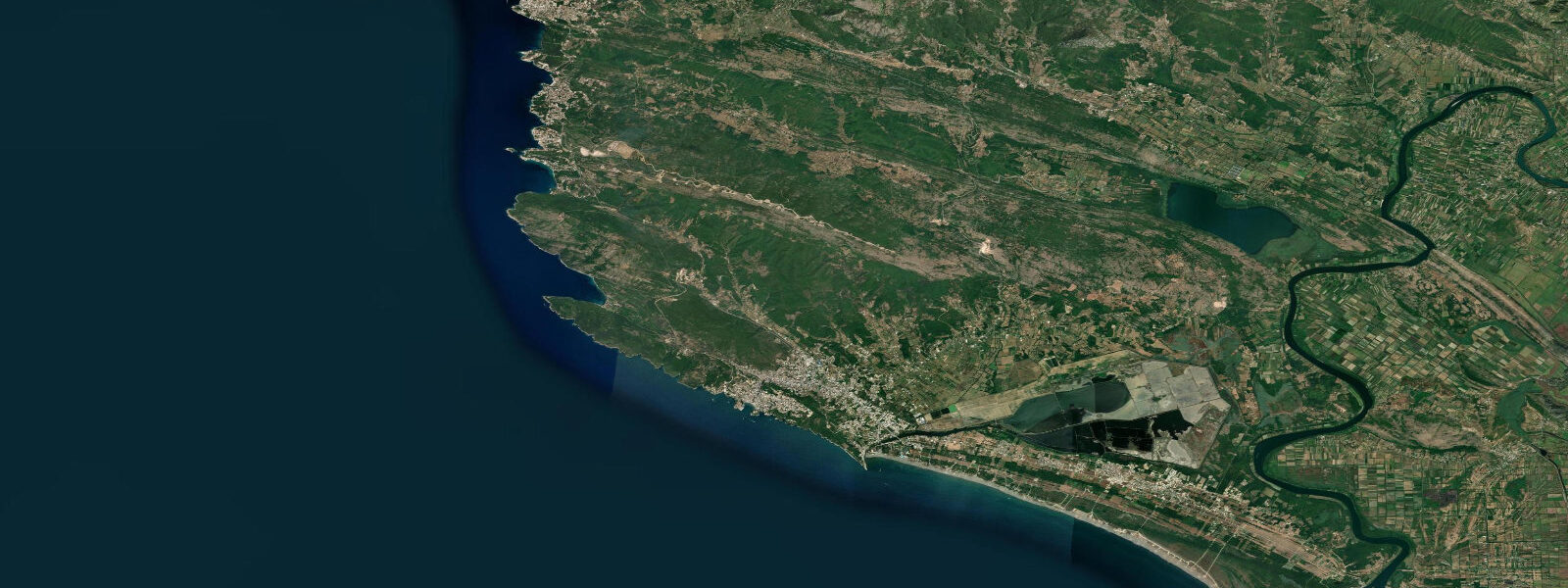
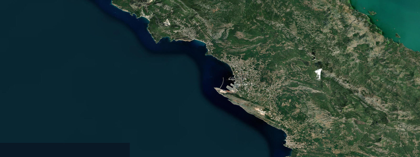
Ulcinj is Montenegro's southernmost coastal town, 25 km from Bar and 2 km from the Albanian border, and the stretch of coast it commands is the most varied on the Montenegrin Adriatic: the Old Town on its headland, 13 km of uninterrupted sandy beach to the south, and the Ulcinj Salina wetland behind the beach that has become one of the Balkans' most significant flamingo habitats. The layers of occupation on the headland — Illyrian, Greek, Roman, Byzantine, Venetian, Ottoman — are readable in the stonework of the old town walls, which still enclose a functioning neighbourhood of cafés and hotels in the restored buildings.
The Venetian connection is well documented; the Ottoman is notorious. Ulcinj was one of the Barbary Corsair bases on the Adriatic, and Miguel de Cervantes — author of Don Quixote — was enslaved here in 1575 after his capture following the Battle of Lepanto and held for five years before his family ransomed him from his Algerian captors (Ulcinj was the point of his original capture and initial imprisonment). A plaque on the Old Town wall records the connection. The corsair history gave Ulcinj a reputation that persisted for two centuries; the town's position near the Albanian coast made it the edge of effective Venetian control.
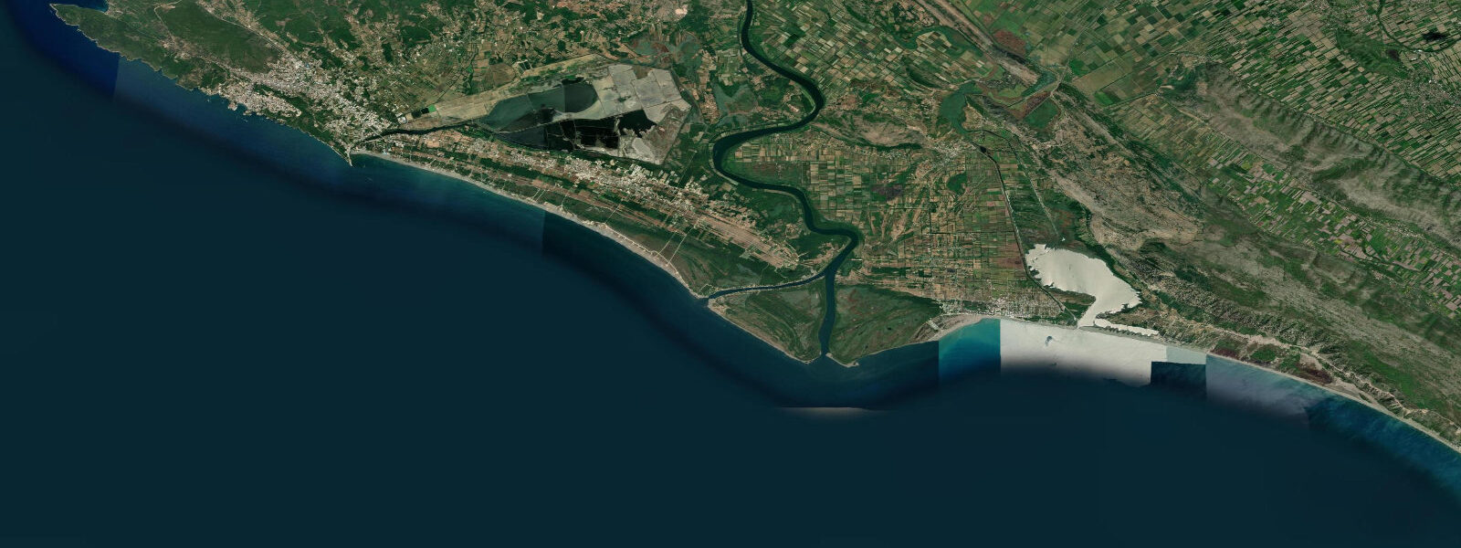
Velika Plaža (Long Beach) extends 13 km south of the Old Town headland along a straight, exposed shore. This is the longest sandy beach on the Montenegrin coast and one of the longest continuous sandy beaches on the Adriatic north of Albania. The sand is pale and fine, the gradient gentle, and the exposure to the southeast means the beach gets morning sun and is not sheltered from Jugo swell. Families occupy the northern sections near the road; nudist sections and camping areas are distributed further south. Kite-surfing and windsurfing are established activities on the beach, particularly in the afternoon when the thermal breeze from the Albanian mountains combines with the sea breeze.
The Ulcinj Salina (salt evaporation pans) 4 km south of the town, behind the northern end of Velika Plaža, is a Ramsar-listed wetland and one of the most important flamingo staging grounds in the Western Balkans. Greater flamingo (Phoenicopterus roseus) uses the salina in spring and autumn migration, with peak counts in October running to hundreds of birds. Herons, egrets, spoonbills, and terns also use the site throughout the season. The salt production that historically maintained the habitat has declined; conservation organisations have been working to preserve the wetland character.
The Adriatic at Ulcinj is semidiurnal with a spring range of 0.3 to 0.5 m. The gentle beach gradient on Velika Plaža means the waterline moves perhaps 15 to 25 m between a spring high and a spring low — noticeable at the tide junction but not a dramatic difference. Shore anglers work the tidal channels at the northern end of Velika Plaža for mullet and sea bass on the flood tide.
Predictions on this page come from Open-Meteo Marine, a gridded global ocean model. Accuracy is typically within plus or minus 45 minutes on timing and 0.2 to 0.3 m on height — at the 0.3 to 0.5 m spring range, the height uncertainty is a moderate fraction of the total signal. The Croatian Hydrographic Institute (HHI) publishes Adriatic tide tables covering Montenegrin waters.
Tide questions about Ulcinj
Quick answers to the most common questions about tide times, range, and water access at Ulcinj.
When is the next high tide at Ulcinj?
The hero block at the top of this page shows the next predicted high at Ulcinj in local Central European Time (CET/CEST, UTC+1/UTC+2). Ulcinj has an Adriatic semidiurnal tide with a spring range of 0.3 to 0.5 m. The Croatian Hydrographic Institute (HHI) publishes the most complete Adriatic tide tables, including Montenegrin waters; Ulcinj tide times follow Bar to the north by a few minutes on the southward propagation.
What is the tidal range at Ulcinj?
Mean spring range at Ulcinj is 0.3 to 0.5 m — the standard for the central-to-southern Adriatic. On the gentle-gradient Velika Plaža beach, this range moves the waterline roughly 15 to 25 m between high and low water on a spring tide — visible but not dramatic. Neap range compresses to 0.1 to 0.2 m. Jugo (southerly) storm setup can add 0.2 to 0.4 m above the predicted level, which matters more for beach width than the astronomical tide itself.
Where do these tide predictions come from?
Open-Meteo Marine, a free gridded global ocean model. At Ulcinj's spring range of 0.3 to 0.5 m, the model's typical accuracy (plus or minus 45 minutes, 0.2 to 0.3 m) is a moderate fraction of the total signal. For authoritative Adriatic tide data, the Croatian Hydrographic Institute (HHI) publishes harmonic predictions covering the eastern Adriatic. Dubrovnik is the closest major reference gauge north of Ulcinj.
When do flamingos appear at the Ulcinj Salina?
Greater flamingo (Phoenicopterus roseus) uses the Ulcinj Salina as a staging ground during spring and autumn migration. Peak autumn counts typically occur in October, with concentrations of several hundred birds possible in favourable years. Spring passage runs March through May with smaller and more variable numbers. The salina is visible from the road between Ulcinj and Velika Plaža; a short walk to the bund gives views across the evaporation pans. Binoculars are essential as the birds concentrate in the deeper pan sections. Breeding does not occur here — this is a staging and foraging site, not a nesting colony.
Is this safe to use for navigation?
No. TideTurtle is a planning tool for recreational coastal activity, not a navigation resource. The Ulcinj harbour and approaches to the Albanian coast require standard chart navigation. The Albanian maritime border is 2 km south of the town; vessel operators must be aware of the jurisdictional boundary. Croatian Hydrographic Institute (HHI) charts cover the area. Open-Meteo Marine gridded predictions do not replace authoritative navigation sources.
7-day tide table — Ulcinj
Heights relative to MSL. Predictions: Open-Meteo Marine (MeteoFrance SMOC, 0.08° grid) — heights relative to MSL (not chart datum / LAT). Model-derived.
| Day | Type | Time | Height |
|---|---|---|---|
| Sat 04 Jul | Low | 02:00 | -0.7m |
| High | 06:50 | -0.5m | |
| Sun 05 Jul | — | ||
| Mon 06 Jul | Low | 01:50 | -0.7m |
| Tue 07 Jul | — | ||
| Wed 08 Jul | — | ||
| Thu 09 Jul | High | 12:10 | -0.3m |
| Fri 10 Jul | Low | 05:50 | -0.6m |
| High | 13:10 | -0.3m | |