Bar tide times
Bar tide forecast — heights relative to MSL.
Today's tide times for Bar
Tide times at Bar on Saturday, 4 July 2026: first low tide at 02:00am, first high tide at 06:50am. Sunrise 05:12am, sunset 08:22pm.
Tide chart for Bar
24-hour cosine-interpolated curve around the present moment. Heights relative to MSL. Predictions: Predictions: Open-Meteo Marine (MeteoFrance SMOC, 0.08° grid).
Sun, moon and conditions on Sat 04 Jul
Snapshot at build time — refreshes daily. Sea state from Open-Meteo Marine.
Highs and lows next 7 days
Every predicted high and low for the next week, with the daily tidal coefficient (0–120; higher = bigger swing, > 95 means stronger currents).
Other spots nearby
The three closest curated TideTurtle locations to Bar, measured by great-circle distance.
Today's solunar windows
Solunar tradition: major periods are the ≈3h windows around moon transit and opposition; minor are ≈2h around moonrise and moonset. Pair with the local tide stage and wind for the best read.
About tides at Bar
A short guide to the coastline at Bar — geography, sea state, and what the tide is actually doing under your feet.
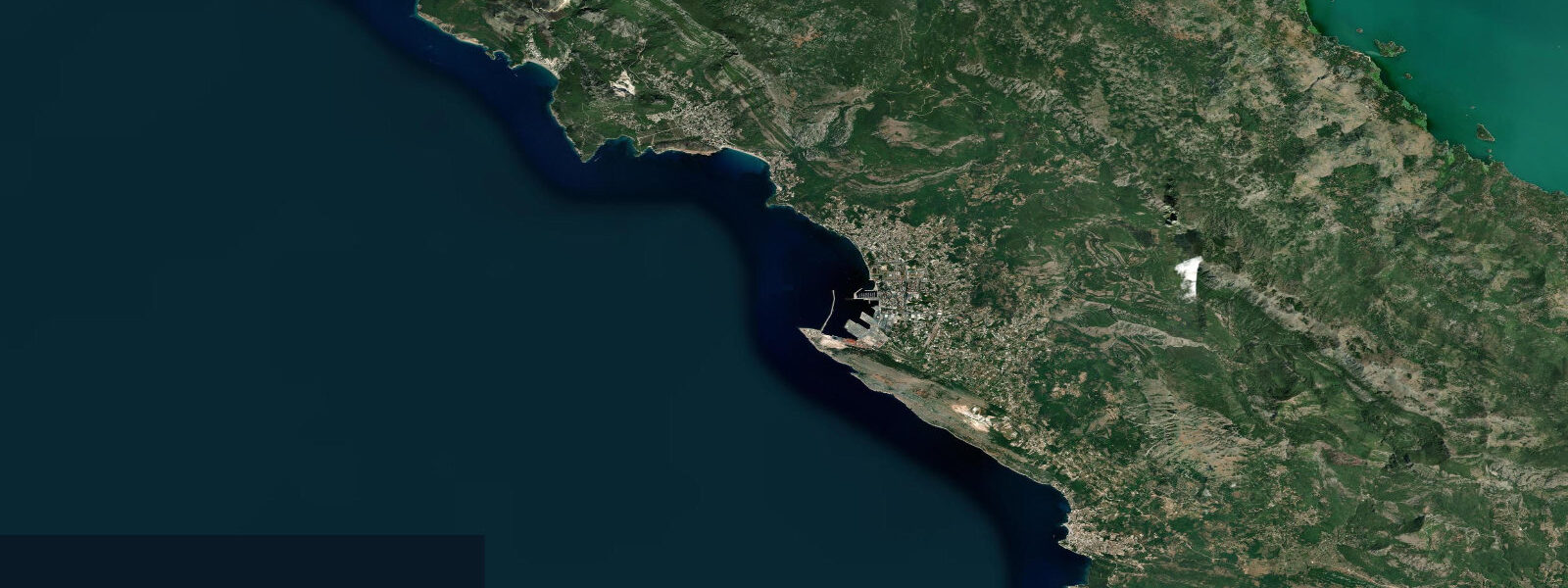
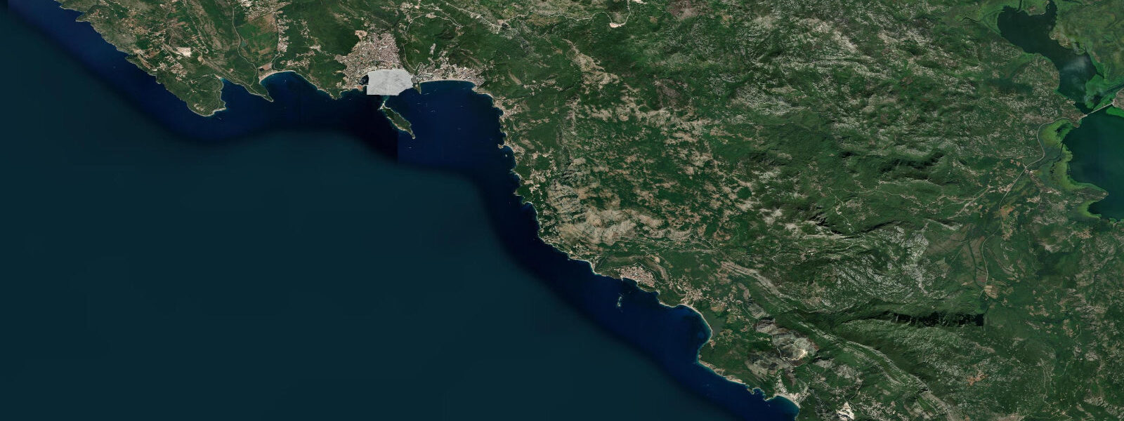
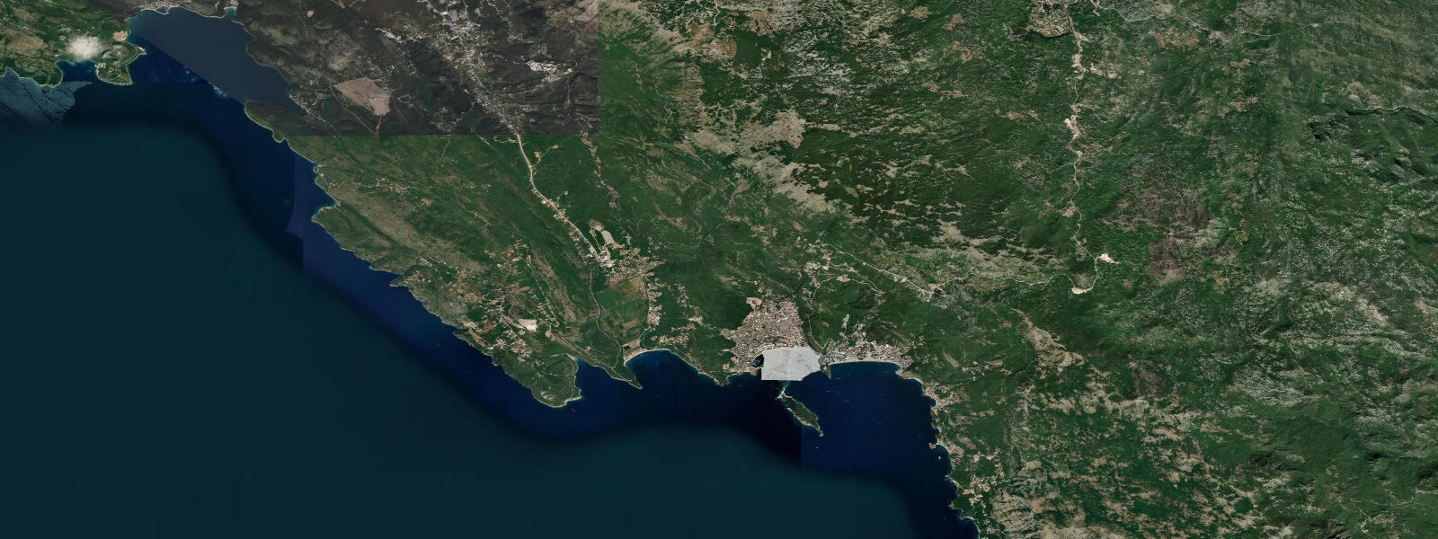
Bar is Montenegro's principal port, the southern terminus of the Belgrade–Bar railway line (inaugurated in 1976 and one of the most technically demanding rail routes in Europe — 435 tunnels and 234 viaducts over 476 km), and the departure point for overnight ferries to Bari on the Italian Adriatic coast. The town itself is a workaday port city: a container terminal, a car ferry terminal, a grain elevator, and the modest urban infrastructure of a country of 600,000 people's main maritime gateway. What draws visitors is not the modern port but the old town 4 km inland — Stari Bar.
Stari Bar is among the most atmospheric medieval ruins on the eastern Adriatic. The walled settlement, built on a steep rock spur above the Mirna valley, was a functioning city from the Roman period through the Ottoman era, taken by Venetian cannon in 1571 when the Ottomans captured it, partially rebuilt, then comprehensively destroyed by the 1979 earthquake that struck the Montenegrin coast. The ruins are now a protected archaeological park: stone walls, collapsed vaulted spaces, an Ottoman aqueduct, several churches, and the extraordinary detail of olive trees — some reportedly over 2,000 years old — growing from the foundations and courtyard floors of structures that no longer have roofs. The largest of these olives, the Stara Maslina, is approximately 10 km from the coast and is claimed to be the oldest olive tree in Montenegro, with a measured trunk girth that supports an age estimate in that range.
The Adriatic at Bar is semidiurnal with a spring range of 0.3 to 0.5 m. The tidal signal is real enough to be noticed in the harbour basin — the water level rises and falls visibly over the day — but modest relative to most Atlantic tidal environments. Low water exposes the rock and rubble apron at the base of the southern quay wall and the rocky foreshore south of the port. Shore anglers on the southern coast road fish the rock shelf for sea bass (brancin), bream (orada), and mullet; the flood tide is the productive window as the rising water pushes baitfish over the exposed shelf. The small islands visible offshore — the islet of Sveti Nikola closest in — offer boat-accessible snorkelling on the Adriatic limestone shelf.
The ferry crossing to Bari takes approximately 9 hours and departs several times weekly, operated by Montenegro Lines and ferry companies on the Italian side; the crossing is essentially due west across the Otranto-approach Adriatic. Timing the departure to Bar port with the tidal state is not operationally critical at this range, but the ferry anchorage south of the main pier is exposed to southerly swell.
Predictions on this page come from Open-Meteo Marine, a gridded global ocean model. Accuracy is typically within plus or minus 45 minutes on timing and 0.2 to 0.3 m on height — at Bar's spring range of 0.3 to 0.5 m, the height uncertainty is a moderate fraction of the total signal. The Croatian Hydrographic Institute (HHI) publishes the most complete set of Adriatic tide tables, including for Montenegrin ports; Bar tide times are typically within a few minutes of the Dubrovnik reference port predictions.
Tide questions about Bar
Quick answers to the most common questions about tide times, range, and water access at Bar.
When is the next high tide at Bar?
The hero block at the top of this page shows the next predicted high at Bar in local Central European Time (CET/CEST, UTC+1/UTC+2). Bar has an Adriatic semidiurnal tide with a spring range of 0.3 to 0.5 m — enough to produce a visible rise and fall in the harbour basin but modest by Atlantic standards. The Croatian Hydrographic Institute (HHI) publishes Adriatic tide tables; Bar's high water typically follows Dubrovnik's by a few minutes on the southward tidal propagation.
What is the tidal range at Bar?
Mean spring range at Bar is 0.3 to 0.5 m — typical for the central-to-southern Adriatic. This range is smaller than the northern Adriatic (Venice/Trieste: up to 1.0 m) because the tidal wave amplifies toward the head of the Adriatic bay. Neap range compresses to 0.1 to 0.2 m. At neap tides in summer the range is barely perceptible. Wind setup from southerly storms (Jugo/Scirocco) can add 0.2 to 0.4 m to the predicted level; the Bora (northeasterly) drains the coast.
Where do these tide predictions come from?
Open-Meteo Marine, a free gridded global ocean model. At Bar's spring range of 0.3 to 0.5 m, the model's typical accuracy (plus or minus 45 minutes, 0.2 to 0.3 m) is a moderate fraction of the total signal. For authoritative Adriatic tide data, the Croatian Hydrographic Institute (HHI) publishes harmonic predictions covering the eastern Adriatic including Montenegrin ports. Dubrovnik is the closest major reference gauge to Bar.
Is Stari Bar worth visiting, and how do I get there?
Stari Bar is one of the more rewarding archaeological sites on the eastern Adriatic coast — the scale of the walled ruin, the atmospheric quality of dereliction colonised by centuries-old olives, and the setting on a rock spur above the Mirna valley make it genuinely distinctive. It is 4 km from the modern port town by road; local taxis and buses run the route. The site is accessible year-round; summer afternoons are hot on the exposed rock — morning or evening is more comfortable. The Stara Maslina olive tree (the claimed 2,000-year-old specimen) is in the village of Mirovica, approximately 10 km from Bar by the inland road.
Is this safe to use for navigation?
No. TideTurtle is a planning tool for recreational coastal activity, not a navigation resource. Bar is Montenegro's main commercial port with active ferry and cargo traffic; approach requires standard chart navigation. The Croatian Hydrographic Institute (HHI) publishes charts and Notices to Mariners for the eastern Adriatic including Montenegrin territorial waters. Open-Meteo Marine gridded predictions do not replace authoritative navigation sources for vessel operations.
8-day tide table — Bar
Heights relative to MSL. Predictions: Open-Meteo Marine (MeteoFrance SMOC, 0.08° grid) — heights relative to MSL (not chart datum / LAT). Model-derived.
| Day | Type | Time | Height |
|---|---|---|---|
| Sat 04 Jul | Low | 02:00 | -0.7m |
| High | 06:50 | -0.5m | |
| Sun 05 Jul | Low | 01:15 | -0.7m |
| Mon 06 Jul | — | ||
| Tue 07 Jul | — | ||
| Wed 08 Jul | — | ||
| Thu 09 Jul | — | ||
| Fri 10 Jul | — | ||
| Sat 11 Jul | High | 01:00 | -0.5m |