Petrovac tide times
Petrovac tide forecast — heights relative to MSL.
Today's tide times for Petrovac
Tide times at Petrovac on Sunday, 21 June 2026: first low tide at 03:00am, first high tide at 10:00am. Sunrise 05:07am, sunset 08:23pm.
Tide chart for Petrovac
24-hour cosine-interpolated curve around the present moment. Heights relative to MSL. Predictions: Predictions: Open-Meteo Marine (MeteoFrance SMOC, 0.08° grid).
Sun, moon and conditions on Sun 21 Jun
Snapshot at build time — refreshes daily. Sea state from Open-Meteo Marine.
Highs and lows next 7 days
Every predicted high and low for the next week, with the daily tidal coefficient (0–120; higher = bigger swing, > 95 means stronger currents).
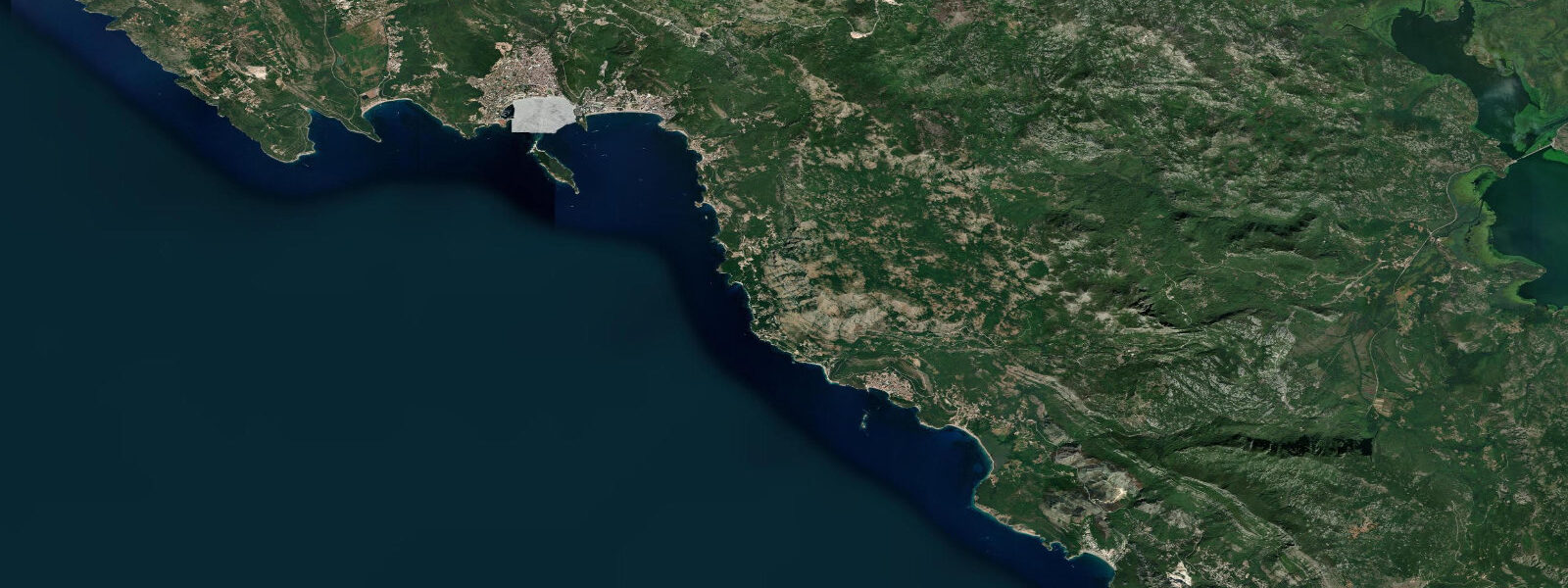
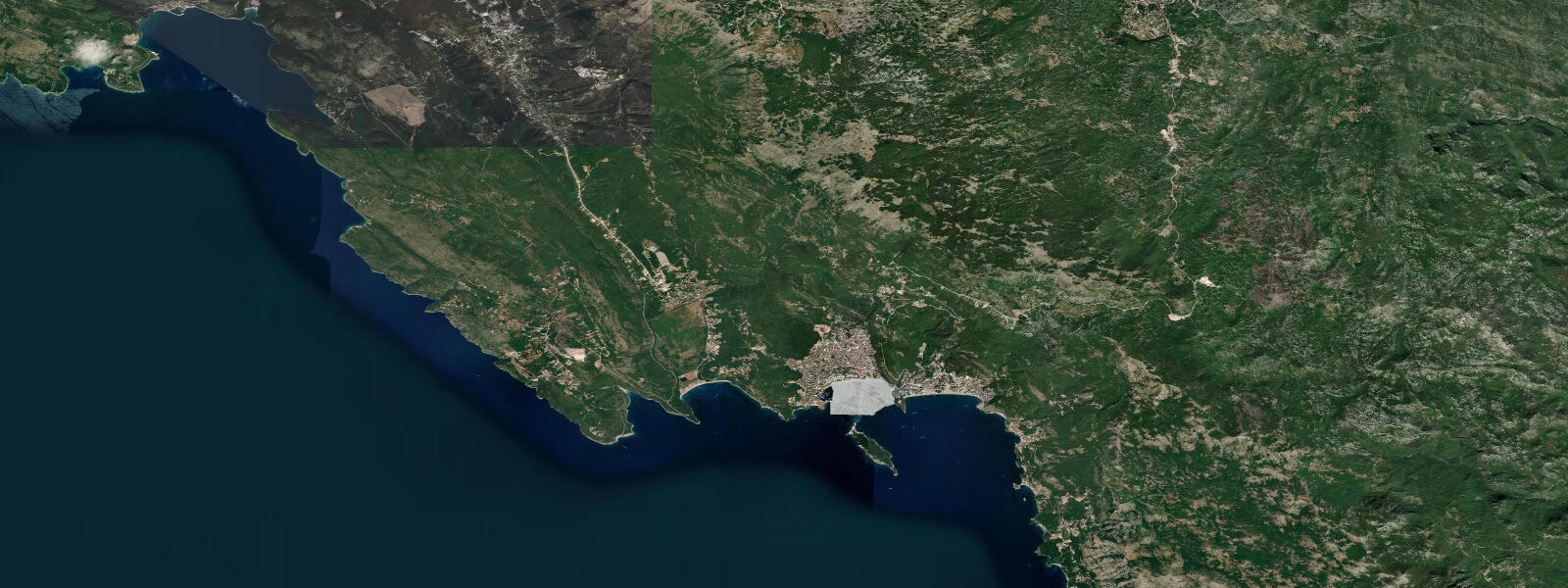
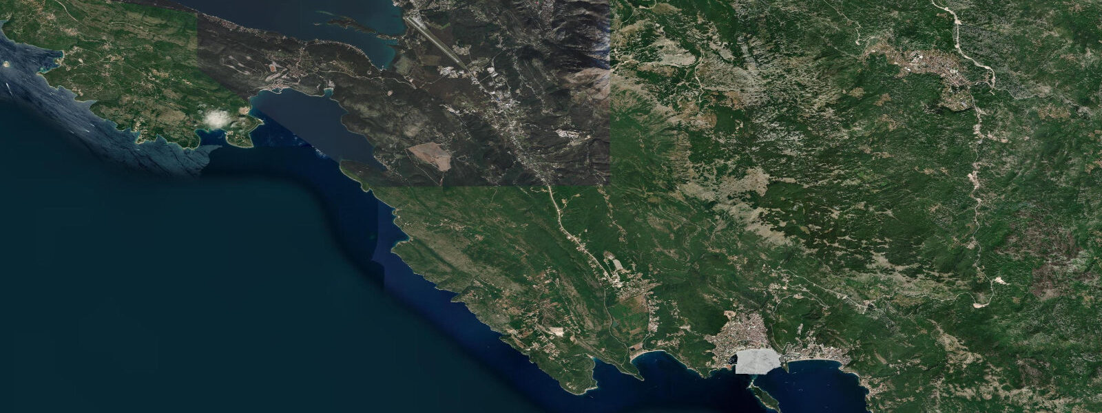
Other spots nearby
The three closest curated TideTurtle locations to Petrovac, measured by great-circle distance.
Today's solunar windows
Solunar tradition: major periods are the ≈3h windows around moon transit and opposition; minor are ≈2h around moonrise and moonset. Pair with the local tide stage and wind for the best read.
About tides at Petrovac
A short guide to the coastline at Petrovac — geography, sea state, and what the tide is actually doing under your feet.
Petrovac is the southernmost main resort on the Budva Riviera, 20 kilometres south of Budva along the M2 coastal highway. The town occupies the landward side of a small headland between two coves: the main Petrovac Beach to the north-west, and the smaller Lučice cove immediately south. The Castello fortress, a Venetian-era structure from the 16th century, occupies the headland between them and today houses a restaurant rather than a garrison.
The orientation of the Petrovac bay is slightly more south-facing than Budva, which gives it marginally more swell exposure from the south-east but also more shelter from the Adriatic north-westerly in summer. The scale of Petrovac is deliberately smaller than Budva or Bečić Beach: the resort has developed selectively without the high-rise hotel wall that defines the larger resorts to the north, and the result is a lower density, quieter pace through most of the season. Families with children find the bay's gentle slope and relatively flat summer sea-state more comfortable than the larger exposed beaches further north.
Two small islands sit offshore in the bay in full view of the main beach: Katič, approximately 30 metres across, and the slightly larger Sveta Nedjelja (Holy Sunday), which holds the ruins of a Benedictine monastery dating to the 12th century and partially rebuilt. Both islands are accessible by short boat transfer from the beach; Katič is a popular platform dive and snorkel site. 2 metres.
Two highs and two lows per day, times varying by roughly 30 to 50 minutes relative to Dubrovnik on the Croatian coast 60 kilometres north. The Croatian Hydrographic Institute (HHI) provides the regional harmonic reference. The small tidal range means the beach width changes modestly between high and low — perhaps 3 to 6 metres at the widest point of the pebble and coarse sand beach — and the inshore water depth over the sandy bottom inside the bay changes by the same vertical interval.
The jugo is the dominant water-level and wave driver as at all Budva Riviera locations. 5 metres on the beach after a two-day wind run; the cove geometry provides slightly more shelter than the open Bečić Beach, but the south-east orientation means the jugo fetch is directly into the bay. The bora blows cold and offshore from the north-east; at Petrovac the headland geometry channels the bora differently from the exposed northern beaches and can produce local wind patterns that differ from the broader coastal forecast by 20 to 30 degrees.
The Ropotamo Nature Reserve begins immediately south of Petrovac, separating the resort from the small villages toward the Turkish border. The Ropotamo River, navigable for 3 kilometres upstream from its Adriatic mouth, passes through a protected wetland of reed beds, lotus, and gallery forest; river boat tours from the Ropotamo mouth are a standard half-day activity from Petrovac, operating May through October. The river mouth itself has a small sandy beach visible from the coastal road.
Shore anglers working from the southern jetties and the rocky points around Lučice cove target sea bream, sea bass, and garfish (Belone belone) in summer. The incoming tide — flood from low toward high — is the traditional preferred window over the rocky substrate. Predictions on this page come from Open-Meteo Marine, a gridded global ocean model.
3 metres on height.
Tide questions about Petrovac
Quick answers to the most common questions about tide times, range, and water access at Petrovac.
When is the next high tide at Petrovac?
The hero block at the top of this page shows the next predicted high at Petrovac in local Central European Time (CET/CEST, UTC+1/UTC+2). Spring range is approximately 0.4 to 0.5 metres — the standard open eastern Adriatic semidiurnal signal, closely comparable to Budva 20 kilometres north and to Dubrovnik 60 kilometres north in Croatia. The Croatian Hydrographic Institute (HHI) publishes the authoritative harmonic data for this section of the Adriatic. On-page predictions come from Open-Meteo Marine, a gridded global ocean model; accuracy is typically within plus or minus 45 minutes and 0.2 to 0.3 metres.
Can I visit the Benedictine monastery island of Sveta Nedjelja?
Sveta Nedjelja island is accessible by boat from Petrovac Beach; informal boat transfers operate in season (June to September) from the beach for a small fee, typically 5 to 10 euros per person return. The island holds the partial ruins of a 12th-century Benedictine monastery; the walls and the apse of the church survive. The island is small enough to walk entirely in 15 minutes. The smaller Katič island nearby has no structure but is a popular snorkel and free-dive site; the rocky base holds sea bream, wrasse, and grouper. Neither island has a permanent landing stage, and access in any significant swell (above 0.5 metres) is impractical. The small tidal range means access timing is irrelevant to the boat landing.
What is the Ropotamo River and how do I visit?
The Ropotamo River flows into the Adriatic approximately 8 kilometres south of Petrovac. The Ropotamo Nature Reserve protects the river's lower 3 kilometres, a coastal wetland of reed beds, lotus-covered water, sand dunes, and gallery forest. River boat tours operate from the river mouth daily from May through October; the trip takes 45 to 60 minutes upstream through the reed corridor and back. The river is tidal for the first few hundred metres from the Adriatic mouth — a negligible effect given the 0.4 to 0.5 metre tidal range — and the water upstream is fresh. The reserve is also an important bird habitat on the Via Pontica migration route; herons, cormorants, and kingfishers are resident. Tour operators with boats at the Ropotamo parking area offer tours throughout the day without prior booking in season.
How does the cove geometry affect sea conditions at Petrovac compared with Budva?
Petrovac bay faces slightly more south-east than Budva's main beaches, which means the jugo (south-easterly) swell has a direct angle into the bay and builds a comparable wave height on the beach after a sustained wind run. The bay's semicircular geometry and the headland with the Castello fortress provide slightly more wrap-around shelter than the long open arc of Bečić Beach, and the fetch inside the bay is shorter. In practice, swell differences between Petrovac and Budva on a given jugo day are small — both coasts are within the same 20-kilometre stretch of open Adriatic exposure. For genuinely flat water in any wind condition, the Bay of Kotor (Herceg Novi, Tivat, Kotor) is the consistent choice.
Where do these tide predictions come from?
Open-Meteo Marine, a free gridded global ocean model. The model estimates tidal height from oceanographic equations applied across a geographic grid rather than from harmonic analysis of a local gauge. Accuracy is typically within plus or minus 45 minutes on timing and 0.2 to 0.3 metres on height. For Petrovac's spring range of 0.4 to 0.5 metres, that uncertainty is a significant fraction of the total signal. The Croatian Hydrographic Institute (HHI) is the authoritative harmonic reference for the eastern Adriatic and provides the closest calibrated reference data for this coast. This page is not suitable for navigation.
8-day tide table — Petrovac
Heights relative to MSL. Predictions: Open-Meteo Marine (MeteoFrance SMOC, 0.08° grid) — heights relative to MSL (not chart datum / LAT). Model-derived.
| Day | Type | Time | Height |
|---|---|---|---|
| Sun 21 Jun | Low | 03:00 | -0.7m |
| High | 10:00 | -0.6m | |
| Mon 22 Jun | Low | 03:50 | -0.7m |
| Tue 23 Jun | High | 12:50 | -0.4m |
| Low | 20:00 | -0.6m | |
| Wed 24 Jun | — | ||
| Thu 25 Jun | High | 01:00 | -0.6m |
| Low | 07:00 | -0.6m | |
| High | 14:00 | -0.4m | |
| Low | 21:00 | -0.6m | |
| Fri 26 Jun | — | ||
| Sat 27 Jun | High | 03:00 | -0.5m |
| Low | 08:00 | -0.6m | |
| High | 15:00 | -0.3m | |
| Low | 22:10 | -0.6m | |
| Sun 28 Jun | High | 01:00 | -0.5m |