Sveti Stefan tide times
Sveti Stefan tide forecast — heights relative to MSL.
Today's tide times for Sveti Stefan
Tide times at Sveti Stefan on Sunday, 21 June 2026: first low tide at 03:00am, first high tide at 10:00am, second low tide at 03:00pm. Sunrise 05:07am, sunset 08:24pm.
Tide chart for Sveti Stefan
24-hour cosine-interpolated curve around the present moment. Heights relative to MSL. Predictions: Predictions: Open-Meteo Marine (MeteoFrance SMOC, 0.08° grid).
Sun, moon and conditions on Sun 21 Jun
Snapshot at build time — refreshes daily. Sea state from Open-Meteo Marine.
Highs and lows next 7 days
Every predicted high and low for the next week, with the daily tidal coefficient (0–120; higher = bigger swing, > 95 means stronger currents).
Other spots nearby
The three closest curated TideTurtle locations to Sveti Stefan, measured by great-circle distance.
Today's solunar windows
Solunar tradition: major periods are the ≈3h windows around moon transit and opposition; minor are ≈2h around moonrise and moonset. Pair with the local tide stage and wind for the best read.
About tides at Sveti Stefan
A short guide to the coastline at Sveti Stefan — geography, sea state, and what the tide is actually doing under your feet.
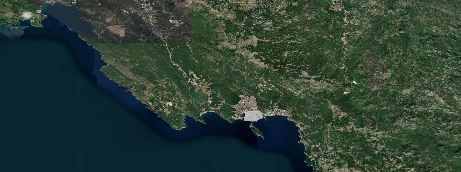
Sveti Stefan is an islet 6 kilometres south of Budva, connected to the mainland by a narrow natural tombolo — a sand bar formed by the longshore drift of the Adriatic depositing material in the lee of the islet's rocky core. The tombolo is narrow enough that a person can stand on its crest and look south-east down the Adriatic on one side and north-west into the more sheltered bight on the other. The islet itself is small — perhaps 200 metres at its widest — and since 1960 has been occupied entirely by the Sveti Stefan hotel, which became the Aman Sveti Stefan resort from 2008 onward.
The stone houses, lanes, and the small church of Sveti Stefan (St. Stephen) have been converted into guest suites; access to the islet and its surrounding private beaches is restricted to registered hotel guests and members. The public beaches on both sides of the tombolo — Sveti Stefan North and Sveti Stefan South — are accessible without charge from the mainland road and serve the considerable number of visitors who come to photograph the islet rather than stay on it.
The most reproduced photograph of Montenegro is taken from the clifftop road above Sveti Stefan: the red-tiled rooftops of the stone village on the islet, surrounded by turquoise and deep-blue water, with the limestone hills of the Adriatic coast receding south. The angle works in both morning and afternoon light but peaks in the golden hour before sunset from the northern clifftop viewpoint. There is a small layby on the M2 coastal road approximately 300 metres north of the tombolo access gate; from the layby a short footpath leads to the viewpoint.
5 metres. The tombolo itself remains exposed at all states of the tide; the tidal range is far too small to flood the sand bar. This is an important practical point for visitors who might wonder about access timing: the tombolo is always dry, access is always available from the shore, and the tide does not affect the gate schedule in any way.
What the tide does at Sveti Stefan is shift the water's edge on the two public beaches by a few metres. At low water, the north beach reveals a wider flat of coarse sand and the rocky base of the tombolo becomes more accessible to snorkellers and shore anglers. At high water, the beach narrows and the water comes closer to the base of the seawall below the islet.
The south beach is slightly more exposed to south-easterly swell from the open Adriatic and can build short shore-break after a jugo period; the south beach is also more isolated, with fewer visitors and a longer walk from the parking area. The north beach sits in a more sheltered bight and is the calmer swimming option when any south component is in the wind. Underwater visibility from both beaches in calm conditions is good — 5 to 10 metres or more over the sandy patches between the limestone reefs — and the rocky base of the islet holds sea bream, wrasse, and moray eels accessible to snorkellers who swim 20 to 30 metres from the beach.
The combination of snorkelling quality, photographic appeal, and the quiet beach atmosphere distinguishes Sveti Stefan from the busier and more commercial Bečić stretch 4 kilometres to the north. Car parking at the north beach access point fills early in July and August; arriving before 09:00 or after 17:00 is more reliable. Predictions on this page come from Open-Meteo Marine, a gridded global ocean model.
3 metres on height. For the eastern Adriatic, the Croatian Hydrographic Institute (HHI) provides the authoritative harmonic reference.
Tide questions about Sveti Stefan
Quick answers to the most common questions about tide times, range, and water access at Sveti Stefan.
When is the next high tide at Sveti Stefan?
The hero block at the top of this page shows the next predicted high at Sveti Stefan in local Central European Time (CET/CEST, UTC+1/UTC+2). Spring tidal range here is approximately 0.4 to 0.5 metres — the standard eastern Adriatic semidiurnal signal. The tombolo connecting the islet to the mainland is exposed at all states of the tide; the tidal range is too small to flood the sand bar at any point in the cycle. What changes between high and low is the width of the two public beaches on either side of the tombolo and the access to the rocky base of the islet for snorkellers.
Can visitors access the islet and stay at the Aman Sveti Stefan?
The islet and its surrounding private beaches are reserved exclusively for registered guests of the Aman Sveti Stefan resort and members of the associated club. The guest accommodation comprises suites converted from the original stone houses of the village; rates are in the highest tier of European hotel pricing. Day visitors and non-guests may not cross the gate on the tombolo to the islet. The two public beaches on either side of the tombolo — accessible from the main Budva–Bar coastal road — are open to all and provide the view of the islet for which Sveti Stefan is famous. There is a small parking area and a cluster of beach cafes at the northern public beach access point.
Where is the best viewpoint to photograph Sveti Stefan?
The most widely published viewpoint is from the clifftop road (M2 coastal highway) approximately 300 metres north of the tombolo access point, from a layby and informal viewpoint on the eastern side of the road. The elevation above the islet is roughly 60 to 80 metres; the framing from here captures the full islet with the open Adriatic behind it and the hills of the Riviera receding south. Late afternoon — typically 17:00 to 19:00 in summer — gives direct warm light on the red rooftops. The light from the northeast in the morning hours illuminates the back wall of the islet facing the mainland; the late-afternoon position from the north clifftop gives the frontal view over the south-facing facades. No tripod is needed in summer light; the layby is accessible without leaving the road.
What is snorkelling like at Sveti Stefan?
The rocky base of the Sveti Stefan islet provides structure that supports a typical eastern Adriatic rocky reef community: sea bream (Sparus aurata, Diplodus spp.), wrasse (Labridae), octopus, and moray eels in the deeper crevices. Visibility on calm days runs 5 to 12 metres depending on swell and recent wind; after a jugo the water on the south side is murkier for a day or two as the swell stirs fine sediment. The north beach and the northern flank of the islet are the calmer entry points. Snorkellers need only basic gear — the rocky reef drops to 3 to 6 metres within 20 to 30 metres of the beach. No boat or guide is required. Entry from the north beach at low water gives slightly better access to the base of the rocks where the limestone substrate is not covered by sand.
Where do these tide predictions come from?
Open-Meteo Marine, a free gridded global ocean model. The model estimates tidal height from oceanographic equations across a geographic grid. Accuracy is typically within plus or minus 45 minutes on timing and 0.2 to 0.3 metres on height. At Sveti Stefan's spring range of 0.4 to 0.5 metres, the model uncertainty covers a large fraction of the total predicted signal. The Croatian Hydrographic Institute (HHI) is the authoritative harmonic reference for this section of the eastern Adriatic. This page is not suitable for navigation.
8-day tide table — Sveti Stefan
Heights relative to MSL. Predictions: Open-Meteo Marine (MeteoFrance SMOC, 0.08° grid) — heights relative to MSL (not chart datum / LAT). Model-derived.
| Day | Type | Time | Height |
|---|---|---|---|
| Sun 21 Jun | Low | 03:00 | -0.7m |
| High | 10:00 | -0.6m | |
| Low | 15:00 | -0.6m | |
| Mon 22 Jun | High | 12:00 | -0.5m |
| Tue 23 Jun | — | ||
| Wed 24 Jun | Low | 06:00 | -0.6m |
| Thu 25 Jun | High | 14:10 | -0.4m |
| Fri 26 Jun | Low | 07:10 | -0.6m |
| Sat 27 Jun | High | 02:50 | -0.5m |
| Low | 08:10 | -0.6m | |
| High | 15:00 | -0.3m | |
| Low | 22:00 | -0.6m | |
| Sun 28 Jun | High | 01:00 | -0.5m |