Batu Ferringhi, Penang tide times
Batu Ferringhi, Penang tide forecast — heights relative to MSL.
Today's tide times for Batu Ferringhi, Penang
Tide times at Batu Ferringhi, Penang on Friday, 19 June 2026: first high tide at 08:00am, first low tide at 10:15am, second high tide at 03:50pm, second low tide at 10:54pm. Sunrise 07:06am, sunset 07:32pm.
Tide chart for Batu Ferringhi, Penang
24-hour cosine-interpolated curve around the present moment. Heights relative to MSL. Predictions: Predictions: Open-Meteo Marine (MeteoFrance SMOC, 0.08° grid).
Sun, moon and conditions on Fri 19 Jun
Snapshot at build time — refreshes daily. Sea state from Open-Meteo Marine.
Highs and lows next 7 days
Every predicted high and low for the next week, with the daily tidal coefficient (0–120; higher = bigger swing, > 95 means stronger currents).
Other spots nearby
The three closest curated TideTurtle locations to Batu Ferringhi, Penang, measured by great-circle distance.
Today's solunar windows
Solunar tradition: major periods are the ≈3h windows around moon transit and opposition; minor are ≈2h around moonrise and moonset. Pair with the local tide stage and wind for the best read.
Cycle dates near Batu Ferringhi, Penang
Last spring tide on Fri 19 Jun (range 1.7m). Next neap on Thu 25 Jun.
Spring tides cluster around new and full moons (biggest swings). Neap tides land on quarter moons (smallest swings). See the spring tide and neap tide glossary entries for the why.
About tides at Batu Ferringhi, Penang
A short guide to the coastline at Batu Ferringhi, Penang — geography, sea state, and what the tide is actually doing under your feet.
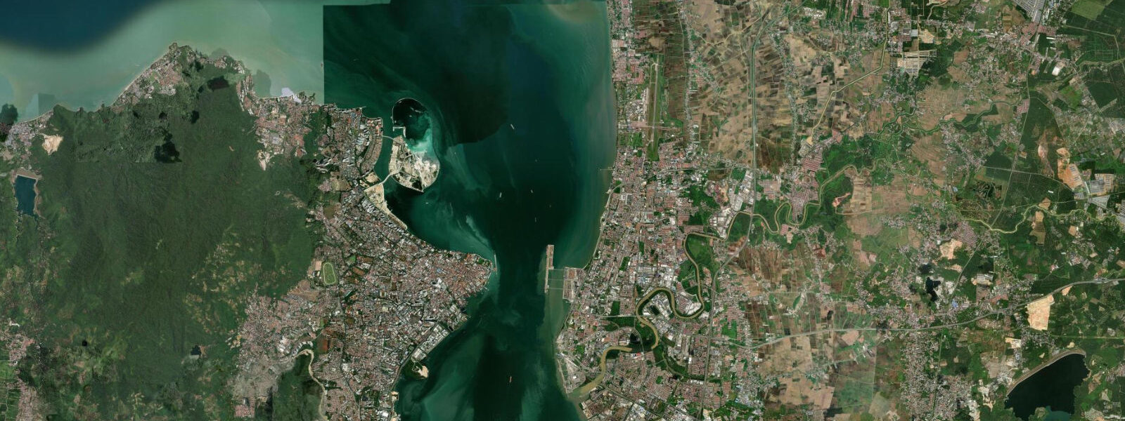
Batu Ferringhi sits on the northwest coast of Penang Island, 16 km from George Town, where four kilometres of sand run between two rocky headlands at the edge of the Strait of Malacca. The strait narrows here between Penang Island and the Malay Peninsula, and that geometry shapes everything about how the tide behaves.
The Strait of Malacca runs a diurnal-dominated tidal regime — one main high water and one main low water per day, with a secondary cycle of much smaller magnitude superimposed on top. The dominant 24-hour rhythm is what determines when the beach is wide and when it is not. On a spring tide the water level range runs 2.5 to 3.5 m from low to high, and that vertical movement translates directly into horizontal beach width: between low and high spring water, the beach face here widens and narrows by 80 to 120 m. At low spring water you are standing on sand that was submerged waist-deep three or four hours earlier. At high spring water the sea reaches close to the sea wall and the beach narrows to a strip.
Practical effect for beach visits: the best time to arrive on foot is the two hours either side of low water. The sand is widest, the water is calm at the edge, and there is room to walk the full length of the beach without being pushed into the shade of the sea wall. Families with small children do well to check the tide window before heading down — a receding tide in the early morning or late afternoon, when air temperature drops slightly, is the most comfortable combination.
Fishermen working this stretch know the tidal rhythm well. Cast-net fishing from the beach is most productive on the flood, when baitfish push in with the rising water. The headlands at each end of the beach trap fish at low water in the rock pools that emerge as the tide falls. The rocky southern headland, visible from the beach road, exposes entirely at low spring water — a short scramble across the rocks gives access to undisturbed patches that most visitors never reach.
The beach changes character sharply with the monsoon. From October to March the northeast monsoon pushes swell and turbid water into the northwest-facing bay, and Batu Ferringhi stops looking like a resort beach and starts looking like a working coast. Conditions on rough monsoon days — steep shore break, suspended sediment in the water, onshore wind — make swimming inadvisable. The parasailing, jet ski, and banana boat operators who set up between the headlands during the dry season pack down on rough days. On the calmer weather windows that occur even within the monsoon period the beach is operational, but you need to check the conditions on the morning rather than booking ahead. From April to September the southwest monsoon brings calmer water and the beach reads as advertised in the brochures.
The Batu Ferringhi hawker market runs nightly along the beach road, starting at dusk regardless of tidal state. It's the one constant. The stalls run from the roundabout at the eastern end of the strip to near the Hard Rock Hotel, and the evening crowd peaks around 21:00. Coming off a late-afternoon low tide, with a beach walk timed for the golden hour and dinner at the market, is the most straightforward itinerary for a first visit.
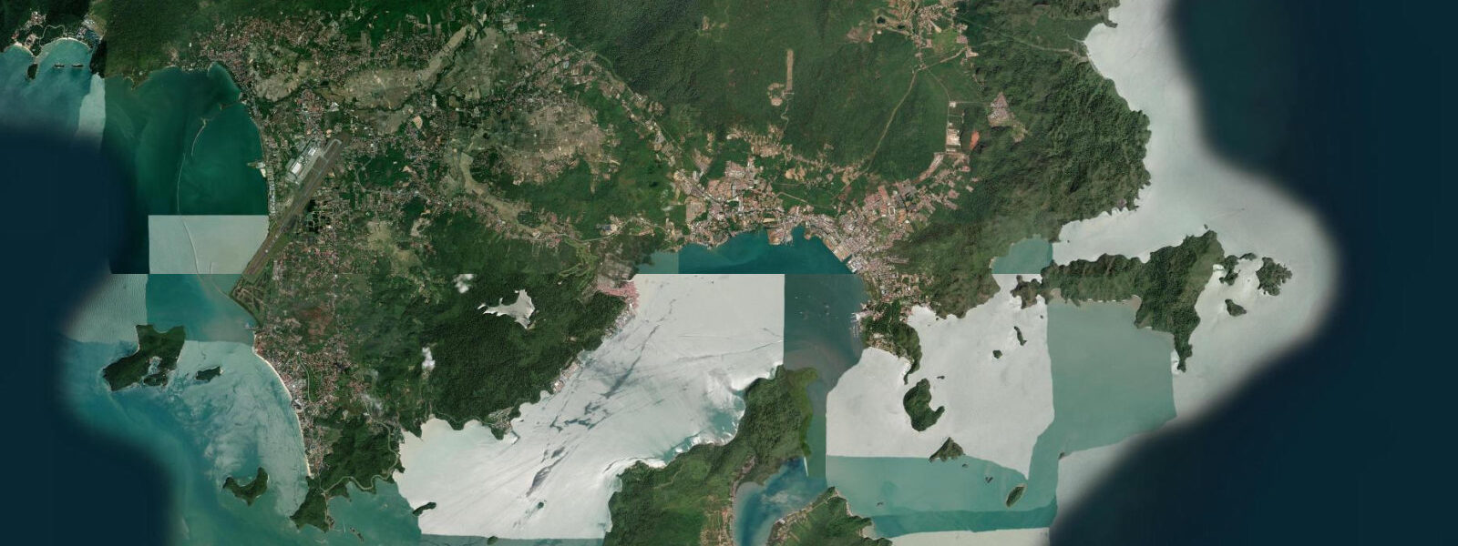
Photographers working this stretch for coastal and landscape work: the low-water mudflats at the headlands catch reflected light differently than open sand — the wet surface gives a mirror quality for 20 minutes after the tide turns. Penang Hill is visible inland to the southeast at around 833 m elevation, often catching afternoon cloud. To the west, Penang National Park occupies the undeveloped tip of the island 8 km away; the hills of the park form the backdrop on the western end of the beach. The contrast between the developed resort strip and the forested national park visible from the same beach is one of Penang's more striking juxtapositions.
SUP and sea kayak paddlers: the bay is sheltered by both headlands, making it manageable for flatwater paddlers during the dry season. Paddle at high water or on the flood for the most forgiving surface — at low spring water, exposed rock and shallow patches near the headlands require care. Stay inside the headlands; the open strait beyond sees commercial vessel traffic.
Tide data for Batu Ferringhi, Penang comes from the Open-Meteo Marine API, a gridded model product. Timing accuracy is ±45 minutes, height accuracy ±0.3 m — usable for trip planning, not for navigation.
Tide questions about Batu Ferringhi, Penang
Quick answers to the most common questions about tide times, range, and water access at Batu Ferringhi, Penang.
When is the best time to visit Batu Ferringhi beach for the widest sand?
Aim for the two hours around low water on a spring tide. The Strait of Malacca runs a diurnal tidal regime, so there is typically one main low tide per day. On a spring low the water drops 2.5 to 3.5 m from the high, and the beach widens by 80 to 120 m compared to high water. Check the tide table the evening before — a morning low around 07:00 to 09:00 pairs well with cooler air and better light for photographers. The Open-Meteo tide times carry a ±45-minute margin, so build some buffer into your plan.
Is Batu Ferringhi safe for swimming during the northeast monsoon?
Generally not on rough days between October and March. The northeast monsoon drives swell and turbid water directly into the northwest-facing bay. Shore break becomes steep, visibility drops, and currents strengthen near the headlands. The beach operators — parasailing, jet ski, banana boats — suspend activities on rough days, which is a reliable on-the-ground indicator. On calm weather windows within the monsoon period swimming is possible, but conditions vary day to day. Check the beach in the morning before committing. April through September, when the southwest monsoon shelters the bay, is the reliable window for water activities.
How do the tides affect water sports bookings at Batu Ferringhi?
Most jet ski and parasailing operators work on the high and rising tide — there is more water depth close to shore, and the beach is narrower so the equipment launch area is smaller and easier to manage. At low spring water the operators may be working further from the sea wall. Banana boat rides need a minimum depth of around 0.5 to 1.0 m to turn safely, so very low tides can reduce the available operating area. Book activities in the late morning or early afternoon, when the tide is typically rising, and confirm with the operator on the day whether any tidal constraints apply to their specific setup.
What can I access at low tide that is underwater at high tide near Batu Ferringhi?
The rocky headlands at both ends of the 4 km beach expose substantially at low spring water. The southern headland in particular reveals a platform of rock that is submerged at high tide — accessible via a short scramble from the beach end and worth exploring for rock pools, small crabs, and the occasional octopus. The northern headland similarly exposes a rocky shelf. In the middle of the beach, low water reveals bands of firm compacted sand extending 80 to 120 m from the normal high-water line — good for beach cricket, walking, or photography without being crowded by the resort infrastructure immediately above.
Can I walk to Penang National Park from Batu Ferringhi at low tide?
Not along the shoreline — the coast between Batu Ferringhi and the national park boundary, about 8 km west, is interrupted by several headlands and private resort boundaries. The route to Penang National Park is by road or by catching a taxi or Grab to Teluk Bahang, the fishing village at the park entrance. The coastal trail into the park starts from Teluk Bahang, not from Batu Ferringhi beach. That said, low water at Batu Ferringhi's own headlands gives access to the rocky shoreline on either side of the main beach — worthwhile in itself, even if it does not extend all the way to the park.
8-day tide table �— Batu Ferringhi, Penang
Heights relative to MSL. Predictions: Open-Meteo Marine (MeteoFrance SMOC, 0.08° grid) — heights relative to MSL (not chart datum / LAT). Model-derived.
| Day | Type | Time | Height |
|---|---|---|---|
| Fri 19 Jun | High | 08:00 | 0.6m |
| Low | 10:15 | 0.3m | |
| High | 15:50 | 1.4m | |
| Low | 22:54 | -0.3m | |
| Sat 20 Jun | High | 05:18 | 1.1m |
| Low | 10:54 | 0.4m | |
| High | 16:39 | 1.3m | |
| Low | 23:36 | -0.2m | |
| Sun 21 Jun | High | 06:15 | 1.0m |
| Mon 22 Jun | Low | 00:06 | -0.0m |
| High | 07:05 | 1.1m | |
| Low | 12:48 | 0.5m | |
| High | 18:15 | 1.0m | |
| Tue 23 Jun | Low | 00:50 | 0.1m |
| High | 07:55 | 1.1m | |
| Wed 24 Jun | Low | 01:52 | 0.2m |
| High | 08:54 | 1.1m | |
| Low | 15:54 | 0.5m | |
| High | 20:50 | 0.7m | |
| Thu 25 Jun | Low | 02:56 | 0.3m |
| High | 09:54 | 1.1m | |
| Low | 16:54 | 0.3m | |
| High | 22:10 | 0.7m | |
| Fri 26 Jun | Low | 04:00 | 0.3m |
| High | 07:00 | 0.6m |