Nosy Be, Madagascar tide times
Nosy Be, Madagascar tide forecast — heights relative to MSL.
Today's tide times for Nosy Be, Madagascar
Tide times at Nosy Be, Madagascar on Friday, 19 June 2026: first low tide at 03:00am, first high tide at 06:31am, second low tide at 12:33pm, second high tide at 06:51pm. Sunrise 06:07am, sunset 05:28pm.
Tide chart for Nosy Be, Madagascar
24-hour cosine-interpolated curve around the present moment. Heights relative to MSL. Predictions: Predictions: Open-Meteo Marine (MeteoFrance SMOC, 0.08° grid).
Sun, moon and conditions on Fri 19 Jun
Snapshot at build time — refreshes daily. Sea state from Open-Meteo Marine.
Highs and lows next 7 days
Every predicted high and low for the next week, with the daily tidal coefficient (0–120; higher = bigger swing, > 95 means stronger currents).
Other spots nearby
The three closest curated TideTurtle locations to Nosy Be, Madagascar, measured by great-circle distance.
Today's solunar windows
Solunar tradition: major periods are the ≈3h windows around moon transit and opposition; minor are ≈2h around moonrise and moonset. Pair with the local tide stage and wind for the best read.
Cycle dates near Nosy Be, Madagascar
Last spring tide on Fri 19 Jun (range 2.8m). Next neap on Wed 24 Jun.
Spring tides cluster around new and full moons (biggest swings). Neap tides land on quarter moons (smallest swings). See the spring tide and neap tide glossary entries for the why.
About tides at Nosy Be, Madagascar
A short guide to the coastline at Nosy Be, Madagascar — geography, sea state, and what the tide is actually doing under your feet.
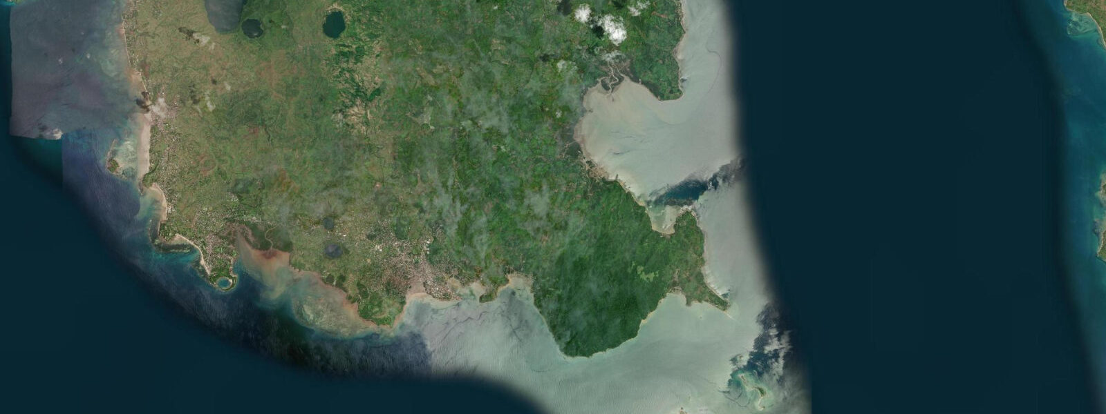
Nosy Be — "Big Island" in Malagasy — sits in the northern Mozambique Channel roughly 8 km off Madagascar's northwest coast. The island is the country's most visited coastal destination, and the tides that shape its beaches and passages are among the more dramatic in the Indian Ocean. This is a mixed semidiurnal coast: two highs and two lows per day, with the two cycles unequal in height. Mean spring range on the northwest Malagasy coast runs 2.5–4.0 m, amplified by the complex bathymetry of the Mozambique Channel as the tidal wave refracts around the Comoros and compresses against the shallowing shelf.
On the southwest coast of Nosy Be — where Ambatoloaka Beach and Madirokely Beach face the channel — the practical effect is immediate. At mean low spring water, the dry beach extends 100–150 m beyond the normal waterline. Tidal flats firm enough to walk emerge at the south end of Ambatoloaka. At high spring water, the sea reaches the first row of beach-front structures and the fringing reef at Madirokely becomes wading depth over its shallowest heads. Andilana Beach on the island's northern tip faces more open water; the same spring range applies but the reef geometry there keeps more water on the flat even at low water, making it more consistently swimmable across the tidal cycle. For snorkelling the reef at Andilana, timing a visit to incoming mid-tide gives the best water clarity and depth over the coral without the current surge that comes at full spring flood.
The passage between Nosy Be and the mainland coast of Madagascar is navigable for local pirogues at all tidal states, but the current through the main passes runs 1–3 knots on spring tides. Experienced pirogue operators read the tide to make the crossing favourable — going with the flood or ebb rather than across it. The visible current lines in the blue-green water are a practical indicator: when white foam streaks appear on the surface and the water colour sharpens from turquoise to deep blue at the channel edge, the tide is running hard through the gap. Allow an extra 20–30 minutes if crossing against a spring ebb.
Nosy Be is the base for whale shark encounters from October through December, when Rhincodon typus aggregates in the Mozambique Channel. The aggregation follows the bait-fish bloom that occurs as the monsoon season transitions. Dive operators in Hell-Ville (the main town, formally known as Andoany) organise day trips by fast boat to the whale shark zone; typical departure is 06:30 from the Hell-Ville jetty, with sightings most reliable in November when the aggregation is densest. Water visibility at whale shark sites is 15–25 m on calm days. From June through September the same offshore waters host humpback whale (Megaptera novaeangliae) migrations — the whales use the Mozambique Channel as a calving and mating ground and are frequently visible from shore on calm days as distant blow spouts.
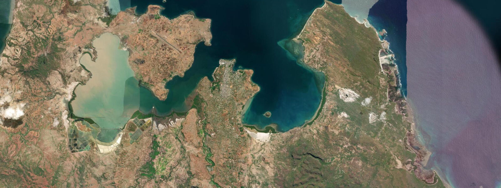
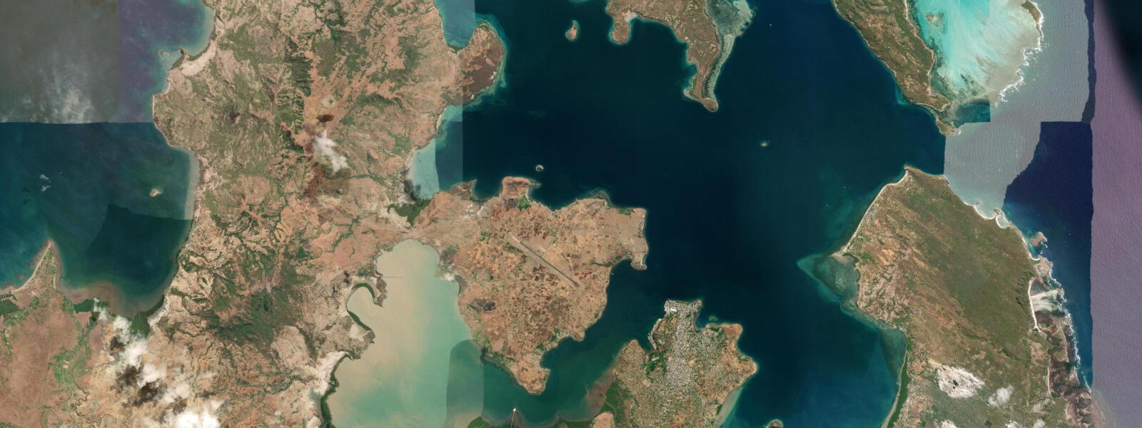
Nosy Tanikely, a small island 10 km southwest of Nosy Be, is the reference marine reserve of the area. The snorkelling on the northwest side of Tanikely is accessible from the beach at all tidal states, though the tidal current around the island's southern point runs strongly on spring tides — if a snorkeller drifts around that point on the ebb, returning to the beach requires a significant swim against 2 knots of current. Go at neap tides or arrive at slack water. Nosy Komba, the round island visible 5 km south of Nosy Be's southwest coast, is famous for its habituated black lemurs; the beach at Ampangorinana village fronts directly onto the channel and is a half-day boat excursion from Ambatoloaka.
For anglers, the species list changes with tide and season. Permit and giant trevally hold on the flats behind Andilana at low water; snapper concentrate on the channel margins on incoming tide. The ylang-ylang tree (Cananga odorata) covers much of Nosy Be's interior highlands, and the island's distilleries supply essential oil to European fragrance houses — the scent is strongest in the morning, which happens to coincide with optimal flat-fishing light before the trade wind builds.
Photographers: the wide spring-low on Ambatoloaka, shot from the low-tide line looking north toward the headland at 06:45 when the light is still orange, gives a 150 m foreground of reflective wet sand with the pirogue fleet in the middle distance. At high spring, the same beach compresses to a narrow strip and the boats heel against their anchors in the chop — a completely different frame.
Tide data for Nosy Be, Madagascar comes from the Open-Meteo Marine API, a gridded model product. Timing accuracy is ±45 minutes, height accuracy ±0.3 m — usable for trip planning, not for navigation.
Tide questions about Nosy Be, Madagascar
Quick answers to the most common questions about tide times, range, and water access at Nosy Be, Madagascar.
What is the tidal range at Nosy Be and how does it affect the beaches?
The mean spring tidal range on Nosy Be's southwest coast is 2.5–4.0 m — large for the Indian Ocean, produced by the Mozambique Channel's bathymetry amplifying the tidal wave. At low spring water, beaches like Ambatoloaka and Madirokely extend 100–150 m beyond the normal waterline. At high spring water, the sea reaches the front row of beach structures and the reef at Madirokely becomes wading depth over its shallowest points. Plan water activities for mid-incoming tide when the reef has adequate depth without strong current. The tidal range at neaps drops to 1.0–1.5 m, making beach width more consistent across the day.
When is whale shark season at Nosy Be and how do I join a dive?
Whale sharks (Rhincodon typus) aggregate in the Mozambique Channel off Nosy Be from October through December, peaking in November when the bait-fish bloom is densest. Dive operators in Hell-Ville (Andoany) run day trips departing around 06:30 from the Hell-Ville jetty; the whale shark zone is 10–30 km offshore and visibility is 15–25 m on calm days. Book operators directly in town or through your accommodation — expect to pay 60–100 EUR per person for a full-day trip including snorkel equipment. From June to September the same waters host humpback whales on their annual Mozambique Channel migration.
Is it safe to cross by pirogue between Nosy Be and the mainland?
Local pirogues cross the channel between Nosy Be and the Madagascar mainland coast at all tidal states, but the current through the main passes runs 1–3 knots on spring tides and experienced operators time crossings with the flood or ebb rather than across it. On spring tides, add 20–30 minutes to the crossing time when going against the tide. The 8 km crossing can be rough when the trade wind and tidal current are opposed — whitecapped chop builds quickly. The pirogue operators working the Hell-Ville side are experienced in these conditions, but tourist-chartered crossings should be timed for slack water (roughly 30–60 minutes after high or low water) for the calmest passage.
What are the best tidal conditions for snorkelling at Nosy Tanikely marine reserve?
The snorkelling on Nosy Tanikely's northwest side is good at all tidal states from the beach, but be cautious near the island's southern point: on spring tides the tidal current around that headland runs 2 knots or more on the ebb, and drifting around the point means a hard swim back. Visit at neap tides — the range drops to 1.0–1.5 m and currents are half strength — or arrive within 30 minutes of slack water at any tide. Water depth over the main coral section is 2–5 m at mid-tide. Nosy Tanikely is a 30–40 minute fast-boat ride southwest of Hell-Ville; most operators run morning departures to avoid afternoon wind chop.
What fish species can anglers target at Nosy Be and when?
On the tidal flats behind Andilana Beach, permit (Trachinotus blochii) and giant trevally (Caranx ignobilis) hunt the exposed flat at low water — the 60–90 minutes around low spring tide are the productive window before the flat floods and fish disperse. Snapper (Lutjanus spp.) concentrate along channel margins and reef edges on the incoming tide. The offshore Mozambique Channel holds yellowfin tuna and sailfish year-round, accessible from Hell-Ville's larger charter boats. October to December coincides with both the whale shark aggregation and strong offshore pelagic fishing; the same bait-fish bloom that draws whale sharks attracts large yellowfin within 20 km of shore.
8-day tide table — Nosy Be, Madagascar
Heights relative to MSL. Predictions: Open-Meteo Marine (MeteoFrance SMOC, 0.08° grid) — heights relative to MSL (not chart datum / LAT). Model-derived.
| Day | Type | Time | Height |
|---|---|---|---|
| Fri 19 Jun | Low | 03:00 | 0.2m |
| High | 06:31 | 1.8m | |
| Low | 12:33 | -0.7m | |
| High | 18:51 | 2.1m | |
| Sat 20 Jun | Low | 01:12 | -0.8m |
| High | 07:23 | 1.7m | |
| Low | 13:23 | -0.5m | |
| High | 19:38 | 1.8m | |
| Sun 21 Jun | Low | 01:58 | -0.6m |
| High | 08:18 | 1.6m | |
| Low | 14:20 | -0.3m | |
| High | 20:32 | 1.5m | |
| Mon 22 Jun | Low | 02:48 | -0.5m |
| High | 09:18 | 1.4m | |
| Low | 15:26 | -0.2m | |
| High | 21:32 | 1.3m | |
| Tue 23 Jun | Low | 03:48 | -0.3m |
| High | 10:24 | 1.4m | |
| Low | 16:45 | 0.0m | |
| High | 22:43 | 1.2m | |
| Wed 24 Jun | Low | 04:54 | -0.1m |
| High | 11:33 | 1.4m | |
| Low | 18:08 | -0.0m | |
| High | 23:58 | 1.1m | |
| Thu 25 Jun | Low | 06:05 | -0.1m |
| High | 12:42 | 1.5m | |
| Low | 19:20 | -0.1m | |
| Fri 26 Jun | High | 01:10 | 1.1m |