Antsiranana tide times
Antsiranana tide forecast — heights relative to MSL.
Today's tide times for Antsiranana
Tide times at Antsiranana on Friday, 31 July 2026: first low tide at 03:00am, first high tide at 04:34am, second low tide at 10:25am, second high tide at 04:40pm, third low tide at 10:58pm. Sunrise 06:02am, sunset 05:36pm.
Tide chart for Antsiranana
24-hour cosine-interpolated curve around the present moment. Heights relative to MSL. Predictions: Predictions: Open-Meteo Marine (MeteoFrance SMOC, 0.08° grid).
Sun, moon and conditions on Fri 31 Jul
Snapshot at build time — refreshes daily. Sea state from Open-Meteo Marine.
Highs and lows next 7 days
Every predicted high and low for the next week, with the daily tidal coefficient (0–120; higher = bigger swing, > 95 means stronger currents).
Other spots nearby
The three closest curated TideTurtle locations to Antsiranana, measured by great-circle distance.
Today's solunar windows
Solunar tradition: major periods are the ≈3h windows around moon transit and opposition; minor are ≈2h around moonrise and moonset. Pair with the local tide stage and wind for the best read.
Cycle dates near Antsiranana
Last spring tide on Fri 31 Jul (range 2.3m). Next neap on Thu 06 Aug.
Spring tides cluster around new and full moons (biggest swings). Neap tides land on quarter moons (smallest swings). See the spring tide and neap tide glossary entries for the why.
About tides at Antsiranana
A short guide to the coastline at Antsiranana — geography, sea state, and what the tide is actually doing under your feet.
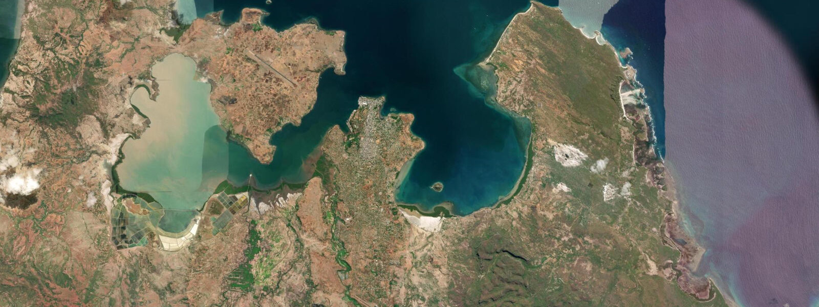
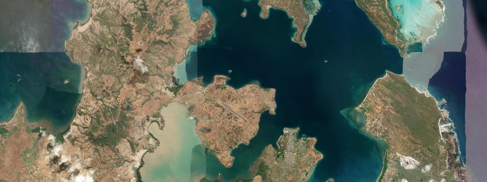
Antsiranana — called Diego Suarez by nearly everyone who visits — sits at the northern tip of Madagascar inside one of the largest and most sheltered natural harbours in the Indian Ocean. The bay is a remarkable geological feature: a series of deep-water basins connected by narrow channels, enclosed by headlands that block both swell and wind from most directions while still allowing the Mozambique Channel tidal signal to propagate in through the mouth between Orangea peninsula and the rocky headland to the south. The tide here is semidiurnal, with a range of 2.5 to 3.5 metres at springs. The consistent depth of the bay and the funnel geometry of the entrance amplify the Indian Ocean signal rather than dampening it, so the range inside the bay is comparable to the exposed western coast.
For kitesurfers, Antsiranana is the benchmark site in Madagascar and one of the most well-regarded in the whole Indian Ocean region. The bay's orientation and the topography of the northern tip channel the south and south-southwest trades reliably from April through November, and on most days in peak season the wind at Ramena beach arrives on schedule by mid-morning, strengthens through the afternoon, and drops at sunset. The kite season coincides with the dry season, and the combination of consistent wind and lack of rain makes conditions unusually predictable by Indian Ocean standards. Tide state affects the launching conditions at Ramena: the rocky fringe that borders the sandy beach at the northern end of the bay is navigable with a board only in the upper two-thirds of the tidal range, and a spring low in the afternoon — which happens for a few days around each neap-spring transition — can put the rocky ledge almost at water level, requiring a longer carry to reach the sand.
Divers have several distinct environments within reach. The Emerald Sea north of Ramena is a shallow lagoon with calm, luminously green water — a snorkelling site rather than a dive, but spectacular at mid-tide when the colour is at its peak. Nosy Lonjo, the basalt sea stack rising vertically from the bay, has walls that drop into deep water and aggregates pelagic species when the tidal exchange at the bay mouth drives current across the structure. The timing of that current peak moves through the day as the lunar cycle progresses, and local dive operators adjust their departure times weekly to hit the feeding activity rather than the slack.
Anglers fishing from Antsiranana access a varied environment: the deep-water bay inside holds yellowfin tuna during the southeast trade season as the current exchanges drive bait through the entrance, and the mangrove-fringed bays south of the town have productive estuary fishing for snapper and mullet on the flood tide. The reef systems north of Orangea peninsula and off Ramena hold the full spectrum of Indo-Pacific reef species; the passage between Nosy Lonjo and the mainland concentrates fish on the tidal flow.
Swimmers and beach visitors at Ramena find a more dependable and calmer regime than the exposed northern tip coast. The bay mouth at Orangea blocks the Indian Ocean swell, and within the bay the wave climate is wind-wave rather than oceanic swell. The 2.5 to 3.5 metre tidal range makes a visible difference to the beach width at Ramena between high and low water — the beach narrows significantly at high springs — but the slope is gentle enough that the water remains approachable throughout the cycle.
Tide predictions on this page come from Open-Meteo Marine, typically accurate to within plus or minus 45 minutes and 0.2 to 0.3 metres. At Antsiranana's range of 2.5 to 3.5 metres, this is a usable planning reference for general activities. The authoritative harmonic data for Antsiranana is published by SHOM (Service Hydrographique et Océanographique de la Marine) in the Antsiranana (Diego-Suarez) port file; the Antsiranana port authority holds the operational gauge records. For vessel navigation in the bay or through the entrance channel, use the SHOM chart and the port authority. For kite, dive, and angling planning, the model prediction combined with a 15-minute timing buffer is a reasonable starting point.
Tide questions about Antsiranana
Quick answers to the most common questions about tide times, range, and water access at Antsiranana.
When is the next high tide at Antsiranana?
The prediction block at the top of this page shows the next predicted high in local Madagascar time (EAT, UTC+3). Antsiranana has a semidiurnal tide — two highs and two lows daily, roughly 12 hours 25 minutes apart on the lunar cycle. Range varies from about 2.5 metres on neaps to 3.5 metres on large springs, with the largest springs occurring in the days following each new and full moon. The timing advances about 50 minutes per day as the lunar cycle progresses. The SHOM Diego-Suarez port file is the authoritative harmonic reference for this station; Open-Meteo Marine drives the predictions shown here.
Why is the tide range at Antsiranana relatively large?
Antsiranana sits at the northern tip of Madagascar where the Mozambique Channel narrows, and the bay's funnel geometry amplifies the Indian Ocean tidal signal as it propagates through the entrance between Orangea peninsula and the southern headland. The result is a spring range of 2.5 to 3.5 metres inside a sheltered bay that would otherwise suppress swell and wave energy. The tidal current that drives through the bay entrance at peak half-tide flow is the same mechanism that concentrates the pelagic species around Nosy Lonjo and the outer bay reefs — the exchange is both the fishing engine and the navigation challenge.
Where do these tide predictions come from?
Predictions come from Open-Meteo Marine, a free gridded global ocean model that estimates tidal height across a geographic grid rather than from harmonic analysis of the Antsiranana gauge. Typical accuracy is plus or minus 45 minutes on timing and 0.2 to 0.3 metres on height. For a 2.5 to 3.5 metre range, that accuracy is adequate for general activity planning. For vessel navigation through the bay entrance or precision dive timing on current-dependent sites, the SHOM Antsiranana port file and the Antsiranana port authority are the authoritative references.
Is it safe to kitesurf at Ramena across the full tidal range?
Kitesurfing at Ramena is accessible through most of the tidal range, but launch and recovery conditions vary. The northern section of the beach has a rocky fringe that is exposed on the lower half of the range — particularly on spring lows — requiring a longer carry across the rocky ledge to reach usable sand and water depth. Mid-to-high tide gives the cleanest launch and recovery access. The wind regime is the primary planning variable; the tide affects logistics rather than safety of the session itself. Local operators who run lessons and rental know the beach layout intimately and adjust launch sites to the daily conditions.
Can this page be used for navigation inside Antsiranana Bay?
No. Antsiranana Bay is a commercial port with deep-water vessel traffic, and navigation through the bay entrance and inside the harbour requires SHOM chart data, official harmonic predictions, and compliance with port authority procedures. Open-Meteo Marine gridded predictions are not gauge-calibrated harmonic data and are not suitable for vessel operations. The Antsiranana port authority issues entry procedures and can advise on current conditions at the entrance channel. For recreational vessels arriving from offshore, contacting the port authority before entering is standard practice.
8-day tide table — Antsiranana
Heights relative to MSL. Predictions: Open-Meteo Marine (MeteoFrance SMOC, 0.08° grid) — heights relative to MSL (not chart datum / LAT). Model-derived.
| Day | Type | Time | Height |
|---|---|---|---|
| Fri 31 Jul | Low | 03:00 | 1.1m |
| High | 04:34 | 1.4m | |
| Low | 10:25 | -0.5m | |
| High | 16:40 | 1.7m | |
| Low | 22:58 | -0.6m | |
| Sat 01 Aug | High | 05:02 | 1.5m |
| Low | 11:00 | -0.5m | |
| High | 17:08 | 1.7m | |
| Low | 23:23 | -0.6m | |
| Sun 02 Aug | High | 17:38 | 1.6m |
| Low | 23:53 | -0.6m | |
| Mon 03 Aug | High | 06:01 | 1.5m |
| Low | 12:06 | -0.5m | |
| High | 18:10 | 1.5m | |
| Tue 04 Aug | Low | 00:20 | -0.6m |
| High | 06:35 | 1.5m | |
| Low | 12:43 | -0.4m | |
| High | 18:43 | 1.3m | |
| Wed 05 Aug | Low | 00:53 | -0.5m |
| High | 07:13 | 1.4m | |
| Low | 13:24 | -0.2m | |
| Thu 06 Aug | High | 08:01 | 1.3m |
| Low | 14:21 | -0.1m | |
| High | 20:10 | 0.9m | |
| Fri 07 Aug | Low | 02:00 | -0.2m |