Šventoji tide times
Šventoji tide forecast — heights relative to MSL.
Tide chart for Šventoji
24-hour cosine-interpolated curve around the present moment. Heights relative to MSL. Predictions: Predictions: Open-Meteo Marine (MeteoFrance SMOC, 0.08° grid).
Sun, moon and conditions on Sat 04 Jul
Snapshot at build time — refreshes daily. Sea state from Open-Meteo Marine.
Highs and lows next 7 days
Every predicted high and low for the next week, with the daily tidal coefficient (0–120; higher = bigger swing, > 95 means stronger currents).
Other spots nearby
The three closest curated TideTurtle locations to Šventoji, measured by great-circle distance.
Today's solunar windows
Solunar tradition: major periods are the ≈3h windows around moon transit and opposition; minor are ≈2h around moonrise and moonset. Pair with the local tide stage and wind for the best read.
About tides at Šventoji
A short guide to the coastline at Šventoji — geography, sea state, and what the tide is actually doing under your feet.
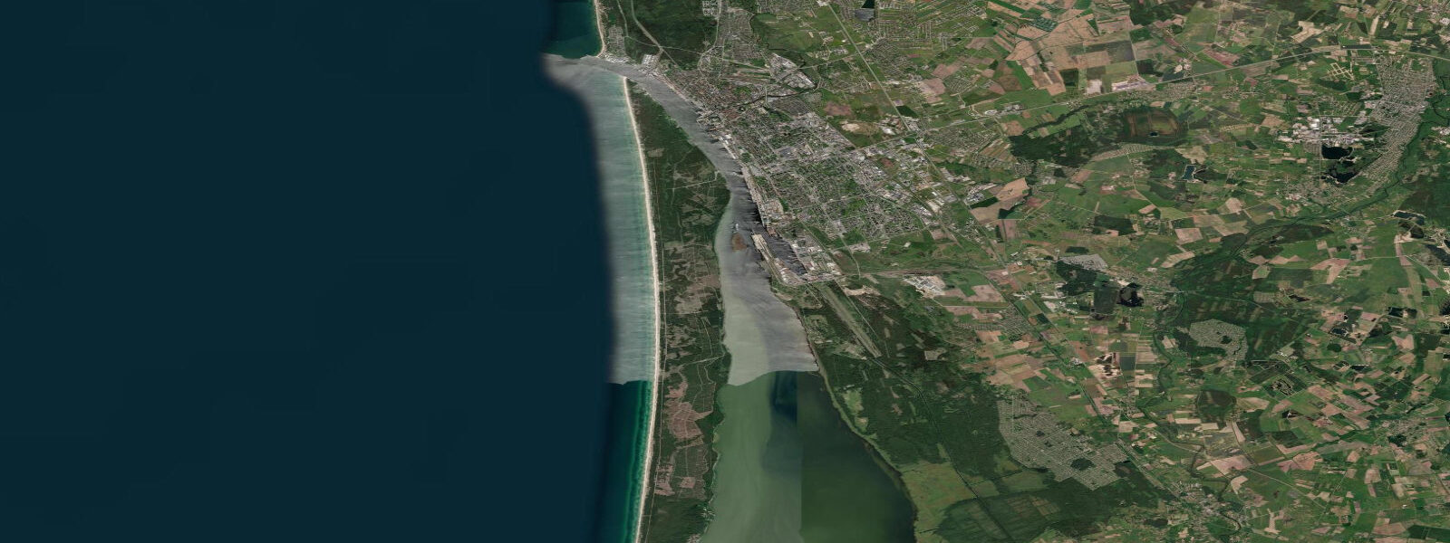
Šventoji is Lithuania's northernmost coastal resort, sitting 5 km south of the Latvian border and 5 km north of Palanga, on the exposed Baltic Sea coast where the wide sandy shore faces almost due west into open water. The name refers to the Šventoji River, which reaches the sea here through a small harbour basin with wooden jetties — the harbour used to shelter a fishing fleet and still services a few seasonal craft, though commercial fishing on this scale is a shadow of what it was before the Soviet period consolidated the fleet at Klaipėda. The river mouth, the jetties, and the bar at the harbour entrance are the key tidal-interest features for anyone planning activity around the water.
The beach at Šventoji extends several kilometres in both directions from the river mouth, the sand pale quartz backed by low fore-dunes and then scrub pine. This coast faces the Baltic's main fetch window — the southwest to northwest sector — and the swell is more developed here than on the sheltered lagoon coast of the Curonian Spit to the south. Kite-surfing and windsurfing sessions run from Šventoji when the southwest is blowing; the beach is not overcrowded outside July and August, and the access for vehicles to the beach makes rigging convenient.
Autumn beach walks at Šventoji after northwest storms are productive for amber — the Baltic amber deposits in the offshore Eocene strata are disturbed by storm swells and deposit amber fragments in the swash zone and the seaweed wrack line. The amber hunting community along the Lithuanian coast is active; the 24 hours immediately following a significant northwest blow, at low water, are the traditional search window.
The Baltic Sea at Šventoji is semidiurnal with a spring range of 0.3 to 0.5 m. The range here is slightly larger than in the Curonian Lagoon to the south because this is the open coast without the lagoon's buffering geometry. Wind-driven setup remains the dominant driver of water-level variation: sustained northerly winds push water toward the Latvian coast and drain the Lithuanian shore; southerlies raise it. The Šventoji River bar level is particularly sensitive to wind setup — a strong southerly can hold river water back and raise the lagoon behind the bar.
Palanga, 5 km south, is the larger resort with the main pier, casino, and concentrated accommodation infrastructure. Šventoji offers a quieter alternative at the same beach quality, with the river mouth adding a distinct character that pure beach towns lack. The cycling path along the coast connects the two towns.
Predictions on this page come from Open-Meteo Marine, a gridded global ocean model. Accuracy is typically within plus or minus 45 minutes on timing and 0.2 to 0.3 m on height — at the 0.3 to 0.5 m spring range of this coast, the height uncertainty is a substantial fraction of the total signal. The Lithuanian Hydrometeorological Service (LHMT) publishes sea-level and weather data for the Lithuanian Baltic coast.
Tide questions about Šventoji
Quick answers to the most common questions about tide times, range, and water access at Šventoji.
When is the next high tide at Šventoji?
The hero block at the top of this page shows the next predicted high at Šventoji in local Eastern European Time (EET/EEST, UTC+2/UTC+3). Šventoji has a Baltic semidiurnal tide with a spring range of 0.3 to 0.5 m. Wind direction over the Baltic has a stronger effect on daily water-level conditions here than the astronomical tide. The Lithuanian Hydrometeorological Service (LHMT) publishes authoritative sea-level data for the Lithuanian Baltic coast. The Šventoji River bar level is particularly sensitive to southerly wind setup.
What is the tidal range at Šventoji?
Mean spring range is 0.3 to 0.5 m on the open Lithuanian Baltic coast at Šventoji. This is slightly larger than the Curonian Lagoon's near-zero range because the open coast has more direct tidal exchange with the Baltic. Neap range compresses to 0.1 to 0.3 m. Sustained wind events add or subtract 0.3 to 0.6 m from the predicted level — often more than the total astronomical range. The Šventoji River bar responds to both sea-level and river discharge, and both can affect access to the harbour basin.
Where do these tide predictions come from?
Open-Meteo Marine, a free gridded global ocean model. At Šventoji's spring range of 0.3 to 0.5 m, the model's typical accuracy (plus or minus 45 minutes, 0.2 to 0.3 m) is a significant fraction of the total signal. For authoritative Baltic coast sea-level data, the Lithuanian Hydrometeorological Service (LHMT) publishes tide tables and storm-surge warnings for the Lithuanian coast including the Palanga/Šventoji stretch.
Is Šventoji a good base for kite-surfing?
Šventoji is among the Lithuanian coast's better kite-surfing locations. The beach faces the main Baltic fetch window (southwest to northwest), the sandy foreshore is wide, and the beach is less congested than Palanga to the south outside peak season. The wind window from southwest through northwest at 15 to 25 knots is the productive kite session range; these conditions occur most frequently in spring and autumn when temperature gradients between the Baltic and the land are strongest. Kite instructors and rental equipment are available in Palanga and occasionally at Šventoji itself in season. The river mouth and harbour basin offer a flat-water re-entry option in moderate conditions.
Is this safe to use for navigation?
No. TideTurtle is a planning tool for recreational coastal activity, not a navigation resource. The Šventoji harbour entrance and river bar are navigable only by shallow-draft vessels, and the bar shifts with storm events. The Lithuanian Maritime Safety Administration charts and Notices to Mariners are the authoritative sources for coastal navigation. Open-Meteo Marine gridded predictions do not replace authoritative navigation sources.
7-day tide table — Šventoji
Heights relative to MSL. Predictions: Open-Meteo Marine (MeteoFrance SMOC, 0.08° grid) — heights relative to MSL (not chart datum / LAT). Model-derived.
| Day | Type | Time | Height |
|---|---|---|---|
| Sat 04 Jul | — | ||
| Sun 05 Jul | — | ||
| Mon 06 Jul | — | ||
| Tue 07 Jul | High | 13:00 | 0.3m |
| Low | 20:00 | 0.2m | |
| High | 21:00 | 0.2m | |
| Wed 08 Jul | — | ||
| Thu 09 Jul | — | ||
| Fri 10 Jul | Low | 18:00 | -0.1m |