Juodkrantė tide times
Juodkrantė tide forecast — heights relative to MSL.
Tide chart for Juodkrantė
24-hour cosine-interpolated curve around the present moment. Heights relative to MSL. Predictions: Predictions: Open-Meteo Marine (MeteoFrance SMOC, 0.08° grid).
Sun, moon and conditions on Sat 04 Jul
Snapshot at build time — refreshes daily. Sea state from Open-Meteo Marine.
Highs and lows next 7 days
Every predicted high and low for the next week, with the daily tidal coefficient (0–120; higher = bigger swing, > 95 means stronger currents).
Other spots nearby
The three closest curated TideTurtle locations to Juodkrantė, measured by great-circle distance.
Today's solunar windows
Solunar tradition: major periods are the ≈3h windows around moon transit and opposition; minor are ≈2h around moonrise and moonset. Pair with the local tide stage and wind for the best read.
About tides at Juodkrantė
A short guide to the coastline at Juodkrantė — geography, sea state, and what the tide is actually doing under your feet.
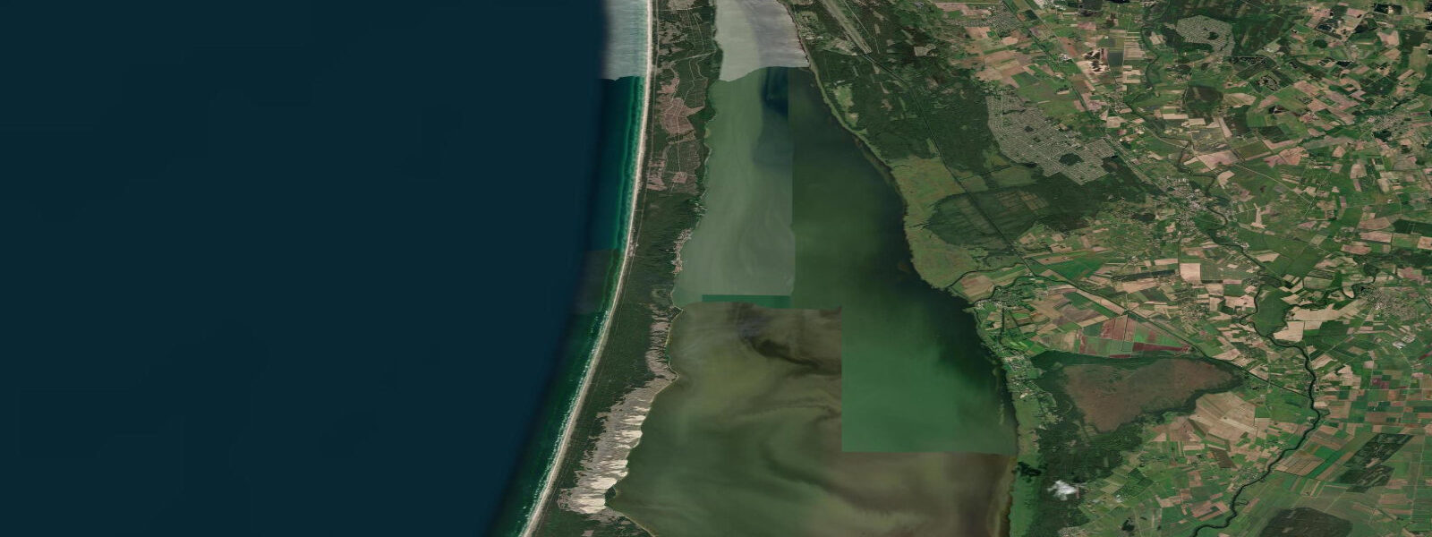
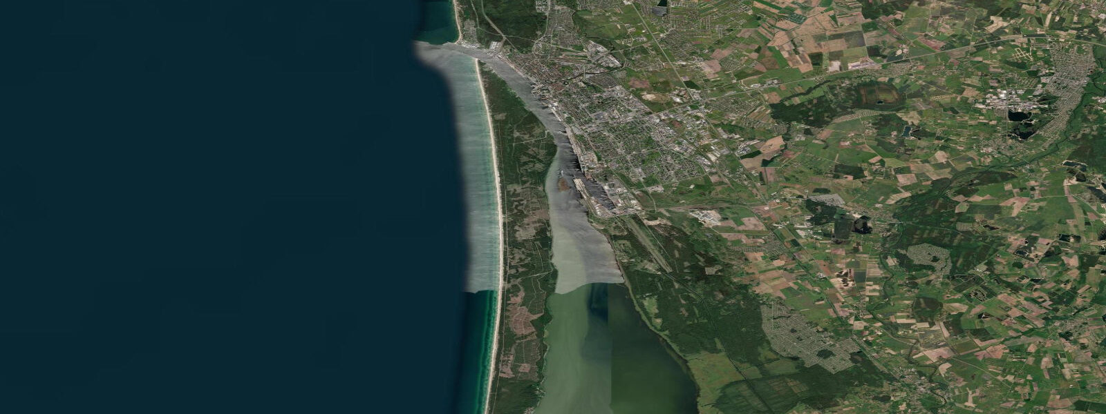
Juodkrantė is a small village of roughly 800 permanent residents on the Curonian Spit, the narrow sand barrier that separates the Curonian Lagoon from the Baltic Sea proper. The spit is 98 km long and nowhere more than 4 km wide; Juodkrantė sits roughly in its middle third, on the eastern lagoon side facing the Lithuanian mainland across 4 km of shallow sheltered water. The village is accessible only by road along the spit from Klaipėda to the north (12 km) or by ferry across the lagoon from Kintai on the mainland.
The Hill of Witches (Raganų kalnas) is the defining attraction: a forested dune hill south of the village where over 80 large oak sculptures of Lithuanian mythological figures — witches, devils, giants, forest spirits — have been installed by Lithuanian artists since 1979. The path through the sculptures winds for about a kilometre through pine and birch forest. The figures are not manicured museum pieces; they weather and darken in the forest, which suits the material. The sculpture park is free and open year-round.
The grey heron (Ardea cinerea) and great cormorant (Phalacrocorax carbo) colony in the lagoon-side alders at the northern edge of Juodkrantė is one of the largest mixed heronries in Europe, with over 1,000 nesting pairs of each species. The colony is viewable from the Juodkrantė promenade along the lagoon shore; binoculars reveal the nesting activity in the canopy from March through July.
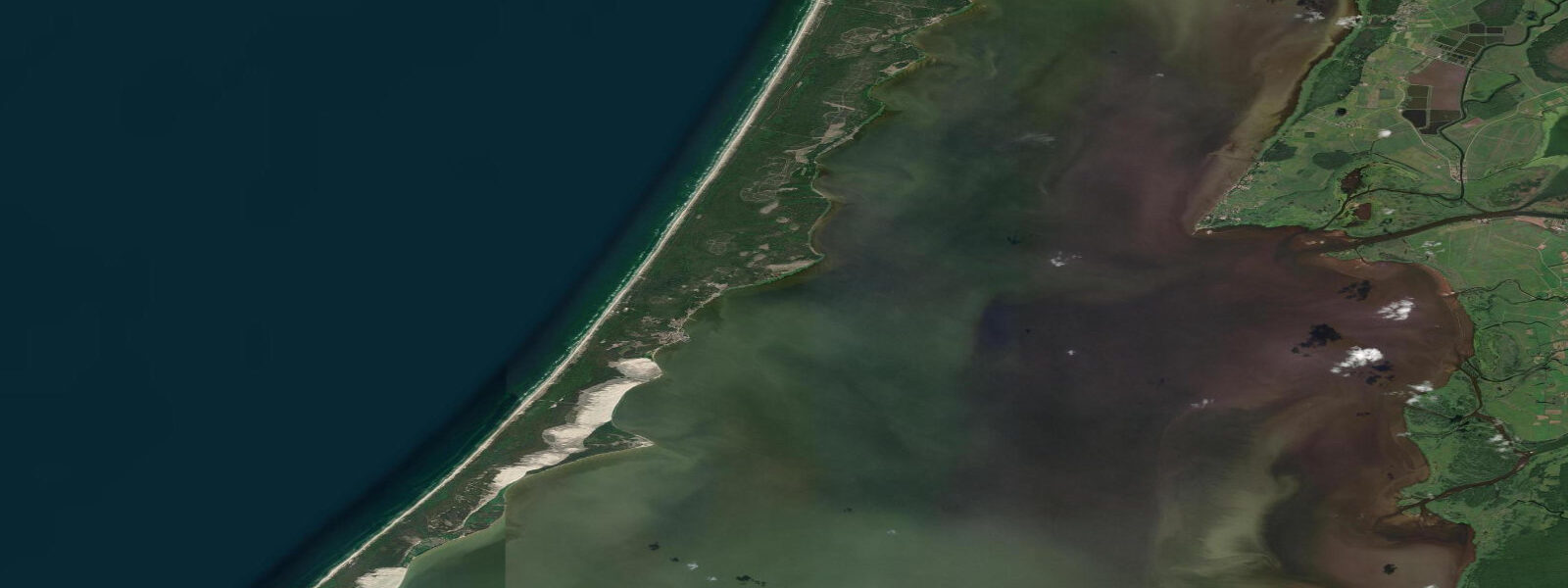
The Curonian Lagoon, into which Juodkrantė faces, is nearly tideless. The lagoon is separated from the sea by the spit, connected only at the Klaipėda Strait to the north, and the tidal exchange through this narrow connection produces an astronomical range in the lagoon of only 0.1 to 0.2 m. Water level in the Curonian Lagoon is dominated by wind: southerly winds pile water at the northern end near Klaipėda; northerlies push it toward the Lithuanian-Russian border at the south. The Baltic coast on the western (sea) side of the spit has a slightly higher spring range of 0.3 to 0.5 m, but this is still modest by North Sea or Atlantic standards.
Amber deposits in the Curonian Lagoon bed are among the most significant in the Baltic region. Amber pieces have been found on Juodkrantė beach (the lagoon-side promenade and the dune path to the Baltic side) after storm events that disturb the lagoon sediments. The nineteenth-century amber mining operation at Juodkrantė extracted large quantities from the lagoon floor — now exhausted as an industrial source, but the legacy amber horizon still yields fragments after rough weather.
Predictions on this page come from Open-Meteo Marine, a gridded global ocean model. For the Curonian Lagoon side (where Juodkrantė village sits), the astronomical tide is 0.1 to 0.2 m — effectively absent. For the Baltic Sea side of the spit, the spring range is 0.3 to 0.5 m, and the Open-Meteo predictions are more applicable. The Lithuanian Hydrometeorological Service (LHMT) publishes sea-level and weather data for both the lagoon and the Baltic coast.
Tide questions about Juodkrantė
Quick answers to the most common questions about tide times, range, and water access at Juodkrantė.
When is the next high tide at Juodkrantė?
The hero block at the top of this page shows the next predicted high at Juodkrantė in local Eastern European Time (EET/EEST, UTC+2/UTC+3). The Curonian Lagoon side of the spit — where the village sits — has an astronomical range of 0.1 to 0.2 m, essentially undetectable at the waterfront. The Baltic Sea coast on the other side of the 2 km wide spit has a spring range of 0.3 to 0.5 m, still modest. Water level in the lagoon is controlled by wind direction across the lagoon surface. The Lithuanian Hydrometeorological Service (LHMT) publishes authoritative sea-level data for the lagoon.
What is the tidal range at Juodkrantė?
On the Curonian Lagoon side of the spit: 0.1 to 0.2 m astronomical range — effectively zero. On the Baltic Sea (west) side of the spit: spring range 0.3 to 0.5 m, neap range 0.1 to 0.3 m. The lagoon is enclosed by the spit and communicates with the Baltic only through the narrow Klaipėda Strait; tidal exchange is minimal. Wind-driven setup in the lagoon can produce water-level changes that dwarf the astronomical signal — southerlies pile water at the Klaipėda end; northerlies drain it.
Where do these tide predictions come from?
Open-Meteo Marine, a free gridded global ocean model. The model's grid represents the open Baltic coast of the Curonian Spit; for the lagoon-side conditions at Juodkrantė village the predictions are approximate given the enclosed geometry. The Lithuanian Hydrometeorological Service (LHMT) operates gauges in the lagoon and on the Baltic coast and publishes the authoritative sea-level data for this region.
When is the best time to see the heron and cormorant colony at Juodkrantė?
The grey heron and great cormorant nesting colony in the alders north of Juodkrantė village is active from mid-March through July. March and April are the nesting establishment phase, with adults building and repairing nests and incubating eggs; May through June sees chick-rearing and constant adult-chick feeding activity, the most visually active period. The colony is viewable from the promenade along the lagoon shore without entering the nesting area. Binoculars are strongly recommended — the nests are in the high canopy 15 to 25 m above the ground. The colony disperses after the young fledge; by August most adults and juveniles have moved to foraging grounds across the lagoon.
Is this safe to use for navigation?
No. TideTurtle is a planning tool for recreational coastal activity, not a navigation resource. The Curonian Lagoon carries ferry traffic between Klaipėda and the spit villages; the Klaipėda Strait approaches are active commercial shipping lanes. Lithuanian Maritime Safety Administration charts and Notices to Mariners are the authoritative sources for navigation in this area. Open-Meteo Marine gridded predictions do not replace authoritative navigation sources.
8-day tide table — Juodkrantė
Heights relative to MSL. Predictions: Open-Meteo Marine (MeteoFrance SMOC, 0.08° grid) — heights relative to MSL (not chart datum / LAT). Model-derived.
| Day | Type | Time | Height |
|---|---|---|---|
| Sat 04 Jul | — | ||
| Sun 05 Jul | — | ||
| Mon 06 Jul | High | 21:00 | 0.3m |
| Tue 07 Jul | — | ||
| Wed 08 Jul | Low | 04:00 | 0.2m |
| Thu 09 Jul | — | ||
| Fri 10 Jul | — | ||
| Sat 11 Jul | High | 00:00 | -0.1m |