Klaipėda tide times
Klaipėda tide forecast — heights relative to MSL.
Tide chart for Klaipėda
24-hour cosine-interpolated curve around the present moment. Heights relative to MSL. Predictions: Predictions: Open-Meteo Marine (MeteoFrance SMOC, 0.08° grid).
Sun, moon and conditions on Sat 27 Jun
Snapshot at build time — refreshes daily. Sea state from Open-Meteo Marine.
Highs and lows next 7 days
Every predicted high and low for the next week, with the daily tidal coefficient (0–120; higher = bigger swing, > 95 means stronger currents).
Other spots nearby
The three closest curated TideTurtle locations to Klaipėda, measured by great-circle distance.


Today's solunar windows
Solunar tradition: major periods are the ≈3h windows around moon transit and opposition; minor are ≈2h around moonrise and moonset. Pair with the local tide stage and wind for the best read.
About tides at Klaipėda
A short guide to the coastline at Klaipėda — geography, sea state, and what the tide is actually doing under your feet.
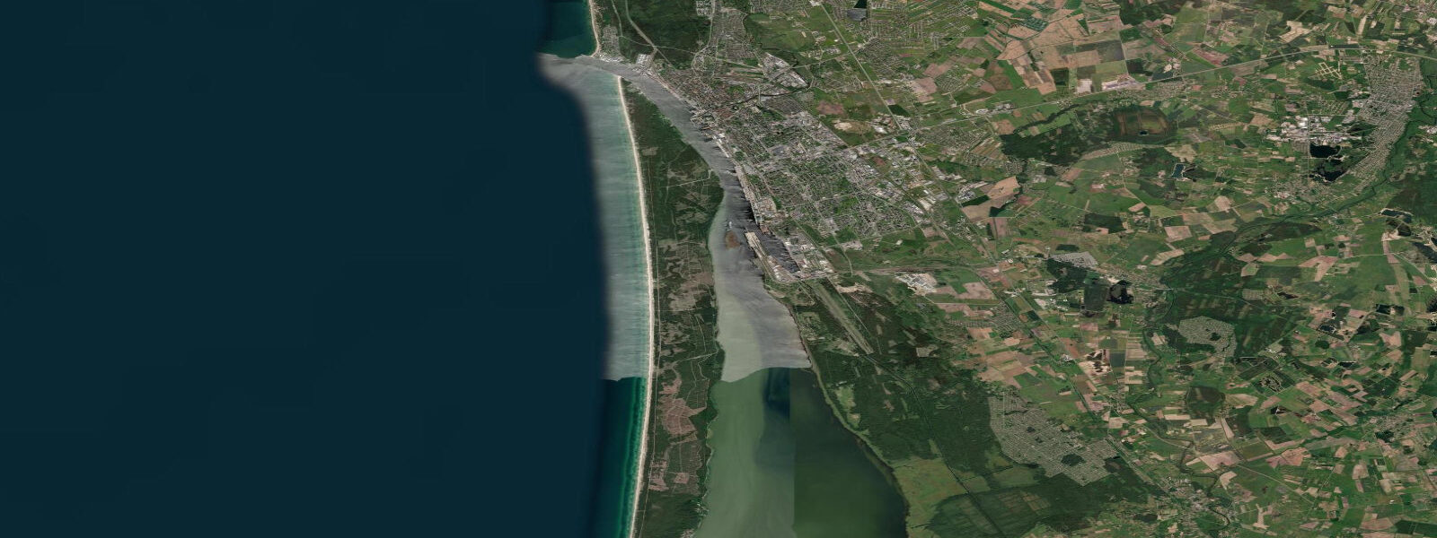
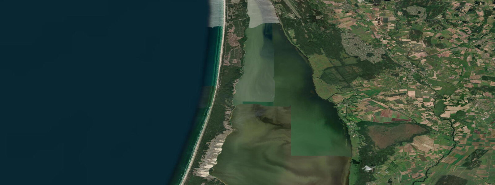
Klaipėda is Lithuania's only sea port and the northern gateway to the Curonian Spit, the 98-km sand-dune barrier that separates the Curonian Lagoon from the Baltic Sea. The city straddles the narrow Klaipėda Strait — the passage between the Baltic and the lagoon — with the old town on the north bank and the ferry terminal on the south bank. The Strait is the defining hydrological feature of the city: the exchange of water between the Baltic and the vast, shallow Curonian Lagoon happens through this 400-metre-wide bottleneck, and the current in the Strait is one of the most significant in the eastern Baltic.
Astronomical tidal range at Klaipėda is under 10 cm — negligible. Water level in both the Strait and the lagoon is controlled by wind and atmospheric pressure. A northerly or northwesterly wind pushes Baltic water through the Strait into the Curonian Lagoon, raising lagoon levels by 0.3–0.8 m above the long-term mean. A southerly wind reverses the flow, draining the lagoon and lowering water levels in the Strait and on the Baltic-facing beach. The current in the Strait during strong wind events reaches 1.5–2.5 knots — strong enough to affect ferry schedules and require commercial vessels to use tugs in extreme conditions.
For boat operators and kayakers, the Klaipėda Strait is the critical transit point for access between the Baltic and the lagoon. The current in the Strait is driven by the water-level difference between the Baltic and the lagoon: when a northerly wind raises the Baltic 0.3–0.4 m above lagoon level, the Strait current sets strongly into the lagoon. When a southerly wind reverses the differential, the current flows strongly from the lagoon to the Baltic. Kayakers transiting the Strait must plan their crossing around the current state; the 400-metre crossing can be difficult and drift-heavy if the current is running at 1.5 knots on a perpendicular crossing line. The ferry crossing between Klaipėda city and the Curonian Spit foot-passenger terminal operates on fixed 3-minute crossings throughout the day and is the practical solution for most visitors.
The ferry port at Klaipėda handles the daily Kiel–Klaipėda and Karlshamn–Klaipėda services (DFDS and STENA). These large Ro-Ro passenger ferries draw 5.5–7.0 m fully loaded; the approach channel is dredged to 9–10 m. Water level fluctuations of 0.3–0.8 m on the tidal-equivalent wind-surge scale are well within the channel's designed clearance, and ferry schedules are not normally affected by water level changes. Strong northerly winds that increase current in the Strait do add manoeuvring complexity for large vessels; this is managed by the port authority with tug assistance when required.
For anglers, the Klaipėda Strait mouth at the Baltic end is a productive fishing zone. Sea trout and vimba concentrate at the mouth where the Strait current meets the open Baltic. The current creates a mixing zone that concentrates baitfish and predators regardless of wind direction. The breakwater piers on both sides of the Strait mouth — the north pier on the beach side and the south pier on the Curonian Spit side — are accessible fishing platforms with good current exposure. Night fishing from the north pier for sea trout in autumn is a local tradition.
The old town of Klaipėda, on the north bank of the Strait, has a compact half-timbered German Hanseatic character — the city was the German Memel until 1923. The Theatre Square and the narrow streets of the old town are 10 minutes' walk from the ferry terminal. The Sculpture Park south of the old town runs along the riverfront.
All tide predictions for Klaipėda come from the Open-Meteo Marine gridded model. Timing accuracy is ±45 minutes; height accuracy is ±0.3 m above Chart Datum. The astronomical signal of under 10 cm is within the model's uncertainty; current state in the Strait is governed by the Baltic-to-lagoon water level differential, not by the tide.
Tide questions about Klaipėda
Quick answers to the most common questions about tide times, range, and water access at Klaipėda.
Is there a tidal current in the Klaipėda Strait, and how does it affect small boats?
Yes, but the Klaipėda Strait current is wind-driven, not tidal. The current is set by the water-level difference between the Baltic Sea and the Curonian Lagoon. When northerly winds raise the Baltic 0.3–0.4 m above lagoon level, the Strait current sets strongly into the lagoon at 1.5–2.5 knots. A southerly reversal drains the lagoon outward at similar speeds. For kayakers crossing the 400-metre Strait, a 1.5-knot perpendicular current means 50–100 m of drift during the crossing — enough to require a compensated ferry angle or a wait for calmer current conditions. Check the weather forecast and the current state before crossing; the car/passenger ferry provides a safe alternative.
Does the Klaipėda Strait current affect the international ferry schedule?
Routine wind-driven water level fluctuations of 0.3–0.8 m and associated Strait currents are within the design tolerances of the DFDS and STENA Ro-Ro vessels on the Kiel and Karlshamn routes. Ferry schedules are not normally affected. In extreme northerly storm events when Strait current exceeds 2.0 knots, the port authority may deploy tugs for large vessel manoeuvring assistance; this is an operational procedure, not a cancellation trigger. The approach channel at 9–10 m depth has sufficient clearance at all realistic wind-driven water level states for vessels drawing 5.5–7.0 m.
Where can anglers fish from Klaipėda and what are the target species?
The north breakwater pier at the Baltic mouth of the Klaipėda Strait is the prime shore-fishing platform. Sea trout is the premier autumn target (September–November), concentrating at the Strait mouth where current and baitfish overlap. Vimba run in spring (April–May). Flounder and perch are accessible year-round from the breakwater. Night fishing with spinners from the north pier for sea trout is a well-established local practice in October. A Lithuanian fishing permit is required; it can be purchased at the AM Žvejyba fishing shop in the city. The Curonian Lagoon, accessible by the Spit ferry, offers separate freshwater/brackish fishing for pikeperch, perch, and bream.
How do you get from Klaipėda to the Curonian Spit?
A foot-passenger and bicycle ferry runs year-round from the ferry terminal on the south side of Klaipėda old town to the Curonian Spit landing at Smiltynė. The crossing takes 3 minutes; departures every 20–30 minutes. A separate car ferry runs on a slightly longer schedule. From Smiltynė, cycling is the best way to reach Juodkrantė (20 km south) and Nida (50 km south); bicycle rentals are available at the Smiltynė landing. The wind-driven current in the Strait means some crossings are more energetic than others — the ferry runs in all conditions that the port authority deems safe.
What is the water quality and swimming situation at Klaipėda?
Klaipėda city itself is a port and industrial area; swimming from the city waterfront is not recommended. The nearest designated swimming beach is at Melnragė, 3 km north of the city centre on the Baltic coast, and at Giruliiai, 6 km north — both accessible by city bus. These beaches face the open Baltic and share the characteristic of wind-driven water level variation rather than any tidal pattern. Sea temperature on the Lithuanian Baltic coast peaks at 16–18 °C in late July. After storm events, turbidity increases as bottom sediment is resuspended; water clarity returns within 2–3 days of calm conditions.
7-day tide table — Klaipėda
Heights relative to MSL. Predictions: Open-Meteo Marine (MeteoFrance SMOC, 0.08° grid) — heights relative to MSL (not chart datum / LAT). Model-derived.
| Day | Type | Time | Height |
|---|---|---|---|
| Sat 27 Jun | — | ||
| Sun 28 Jun | — | ||
| Mon 29 Jun | — | ||
| Tue 30 Jun | High | 03:00 | -0.0m |
| Wed 01 Jul | — | ||
| Thu 02 Jul | Low | 23:00 | 0.0m |
| Fri 03 Jul | High | 10:00 | 0.1m |