Ventspils tide times
Ventspils tide forecast — heights relative to MSL.
Today's tide times for Ventspils
Tide times at Ventspils on Saturday, 27 June 2026: first low tide at 03:00am. Sunrise 04:37am, sunset 10:35pm.
Tide chart for Ventspils
24-hour cosine-interpolated curve around the present moment. Heights relative to MSL. Predictions: Predictions: Open-Meteo Marine (MeteoFrance SMOC, 0.08° grid).
Sun, moon and conditions on Sat 27 Jun
Snapshot at build time — refreshes daily. Sea state from Open-Meteo Marine.
Highs and lows next 7 days
Every predicted high and low for the next week, with the daily tidal coefficient (0–120; higher = bigger swing, > 95 means stronger currents).
Other spots nearby
The three closest curated TideTurtle locations to Ventspils, measured by great-circle distance.
Today's solunar windows
Solunar tradition: major periods are the ≈3h windows around moon transit and opposition; minor are ≈2h around moonrise and moonset. Pair with the local tide stage and wind for the best read.
About tides at Ventspils
A short guide to the coastline at Ventspils — geography, sea state, and what the tide is actually doing under your feet.
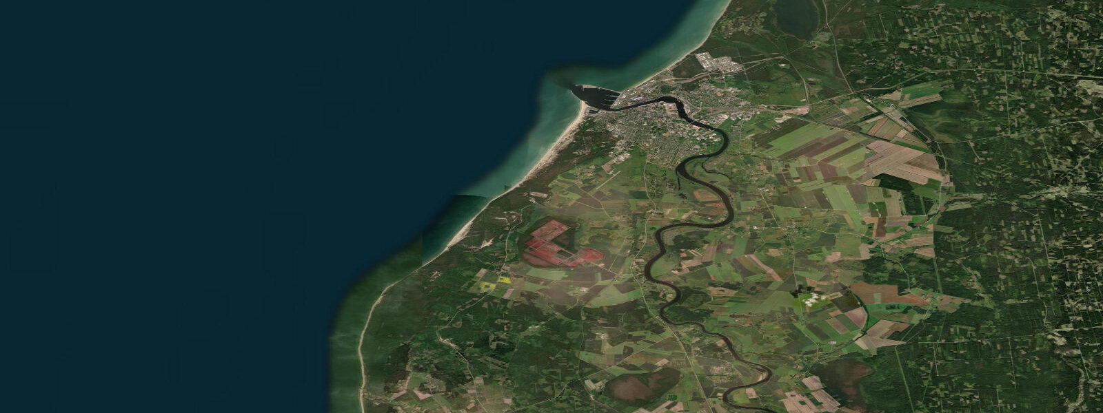
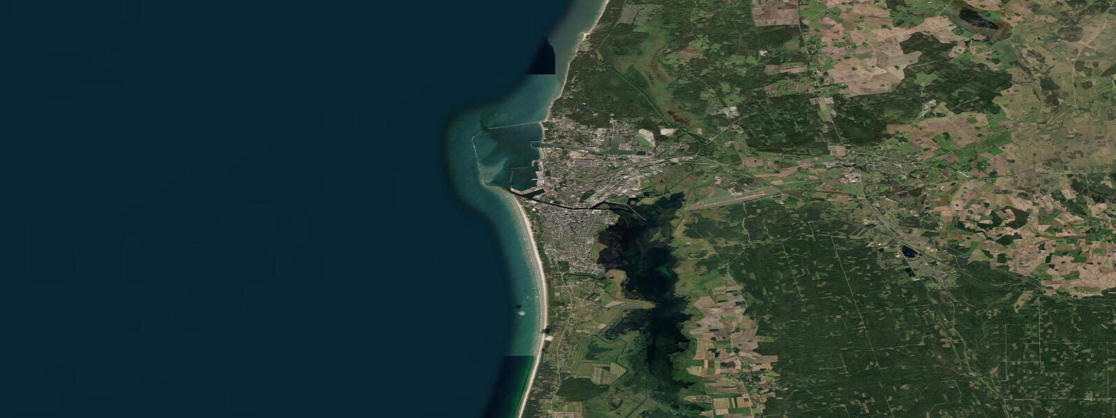
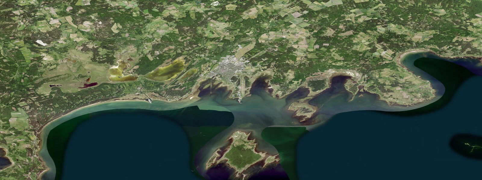
Ventspils sits on Latvia's open Baltic coast, not in the Gulf of Riga, at the mouth of the Venta River. It is Latvia's most important commercial port — the country's only ice-free deep-water terminal, handling bulk cargo and oil products year-round. The city has invested heavily in its public waterfront: the Seaside Open-Air Museum, a beach with Blue Flag certification, and a child-friendly waterpark make it a functioning family resort alongside the industrial port. The Venta River flows through the city centre; kayaking the Venta mouth and accessing the coast by paddle is a popular local activity.
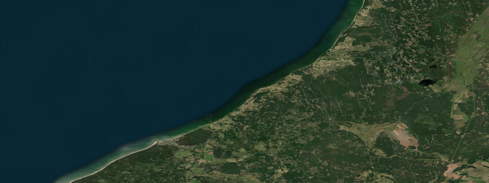
The tidal regime at Ventspils is the same as the rest of the Baltic: astronomical range 2–5 cm, negligible in practice. The open Baltic coast here is more exposed to North Sea swell propagation than the Gulf of Riga; west-to-northwest swells generated in the northern Baltic can reach 1.5–3.0 m at Ventspils on sustained westerly to northwesterly storm events. This exposure differentiates Ventspils from Jūrmala on the more sheltered Gulf shore: wave energy here is higher in average conditions and the beach profile reflects it — the beach face is steeper, finer-sand sections alternate with gravel, and the surf break can be genuinely energetic in autumn storm season.
For the Blue Flag beach north of the Venta mouth, calm summer conditions (June–August) produce the most accessible swimming. Sea temperature at Ventspils on the open Baltic coast peaks at 16–18 °C in late July — 3–4 °C cooler than Jūrmala on the sheltered Gulf. Wind is the operative variable for planning: a northwesterly swell of over 1.0 m makes the beach face unsuitable for children and weakens swimmers; the offshore swell forecast (Storm Glass from LVGMC or Windy.com) is the relevant planning tool, not the tide chart.
For kayakers, the Venta River from central Ventspils to the sea is a 5–6 km paddle with a mild current in summer. The river mouth — where the Venta meets the Baltic — is energetic in any onshore swell. Crossing the river bar on the Baltic side requires waiting for a low-energy window; the waves break across the bar when swell height exceeds 0.5 m. Experienced sea kayakers use the Ventspils seafront as a base for open-Baltic coastal tours northward toward Ovīši lighthouse (12 km) and Roja (50 km); these tours require full-commitment sea kayaking preparation given the open exposure.
For anglers, the Venta mouth and the Baltic shore north of the breakwater are productive. Sea trout (Salmo trutta) is the premium species, running the Venta in autumn (September–November). The Baltic herring — the commercial species that built Latvia's fishing economy — appears inshore in spring (April–May) for spawning; local boat operators run herring fishing trips during this window. Vimba and ide run the Venta in spring from the sea. The port breakwater provides extensive pier fishing for Baltic cod (now rare due to stock depletion), perch, and flounder. The ice-free status of Ventspils port means winter fishing from the breakwater is possible, unlike many Baltic ports.
The beach at Ventspils faces due west, making sunset photography on the beach face outstanding from May through August. The 22:00 sunset in mid-June leaves the beach in golden light until the last possible minute. The port to the south provides industrial contrast; the lighthouse at the north end of the beach is a well-composed subject in long-exposure evening shots.
All tide predictions for Ventspils come from the Open-Meteo Marine gridded model. Timing accuracy is ±45 minutes; height accuracy is ±0.3 m above Chart Datum. The 2–5 cm astronomical range at Ventspils is well within the model's height uncertainty. Wind and Baltic swell are the operational variables for all shore and water activities.
Tide questions about Ventspils
Quick answers to the most common questions about tide times, range, and water access at Ventspils.
Is Ventspils beach safe for swimming and what conditions should you check?
Ventspils Blue Flag beach is safe for swimming in calm summer conditions, but the open Baltic exposure means wave conditions are variable and can change quickly. Sea temperature peaks at 16–18 °C in late July — cold by North Sea-facing standards but manageable for acclimatised swimmers. The operative planning tool is the swell forecast from LVGMC or Windy.com, not a tide table: the astronomical tidal range of 2–5 cm has no bearing on wave conditions or swimming safety. When northwest swell exceeds 1.0 m, the beach face produces energetic shorebreak unsuitable for children. Lifeguard coverage operates on the Blue Flag section in July and August.
Can sea trout be caught from the Venta River mouth at Ventspils?
Baltic sea trout (Salmo trutta) run the Venta River on their autumn spawning migration, entering from the Baltic in September and continuing upstream through November. The river mouth and the first 3–5 km upstream of the bridge are the primary fishing zone. Spinning and fly-fishing both produce results; the incoming sea-to-river transition zone at the mouth is the most productive section when the fish are running. A Latvian fishing licence (available from lvm.lv) is required. Baltic herring appear inshore in April–May for spawning, when local boat operators run inshore trips. Flounder and perch are caught from the port breakwater year-round.
Can kayakers cross the Venta River bar and paddle the open Baltic from Ventspils?
Crossing the Venta mouth bar onto the open Baltic is feasible only in calm conditions — when swell height is under 0.5 m, the bar is manageable for experienced sea kayakers. When swell exceeds 0.5 m, the waves break across the bar and the crossing becomes hazardous. The open Baltic coast north of Ventspils toward Ovīši lighthouse (12 km) and Roja (50 km) is genuine open-sea kayaking with no shelter and limited landing options; treat it as a committed expedition rather than a day paddle. The Venta River itself, from central Ventspils to the mouth (5–6 km), is a pleasant flat-water paddle in summer low-flow conditions.
How does Ventspils differ from Jūrmala for a beach visit?
Ventspils faces the open Baltic; Jūrmala faces the sheltered Gulf of Riga. Practically, this means Ventspils has higher average wave energy, cooler water (16–18 °C peak versus 19–22 °C at Jūrmala), and a steeper, more dynamic beach profile. For experienced swimmers and anyone who wants a more active beach environment, Ventspils delivers it. For families with young children wanting calm, warm, shallow water, Jūrmala is the better choice. Both beaches have negligible tidal variation — wind and swell govern conditions at both. Ventspils has the advantage of a year-round ice-free coastline and excellent port infrastructure; Jūrmala has the warmer, calmer water.
What is the best time of day to photograph Ventspils beach?
Ventspils beach faces due west, making it an exceptional sunset photography location from May through August. The June solstice sunset falls around 22:00 local time and the beach retains direct golden light until the last few minutes before the sun drops. Long-exposure shots from the beach toward the lighthouse at the north end of the seafront are a classic composition. The port cranes and industrial infrastructure to the south provide a contrasting urban-industrial backdrop. Sunrise photography requires turning your back to the sea and shooting inland toward the city — the beach face is in shadow until the sun clears the horizon.
6-day tide table — Ventspils
Heights relative to MSL. Predictions: Open-Meteo Marine (MeteoFrance SMOC, 0.08° grid) — heights relative to MSL (not chart datum / LAT). Model-derived.
| Day | Type | Time | Height |
|---|---|---|---|
| Sat 27 Jun | Low | 03:00 | -0.1m |
| Sun 28 Jun | — | ||
| Mon 29 Jun | — | ||
| Tue 30 Jun | — | ||
| Wed 01 Jul | — | ||
| Thu 02 Jul | High | 11:00 | 0.0m |