Pavilosta, Latvia tide times
Pavilosta, Latvia tide forecast — heights relative to MSL.
Tide chart for Pavilosta, Latvia
24-hour cosine-interpolated curve around the present moment. Heights relative to MSL. Predictions: Predictions: Open-Meteo Marine (MeteoFrance SMOC, 0.08° grid).
Sun, moon and conditions on Sat 04 Jul
Snapshot at build time — refreshes daily. Sea state from Open-Meteo Marine.
Highs and lows next 7 days
Every predicted high and low for the next week, with the daily tidal coefficient (0–120; higher = bigger swing, > 95 means stronger currents).
Other spots nearby
The three closest curated TideTurtle locations to Pavilosta, Latvia, measured by great-circle distance.
Today's solunar windows
Solunar tradition: major periods are the ≈3h windows around moon transit and opposition; minor are ≈2h around moonrise and moonset. Pair with the local tide stage and wind for the best read.
About tides at Pavilosta, Latvia
A short guide to the coastline at Pavilosta, Latvia — geography, sea state, and what the tide is actually doing under your feet.
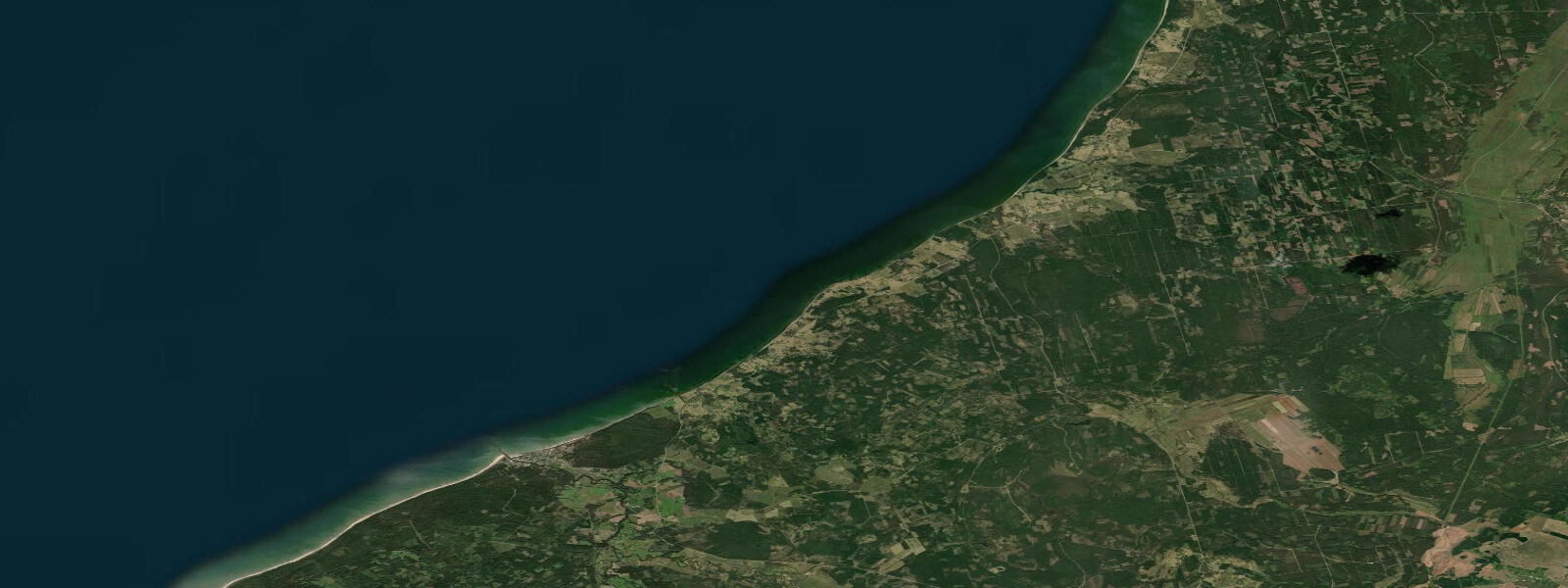
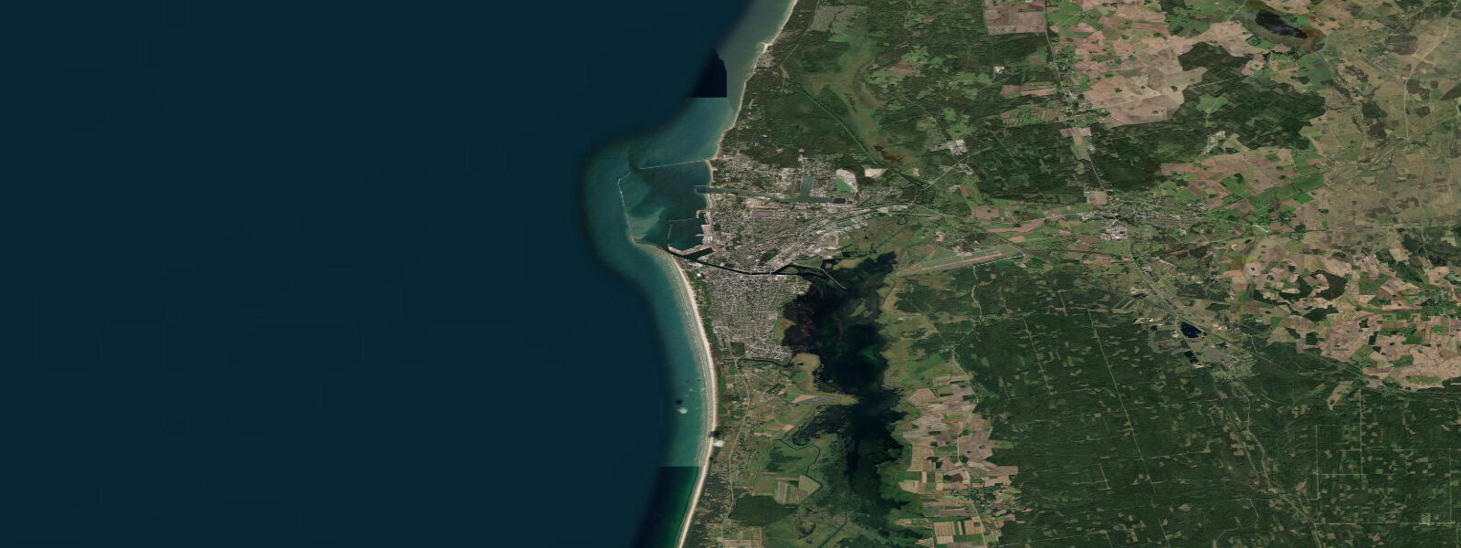
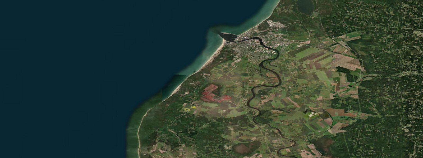
Pavilosta is a small fishing and sailing town on Latvia's open Baltic Sea coast, about 45 km north of Liepāja and 180 km from Riga. It sits at the mouth of the Saka River where the river cuts through a narrow gap in the low dunes to reach the sea — a natural harbour that has served local fishermen for centuries and now hosts a marina that draws Baltic sailing traffic each summer.
The Baltic Sea is effectively non-tidal. The astronomical tidal range at Pavilosta is less than 0.2 m — so small it is functionally irrelevant for most purposes. Water level here is governed instead by wind and atmospheric pressure. A sustained southwest wind pushing water into the eastern Baltic can raise sea level 1–2 m above the predicted norm; a persistent northeast wind draws water offshore and exposes the sandy foreshore well beyond what any tide table would suggest. Storm surges in autumn and early winter are the relevant metric for understanding the shoreline here, not the height of high water.
This makes Pavilosta an unusual entry on a tide-times site, but water level information is still useful: knowing the current wind-driven sea state, wave height, and coastal setup tells you whether to launch, fish, or stay on the beach. Open-Meteo Marine provides these parameters alongside the tide prediction. The site's tide predictions carry a typical accuracy of ±45 minutes on timing and ±0.2–0.3 m on height, but in the Baltic the wind-driven component dominates any meaningful error budget.
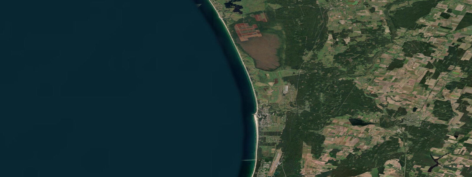
The beach north and south of Pavilosta is wide, sandy, and backed by conifer-covered dunes — a continuous Baltic coast strand that stretches for dozens of kilometres in each direction with minimal development. South of the harbour, the dunes at Pape Nature Reserve (about 30 km by road) contain Latvia's largest moving dune field and a coastal lagoon that holds grey seals year-round. The road runs behind the first dune line and you can walk the beach between the two locations in a full day with an early start.
For sea anglers, the Baltic coast fishing is primarily for pike-perch in the river mouth, perch and bream in the calmer water behind the dune lagoons, and occasional Baltic cod and flatfish in the nearshore zone during colder months. The cod population in the central and eastern Baltic is under significant pressure from overfishing and low oxygen levels in deeper water, but nearshore fishing off Pavilosta is still productive for flounder (present year-round on the sandy bottom) and in summer for garfish in the upper water column.
The marina at Pavilosta opened in the 1990s and now handles around 200 vessels in season. The harbour approach has a controlling depth of approximately 1.5–2 m, making it accessible to most sailing yachts but not deeper-draft vessels. In a westerly swell the entrance can be rough — the river mouth channel and the breakwater are short and the transition from open Baltic to the harbour is abrupt. Arrive during settled conditions if possible and monitor the harbour VHF (channel 16) on approach.
Winter in Pavilosta is quiet. The town has around 1,000 permanent residents, most connected to the fishing industry or seasonal tourism. The main summer season runs June through August when Latvian families fill the beach campsites and the marina fills with sailboats en route between Liepāja and Ventspils. Spring and autumn bring windy, empty beaches and the best conditions for amber collecting after northeast storms. The beach in November, after the first autumn gales, has a raw edge that is entirely different from the summer resort atmosphere — and entirely worth the visit for those who like their coastline with weather in it.
Tide questions about Pavilosta, Latvia
Quick answers to the most common questions about tide times, range, and water access at Pavilosta, Latvia.
Are there tides at Pavilosta?
Effectively no. The astronomical tidal range in the eastern Baltic Sea is less than 0.2 m — so small it cannot be distinguished from normal wind-driven water level variation. What matters at Pavilosta is the meteorological sea level: a sustained southwest wind raises the coastal water level by 1–2 m above the norm; northeast winds push water offshore and lower it. Storm surges in autumn and winter can be significant. For practical purposes — launching a boat, fishing, beach access — watch the wind forecast rather than the tide table.
What fish can I catch off the Pavilosta coast?
Flounder is the most reliable nearshore target, present year-round on the sandy-bottom shallows south and north of the harbour. Baltic cod appear in winter months in the inshore zone, though stocks are under pressure across the eastern Baltic. Garfish arrive in the surface layers from May through August and respond well to spinners or light jigs near the surface. The Saka river mouth and the calmer water behind the dune line hold pike-perch, perch, and bream accessible from the shore. Mackerel are occasional summer visitors this far east in the Baltic, arriving with warm water pulses from July onward.
Is the marina at Pavilosta suitable for sailing yachts?
The Pavilosta marina handles around 200 berths and is accessible to most sailing yachts drawing under 1.5–2 m. The harbour approach at the Saka river mouth is short and can be rough in westerly swell — waves steepen as the channel shallows and the transition from open sea to harbour is abrupt. In settled conditions the entrance is straightforward. The marina has electricity, water, and fuel. Contact the harbour office ahead of arrival in high season (July–August) as berths fill quickly. VHF channel 16 is monitored during sailing hours.
What is the beach like near Pavilosta?
The beach is wide, sandy, and backed by pine-covered dunes for kilometres in both directions from the harbour. It is publicly accessible with no barriers or fees. The sand is fine and pale, typical of the eastern Baltic coast. Sea temperature reaches 18–20°C in July and August, comfortable for swimming. In summer the beach fills with Latvian families, but the scale means it rarely feels crowded. Dogs are welcome on most sections of beach. The dunes behind the beach are protected habitat — stay on marked access paths to avoid disturbing the dune vegetation and any nesting birds.
How do I get to Pavilosta from Riga?
Pavilosta is approximately 180 km southwest of Riga via the A9 highway toward Liepāja, then the P112 coast road north. By car, allow 2–2.5 hours depending on traffic near Riga. There is no direct train — the nearest rail connection is Liepāja (about 45 km south), with onward bus connections to Pavilosta. In summer, direct bus services run from Riga to Pavilosta. The town is small with no dedicated tourist office; the marina staff are the practical first contact for visiting sailors. Fuel and basic supplies are available in the town centre, a short walk from the harbour.
5-day tide table — Pavilosta, Latvia
Heights relative to MSL. Predictions: Open-Meteo Marine (MeteoFrance SMOC, 0.08° grid) — heights relative to MSL (not chart datum / LAT). Model-derived.
| Day | Type | Time | Height |
|---|---|---|---|
| Sat 04 Jul | — | ||
| Sun 05 Jul | — | ||
| Mon 06 Jul | High | 21:00 | 0.3m |
| Tue 07 Jul | Low | 05:00 | 0.2m |
| Wed 08 Jul | High | 06:00 | 0.2m |