Jūrmala tide times
Jūrmala tide forecast — heights relative to MSL.
Today's tide times for Jūrmala
Tide times at Jūrmala on Saturday, 4 July 2026: first high tide at 08:00pm. Sunrise 04:37am, sunset 10:20pm.
Tide chart for Jūrmala
24-hour cosine-interpolated curve around the present moment. Heights relative to MSL. Predictions: Predictions: Open-Meteo Marine (MeteoFrance SMOC, 0.08° grid).
Sun, moon and conditions on Sat 04 Jul
Snapshot at build time — refreshes daily. Sea state from Open-Meteo Marine.
Highs and lows next 7 days
Every predicted high and low for the next week, with the daily tidal coefficient (0–120; higher = bigger swing, > 95 means stronger currents).
Other spots nearby
The three closest curated TideTurtle locations to Jūrmala, measured by great-circle distance.
Today's solunar windows
Solunar tradition: major periods are the ≈3h windows around moon transit and opposition; minor are ≈2h around moonrise and moonset. Pair with the local tide stage and wind for the best read.
About tides at Jūrmala
A short guide to the coastline at Jūrmala — geography, sea state, and what the tide is actually doing under your feet.
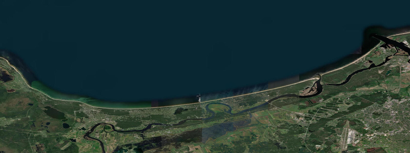
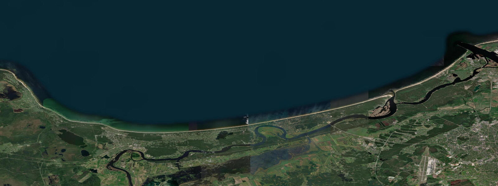
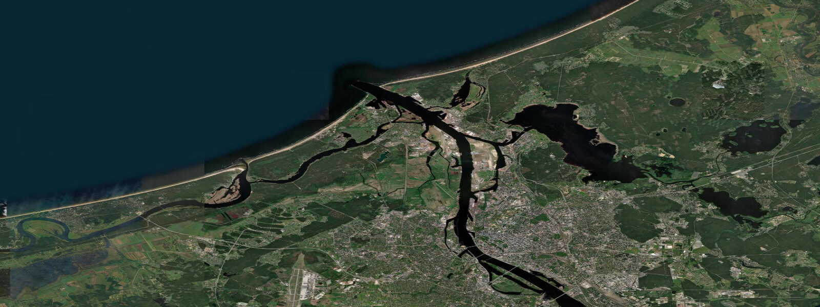
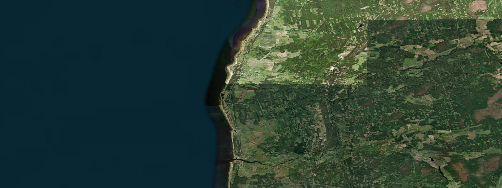
Jūrmala extends for 26 km along the southern shore of the Gulf of Riga between the Lielupe and Sloka rivers, a string of connected resort communities — Majori, Dzintari, Asari, Dubulti, Jaundubulti — backed by pine forest and fronted by fine white quartz sand. It is Latvia's primary beach destination, 25 km from Riga by commuter train (30 minutes from Riga Central Station), and the combination of accessibility and beach quality draws large summer crowds from Riga and beyond. The Art Nouveau and wooden functionalist summer houses built between 1890 and 1940 are Jūrmala's architectural signature: over 4,000 wooden buildings survive, representing the largest concentration of wooden holiday architecture in the Baltic states. Many are now private residences or boutique hotels; the most decorative are along Jomas Street and the residential streets between the train line and the beach.
The beach at Jūrmala faces north across the Gulf of Riga. The gulf narrows between Cape Kolka on the Latvian side and Cape Sõrve on the Estonian island of Saaremaa — a distance of roughly 35 km — and this funnel geometry affects the tidal signal: the Gulf of Riga experiences a spring range of 0.2 to 0.4 m, smaller than the open Baltic to the west and significantly smaller than the North Sea. In practical terms, the astronomical tide at Jūrmala is barely perceptible — the beach is wide and sandy, and the waterline moves only a few metres between high and low even on the largest spring tides.
What matters for water-level planning at Jūrmala is meteorology, not astronomy. The Gulf of Riga is enclosed enough that sustained southerly or southwesterly winds over 12 to 24 hours can raise the water level 30 to 50 cm above the predicted, pushing water toward Riga at the head of the gulf. Northerly winds drain the southern gulf and lower the water level, temporarily exposing more beach. Autumn and winter storm surges during major Baltic low-pressure events can produce water-level changes of 0.5 to 1.0 m — the events that matter for the Riga waterfront and the lower sections of Jūrmala beach.
Amber is found on Jūrmala beaches after northwest storms, when the wave action disturbs the Baltic seafloor and deposits amber fragments washed from the amber-bearing Eocene strata of the Baltic basin. The best amber-searching window is within 24 hours of a significant storm, at low water when the swash zone is accessible. Baltic amber (succinite) ranges from pale yellow to deep cognac in colour and floats in seawater briefly before the gas inclusions are displaced.
The Dzintari Concert Hall, opened in 1936 and rebuilt in 1960, is the main outdoor venue for the New Wave popular music festival held in late July — one of the larger pop music competitions in the post-Soviet space. The festival draws performers and audiences from Russia, Ukraine, Belarus, and the Baltic states.
Predictions on this page come from Open-Meteo Marine, a gridded global ocean model. At the Gulf of Riga's spring range of 0.2 to 0.4 m, the model's typical accuracy (plus or minus 45 minutes on timing, 0.2 to 0.3 m on height) is comparable to the total signal. For authoritative Latvian sea-level data, the LVĢMC operates gauges at Jūrmala (Majori) and publishes storm-surge warnings during Baltic weather events.
Tide questions about Jūrmala
Quick answers to the most common questions about tide times, range, and water access at Jūrmala.
When is the next high tide at Jūrmala?
The hero block at the top of this page shows the next predicted high at Jūrmala in local Eastern European Time (EET/EEST, UTC+2/UTC+3). Astronomical range in the Gulf of Riga is 0.2 to 0.4 m — small enough that the tide is barely perceptible on the wide sandy beach. What determines the actual water level at Jūrmala on any given day is wind direction and strength across the Gulf of Riga. The Latvian Environment, Geology and Meteorology Centre (LVĢMC) operates the Majori sea-level gauge and publishes the authoritative data.
What is the tidal range at Jūrmala?
Mean spring range in the Gulf of Riga at Jūrmala is 0.2 to 0.4 m — smaller than the open Baltic to the west because the Gulf of Riga is partly enclosed. Neap range can be as low as 0.1 to 0.2 m. Wind setup from sustained southerly and southwesterly winds can add 30 to 50 cm above the predicted level, and major Baltic storm surges can add 0.5 to 1.0 m. The beach is wide and the gradient gentle; the visually apparent change between high and low water is modest. Amber hunting after northwest storms is the activity most directly linked to sea conditions.
Where do these tide predictions come from?
Open-Meteo Marine, a free gridded global ocean model. At the Gulf of Riga's 0.2 to 0.4 m spring range, the model's typical accuracy (plus or minus 45 minutes, 0.2 to 0.3 m) is comparable to the total signal. For authoritative sea-level data, the LVĢMC operates gauges at Majori (Jūrmala) and Riga and publishes tide tables and storm-surge bulletins.
Is Jūrmala good for amber hunting?
Yes. Baltic amber (succinite) erodes from submarine Eocene deposits in the Baltic basin and is deposited on beaches during northwest storm swells. Jūrmala and the Gulf of Riga coast collect amber after significant autumn and winter storms — the 24 hours immediately following a storm, at low water, are the most productive search window. Amber floats in seawater briefly but loses buoyancy as pores fill, so it concentrates in the swash zone and in seaweed lines on the upper beach. Sizes range from 1 mm fragments to occasional 3 to 5 cm pieces; larger finds are rare. A walk along the wrack line at low water with a keen eye is all the equipment needed.
Is this safe to use for navigation?
No. TideTurtle is a planning tool for recreational coastal activity, not a navigation resource. The Gulf of Riga shipping lane (approaches to Riga Port) passes near the Jūrmala coast. The Latvian Maritime Administration publishes charts and Notices to Mariners for Latvian waters including the Gulf of Riga. Open-Meteo Marine gridded predictions do not replace authoritative navigation sources.
4-day tide table — Jūrmala
Heights relative to MSL. Predictions: Open-Meteo Marine (MeteoFrance SMOC, 0.08° grid) — heights relative to MSL (not chart datum / LAT). Model-derived.
| Day | Type | Time | Height |
|---|---|---|---|
| Sat 04 Jul | High | 20:00 | 0.3m |
| Sun 05 Jul | Low | 14:00 | 0.2m |
| Mon 06 Jul | Low | 19:00 | 0.2m |
| Tue 07 Jul | High | 19:00 | 0.4m |