Salacgrīva, Latvia tide times
Salacgrīva, Latvia tide forecast — heights relative to MSL.
Today's tide times for Salacgrīva, Latvia
Tide times at Salacgrīva, Latvia on Saturday, 4 July 2026: first low tide at 04:00am. Sunrise 04:28am, sunset 10:24pm.
Tide chart for Salacgrīva, Latvia
24-hour cosine-interpolated curve around the present moment. Heights relative to MSL. Predictions: Predictions: Open-Meteo Marine (MeteoFrance SMOC, 0.08° grid).
Sun, moon and conditions on Sat 04 Jul
Snapshot at build time — refreshes daily. Sea state from Open-Meteo Marine.
Highs and lows next 7 days
Every predicted high and low for the next week, with the daily tidal coefficient (0–120; higher = bigger swing, > 95 means stronger currents).
Other spots nearby
The three closest curated TideTurtle locations to Salacgrīva, Latvia, measured by great-circle distance.
Today's solunar windows
Solunar tradition: major periods are the ≈3h windows around moon transit and opposition; minor are ≈2h around moonrise and moonset. Pair with the local tide stage and wind for the best read.
About tides at Salacgrīva, Latvia
A short guide to the coastline at Salacgrīva, Latvia — geography, sea state, and what the tide is actually doing under your feet.
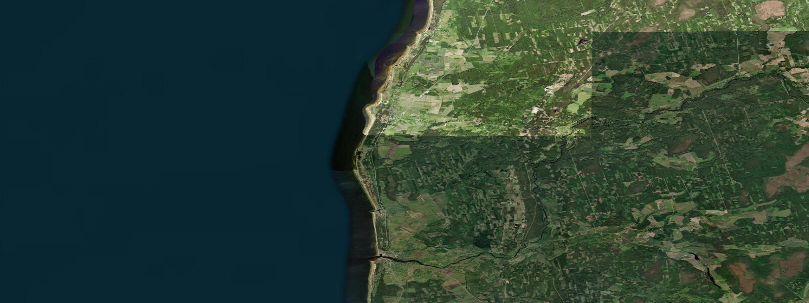
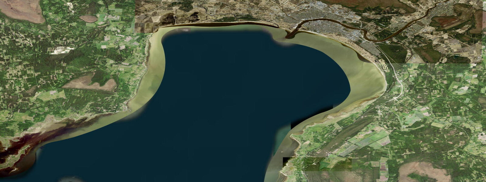
Salacgrīva sits at the mouth of the Salaca River on Latvia's northeastern coast, where the Gulf of Riga meets the more open waters approaching Estonia. It is Latvia's northernmost significant coastal port, roughly 100 km northeast of Riga, and holds a small fishing harbour that for centuries was among the more productive salmon rivers in the eastern Baltic region. The Salaca still supports a salmon run and is protected as part of the North Vidzeme Biosphere Reserve.
The Gulf of Riga is, like all of the Baltic, essentially non-tidal. Astronomical tidal range is under 0.2 m and is drowned out entirely by wind-driven and barometric water level variation. A northeast storm pushing water down the Gulf of Riga can raise coastal levels here by 1.5 m or more; the same wind building across the full Baltic fetch compounds the effect at the innermost corners of the gulf. The relevant measure for planning a boat launch or shore session at Salacgrīva is the wind forecast and the current sea state, not the predicted high water. Tide predictions on this site use Open-Meteo Marine; standard accuracy figures apply (±45 minutes on timing, ±0.2–0.3 m on height), but in the Baltic context the meteorological component dominates.
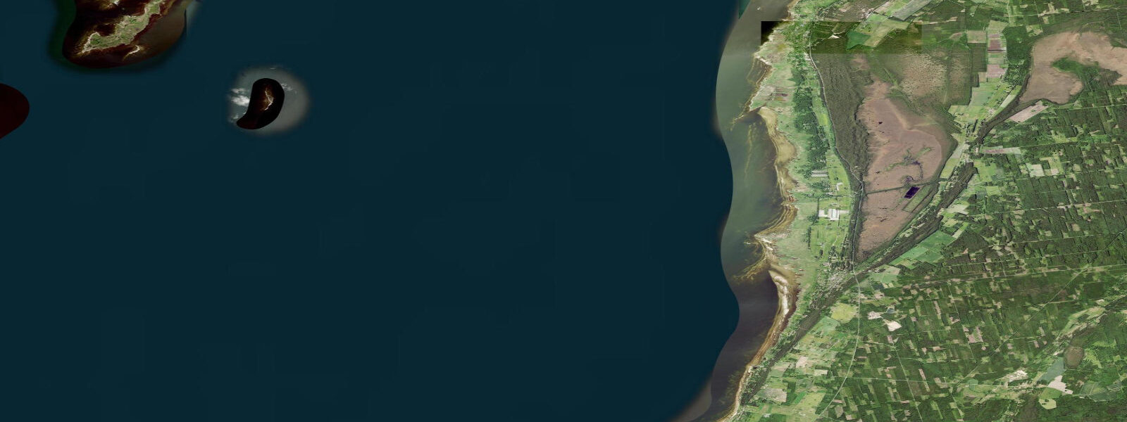
The river mouth at Salacgrīva is the primary feature shaping the coastal geography. The Salaca runs 95 km from its source near Mazsalaca through birch and pine forest to the coast, and the lower river holds the backwater effect of Baltic storm surges — a major weather event can push brackish water several kilometres upstream. The estuary and adjacent coastline are designated nature reserve — no powerboats above the bridge, no bank development.
For sea anglers, Salacgrīva's river mouth is productive for sea trout and salmon during the autumn run (September to November, with a spring run April to May). The estuary edge and nearshore gravel banks attract flounder and occasional Baltic cod in colder months. Spinning with heavy lures along the outer breakwater on an incoming meteorological surge is a reliable local method for sea trout. Licences for salmon and sea trout fishing are issued through Latvian State Forests (LVM) — available online by day or week.
The beach north of the harbour stretches toward Tuja and Ainaži — a continuous undeveloped strand backed by dunes and birch forest with almost no built infrastructure. Walking the beach at low meteorological sea level exposes foreshore that is normally underwater. Baltic amber is most commonly found after northeast storms that push bottom material toward the shore, depositing it in the storm wrack line mixed with seaweed and driftwood. Early morning after a storm, before other collectors arrive, gives the best odds of finding amber on this beach.
The town itself is small — around 2,500 people — with a working harbour rather than a tourist marina. There is a small guesthouse sector and a couple of cafes, but this is not a resort destination. The main draws are the nature reserve, the river fishing, and the quiet beach access. Latvian families from Riga use it as an easy weekend coast in summer. The Latvian-Estonian border is 20 km north at Ainaži — the coastal route ends here and the road turns inland to rejoin the Via Baltica.
The North Vidzeme Biosphere Reserve, which covers the coast and river valley on both sides of the Salaca, is Latvia's largest biosphere reserve. Ringed seals and grey seals haul out on offshore banks and are occasionally visible from the beach. White-tailed eagles are regular along the river corridor and the coast — the Salaca-Vidzeme area is one of the denser eagle breeding zones in Latvia.
Tide questions about Salacgrīva, Latvia
Quick answers to the most common questions about tide times, range, and water access at Salacgrīva, Latvia.
Can I fish for salmon at Salacgrīva?
The Salaca is one of Latvia's most significant salmon rivers and fishing is permitted under licence during the open season. The autumn run (September to November) is the main event — Atlantic salmon and sea trout moving upriver to spawn. A spring run also occurs April to May. Licences are required and issued per day or per week through the Latvian State Forests (LVM) system, bookable online. The river below the first weir is the primary fishing stretch accessible from Salacgrīva. Sea trout can also be caught at the river mouth along the outer breakwater on spinning gear, particularly on an incoming surge after onshore winds.
Is there a tide at Salacgrīva?
No meaningful astronomical tide. The Gulf of Riga and the broader Baltic Sea have a tidal range under 0.2 m — imperceptible against daily wind and barometric variation. Water levels at Salacgrīva are driven by meteorological factors: northeast storms push water down the Gulf of Riga and raise coastal levels by 1–1.5 m; southwest winds do the opposite. The tide predictions on this site use Open-Meteo Marine (±45 min / ±0.2–0.3 m accuracy) and give sea state context, but the wind and pressure forecast is the dominant factor for any planning involving the beach, harbour, or river mouth.
Where is the best place to find Baltic amber near Salacgrīva?
The beach north of the harbour toward Tuja is the most productive area after northeast storms, when bottom material is pushed inshore. Amber appears most commonly in the storm wrack line — the highest strand deposited by the last wave — mixed with seaweed and driftwood. Look for dull yellow-orange fragments in wet sand; amber looks very different when dry. Early morning after a storm, before other collectors arrive, gives the best odds. The beach here is backed by reserve land; personal collection is permitted but commercial collection requires authorisation from the biosphere reserve.
What wildlife can I see in the North Vidzeme Biosphere Reserve?
The reserve covers a large stretch of coast and river valley on both sides of the Salaca estuary. Ringed seals and grey seals haul out on offshore banks and are occasionally visible from the beach, particularly in late winter and spring when they rest between feeding bouts. White-tailed eagles are regular along the Salaca corridor — the Vidzeme coast is one of the denser breeding areas in Latvia. Beaver dams are visible on lower Salaca tributaries accessible on foot from the river path. The beach and dune edge hold nesting ringed plovers from April to July — marked nesting areas require giving birds a wide berth.
How do I reach Salacgrīva from Riga?
Salacgrīva is approximately 100 km northeast of Riga on the A1/E67 Via Baltica highway, with a turn onto the P14 coast road. By car, allow 1.5 hours. Regional bus services run from Riga North Station to Salacgrīva several times daily, taking around 2 hours. There is no rail connection to Salacgrīva itself — the nearest station with connections is Valmiera, about 35 km inland. The bus is the practical option for day visitors without a car. The harbour area and beach are both within walking distance of the bus stop in the town centre, which also has a small supermarket and fuel station.
4-day tide table — Salacgrīva, Latvia
Heights relative to MSL. Predictions: Open-Meteo Marine (MeteoFrance SMOC, 0.08° grid) — heights relative to MSL (not chart datum / LAT). Model-derived.
| Day | Type | Time | Height |
|---|---|---|---|
| Sat 04 Jul | Low | 04:00 | 0.2m |
| Sun 05 Jul | — | ||
| Mon 06 Jul | — | ||
| Tue 07 Jul | High | 04:00 | 0.4m |