Riga tide times
Riga tide forecast — heights relative to MSL.
Today's tide times for Riga
Tide times at Riga on Saturday, 27 June 2026: first low tide at 03:00am. Sunrise 04:31am, sunset 10:21pm.
Tide chart for Riga
24-hour cosine-interpolated curve around the present moment. Heights relative to MSL. Predictions: Predictions: Open-Meteo Marine (MeteoFrance SMOC, 0.08° grid).
Sun, moon and conditions on Sat 27 Jun
Snapshot at build time — refreshes daily. Sea state from Open-Meteo Marine.
Highs and lows next 7 days
Every predicted high and low for the next week, with the daily tidal coefficient (0–120; higher = bigger swing, > 95 means stronger currents).
Other spots nearby
The three closest curated TideTurtle locations to Riga, measured by great-circle distance.
Today's solunar windows
Solunar tradition: major periods are the ≈3h windows around moon transit and opposition; minor are ≈2h around moonrise and moonset. Pair with the local tide stage and wind for the best read.
About tides at Riga
A short guide to the coastline at Riga — geography, sea state, and what the tide is actually doing under your feet.
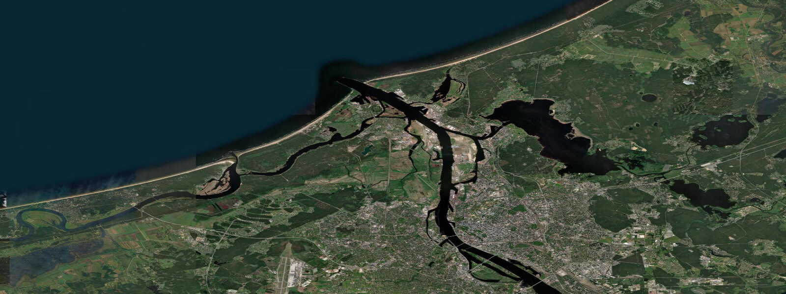
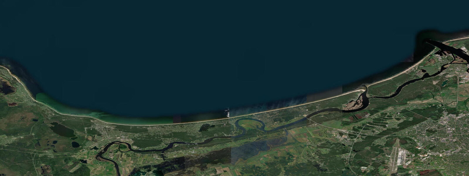
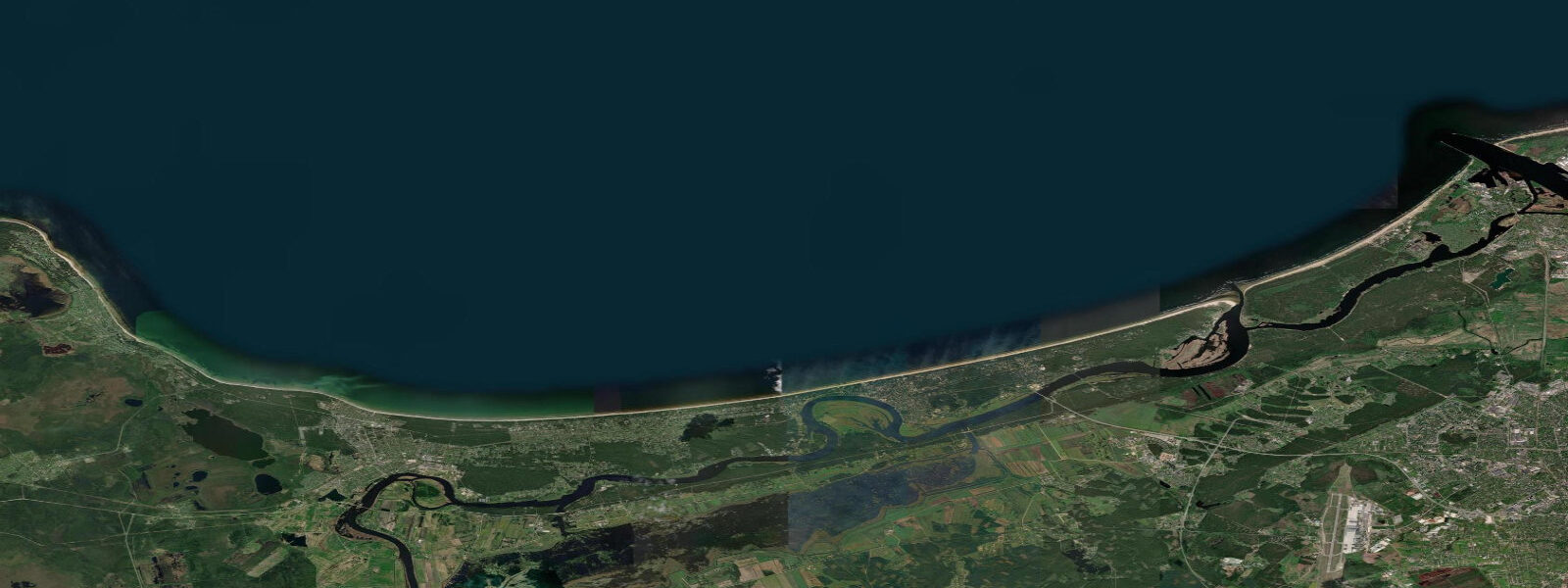
Riga stands at the mouth of the Daugava River, 15 km from the open Gulf of Riga. Latvia's capital is a UNESCO-listed Art Nouveau city and also the largest city in the Baltic states. The waterfront on the Daugava — the AB Dambis riverside promenade — runs for several kilometres through the city centre, and the river itself is a working waterway handling bulk cargo, tankers, and passenger river ferries. The Gulf of Riga, which receives the Daugava's discharge, is a semi-enclosed arm of the Baltic Sea with a dramatically different character from the open Baltic to its west and north.
The astronomical tidal range at Riga is 2–5 cm — a signal so small it is indistinguishable from the noise of wind waves and atmospheric pressure changes. The Baltic Sea connects to the North Sea through the narrow Danish straits, which damp the tidal wave before it reaches Latvia. What controls water level at Riga is the combined effect of: wind-driven setup in the Gulf of Riga; Baltic-wide barometric pressure gradients; and the Daugava River discharge, which peaks in April during snowmelt and can raise river levels in the city by 1–3 m above low-flow conditions.
For the practical user, the lesson at Riga is that the tide table is not the tool for planning shore or river activity. Wind is. A sustained westerly across the Gulf of Riga drives a seiche toward the eastern shore, raising water levels at Riga by 0.5–1.0 m above the mean. Storm surges — the combination of low pressure and strong wind — have historically raised Riga's waterfront by 2.5–3.0 m above the long-term mean, flooding the riverside promenade. The Latvian Environment, Geology and Meteorology Centre (LVGMC) issues flood warnings; the Riga waterfront is protected by a low flood wall on the AB Dambis side.
For recreational boaters and kayakers on the Daugava, the operating condition is governed by river current rather than tidal phase. Spring snowmelt current (April–May) in the main channel reaches 1.5–2.5 knots — manageable upstream with a motorised vessel, challenging by paddle. By summer low-flow, current drops to 0.3–0.8 knots. The river mouth opens into the Gulf of Riga at Mangaļsala, where a pair of piers extend into the Gulf. The pier tips are popular with sea fishermen; the ebb current off the river mouth concentrates fish on the Gulf side of the pier ends regardless of tidal phase, purely as a function of river discharge meeting the Gulf water.
For anglers at Riga, the Daugava mouth is the most productive urban fishing location. Sea trout and salmon enter the river in autumn (September–November) on their spawning run — the Daugava has a historic salmonid run that was interrupted by the Pļaviņas dam in the 1960s but partially restored by stocking programmes. Vimba (a Baltic cyprinid) runs upstream in May. In the Gulf of Riga itself, perch, pike-perch, and flounder are caught from the Mangaļsala piers. Water level and wind conditions, not tidal phase, determine the fishing conditions.
The beach at Jūrmala, 25 km west of Riga on the Gulf shore, is covered separately; Riga city itself has the river rather than a sea beach as its waterfront. The nearest sea swimming to central Riga is at Vecāķi on the Gulf shore, 15 km north of the city centre, accessible by city bus and electric train.
All tide predictions for Riga come from the Open-Meteo Marine gridded model. Timing accuracy is ±45 minutes; height accuracy is ±0.3 m above Chart Datum. At Riga, the astronomical tidal signal of 2–5 cm is well within the model's height uncertainty. Wind and river discharge dominate water level. The LVGMC coastal flood service (lvgmc.lv) is the operational source for water level warnings.
Tide questions about Riga
Quick answers to the most common questions about tide times, range, and water access at Riga.
Does Riga have real tides, and what controls water level on the Daugava waterfront?
Riga's astronomical tidal range is 2–5 cm — effectively zero. The Baltic Sea's restricted connection to the North Sea prevents a meaningful tidal wave from reaching the Gulf of Riga. Water level on the Riga waterfront is controlled by three overlapping drivers: wind setup in the Gulf of Riga (sustained westerlies raise levels 0.5–1.0 m), Baltic-wide barometric pressure changes, and Daugava River discharge (spring snowmelt in April raises the river 1–3 m above low-flow level). Storm surges have historically reached 2.5–3.0 m above mean at the riverside promenade. Check LVGMC (lvgmc.lv) for water level warnings rather than a tide chart.
Can salmon and sea trout be caught from the Daugava at Riga?
Yes. The Daugava has a managed salmonid run: sea trout and Baltic salmon enter the river on their autumn spawning run from September through November. The run was severely reduced by the construction of the Pļaviņas hydroelectric dam in the 1960s, which blocked the upper river, but stocking programmes have maintained a fishable population in the lower river below the dam. The best access in the Riga area is at Mangaļsala pier and the river mouth zone. Current speeds in the Daugava — 1.5–2.5 knots on spring snowmelt, 0.3–0.8 knots in summer — are more relevant to fishing access than any tidal variable. Fishing regulations require a licence; check Latvian State Forest Service (lvm.lv) for current rules.
Where can you swim near Riga and how does water level affect the beach?
Central Riga is a river-and-port city without a sea beach. The nearest sea swimming is at Vecāķi on the Gulf of Riga shore, 15 km north, accessible by city electric train (Riga–Skulte line). Jūrmala, 25 km west, is the main resort beach. Water level on the Gulf shore is wind-driven, not tidal: a westerly wind can raise the eastern shore of the Gulf by 0.5–1.0 m, reducing beach width and increasing wave height. The astronomical tidal range of 2–5 cm has no perceptible effect on beach conditions. The bathing season runs June through August; water temperature peaks at 18–21 °C in the Gulf.
Is the Daugava River safe for kayaking through Riga?
The Daugava through central Riga is navigable by kayak but requires awareness of commercial traffic — tankers and cargo vessels use the river to the port of Riga, which extends through the city centre. The main channel is marked; small craft should hug the bank away from the commercial fairway. River current in summer low-flow is 0.3–0.8 knots — manageable upstream by paddle. In April–May spring snowmelt, current in the main channel reaches 1.5–2.5 knots and floating debris is common; upstream paddling is not practical during this period. The river mouth piers at Mangaļsala, 15 km downstream, are a rewarding day-paddle destination with good fishing from the pier ends.
What is the flood risk at Riga's waterfront?
The AB Dambis riverside promenade in central Riga is in the flood zone for severe storm-surge events. Historical surges have raised the waterfront 2.5–3.0 m above the long-term mean during the most extreme Baltic westerly storm events. The promenade is protected by a low flood wall on the river-facing side; the old city behind it sits at a slightly higher elevation. The Latvian Environment, Geology and Meteorology Centre (LVGMC) issues flood warnings through lvgmc.lv. Storm-surge risk is highest in autumn and winter (October–February), when deep Atlantic depressions track across the Baltic. Spring flood risk is driven by Daugava snowmelt rather than surge.
8-day tide table — Riga
Heights relative to MSL. Predictions: Open-Meteo Marine (MeteoFrance SMOC, 0.08° grid) — heights relative to MSL (not chart datum / LAT). Model-derived.
| Day | Type | Time | Height |
|---|---|---|---|
| Sat 27 Jun | Low | 03:00 | -0.1m |
| Sun 28 Jun | — | ||
| Mon 29 Jun | — | ||
| Tue 30 Jun | — | ||
| Wed 01 Jul | High | 14:00 | -0.0m |
| Thu 02 Jul | Low | 20:00 | 0.1m |
| Fri 03 Jul | — | ||
| Sat 04 Jul | High | 02:00 | 0.1m |