Boubyan Island tide times
Boubyan Island tide forecast — heights relative to MSL.
Today's tide times for Boubyan Island
Tide times at Boubyan Island on Saturday, 4 July 2026: first high tide at 12:54pm, first low tide at 08:12pm. Sunrise 04:50am, sunset 06:51pm.
Tide chart for Boubyan Island
24-hour cosine-interpolated curve around the present moment. Heights relative to MSL. Predictions: Predictions: Open-Meteo Marine (MeteoFrance SMOC, 0.08° grid).
Sun, moon and conditions on Sat 04 Jul
Snapshot at build time — refreshes daily. Sea state from Open-Meteo Marine.
Highs and lows next 7 days
Every predicted high and low for the next week, with the daily tidal coefficient (0–120; higher = bigger swing, > 95 means stronger currents).
Other spots nearby
The three closest curated TideTurtle locations to Boubyan Island, measured by great-circle distance.
Today's solunar windows
Solunar tradition: major periods are the ≈3h windows around moon transit and opposition; minor are ≈2h around moonrise and moonset. Pair with the local tide stage and wind for the best read.
Cycle dates near Boubyan Island
Last spring tide on Sat 04 Jul (range 2.7m). Next spring tide on Fri 10 Jul (range 2.3m). Next neap on Wed 08 Jul.
Spring tides cluster around new and full moons (biggest swings). Neap tides land on quarter moons (smallest swings). See the spring tide and neap tide glossary entries for the why.
About tides at Boubyan Island
A short guide to the coastline at Boubyan Island — geography, sea state, and what the tide is actually doing under your feet.
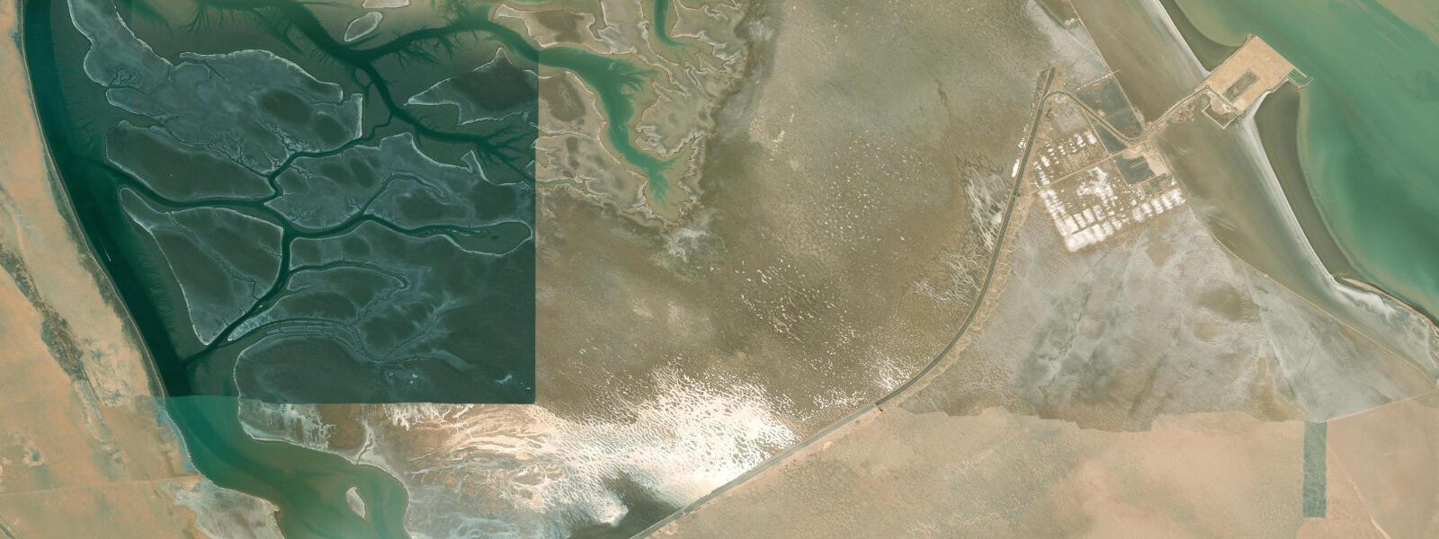
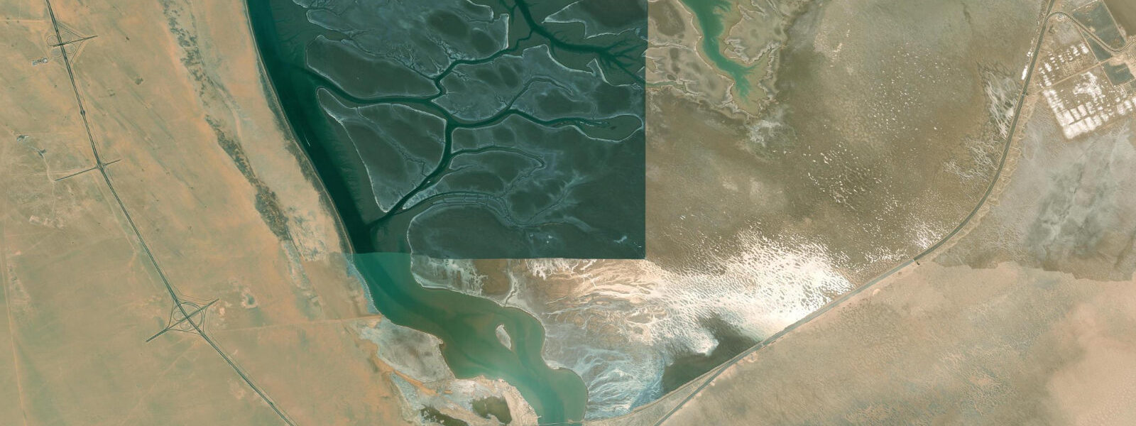
Boubyan Island is Kuwait's largest island — roughly 860 square kilometres — in the northern part of Kuwait Bay, separated from the mainland by the Khor Abdullah waterway to the east and connected to it by a long bridge that crosses to the port development at the island's northern tip. The island is flat, low-lying, and uninhabited except for the new Mubarak Al-Kabeer Port under construction on its northern shore. Most of Boubyan remains desert and tidal flat, with the entire southern half designated as a nature reserve.
The ecological value of Boubyan is centred on its extensive intertidal mudflat and salt marsh system. The tidal flats around the island's southern and western margins are among the most significant bird habitats in Kuwait, supporting tens of thousands of wading birds and waterfowl during migration and winter. Greater flamingo flocks of several hundred to a few thousand birds are present from October through April.
Tide predictions for Boubyan use Open-Meteo Marine's global model. Timing accuracy ±45 minutes, height accuracy ±0.2 to 0.3 metres. Kuwait Bay exhibits mixed semidiurnal tides with significant diurnal inequality; spring range runs 2.0 to 3.0 metres — at the higher end for the Gulf. The shallow bay amplifies the tidal effect: extensive mudflats are exposed at low tide and completely covered at high. The tidal cycle here is the primary driver of bird feeding access; the best wildlife observation is on a falling tide as birds follow the receding waterline over the newly exposed mud.
The Khor Abdullah between Boubyan and the Iraqi border is a strategic waterway — one of the key navigational points in this section of the northwestern Gulf. The Iraq-Kuwait maritime boundary runs through the waterway; Boubyan's northern port development is partly motivated by Kuwait's need for an alternative deep-water port to Shuwaikh and Shuaiba.
Access to Boubyan Island is via the Boubyan Bridge from the Sulaibikhat/Kuwait City direction — a road journey of about 60 kilometres from central Kuwait City. The bridge is a public road, but the island is a military-administered area: access to most of the island beyond the road corridor requires permits. The nature reserve area in the southern half has limited formal public access; birdwatching is done from the bridge and the approach roads, using the elevated road alignment as an observation platform over the surrounding tidal flat.
The new Mubarak Al-Kabeer Port, if completed to its planned scale, will fundamentally change the northern tip of the island. Development timelines for large infrastructure projects in the Gulf are variable; confirm current construction status before visiting.
The strategic significance of Boubyan Island in regional geopolitics cannot be separated from the coastal and ecological description. Iraq has historically contested Kuwait's sovereignty over the island; the island's position adjacent to the Khor Abdullah waterway — Iraq's primary maritime access to the Gulf via Umm Qasr port — makes control of Boubyan a persistent point of Iraq-Kuwait diplomatic tension. The Mubarak Al-Kabeer Port development on the northern tip of the island has been particularly contentious; Iraq argues the port will obstruct Iraqi maritime access. This context is the reason the island remains under military administration rather than having been developed as a civilian recreation area.
The mudflat ecosystem of southern Boubyan is supported by the high productivity of Kuwait Bay. The bay receives nutrient-rich input from the Shatt al-Arab discharge at its head and from the tidal exchange with the open Gulf at its mouth. The resulting phytoplankton productivity supports large populations of bivalves and other infaunal invertebrates in the mudflat sediment — the food base for the wading bird populations. The bay's semi-enclosed character also means that pollutant loads from Kuwait City's industrial and urban runoff accumulate; environmental monitoring of Kuwait Bay sediments is an ongoing concern.
The long bridge to Boubyan — approximately 15 kilometres of road raised above the tidal flat — is a significant engineering structure offering a unique perspective on the Gulf tidal flat from above. Driving the bridge at low water on a spring tide exposes the full extent of the mud flat stretching in all directions, with the thin ribbon of road seeming fragile above the flat expanse of intertidal habitat.
Tide questions about Boubyan Island
Quick answers to the most common questions about tide times, range, and water access at Boubyan Island.
What is the tidal range at Boubyan Island?
Boubyan Island is in Kuwait Bay, where the Gulf's mixed semidiurnal tides produce a spring range of approximately 2.0 to 3.0 metres — higher than the open Gulf to the south due to the bay's resonance characteristics. Diurnal inequality is significant; some tidal cycles approach a diurnal pattern. Tide predictions use Open-Meteo Marine's global model, with ±45 minutes timing accuracy and ±0.2 to 0.3 metres height accuracy. The large range over shallow tidal flats means the exposed mud area at low spring tide is enormous — bird feeding zones extend hundreds of metres from the shoreline.
What birds can I see at Boubyan Island?
Boubyan's southern tidal flats are among Kuwait's most important wetland bird sites. During October through April, regularly recorded species include greater flamingo (flocks of hundreds to thousands), dunlin, curlew sandpiper, red-necked stint, grey plover, bar-tailed godwit, Eurasian curlew, and multiple heron and egret species. Passage periods (September through November and March through May) bring the widest variety, including scarcer waders and terns. The Dalmatian pelican and the spotted eagle are recorded in winter. Observation is primarily from the Boubyan Bridge road alignment; bring a telescope.
Can I visit the Boubyan Island nature reserve?
Boubyan Island is a military-administered area. The public road access is via the Boubyan Bridge, which provides good elevated views of the surrounding tidal flats. The designated nature reserve area in the southern half of the island has no formal public access infrastructure; permits from Kuwait's Environment Public Authority (KEPA) are required for access beyond the road corridor. Birding trips to Boubyan are typically done from the bridge and the approach road embankment, which provides useful elevated viewpoints over the flats without requiring interior access. Contact KEPA or a local ornithological society for the current permit procedure.
What is the Mubarak Al-Kabeer Port?
The Mubarak Al-Kabeer Port is a planned deep-water port development on the northern tip of Boubyan Island, intended to become one of the major container and commercial ports in the northwestern Gulf. The project has been in various stages of planning and development since the 2000s. When operational, it is intended to reduce Kuwait's dependence on the Shuwaikh and Shuaiba ports on the main island and to develop Boubyan as a logistics hub. The port's development has been controversial regarding its potential impact on the island's tidal flat habitat and bird populations.
How far is Boubyan Island from Kuwait City?
The Boubyan Bridge starts at Sulaibikhat on the mainland, approximately 40 kilometres north of central Kuwait City. The total journey from Kuwait City to the bridge crossing is 40 to 50 minutes by car. The bridge itself is approximately 15 kilometres long, crossing the tidal flat and waterways between the mainland and the island. The road access gives views of the tidal flat bird activity during the crossing. There is no public transport to Boubyan Island; a private vehicle is required.
8-day tide table — Boubyan Island
Heights relative to MSL. Predictions: Open-Meteo Marine (MeteoFrance SMOC, 0.08° grid) — heights relative to MSL (not chart datum / LAT). Model-derived.
| Day | Type | Time | Height |
|---|---|---|---|
| Sat 04 Jul | High | 12:54 | 1.7m |
| Low | 20:12 | -1.1m | |
| Sun 05 Jul | High | 02:45 | 1.3m |
| Low | 08:18 | 0.2m | |
| High | 13:34 | 1.4m | |
| Low | 20:41 | -1.1m | |
| Mon 06 Jul | High | 03:13 | 1.2m |
| Low | 09:04 | -0.1m | |
| High | 14:18 | 1.1m | |
| Low | 21:11 | -1.1m | |
| Tue 07 Jul | High | 03:41 | 1.2m |
| Low | 09:56 | -0.4m | |
| High | 15:10 | 0.8m | |
| Low | 21:43 | -0.9m | |
| Wed 08 Jul | High | 04:14 | 1.2m |
| Low | 10:48 | -0.5m | |
| High | 16:11 | 0.7m | |
| Low | 22:19 | -0.7m | |
| Thu 09 Jul | High | 04:49 | 1.3m |
| Low | 11:48 | -0.8m | |
| High | 17:22 | 0.4m | |
| Low | 22:58 | -0.5m | |
| Fri 10 Jul | High | 05:36 | 1.2m |
| Low | 13:00 | -1.1m | |
| High | 19:19 | 0.3m | |
| Low | 23:46 | -0.2m | |
| Sat 11 Jul | High | 02:00 | 0.1m |