Salmiya tide times
Salmiya tide forecast — heights relative to MSL.
Today's tide times for Salmiya
Tide times at Salmiya on Saturday, 27 June 2026: first low tide at 03:00am, first high tide at 08:56am, second low tide at 04:33pm, second high tide at 11:57pm. Sunrise 04:50am, sunset 06:51pm.
Tide chart for Salmiya
24-hour cosine-interpolated curve around the present moment. Heights relative to MSL. Predictions: Predictions: Open-Meteo Marine (MeteoFrance SMOC, 0.08° grid).
Sun, moon and conditions on Sat 27 Jun
Snapshot at build time — refreshes daily. Sea state from Open-Meteo Marine.
Highs and lows next 7 days
Every predicted high and low for the next week, with the daily tidal coefficient (0–120; higher = bigger swing, > 95 means stronger currents).
Other spots nearby
The three closest curated TideTurtle locations to Salmiya, measured by great-circle distance.
Today's solunar windows
Solunar tradition: major periods are the ≈3h windows around moon transit and opposition; minor are ≈2h around moonrise and moonset. Pair with the local tide stage and wind for the best read.
Cycle dates near Salmiya
Next spring tide on Thu 02 Jul (range 2.8m). Last neap on Sat 27 Jun.
Spring tides cluster around new and full moons (biggest swings). Neap tides land on quarter moons (smallest swings). See the spring tide and neap tide glossary entries for the why.
About tides at Salmiya
A short guide to the coastline at Salmiya — geography, sea state, and what the tide is actually doing under your feet.
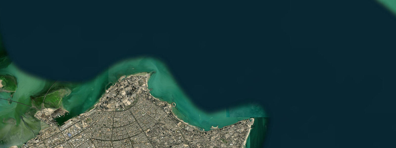
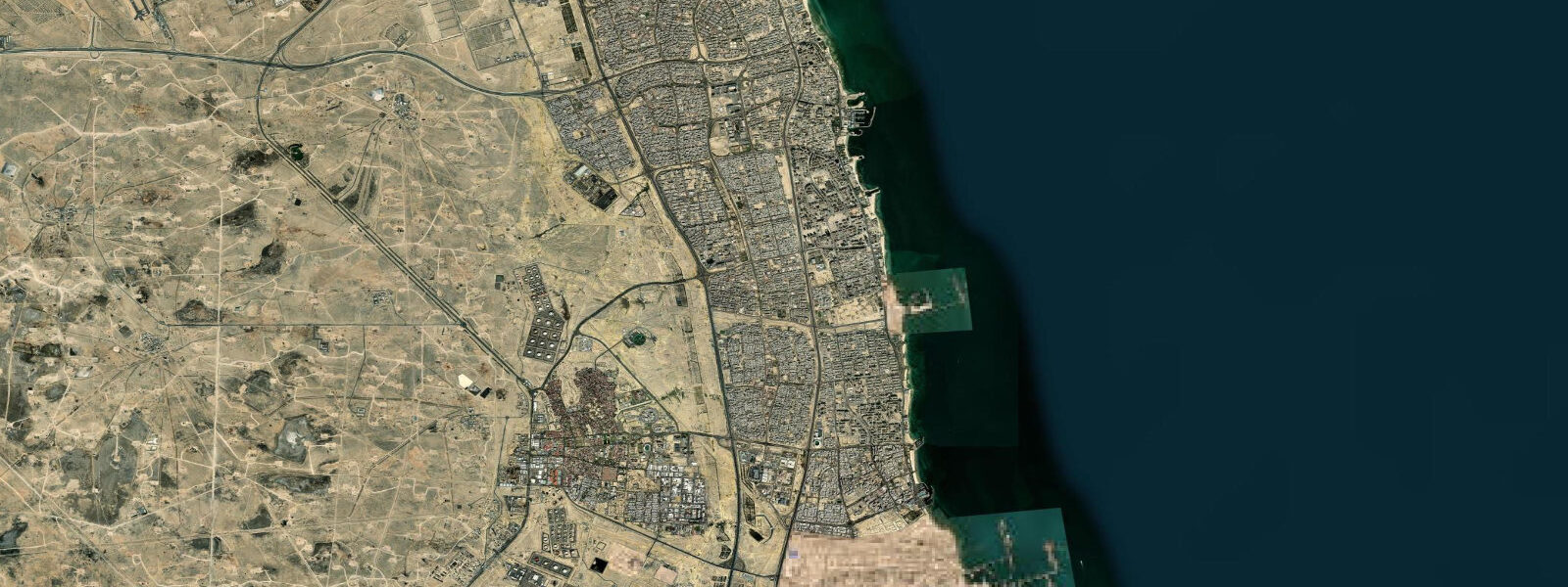
Salmiya is Kuwait's main urban beach resort district, 7 km southeast of Kuwait City on the Gulf coast, where the Arabian Gulf shore faces east rather than north into Kuwait Bay. The district runs along the Gulf Road (Arabian Gulf Street) and includes Marina Crescent — the modern waterfront development with restaurants and the Kuwait Marina — as well as the traditional family beach areas at the south end of the district. The shift from the Kuwait Bay orientation to the open Gulf coast means Salmiya's waters have slightly stronger exchange with the deeper Arabian Gulf than the bay-facing corniche.
The tidal regime at Salmiya is identical to Kuwait City: mixed semidiurnal Arabian Gulf tides, spring range 2.0–2.2 m, pronounced diurnal inequality. The east-facing Gulf coast at Salmiya sees the same tidal range as the bay, but the shallow Gulf coastline in this direction is more exposed to the southeast (Koos) wind and waves in summer, when the prevailing southeasterly generates short, steep chop across the shallow Gulf bottom. Water temperature on the open Gulf coast at Salmiya ranges from 16 °C in January to 34–35 °C in August — some of the warmest sea temperatures on Earth in summer.
For the Kuwait Marina at Salmiya, the tidal range of 2.0–2.2 m on springs is a real operational parameter. The approach channel to the marina is in 3.0–4.0 m at mean water; at spring low water (near 0.0 m CD at Kuwait), channel depth drops to approximately 1.0–2.0 m in the shallower sections. Vessels drawing over 1.5 m planning entry on spring tides should time arrival to reach the marina entrance no earlier than 3 hours before predicted high water. Fixed pontoon heights in the marina create freeboards that are significantly lower at high spring water than at low water — a factor for loading and unloading boats.
For the public beach areas at the south end of Salmiya district, the spring tidal range produces a beach width change of 30–50 m between high and low water on the gentle gradient Gulf bottom. At high spring water, the beach narrows to a strip 10–15 m wide between the promenade and the waterline. At low spring water, the exposed tidal flat extends 40–60 m from the promenade edge, revealing sand and shell bottom that is popular for wading children. The tidal flat substrate is soft fine sand with scattered shell; it is firm to walk on at the waterline but softer toward the mid-flat.
The summer season at Salmiya beach is July–August when sea temperature reaches 34–35 °C. This warmth supports jellyfish blooms in the Arabian Gulf, particularly the moon jellyfish (Aurelia aurita) and the larger barrel jellyfish in late summer. Kuwait's coastal management authority posts jellyfish warnings at beach access points; check before wading on the tidal flats.
For recreational boaters operating from Kuwait Marina, the shallow Gulf bottom around Salmiya requires awareness of charted depths and tidal state on low-water excursions. The 2.0 m spring range means that areas showing 2.5 m on the chart have only 0.5 m of water at spring low water. GPS chart plotters should be set to show predicted depth (charted depth minus tide height), not charted depth alone, when operating in the shallow Gulf zones.
For anglers, the Marina Crescent fishing pier at the north end of the district is accessible for shore fishing. Hamour, kingfish (Scomberomorus commerson), and snapper are targeted. Kingfish run along the Gulf coast in winter (November–February) when Gulf water cools to 18–22 °C and are a popular shore-casting target. The ebb tide off the pier creates a current line that concentrates predators in the hour before and after low water.
All tide predictions for Salmiya come from the Open-Meteo Marine gridded model. Timing accuracy is ±45 minutes; height accuracy is ±0.3 m above Chart Datum.
Tide questions about Salmiya
Quick answers to the most common questions about tide times, range, and water access at Salmiya.
How do tides affect the beach width at Salmiya?
Salmiya's Gulf beach has a gentle gradient and a spring tidal range of 2.0–2.2 m, which produces a 30–50 m change in beach width between high and low water. At high spring water, the beach narrows to 10–15 m between the promenade and the waterline — a tight strip for sun loungers and beach activities. At low spring water, the exposed tidal flat extends 40–60 m from the promenade, revealing firm sand and shell bottom suitable for wading. Families with young children find the low-water tidal flat the most accessible wading environment. The exposed flat can be 30–34 °C in July and August — uncomfortably warm for extended walking barefoot. Tide predictions from Open-Meteo carry ±45 minutes and ±0.3 m uncertainty.
What is the sea temperature at Salmiya and is it comfortable for swimming?
Salmiya's Arabian Gulf sea temperature is some of the most extreme on Earth seasonally: 16 °C in January and February, rising through 24 °C in April, peaking at 34–35 °C in late July and August, then cooling through 28 °C in October. Summer temperatures above 32 °C are too warm for extended comfortable swimming for most people and can cause heat stress in children. The optimal swimming season for comfortable water temperature is October–November (26–28 °C) and March–April (20–24 °C). The February–March period is cold by Gulf standards but popular with winter-resident expatriates from colder climates.
Can vessels drawing 2.0 m enter Kuwait Marina at Salmiya at any tidal state?
The Kuwait Marina approach channel at Salmiya has approximately 3.0–4.0 m at mean water in the main channel, but shallow sections exist in the approach. With a spring low water near 0.0 m CD at Kuwait, channel depth in the shallower approach sections drops to 1.0–2.0 m. Vessels drawing 2.0 m have minimal margin at spring low water in these sections. Arrival timing should target the rising tide: aim to reach the marina entrance no earlier than 3 hours before predicted high water on spring tides. Contact the marina office by VHF or phone for current channel depth information before approach; silting patterns in Gulf marinas change seasonally.
Are jellyfish a risk in Salmiya's tidal zone?
Jellyfish blooms are a periodic feature of Kuwait's Arabian Gulf coast. Moon jellyfish (Aurelia aurita) are the most common and cause mild stings. Larger barrel jellyfish and Portuguese man-o'-war are less frequent but produce more serious stings. Bloom timing correlates with warm, calm, high-salinity conditions — typically August and September in the Gulf. Kuwait's coastal management posts jellyfish warnings at beach access points when blooms are detected near the Salmiya shore. Check warning flags before wading on the tidal flats. If you encounter jellyfish on the flat, exit the water and rinse with seawater (not freshwater). The tidal flat exposure at low water can strand jellyfish on the sand — walk carefully.
When is kingfish season at Salmiya and how does tide affect shore fishing?
Narrow-barred Spanish mackerel (kingfish, Scomberomorus commerson) run Kuwait's open Gulf coast in November through February when Gulf water cools to 18–22 °C. Shore casting with lures from the Marina Crescent pier produces kingfish during active runs. The ebb current off the pier end — the 60–90 minutes on either side of low water — creates a current line that concentrates baitfish and attracts kingfish and hamour. Morning sessions before 08:00 avoid boat traffic and coincide with the best dawn feeding window. A Kuwait fishing permit is required for sport fishing from public piers.
8-day tide table — Salmiya
Heights relative to MSL. Predictions: Open-Meteo Marine (MeteoFrance SMOC, 0.08° grid) — heights relative to MSL (not chart datum / LAT). Model-derived.
| Day | Type | Time | Height |
|---|---|---|---|
| Sat 27 Jun | Low | 03:00 | 0.4m |
| High | 08:56 | 1.4m | |
| Low | 16:33 | -0.8m | |
| High | 23:57 | 0.9m | |
| Sun 28 Jun | Low | 03:46 | 0.6m |
| High | 09:33 | 1.5m | |
| Low | 17:16 | -0.9m | |
| Mon 29 Jun | High | 00:36 | 0.9m |
| Low | 04:42 | 0.5m | |
| High | 10:13 | 1.5m | |
| Low | 17:57 | -1.1m | |
| Tue 30 Jun | High | 01:02 | 0.8m |
| Low | 05:11 | 0.4m | |
| High | 10:48 | 1.5m | |
| Low | 18:32 | -1.2m | |
| Wed 01 Jul | High | 11:26 | 1.5m |
| Low | 19:04 | -1.3m | |
| Thu 02 Jul | High | 02:06 | 0.9m |
| Low | 06:37 | 0.4m | |
| High | 12:01 | 1.5m | |
| Low | 19:38 | -1.3m | |
| Fri 03 Jul | High | 02:23 | 1.0m |
| Low | 07:12 | 0.3m | |
| High | 12:37 | 1.5m | |
| Low | 20:05 | -1.3m | |
| Sat 04 Jul | High | 02:00 | 0.9m |