Bubiyan Island tide times
Bubiyan Island tide forecast — heights relative to MSL.
Today's tide times for Bubiyan Island
Tide times at Bubiyan Island on Saturday, 4 July 2026: first high tide at 03:00am, first low tide at 08:04am, second high tide at 01:22pm, second low tide at 08:41pm. Sunrise 04:51am, sunset 06:52pm.
Tide chart for Bubiyan Island
24-hour cosine-interpolated curve around the present moment. Heights relative to MSL. Predictions: Predictions: Open-Meteo Marine (MeteoFrance SMOC, 0.08° grid).
Sun, moon and conditions on Sat 04 Jul
Snapshot at build time — refreshes daily. Sea state from Open-Meteo Marine.
Highs and lows next 7 days
Every predicted high and low for the next week, with the daily tidal coefficient (0–120; higher = bigger swing, > 95 means stronger currents).
Other spots nearby
The three closest curated TideTurtle locations to Bubiyan Island, measured by great-circle distance.
Today's solunar windows
Solunar tradition: major periods are the ≈3h windows around moon transit and opposition; minor are ≈2h around moonrise and moonset. Pair with the local tide stage and wind for the best read.
Cycle dates near Bubiyan Island
Last spring tide on Sat 04 Jul (range 2.8m). Next spring tide on Fri 10 Jul (range 2.4m). Next neap on Wed 08 Jul.
Spring tides cluster around new and full moons (biggest swings). Neap tides land on quarter moons (smallest swings). See the spring tide and neap tide glossary entries for the why.
About tides at Bubiyan Island
A short guide to the coastline at Bubiyan Island — geography, sea state, and what the tide is actually doing under your feet.
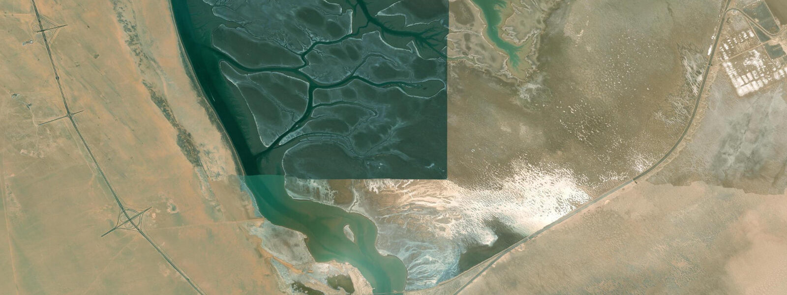
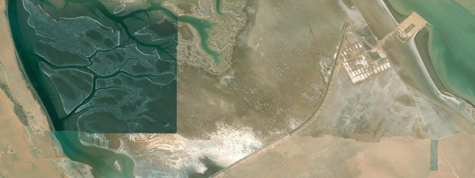
Bubiyan Island is Kuwait's largest island, an immense flat deltaic landmass at the northern end of Kuwait Bay where the Shatt al-Arab river system meets the Gulf. It is almost entirely uninhabited — the Kuwait military controls access and civilian visits require permits — making it one of the Gulf's last truly wild coastal zones. The island's flatness and its position at the confluence of river-influenced and marine water gives it unusual ecological character: a mixture of tidal mudflats, mangrove patches, and shallow coastal marsh that supports extraordinary numbers of migratory birds and marine species.
Tides at Bubiyan are among the most variable in the Arabian Gulf. The northern Gulf funnels tidal energy, and spring tidal ranges here can exceed 2.0-2.5 m — among the largest in the entire Gulf basin. The mudflats exposed at low tide extend for kilometres and are critical feeding grounds for shorebirds during the spring and autumn migration periods. The water is turbid and heavily influenced by the Shatt al-Arab discharge from the north, which reduces salinity and visibility near the northern shores of the island. Further south and east, away from the river influence, the water clears and becomes more typically Gulf-marine in character, with better visibility and higher salinity.
For wildlife observation, Bubiyan is genuinely remarkable by any regional standard. Tens of thousands of migratory birds pass through in March-April and September-October, using the island's mudflats as a critical refuelling stop on the East Africa and West Asia flyway. Flamingos, waders, terns, herons, and raptors use the coast in different seasons. The waters around the island's eastern shore support important populations of sooty falcon and the mudflats have documented importance for several declining shorebird species whose global populations are under pressure.
Access is the practical constraint for any visit. Civilian boat access to the island requires coordination with Kuwaiti authorities. The main bridge connecting Bubiyan to the mainland (the Sheikh Jaber Causeway) is primarily for military and official use, not open to the general public. Some organised wildlife tours operate with the appropriate permits, typically during the spring migration peak when the birdlife is most spectacular. The reward for the effort involved in gaining access is a coast that looks and feels nothing like the developed Gulf coastline further south.
Fishing around Bubiyan's outer shores — away from the turbid northern delta channels — is productive ground. The strong tidal flows over the shallow eastern banks push baitfish into concentrated zones that attract larger predators. Locally, the island's surrounding waters are known for shrimp, and commercial shrimp trawling has historically operated in these shallows during the regulated season. The fish diversity on the reef patches off the island's southern tip is higher than in Kuwait Bay proper, making it a sought-after destination for permitted boat fishing trips from Kuwait City's main harbour.
The tidal dynamics around Bubiyan make it one of the Gulf's most productive ecological zones. The mixing of Shatt al-Arab freshwater with marine Gulf water creates a nutrient-rich environment that supports the base of the food web — phytoplankton, zooplankton, juvenile fish — in quantities that explain the bird and mammal populations the island supports. Understanding the tide is understanding the island: the rhythm of flooding and draining mudflats is the engine of the whole system, and the large tidal range is what makes it work at the scale it does. Any boat trip to the island's outer shores passes through some of the most ecologically productive shallow water in the Gulf — a transition from the turbid delta zone to cleaner offshore water that is visibly apparent in the colour and clarity of the sea beneath the hull.
Tide questions about Bubiyan Island
Quick answers to the most common questions about tide times, range, and water access at Bubiyan Island.
What are tides like at Bubiyan Island?
Bubiyan is in the northern Gulf where tidal forcing is amplified by the basin geometry. Spring tidal ranges of 2.0-2.5 m are typical, among the largest in the Arabian Gulf. This translates to dramatic intertidal zones — the mudflats exposed at low tide extend for kilometres in places. The tidal pattern is semi-diurnal. The interaction between Gulf tides and freshwater discharge from the Shatt al-Arab system to the north adds complexity near the northern channels: river discharge levels affect water levels and the timing of tidal reversals. Open-Meteo gridded tide estimates are less accurate in this transitional zone than at open-coast Gulf sites — treat predictions as indicative (±1 hour, ±0.4 m) and plan with additional margin when timing access by boat.
Can I visit Bubiyan Island, and how do I get there?
Bubiyan is a military-controlled zone and civilian access requires advance permission from Kuwaiti authorities. The Sheikh Jaber Causeway bridge is not open for general public access. Organised wildlife tour operators occasionally run permitted visits, typically during the peak spring migration in March-April. Boat access to the outer shores and surrounding waters requires separate clearance. If visiting Kuwait with an interest in seeing the island, the best approach is to contact the Kuwait Environment Public Authority or work through a licensed local tour operator who has existing relationships with the relevant authorities. Do not attempt to approach the island from the water without prior permits, as enforcement is taken seriously by the Kuwaiti military.
What wildlife can be seen around Bubiyan Island?
Bubiyan's mudflats and shallow coastal waters are among the most important wildlife habitats in the Arabian Gulf. During spring migration (March-April) and autumn migration (September-October), tens of thousands of shorebirds and waders use the island's tidal flats as a critical stopover — species include broad-billed sandpiper, Eurasian curlew, bar-tailed godwit, and greater flamingo in flocks sometimes numbering thousands. Sooty falcon nest on the island. Dugong have been recorded in the surrounding shallows. The fish diversity in the surrounding waters is high and includes commercially important species like grouper, snapper, and shrimp. Dolphins (bottlenose and finless porpoise) are regularly observed in the channels around the island throughout the year.
Is Bubiyan good for fishing?
The waters around Bubiyan's eastern and southern shores are productive fishing grounds, historically used for both finfish and shrimp. The strong tidal flows concentrate baitfish over the shallow banks, which in turn attract predatory species including kingfish (king mackerel), hammour (grouper), and queenfish. Commercial shrimp trawling has operated in these shallows, and shrimp remain an important local fishery. Access restrictions mean that much of this fishing is carried out by vessels from Kuwait City's fishing harbour operating under permits. Sport fishing near the island as a recreational activity is limited by access rules, but permitted fishing excursions are occasionally arranged through licensed operators during the October-April season.
What is the best season to visit Bubiyan Island?
March and April are the prime months for wildlife watching, coinciding with peak northward shorebird migration through the East Africa/West Asia flyway. The tidal flats are at their most productive, flamingos are present in large numbers, and the weather is comfortable at 20-30°C with calm winds. Autumn migration (September-October) is the secondary peak and coincides with slightly cooler conditions after the Gulf summer. Winter (November-February) is quiet but wintering waders and raptors use the coast. Summer (June-September) is extremely hot (40-45°C air) and not a comfortable season for human visitors regardless of the wildlife permit status. Any visit requires permits and pre-arrangement regardless of which season you choose to come.
8-day tide table — Bubiyan Island
Heights relative to MSL. Predictions: Open-Meteo Marine (MeteoFrance SMOC, 0.08° grid) — heights relative to MSL (not chart datum / LAT). Model-derived.
| Day | Type | Time | Height |
|---|---|---|---|
| Sat 04 Jul | High | 03:00 | 1.3m |
| Low | 08:04 | 0.3m | |
| High | 13:22 | 1.6m | |
| Low | 20:41 | -1.2m | |
| Sun 05 Jul | High | 03:07 | 1.3m |
| Low | 08:51 | 0.1m | |
| High | 14:01 | 1.4m | |
| Low | 21:06 | -1.2m | |
| Mon 06 Jul | High | 03:35 | 1.2m |
| Low | 09:36 | -0.1m | |
| High | 14:42 | 1.1m | |
| Low | 21:39 | -1.1m | |
| Tue 07 Jul | High | 04:06 | 1.2m |
| Low | 22:11 | -0.9m | |
| Wed 08 Jul | High | 04:37 | 1.2m |
| Low | 11:20 | -0.6m | |
| High | 16:37 | 0.6m | |
| Low | 22:40 | -0.7m | |
| Thu 09 Jul | High | 05:10 | 1.3m |
| Low | 12:15 | -0.9m | |
| High | 17:51 | 0.4m | |
| Low | 23:24 | -0.5m | |
| Fri 10 Jul | High | 05:57 | 1.2m |
| Low | 13:24 | -1.1m | |
| High | 19:50 | 0.3m | |
| Sat 11 Jul | Low | 00:21 | -0.1m |