Tala Bay tide times
Tala Bay tide forecast — heights relative to MSL.
Today's tide times for Tala Bay
Tide times at Tala Bay on Saturday, 27 June 2026: first low tide at 03:00am, first high tide at 04:50am, second low tide at 11:20am, second high tide at 05:54pm, third low tide at 11:54pm. Sunrise 05:41am, sunset 07:43pm.
Tide chart for Tala Bay
24-hour cosine-interpolated curve around the present moment. Heights relative to MSL. Predictions: Predictions: Open-Meteo Marine (MeteoFrance SMOC, 0.08° grid).
Sun, moon and conditions on Sat 27 Jun
Snapshot at build time — refreshes daily. Sea state from Open-Meteo Marine.
Highs and lows next 7 days
Every predicted high and low for the next week, with the daily tidal coefficient (0–120; higher = bigger swing, > 95 means stronger currents).
Other spots nearby
The three closest curated TideTurtle locations to Tala Bay, measured by great-circle distance.
Today's solunar windows
Solunar tradition: major periods are the ≈3h windows around moon transit and opposition; minor are ≈2h around moonrise and moonset. Pair with the local tide stage and wind for the best read.
Cycle dates near Tala Bay
Next spring tide on Tue 30 Jun (range 0.5m). Next neap on Sun 28 Jun.
Spring tides cluster around new and full moons (biggest swings). Neap tides land on quarter moons (smallest swings). See the spring tide and neap tide glossary entries for the why.
About tides at Tala Bay
A short guide to the coastline at Tala Bay — geography, sea state, and what the tide is actually doing under your feet.
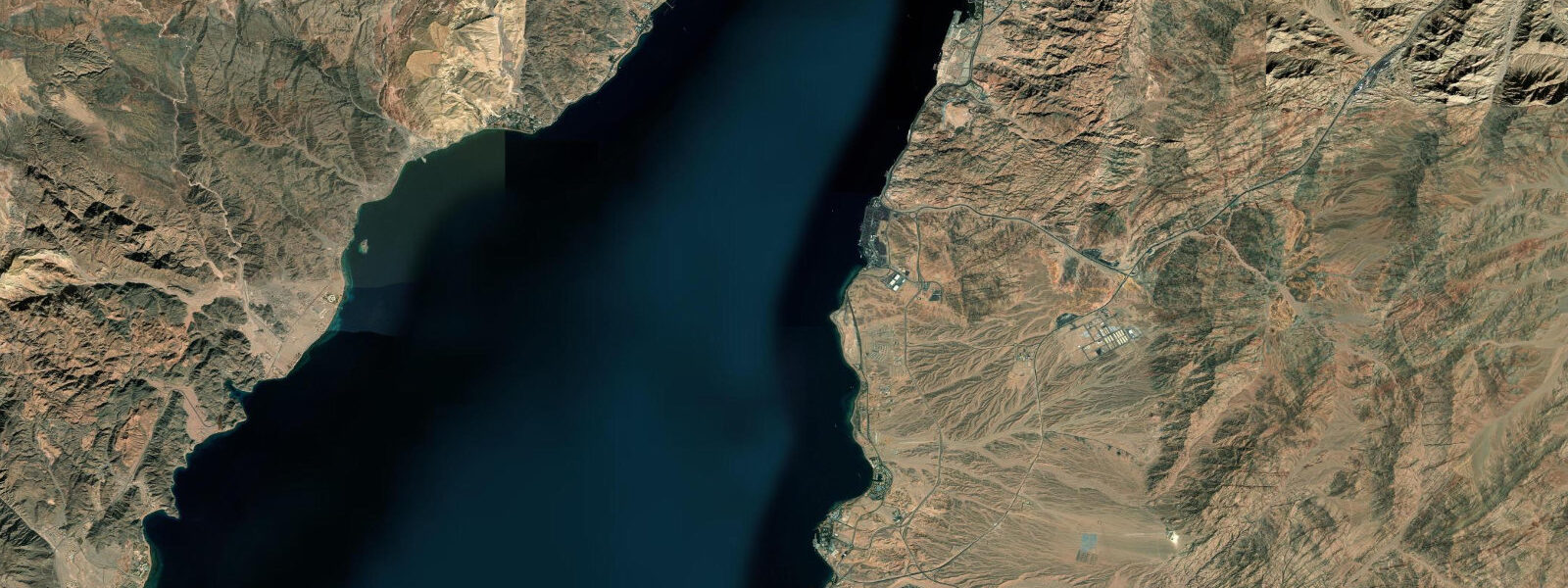
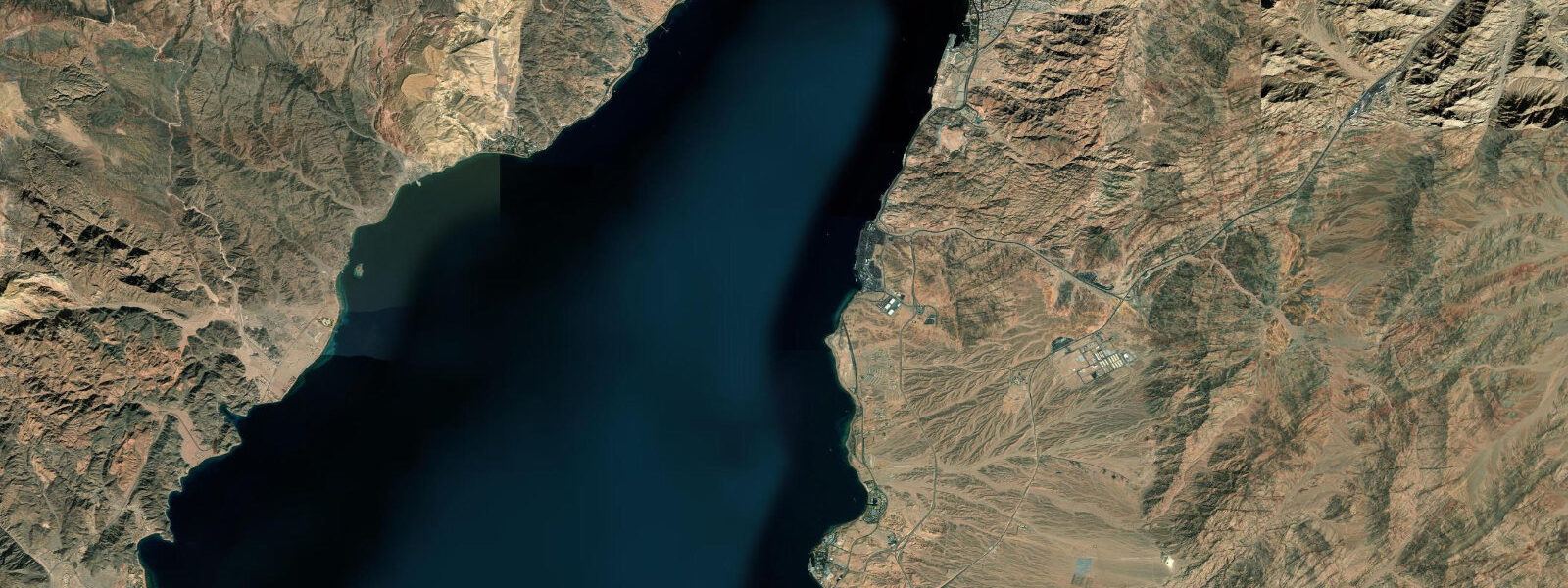
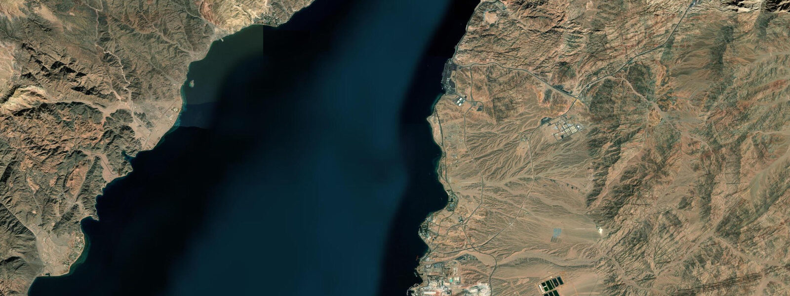
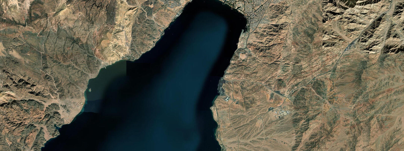
Tala Bay is a purpose-built resort marina development 8 km south of Aqaba city, opened in the mid-2000s as part of the ASEZA investment zone. The marina is the centrepiece of the development: a 500-berth facility with breakwater-enclosed basin, hotel towers on the marina waterfront, and direct beach access onto the Gulf of Aqaba. The approach to Tala Bay from Aqaba city runs through what is now a continuous strip of resort hotels and diving centres; the fringing reef along this section is designated within the Aqaba Marine Park.
The tidal regime is Gulf of Aqaba mixed semidiurnal: spring range 1.0–1.4 m, neap range 0.3–0.5 m. The marina basin at Tala Bay is enclosed by a breakwater and dredged to 3.5–4.5 m; the entrance channel is approximately 4.0 m at mean water level. With a spring range of 1.0–1.4 m, the entrance channel drops to approximately 2.6–3.0 m at spring low water — adequate for most recreational craft. Vessels drawing over 2.5 m should confirm current depth with the marina office and plan arrival 2 hours before high water on spring tides. The shamal wind effect — which lowers the Gulf of Aqaba water level by 0.2–0.4 m below prediction during November–April northerly events — can reduce the already-reduced spring low entrance depth further.
For the resort beach at Tala Bay, the fringing reef immediately offshore is the defining feature. At high spring water, the reef crest has 0.8–1.2 m of clearance and snorkellers can safely traverse the entire reef system including the shallowest sections. At spring low water, the reef crest shallows to 0.2–0.4 m — the same constraint as the Aqaba city resort section. Tala Bay's marina development has added some physical infrastructure on the reef approach that slightly extends the safe-access window compared to natural reef sections north of the marina, but the fundamental tidal constraint is the same.
For dive operations, the Tala Bay area has several well-known sites. The Aquarium (or Fish Farm) site offshore, and the south edge of the Marine Park just north of the Saudi border, are accessible by dive boat from the marina. The 1.0–1.4 m tidal range creates mild current (0.2–0.5 knots) along the reef walls — enough for a gentle drift-dive experience on the reef slope. The best current for drift-diving occurs during the mid-ebb, approximately 3 hours after the morning high water.
For families, the Tala Bay beach is one of the better-managed resort beaches on Jordan's coast. The beach width at high spring water is 15–20 m; at low spring water it extends to 30–40 m over the coral-sand bottom. The reef is 30–50 m from shore. Children swimming inside the reef crest are in a protected lagoon with 0.5–1.5 m depth at mid-tide — safe for supervised swimming. The reef crest itself should be flagged for children: the coral is live and fragile, and low-water access in the 0.2–0.4 m zone risks both the swimmer and the ecosystem.
The Tala Bay marina hosts a small community of long-term liveaboard vessels alongside the resort transients. Provisioning for passage-making — the Jordan–Egypt route is a standard Red Sea yacht itinerary — is available from the marina facilities. The marina has 24-hour security and full marina services including fuel, water, and crew facilities. The wind in the Gulf of Aqaba is predominantly north-to-south (the shamal in winter) and southerly sea-breeze in summer; the marina entrance faces west and is protected from both dominant wind directions by the breakwater arms.
All tide predictions for Tala Bay come from the Open-Meteo Marine gridded model. Timing accuracy is ±45 minutes; height accuracy is ±0.3 m above Chart Datum.
Tide questions about Tala Bay
Quick answers to the most common questions about tide times, range, and water access at Tala Bay.
Is the reef accessible for snorkelling from the Tala Bay beach at any tidal state?
The fringing reef at Tala Bay requires careful tidal timing for the shallowest sections. At spring high water, reef crest clearance is 0.8–1.2 m — suitable for all snorkel experience levels. At spring low water, the same shallowest sections drop to 0.2–0.4 m, where contact with live coral is a serious risk. Snorkel the reef crest only on the upper half of the tidal range; during low water, move to the reef slope (1.5 m+ depth) to avoid the shallow sections. The shamal wind can add a further 0.2–0.4 m reduction during November–April events. Check both the tide prediction and the wind forecast before planning a reef snorkel session.
How does the tidal current at Tala Bay affect diving?
The Gulf of Aqaba 1.0–1.4 m spring range produces gentle tidal currents of 0.2–0.5 knots along the Tala Bay reef walls. The mid-ebb period — approximately 3 hours after high water — produces the most consistent drift current along the reef slope, carrying divers southward at a comfortable pace. This drift is a benefit rather than a hazard for experienced divers; entry is made upcurrent and the drift is used to cover the reef wall. The current is negligible at neap tides. Dive operators at Tala Bay time their guided dive departures to catch the mid-ebb current on the outer reef slope.
Can visiting yachts stay at Tala Bay marina and what are the depth restrictions?
Tala Bay marina is fully open to visiting recreational vessels and is a regular stop on the Red Sea yacht-route itinerary. The marina basin is dredged to 3.5–4.5 m; the entrance channel is approximately 4.0 m at mean water. With the 1.0–1.4 m spring range, entrance channel depth at spring low water is approximately 2.6–3.0 m. Vessels drawing over 2.5 m should confirm current depths with the marina office before entry and plan arrival on the flood. The shamal wind adds a further 0.2–0.4 m potential reduction in November–April. Full marina services — fuel, water, crew facilities, provisioning — are available. Contact the marina on VHF Channel 16.
Is the Tala Bay beach suitable for children?
Tala Bay beach is one of the better-managed family beaches on Jordan's coast. The beach widens from 15–20 m at high spring water to 30–40 m at low spring water. Inside the reef crest, a protected lagoon 0.5–1.5 m deep at mid-tide provides a safer swimming environment for children than the open Gulf. Children should be kept inside the reef crest. The reef crest itself — 30–50 m from shore — is out of bounds for children at low water when the shallowest sections are 0.2–0.4 m deep; coral contact at those depths is a risk for both the child and the ecosystem. Water temperature ranges from 20–22 °C in February to 28–29 °C in August.
What is the best time of day to photograph the Tala Bay marina and reef?
Tala Bay faces west, so morning light falls on the marina basin from the east — golden hour from 06:00 to 08:00 illuminates the boat hulls and the breakwater structure from the marina interior. The underwater reef is best photographed in late morning (09:00–11:00) when the sun is high enough to penetrate 5–10 m with good colour rendering but not yet at the harsh midday angle. High water in the morning combines with good light for reef photography: the extra 0.8–1.0 m of clearance over the reef top allows the sun to light the coral at shallow depth. The breakwater and marina tower skyline from the water — from a kayak or tender — captures the Gulf of Aqaba colour in the early morning foreground.
8-day tide table — Tala Bay
Heights relative to MSL. Predictions: Open-Meteo Marine (MeteoFrance SMOC, 0.08° grid) — heights relative to MSL (not chart datum / LAT). Model-derived.
| Day | Type | Time | Height |
|---|---|---|---|
| Sat 27 Jun | Low | 03:00 | -0.1m |
| High | 04:50 | 0.0m | |
| Low | 11:20 | -0.4m | |
| High | 17:54 | 0.1m | |
| Low | 23:54 | -0.3m | |
| Sun 28 Jun | High | 05:45 | 0.0m |
| Low | 11:55 | -0.3m | |
| Mon 29 Jun | High | 18:54 | 0.1m |
| Tue 30 Jun | Low | 00:54 | -0.3m |
| High | 06:54 | 0.1m | |
| Low | 13:06 | -0.3m | |
| High | 19:12 | 0.1m | |
| Wed 01 Jul | — | ||
| Thu 02 Jul | Low | 02:06 | -0.3m |
| High | 08:00 | 0.1m | |
| Low | 14:15 | -0.3m | |
| Fri 03 Jul | High | 21:04 | 0.2m |
| Sat 04 Jul | Low | 02:00 | -0.2m |