Aqaba South Shore tide times
Aqaba South Shore tide forecast — heights relative to MSL.
Today's tide times for Aqaba South Shore
Tide times at Aqaba South Shore on Saturday, 27 June 2026: first low tide at 03:00am, first high tide at 04:50am, second low tide at 11:20am, second high tide at 05:54pm, third low tide at 11:54pm. Sunrise 05:42am, sunset 07:43pm.
Tide chart for Aqaba South Shore
24-hour cosine-interpolated curve around the present moment. Heights relative to MSL. Predictions: Predictions: Open-Meteo Marine (MeteoFrance SMOC, 0.08° grid).
Sun, moon and conditions on Sat 27 Jun
Snapshot at build time — refreshes daily. Sea state from Open-Meteo Marine.
Highs and lows next 7 days
Every predicted high and low for the next week, with the daily tidal coefficient (0–120; higher = bigger swing, > 95 means stronger currents).
Other spots nearby
The three closest curated TideTurtle locations to Aqaba South Shore, measured by great-circle distance.
Today's solunar windows
Solunar tradition: major periods are the ≈3h windows around moon transit and opposition; minor are ≈2h around moonrise and moonset. Pair with the local tide stage and wind for the best read.
Cycle dates near Aqaba South Shore
Next spring tide on Tue 30 Jun (range 0.5m). Next neap on Sun 28 Jun.
Spring tides cluster around new and full moons (biggest swings). Neap tides land on quarter moons (smallest swings). See the spring tide and neap tide glossary entries for the why.
About tides at Aqaba South Shore
A short guide to the coastline at Aqaba South Shore — geography, sea state, and what the tide is actually doing under your feet.
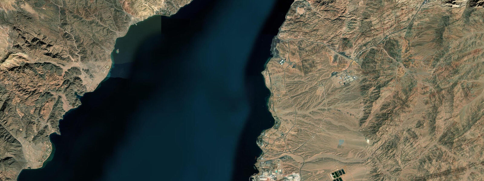
Aqaba South Shore refers to the southernmost section of Jordan's 26-km coastline, from Tala Bay to the Saudi Arabian border — the heart of the Aqaba Marine Park managed by JREDS (Royal Marine Conservation Society of Jordan). This 7-km stretch contains Jordan's highest-quality coral reef systems and the greatest concentration of active dive sites. The Cedar Pride wreck, the Aquarium, First Bay, and the Power Station reef are clustered along this section; access is exclusively by boat or from beach entry points within the Marine Park boundaries.
The tidal regime is Gulf of Aqaba mixed semidiurnal: spring range 1.0–1.4 m. The reef system along this section is fringing, running 30–80 m from shore at 0.5–3.0 m depth on the reef flat and dropping to 15–40 m on the seaward reef slope. The tidal range is directly relevant to safe reef access: the spring range of 1.0–1.4 m translates to significant variation in clearance over the shallowest reef-top sections. At spring high water, clearance on the reef flat is 1.0–1.5 m. At spring low water, the shallowest sections expose to 0.0–0.3 m — actively drying in some areas. This is one of the highest-quality coral reef systems in the northern Red Sea, and the low-water coral exposure is an ecological concern as well as a practical access constraint.
For the Cedar Pride wreck — the most famous dive site in Jordan — the tidal range determines the snorkel access to the shallow superstructure. The wreck was a Lebanese cargo ship 75 m long, deliberately sunk in 25 m of water on its keel but with the mast and superstructure rising to 3–5 m below the surface. At high spring water, a snorkeller directly above the shallowest superstructure section has 4–5 m of water above them. At spring low water, that margin decreases by 1.0–1.4 m. For divers, the wreck is fully accessible at all tidal states; for snorkellers, the shallow superstructure is best visited at high water.
The Marine Park fee and registration system is administered by JREDS at the park entrance. Day-visitor permits cover snorkelling and glass-bottom boat access; diving requires a separate permit and must be conducted with an ASEZA-registered dive centre. PADI training courses are widely available from the Aqaba dive centres and Tala Bay marina operators.
For underwater photographers, the Red Sea visibility of 15–25 m and the Gulf of Aqaba's moderate tidal current (0.2–0.5 knots at mid-ebb) create excellent wide-angle conditions. The Cedar Pride wreck — encrusted with soft corals and surrounded by schooling fish — is photographed from the keel to the mast at 3–5 m. Natural light photography on the wreck is best between 09:00 and 12:00, when the sun penetrates the water column at an angle that illuminates the wreck faces without the overhead flatness of noon. The mid-ebb current at this time aligns with the optimal light window.
Shamal wind effect on water level is the most critical non-model variable for the South Shore. During sustained November–April northerly events, water level drops 0.2–0.4 m below prediction, compounding the spring low water to produce the lowest clearances on the reef flat. Dive centres in Aqaba monitor conditions and may redirect groups to deeper sites when the compound low makes the reef flat unsafe for snorkellers. Check conditions directly with the dive centre before departure.
The sea temperature at the South Shore runs 20–22 °C in February and peaks at 27–29 °C in August, making this a viable year-round diving destination. The Red Sea's high salinity (40–41 ppt compared to 35 ppt for most open ocean) gives slightly higher buoyancy than divers accustomed to Atlantic or Pacific conditions — a minor adjustment for weighting that new-to-Red-Sea divers should address with the dive centre on arrival. The gentle tidal currents (0.2–0.5 knots on spring cycles) along the reef wall create comfortable drift conditions for guided groups and are the mildest tidal environment of any site described in the Gulf of Aqaba region.
All tide predictions for Aqaba South Shore come from the Open-Meteo Marine gridded model. Timing accuracy is ±45 minutes; height accuracy is ±0.3 m above Chart Datum.
Tide questions about Aqaba South Shore
Quick answers to the most common questions about tide times, range, and water access at Aqaba South Shore.
How does the tidal range affect access to the Cedar Pride wreck for snorkellers?
The Cedar Pride's shallowest superstructure sections sit at 3–5 m below the surface. For snorkellers floating at the surface above these sections, high spring water provides 4–5 m of clearance — a comfortable free-dive depth. At spring low water, that clearance reduces by 1.0–1.4 m to 2.5–3.5 m. Combined with a shamal wind-lowering event (0.2–0.4 m additional reduction), the spring low during a shamal brings the shallowest sections to 2.0–3.0 m below the surface — still accessible for capable free-divers but less comfortable for casual snorkellers. For scuba divers, the wreck is fully accessible at all tidal and wind states. Dive from high water for the best shallow-snorkel experience.
What is the Marine Park permit system and what does it cover?
The Aqaba Marine Park is administered by JREDS (Royal Marine Conservation Society of Jordan) and the ASEZA (Aqaba Special Economic Zone Authority). Day visitor permits for snorkelling and glass-bottom boat access are available at the park entrance or through registered operators. Scuba diving within the park requires a dive permit and must be conducted with an ASEZA-registered dive centre. PADI certification courses are available from multiple Aqaba operators and Tala Bay marina. Marine Park fees are used for reef monitoring, mooring buoy maintenance, and park management. The park boundary runs from the Saudi border to the northern park boundary approximately 3 km south of Aqaba city.
When is the Red Sea most clear at Aqaba South Shore?
Visibility in the Gulf of Aqaba at the South Shore is typically 15–25 m year-round — some of the clearest inshore water in the Red Sea system. Visibility is best in winter and spring (December–April), when water temperature and nutrient levels favour clear conditions. Summer (June–September) can see slightly reduced visibility (12–18 m) when thermal stratification and jellyfish medusae increase particulate load in the upper water column. Tidal current of 0.2–0.5 knots on spring ebb and flood does not significantly stir sediment at depth on this rocky reef substrate. Rain events (rare in Aqaba) deliver wadi runoff that briefly reduces nearshore clarity to 5–10 m within 24 hours.
Is the Aqaba South Shore reef accessible for beginner divers?
Yes. The Aqaba South Shore's diversity of sites includes excellent beginner dive locations in 5–12 m depth with minimal current. The reef slope from the Aquarium site to First Bay is rated as appropriate for Open Water certified divers under guide supervision. The tidal current (0.2–0.5 knots at peak spring) is mild by Red Sea standards; during neap tides current is negligible. Dive centres in Aqaba and Tala Bay offer guided dives for newly certified divers at the South Shore sites; the PADI Open Water certification course is completed almost entirely on these sites. The shamal wind can make the boat ride from Aqaba city to the south sites uncomfortable (20–30 minutes into the chop) but does not affect underwater conditions.
What is the best season for underwater photography at Aqaba South Shore?
The optimal underwater photography season is October through April: water temperature 20–26 °C, visibility 18–25 m, reduced jellyfish, and lower boat traffic than the summer peak. The Cedar Pride wreck is best photographed from 09:00 to 12:00 when natural light penetrates the wreck interior from the east-facing hull openings — the mid-morning sun angle lights the soft coral growth on the upward-facing structures. Wide-angle shots of the full wreck require a recirculating strobe or video light to supplement the available natural light below 15 m. The mid-ebb tidal current aligns the schooling fish (especially glassfish in the hull) broadside to the light — the best orientation for schooling-fish wide-angle shots.
8-day tide table — Aqaba South Shore
Heights relative to MSL. Predictions: Open-Meteo Marine (MeteoFrance SMOC, 0.08° grid) — heights relative to MSL (not chart datum / LAT). Model-derived.
| Day | Type | Time | Height |
|---|---|---|---|
| Sat 27 Jun | Low | 03:00 | -0.1m |
| High | 04:50 | 0.0m | |
| Low | 11:20 | -0.4m | |
| High | 17:54 | 0.1m | |
| Low | 23:54 | -0.3m | |
| Sun 28 Jun | High | 05:45 | 0.0m |
| Low | 11:55 | -0.3m | |
| Mon 29 Jun | High | 18:54 | 0.1m |
| Tue 30 Jun | Low | 00:54 | -0.3m |
| High | 06:54 | 0.1m | |
| Low | 13:06 | -0.3m | |
| High | 19:12 | 0.1m | |
| Wed 01 Jul | — | ||
| Thu 02 Jul | Low | 02:06 | -0.3m |
| High | 08:00 | 0.1m | |
| Low | 14:15 | -0.3m | |
| Fri 03 Jul | High | 21:04 | 0.2m |
| Sat 04 Jul | Low | 02:00 | -0.2m |