Aqaba tide times
Aqaba tide forecast — heights relative to MSL.
Today's tide times for Aqaba
Tide times at Aqaba on Saturday, 27 June 2026: first low tide at 03:00am, first high tide at 04:50am, second low tide at 11:20am, second high tide at 05:54pm, third low tide at 11:54pm. Sunrise 05:41am, sunset 07:43pm.
Tide chart for Aqaba
24-hour cosine-interpolated curve around the present moment. Heights relative to MSL. Predictions: Predictions: Open-Meteo Marine (MeteoFrance SMOC, 0.08° grid).
Sun, moon and conditions on Sat 27 Jun
Snapshot at build time — refreshes daily. Sea state from Open-Meteo Marine.
Highs and lows next 7 days
Every predicted high and low for the next week, with the daily tidal coefficient (0–120; higher = bigger swing, > 95 means stronger currents).
Other spots nearby
The three closest curated TideTurtle locations to Aqaba, measured by great-circle distance.
Today's solunar windows
Solunar tradition: major periods are the ≈3h windows around moon transit and opposition; minor are ≈2h around moonrise and moonset. Pair with the local tide stage and wind for the best read.
Cycle dates near Aqaba
Next spring tide on Tue 30 Jun (range 0.5m). Next neap on Sun 28 Jun.
Spring tides cluster around new and full moons (biggest swings). Neap tides land on quarter moons (smallest swings). See the spring tide and neap tide glossary entries for the why.
About tides at Aqaba
A short guide to the coastline at Aqaba — geography, sea state, and what the tide is actually doing under your feet.
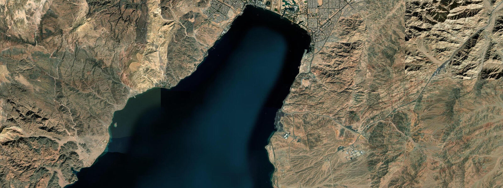
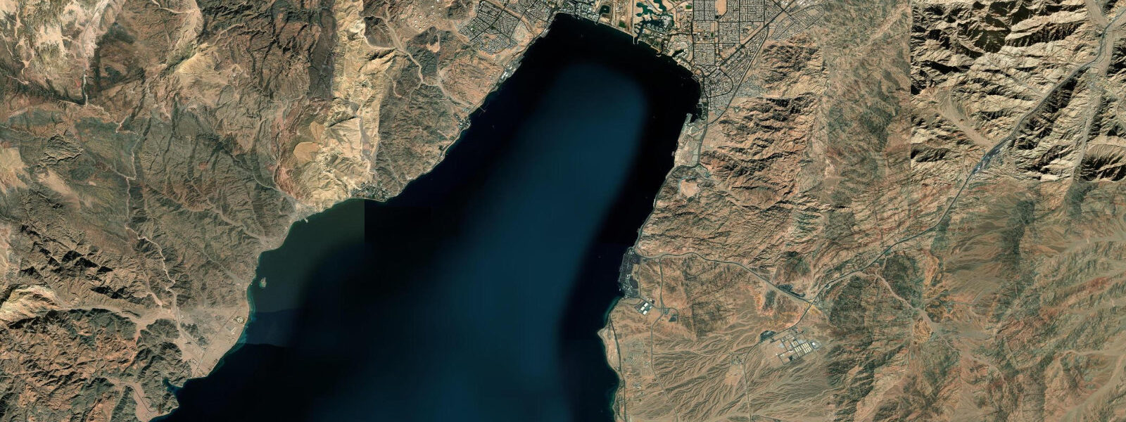
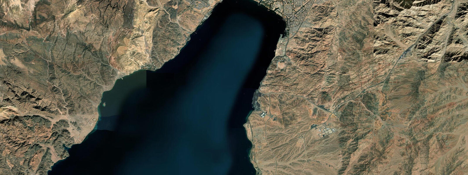
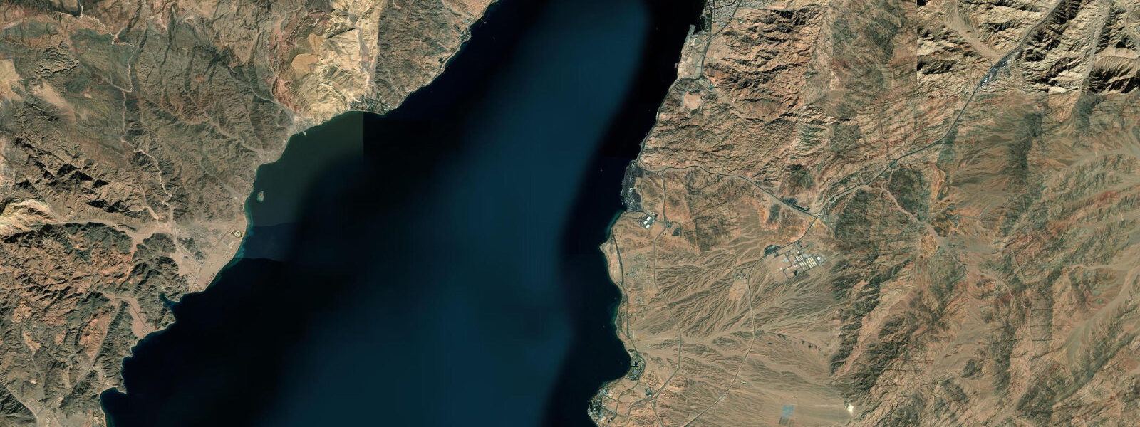
Aqaba is Jordan's only coastal city and its single access point to the sea. The city occupies the northern tip of the Gulf of Aqaba, one of the two arms of the northern Red Sea divided by the Sinai Peninsula. Jordan's entire coastline is 26 km long — from the Israeli border at the north to the Saudi border at the south — and every centimetre of it is managed within the Aqaba Special Economic Zone (ASEZA). The Aqaba city commercial port, the Jordan Phosphate Minerals Company loading terminal, and the 5-star resort beach strip all operate within this narrow coastal strip.
The tidal regime in the Gulf of Aqaba is mixed semidiurnal. Spring range at Aqaba is 1.0–1.4 m; neap range narrows to 0.3–0.5 m. The Gulf is a narrow enclosed body 180 km long and 25 km wide, and its elongated shape creates tidal resonance that amplifies the range above the open Red Sea. Diurnal inequality is moderate. Northerly shamal winds, common from November through April, push water southward in the Gulf and can lower Aqaba water levels 0.2–0.4 m below the astronomical prediction during sustained events.
For the Aqaba resort beach strip — 6 km of hotels and beach clubs from the city centre south to Tala Bay — the tidal range of 1.0–1.4 m is noticeable. The beach gradient is gentle along the resort section; at spring high water the beach narrows to 10–20 m between the resort infrastructure and the waterline. At spring low water the beach widens by 20–30 m and the shallow fringing reef — present from 20–60 m offshore along most of the strip — is more exposed. Snorkelling the reef is best at high water when the shallowest sections have 0.8–1.2 m of clearance above the coral heads; at spring low water, the shallowest sections can drop to 0.2–0.4 m, making coral contact a serious risk for inattentive swimmers.
The Aqaba Marine Park, covering the southernmost 7 km of Jordan's coast from the Saudi border northward, is administered by the Royal Marine Conservation Society of Jordan (JREDS). The park's reef systems — Cedar Pride wreck (a Lebanese freighter deliberately sunk in 1985), First Bay, the Aquarium reef — are the main dive and snorkel sites. The spring tidal range of 1.0–1.4 m affects access: the reef-top fish feeding stations and the shallowest coral sections require high water for comfortable snorkel access. The Cedar Pride wreck sits in 5–25 m; it is accessible to divers at all tidal states but the shallow superstructure (3–5 m) has 1.0+ m of additional clearance at high water.
For commercial shipping at Aqaba port, the main berths are in 12–16 m at mean water. The 1.0–1.4 m spring range is a small fraction of this depth; there are no tidal restrictions for vessels using the main berths. The phosphate loading terminal is in 15–18 m. The Jordan Ayla marina for recreational vessels is in 2.5–4.0 m; vessels drawing over 2.0 m should plan entry on the flood tide.
The northerly shamal wind effect on water level is the most important non-tidal variable at Aqaba for shore activities. During a sustained 3-day shamal, water level drops 0.2–0.4 m below astronomical prediction — compounding with a spring low water to produce the lowest water levels of the year. For reef snorkelling, this combination means reef access over the shallowest sections is reduced to near zero and reef-top coral damage risk is high if swimmers do not adjust their range. Check the regional wind forecast alongside the tide prediction.
All tide predictions for Aqaba come from the Open-Meteo Marine gridded model. Timing accuracy is ±45 minutes; height accuracy is ±0.3 m above Chart Datum.
Tide questions about Aqaba
Quick answers to the most common questions about tide times, range, and water access at Aqaba.
How does the tide affect snorkelling on the Aqaba reef?
The Aqaba fringing reef is present 20–60 m offshore along most of the resort beach strip. At spring high water, the shallowest reef sections have 0.8–1.2 m of clearance — comfortable for snorkellers of all experience levels. At spring low water, those sections drop to 0.2–0.4 m, where accidental contact with coral is a real risk for anyone not swimming horizontally and precisely. Snorkel the shallow reef crest on the upper half of the tide and retreat to deeper reef sections (1.5 m+ depth at mid-tide) during low water. The northerly shamal wind can lower Aqaba's water level an additional 0.2–0.4 m below prediction during November–April, compounding the low-water restriction.
What is the shamal wind and how does it affect Aqaba's water level?
The shamal is a northerly to northwesterly wind that blows through the Gulf of Aqaba from the Jordanian-Israeli inland desert during winter and spring (November–April). In the Gulf of Aqaba's enclosed, elongated geometry, a sustained northerly shamal pushes surface water southward and lowers Aqaba's water level 0.2–0.4 m below the astronomical tide prediction — occasionally more during exceptional events. The compound of a spring low tide and a shamal event produces Aqaba's lowest water levels of the year, when shallow reef sections can be exposed or near-dry. The Open-Meteo tide predictions do not include this wind setup; check Jordan Meteorological Department forecasts for shamal conditions alongside the tide chart.
Where are the best snorkelling and diving sites near Aqaba?
The Cedar Pride wreck, deliberately sunk in 1985, lies in 5–25 m off the South Beach within the Aqaba Marine Park. The shallow superstructure at 3–5 m is accessible to snorkellers at high water (spring high gives 1.0+ m of clearance above the shallowest sections). The Aquarium reef and First Bay sites within the Marine Park are good coral-reef dives in 5–15 m. The Marine Park requires an entry fee managed by JREDS. Outside the park, the resort beach club sections between the city and Tala Bay all have fringing reef fronting them, accessible for snorkelling. Best coral visibility is in the morning before afternoon boat traffic disturbs the surface.
Can recreational vessels use the Aqaba marinas and is depth a concern?
The Jordan Ayla marina in Aqaba is the main recreational vessel facility, with berths in 2.5–4.0 m depth. Vessels drawing over 2.0 m should plan arrival on a rising tide to maintain clearance in the shallower approach sections. The spring range of 1.0–1.4 m combined with a shamal wind-lowering event (0.2–0.4 m additional drop) means the compound low water can reduce marina approach depth to near minimum for larger vessels. Contact the marina office by VHF for current depth and berth assignment. The Aqaba commercial port berths are in 12–16 m and have no depth restriction for vessels using the main fairway.
What is the sea temperature in Aqaba and when is the diving and snorkelling season?
Aqaba's Red Sea Gulf water temperature ranges from 20–22 °C in February (the coldest month, when a 5 mm wetsuit is comfortable) to 27–29 °C in August (3 mm or skin diving comfortable). The year-round diving season is one of Aqaba's major advantages. Visibility in the Gulf of Aqaba is typically 15–25 m in calm conditions — some of the clearest water in the Red Sea system due to the Gulf's restricted water exchange and low turbidity. The tidal range of 1.0–1.4 m creates gentle tidal currents (0.2–0.4 knots) along the reef wall; these are a benefit for drift diving on the reef slope rather than a hazard.
8-day tide table — Aqaba
Heights relative to MSL. Predictions: Open-Meteo Marine (MeteoFrance SMOC, 0.08° grid) — heights relative to MSL (not chart datum / LAT). Model-derived.
| Day | Type | Time | Height |
|---|---|---|---|
| Sat 27 Jun | Low | 03:00 | -0.1m |
| High | 04:50 | 0.0m | |
| Low | 11:20 | -0.4m | |
| High | 17:54 | 0.1m | |
| Low | 23:54 | -0.3m | |
| Sun 28 Jun | High | 05:45 | 0.0m |
| Low | 11:55 | -0.3m | |
| Mon 29 Jun | High | 18:54 | 0.1m |
| Tue 30 Jun | Low | 00:54 | -0.3m |
| High | 06:54 | 0.1m | |
| Low | 13:06 | -0.3m | |
| High | 19:12 | 0.1m | |
| Wed 01 Jul | — | ||
| Thu 02 Jul | Low | 02:06 | -0.3m |
| High | 08:00 | 0.1m | |
| Low | 14:15 | -0.3m | |
| Fri 03 Jul | High | 21:04 | 0.2m |
| Sat 04 Jul | Low | 02:00 | -0.2m |