Ishinomaki tide times
Ishinomaki tide forecast — heights relative to MSL.
Today's tide times for Ishinomaki
Tide times at Ishinomaki on Sunday, 21 June 2026: first high tide at 09:00, first low tide at 13:24, second high tide at 20:15. Sunrise 04:11, sunset 19:01.
Tide chart for Ishinomaki
24-hour cosine-interpolated curve around the present moment. Heights relative to MSL. Predictions: Predictions: Open-Meteo Marine (MeteoFrance SMOC, 0.08° grid).
Sun, moon and conditions on Sun 21 Jun
Snapshot at build time — refreshes daily. Sea state from Open-Meteo Marine.
Highs and lows next 7 days
Every predicted high and low for the next week, with the daily tidal coefficient (0–120; higher = bigger swing, > 95 means stronger currents).
Other spots nearby
The three closest curated TideTurtle locations to Ishinomaki, measured by great-circle distance.
Today's solunar windows
Solunar tradition: major periods are the ≈3h windows around moon transit and opposition; minor are ≈2h around moonrise and moonset. Pair with the local tide stage and wind for the best read.
Cycle dates near Ishinomaki
Next spring tide on Sat 27 Jun (range 1.2m). Next neap on Mon 22 Jun.
Spring tides cluster around new and full moons (biggest swings). Neap tides land on quarter moons (smallest swings). See the spring tide and neap tide glossary entries for the why.
About tides at Ishinomaki
A short guide to the coastline at Ishinomaki — geography, sea state, and what the tide is actually doing under your feet.
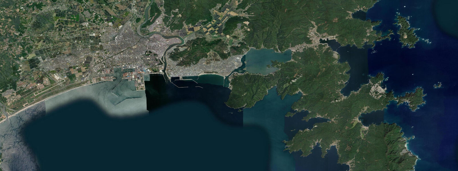
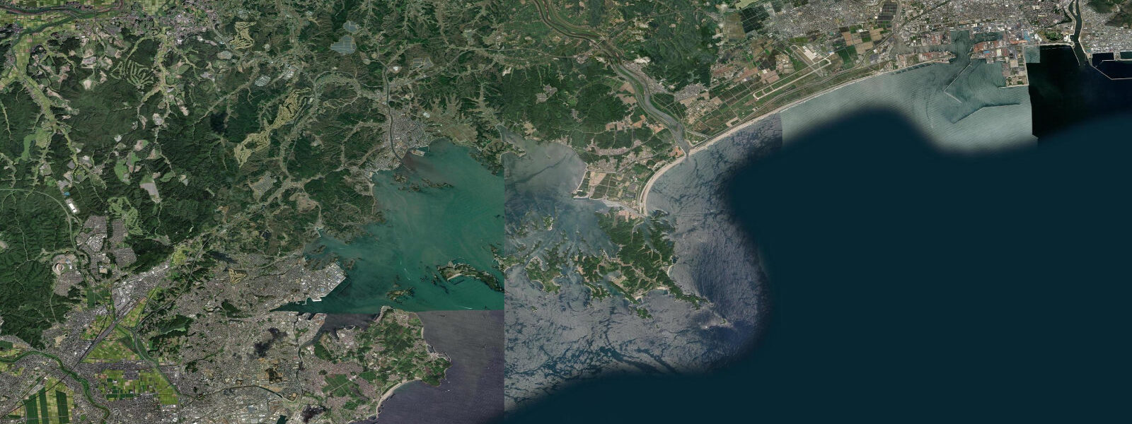
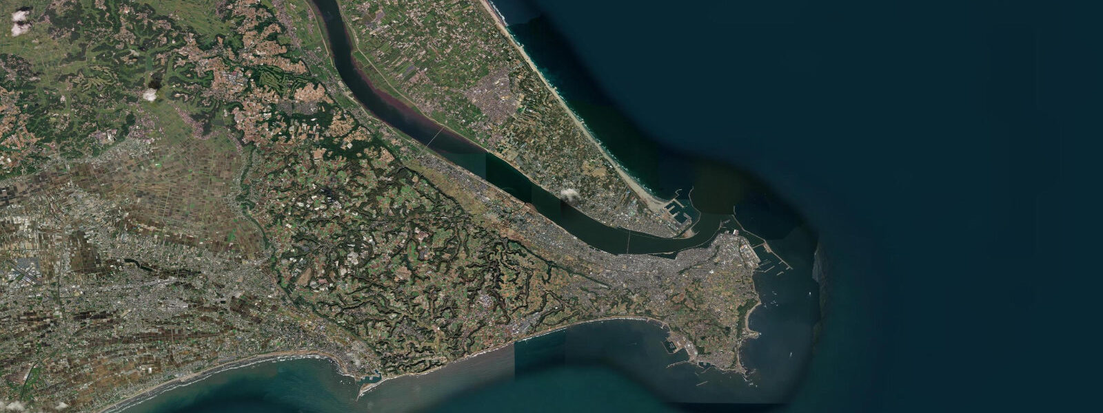
Ishinomaki sits at the mouth of the Kitakami River on Ishinomaki Bay, roughly 50 kilometres northeast of Sendai. The bay is semi-enclosed, opening southeast to the Pacific, with a tidal regime that is semidiurnal and mesotidal — mean range approximately 1.3 metres above MLLW, with spring tide range reaching around 1.5 metres. The river mouth and the shallow bay margins are strongly influenced by tidal cycles: the Kitakami's flow slows and reverses near the mouth through the flood, and the extensive tidal flats along the bay's inner margins expose and cover a significant area each cycle.
The bay's sheltered shallow water and nutrient input from the Kitakami system make it one of the most productive oyster and scallop aquaculture zones in Japan. Flat-bottomed aquaculture boats work the raft systems visible at anchor through most of the year. The Ishinomaki fishing port — one of the largest in Miyagi Prefecture — lands volumes of Pacific saury (sanma), mackerel, and squid alongside the aquaculture harvest. The Ishinomaki Seafood Market at the port (Ishinomaki Kasai Market) operates a morning market most days from around 7 a.m., accessible to the public, where the day's catch comes in from the local fleet.
Ishinomaki has a second and unexpected cultural identity: the city is the home of manga. Shotaro Ishinomori (pen name derived from the city name) — creator of Kamen Rider, Cyborg 009, and more than 700 series — was born in Miyagi Prefecture and established the city as a comics landmark. The Ishinomori Manga Museum (Mangattan Museum) occupies a building styled as a futuristic capsule on an islet at the waterfront, connected to shore by a short bridge. Bronze manga character statues are distributed through the city centre. The museum and the town's manga heritage attract a younger visitor demographic alongside the fisheries and aquaculture interest.
The Kitakami River delta and the outer bay have good shore fishing for flounder (hirame), black sea bream (kurodai), and spotted sea bass (suzuki) particularly around the tidal flat edges at the turn of the tide. The receding tide concentrates fish in the deeper channels alongside the flats; the flood pushes fish up onto the flat edges. Timing casts for an hour either side of low water on spring tides is the local approach.
Oshika Peninsula, 30 kilometres to the east, extends into the open Pacific and gives a harder-edged coastal alternative to the bay — rocky headlands, small fishing villages, and open-water exposure that the enclosed bay lacks.
Tide predictions on this page come from Open-Meteo Marine, a gridded global ocean model. Accuracy is typically within plus or minus 45 minutes on timing and 0.2 to 0.3 metres on height — model-derived, not from a local pressure gauge. For authoritative Japanese tide tables, consult the Japan Meteorological Agency at jma.go.jp. JMA operates Japan's tsunami warning system; see the FAQ below for the critical distinction between tidal prediction and tsunami warning.
Tide questions about Ishinomaki
Quick answers to the most common questions about tide times, range, and water access at Ishinomaki.
What aquaculture does Ishinomaki Bay support?
Ishinomaki Bay is one of the primary oyster and scallop aquaculture areas in Japan. The combination of sheltered water, nutrient input from the Kitakami River, and tidal flushing creates productive growing conditions. Aquaculture rafts are visible across the inner bay through most of the year; the main harvest runs from October through March for oysters, with scallop harvest continuing into spring. The industry was significantly damaged in 2011 and rebuilt; the rebuilt aquaculture sector is now roughly as productive as pre-2011. Local seafood at the port market and the town's restaurants reflects this — oysters and hotate (scallop) are the default order.
What is the Ishinomori Manga Museum?
The Ishinomori Manga Museum (Mangattan Museum) is a manga and pop-culture museum dedicated to Shotaro Ishinomori, who created Kamen Rider, Cyborg 009, Super Sentai (Power Rangers' source material), and over 700 manga series. The building, styled as a futuristic silver capsule, sits on a small islet in the Ishinomaki waterway connected by a short pedestrian bridge. Inside, the museum covers Ishinomori's career and his influence on postwar Japanese pop culture. Bronze character statues are scattered through the town. The museum is a significant draw alongside the fisheries identity of the town.
What should I know about tsunami risk in this area?
This is a critical distinction. The tide predictions on this page show astronomical tides — the regular, predictable rise and fall of sea level driven by the gravitational pull of the moon and sun. These are forecastable days in advance. Tsunamis are entirely different. The 2011 Tōhoku earthquake (magnitude 9.1) generated a tsunami that devastated the Ishinomaki area — approximately 3,500 people died in Ishinomaki city alone, the highest death toll of any single municipality in Japan in that event. Inundation heights reached 8 to 10 metres above MLLW in parts of the city. The city was largely rebuilt in the decade following; some memorial sites and the elevated seawalls built afterward remain visible on the coastal margins. No tide chart predicts tsunamis. Tsunamis are generated by sudden seafloor displacement and travel at jet-aircraft speed across the ocean. The Japan Meteorological Agency (JMA) operates Japan's tsunami warning system — entirely separate from tidal prediction — issuing alerts within approximately 3 minutes of a triggering earthquake. In Ishinomaki and Miyagi Prefecture, follow JMA alerts, local sirens, and the instructions of local authorities. When a strong earthquake is felt near the coast, do not wait for a formal warning before moving to higher ground.
Is the fishing around Ishinomaki good?
Shore and small-boat fishing in Ishinomaki Bay and along the Oshika Peninsula is productive. Flounder (hirame), black sea bream (kurodai), and spotted sea bass (suzuki) are the primary targets from shore. The tidal flat edges in the inner bay fish best around the turn of low water — the falling tide concentrates fish in the channels, and the flood pushes them onto the flat margins. The Oshika Peninsula's rocky coast offers reef-species fishing at the exposed headlands, particularly for rock fish (kasago) and wrasse. The professional fishery landing at Ishinomaki port handles mackerel, saury, and squid; the morning market at the port is worth attending for the scale of the operation.
Are the tide predictions on this page official?
No. Predictions here come from Open-Meteo Marine, a gridded global ocean model that estimates tidal heights and timing from astronomical inputs. Accuracy is typically within plus or minus 45 minutes on timing and 0.2 to 0.3 metres on height relative to observed levels. For safety-critical decisions — navigation, commercial fishing, construction near the water — use the Japan Meteorological Agency's official tide tables at jma.go.jp. JMA publishes verified predictions for reference stations along the Miyagi coast. This page is a planning and reference tool, not a substitute for official data.
8-day tide table — Ishinomaki
Heights relative to MSL. Predictions: Open-Meteo Marine (MeteoFrance SMOC, 0.08° grid) — heights relative to MSL (not chart datum / LAT). Model-derived.
| Day | Type | Time | Height |
|---|---|---|---|
| Sun 21 Jun | High | 09:00 | 0.3m |
| Low | 13:24 | -0.3m | |
| High | 20:15 | 0.5m | |
| Mon 22 Jun | Low | 02:20 | -0.0m |
| High | 07:54 | 0.3m | |
| Low | 14:10 | -0.1m | |
| High | 20:50 | 0.5m | |
| Tue 23 Jun | — | ||
| Wed 24 Jun | Low | 05:00 | -0.3m |
| High | 12:00 | 0.1m | |
| Low | 15:45 | 0.0m | |
| High | 22:18 | 0.5m | |
| Thu 25 Jun | Low | 06:00 | -0.4m |
| High | 23:10 | 0.5m | |
| Fri 26 Jun | Low | 06:52 | -0.5m |
| High | 23:47 | 0.6m | |
| Sat 27 Jun | Low | 07:37 | -0.5m |
| High | 15:10 | 0.5m | |
| Low | 19:40 | 0.2m | |
| Sun 28 Jun | High | 00:45 | 0.6m |
| Low | 08:00 | -0.7m | |