Chōshi tide times
Chōshi tide forecast — heights relative to MSL.
Today's tide times for Chōshi
Tide times at Chōshi on Friday, 19 June 2026: first high tide at 09:00, first low tide at 12:46, second high tide at 19:55. Sunrise 04:20, sunset 18:55.
Tide chart for Chōshi
24-hour cosine-interpolated curve around the present moment. Heights relative to MSL. Predictions: Predictions: Open-Meteo Marine (MeteoFrance SMOC, 0.08° grid).
Sun, moon and conditions on Fri 19 Jun
Snapshot at build time — refreshes daily. Sea state from Open-Meteo Marine.
Highs and lows next 7 days
Every predicted high and low for the next week, with the daily tidal coefficient (0–120; higher = bigger swing, > 95 means stronger currents).
Other spots nearby
The three closest curated TideTurtle locations to Chōshi, measured by great-circle distance.

Today's solunar windows
Solunar tradition: major periods are the ≈3h windows around moon transit and opposition; minor are ≈2h around moonrise and moonset. Pair with the local tide stage and wind for the best read.
Cycle dates near Chōshi
Last spring tide on Fri 19 Jun (range 1.1m). Next neap on Thu 25 Jun.
Spring tides cluster around new and full moons (biggest swings). Neap tides land on quarter moons (smallest swings). See the spring tide and neap tide glossary entries for the why.
About tides at Chōshi
A short guide to the coastline at Chōshi — geography, sea state, and what the tide is actually doing under your feet.
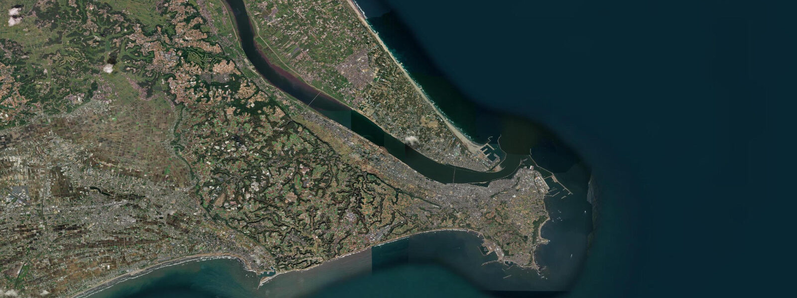
Chōshi sits at the eastern tip of Chiba Prefecture, where the Tone River — Japan's second-longest river — meets the Pacific Ocean at a headland of basalt cliffs. It's one of the major fishing ports in Japan and a significant tide data reference point; the Inubōsaki lighthouse (1874) on the headland is one of the oldest remaining Western-style lighthouses in Japan. Tidal pattern is semidiurnal with a mean spring range of about 1.4 metres. The Kuroshio Current (Japan Current) passes offshore and influences both sea temperature and the local fisheries.
The fishing industry at Chōshi processes enormous volumes of Pacific saury (sanma), mackerel (saba), and sardine (iwashi). The Chōshi fishing harbour is one of the top five landing ports in Japan by volume. Fresh fish from the Chōshi fleet reaches Tsukiji/Toyosu Market in Tokyo within hours of landing. The Uoichiha fish market building and the morning fish auction are accessible to visitors on guided tours — arriving before 5 a.m. to see the auction in full swing is a rare behind-the-scenes experience.
Inubōsaki Cape on the headland north of the harbour has the most dramatic coastal geology near Chōshi — columnar basalt formations, wave-cut platforms, and the lighthouse. At low water, the basalt platforms are accessible by foot for around 30 minutes either side of low tide; rockfish (mebaru), wrasse, and rock bream can be caught from the platform edges. The lighthouse is open for climbing; the view north along the Pacific coast extends to the Kashima coastline on clear days.
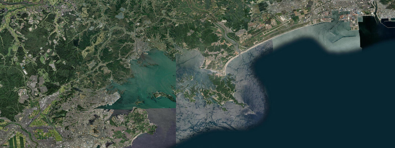
Surfers use the beaches south of Chōshi along the Kujūkuri Beach system — a 66-kilometre stretch of exposed Pacific coast that catches Pacific groundswell consistently. The northern section (Chōshi to Iiji) has several reef and beach break sections; the quality varies by sand position and swell direction. Northeast swell from North Pacific storms (October through March) produces the best organised waves along the Kujūkuri stretch.
Chōshi is accessible from Tokyo by train (Chōshi Line from Chiba, about 2.5 hours), making it a feasible day trip for fish market visits or a full weekend for fishing and surfing.
Predictions on this page come from Open-Meteo Marine, a gridded global ocean model. Accuracy is typically within plus or minus 45 minutes on timing and 0.2 to 0.3 metres on height — model-derived, not from a local gauge. For authoritative Japanese tide data, consult the Japan Meteorological Agency at jma.go.jp.
Tide questions about Chōshi
Quick answers to the most common questions about tide times, range, and water access at Chōshi.
What fish is landed at Chōshi?
Chōshi is one of Japan's top fishing ports by volume. The main species are Pacific saury (sanma, September through November season), mackerel (saba, year-round), sardine (iwashi), and bonito (katsuo, spring through autumn). The fleet is large — over 1,000 registered vessels — and the fish market at the harbour processes volumes that go directly to Toyosu Market in Tokyo. Fresh chōshi sanma and mackerel sushi is available at local restaurants near the harbour at a fraction of Tokyo prices.
Can I visit the fish market at Chōshi?
The Uoichiha fish market at Chōshi harbour runs a visitor experience programme where the morning auction and processing can be observed. Auctions typically begin around 4 to 5 a.m.; contact the Chōshi Tourism Association for current tour availability and booking requirements. The fish market is a working commercial facility — access is supervised and times are strict. A morning market visit, followed by a breakfast of fresh fish at the harbour-side food stalls, is the definitive Chōshi experience.
What is Inubōsaki lighthouse?
Inubōsaki Lighthouse, completed in 1874 by the British engineer Richard Henry Brunton, is one of the oldest remaining Western-style lighthouses in Japan and a nationally registered cultural property. The lighthouse stands on basalt cliffs at the cape; the light is still operational. Visitors can climb to the top; entry fee applies. The surrounding basalt platforms are accessible at low water and are a good spot for shore fishing and tide pool observation. The cape marks the meeting of the Kashima Nada (Pacific) and Tokyo Bay entrance currents.
Is there surf near Chōshi?
The Kujūkuri coast south of Chōshi is one of the longest beach break surf zones in Japan — 66 km of exposed Pacific coast catching northeast groundswell from North Pacific storms. The northern section near Chōshi has beach break peaks working from October through March on northeast to east swells. The Kujūkuri coast is a long drive from Tokyo but is less crowded than the Chiba Peninsula surf zones closer to the city. Water temperature drops to 12 to 14°C in winter — a 5/4mm wetsuit is needed.
What is the tidal range at Chōshi?
Mean spring range at Chōshi is approximately 1.4 metres. The Inubōsaki cape is a reference tide station for the Kanto coast; JHOD (Japan Hydrographic and Oceanographic Department) publishes detailed tide predictions for Chōshi used as reference for the entire region. The basalt platforms at Inubōsaki expose for 30 to 60 minutes around spring low water, providing the best access for shore fishing and rock pool viewing.
7-day tide table — Chōshi
Heights relative to MSL. Predictions: Open-Meteo Marine (MeteoFrance SMOC, 0.08° grid) — heights relative to MSL (not chart datum / LAT). Model-derived.
| Day | Type | Time | Height |
|---|---|---|---|
| Fri 19 Jun | High | 09:00 | -0.0m |
| Low | 12:46 | -0.7m | |
| High | 19:55 | 0.4m | |
| Sat 20 Jun | Low | 00:50 | 0.0m |
| High | 06:12 | 0.5m | |
| Low | 13:19 | -0.5m | |
| Sun 21 Jun | High | 07:18 | 0.4m |
| Low | 13:56 | -0.2m | |
| High | 21:04 | 0.6m | |
| Mon 22 Jun | Low | 14:42 | -0.1m |
| Tue 23 Jun | High | 22:10 | 0.4m |
| Wed 24 Jun | Low | 05:42 | -0.3m |
| High | 22:50 | 0.4m | |
| Thu 25 Jun | Low | 06:40 | -0.4m |
| High | 14:15 | 0.2m | |
| Low | 17:50 | 0.1m | |
| High | 23:50 | 0.4m |