Matsushima tide times
Matsushima tide forecast — heights relative to MSL.
Today's tide times for Matsushima
Tide times at Matsushima on Sunday, 21 June 2026: first high tide at 20:15. Sunrise 04:12, sunset 19:02.
Tide chart for Matsushima
24-hour cosine-interpolated curve around the present moment. Heights relative to MSL. Predictions: Predictions: Open-Meteo Marine (MeteoFrance SMOC, 0.08° grid).
Sun, moon and conditions on Sun 21 Jun
Snapshot at build time — refreshes daily. Sea state from Open-Meteo Marine.
Highs and lows next 7 days
Every predicted high and low for the next week, with the daily tidal coefficient (0–120; higher = bigger swing, > 95 means stronger currents).
Other spots nearby
The three closest curated TideTurtle locations to Matsushima, measured by great-circle distance.
Today's solunar windows
Solunar tradition: major periods are the ≈3h windows around moon transit and opposition; minor are ≈2h around moonrise and moonset. Pair with the local tide stage and wind for the best read.
Cycle dates near Matsushima
Next spring tide on Sat 27 Jun (range 1.2m). Last neap on Sun 21 Jun.
Spring tides cluster around new and full moons (biggest swings). Neap tides land on quarter moons (smallest swings). See the spring tide and neap tide glossary entries for the why.
About tides at Matsushima
A short guide to the coastline at Matsushima — geography, sea state, and what the tide is actually doing under your feet.
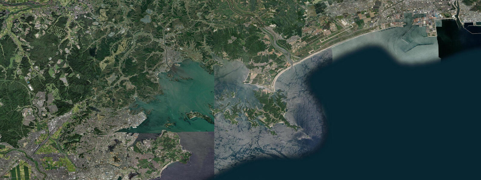
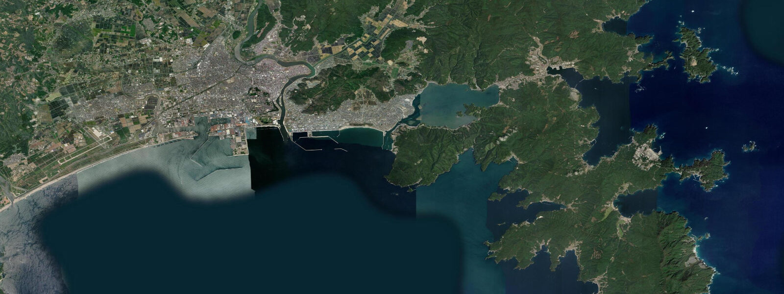
Matsushima Bay sits 20 kilometres northeast of Sendai, where the Miyagi coast breaks into 260 pine-covered islands of volcanic rock rising from relatively shallow water. The bay has been considered one of the canonical 'three views of Japan' (Nihon Sankei) since the Edo period — a designation shared with Amanohashidate in Kyoto Prefecture and Miyajima in Hiroshima. The tidal regime is semidiurnal and mesotidal with a mean range of approximately 1.3 metres above MLLW. That range is sufficient to alter the scene considerably: at high water, the smallest islands in the bay reduce to isolated rock crowns barely above the surface, while at low water the inter-island channels and the shelving sand between islands become wading shallows and the full vertical rock faces are exposed.
Five viewing pavilions around the bay approach the scene from different angles. Saigantō-ji temple (founded 828, rebuilt 1609) sits directly on the waterfront at the town centre, its grounds running to the seawall. Godaidō Hall (1604, national cultural property) occupies a tiny islet 50 metres from shore, connected by two arched wooden bridges — accessible at all tidal states but dramatically framed by the surrounding islands and water. The Zuiganji temple complex (1609, national treasure) sits 200 metres inland, its cedar-lined approach and cave cells carved into the hillside preceding the main hall.
The bay's sheltered water and nutrient-rich conditions support oyster aquaculture: rows of rope-suspended oyster cages mark sections of the bay through winter, typically harvested between October and March. The oysters grown here are sold as Matsushima-gaki; the waterfront has a cluster of small restaurants and stalls specialising in them, typically grilled over charcoal and served with lemon.
Kayaking through the island channels is the most direct way to read the tide's effect on the bay. At high water, paddling is unobstructed across the flat surface; at low water, sandbars and rock shelves create navigation around, and the closer-in islands reveal their geology. Several local operators run guided kayak tours that time the route to catch low water in the narrower inner channels.
Fishing from the bay's rocky points targets flounder (hirame) and black sea bream (kurodai) in the shallower sections at higher tidal states; shore casters work the exposed rock platforms at low water for smaller reef species. The bay is not a surf destination — the island geometry breaks up swell before it reaches shore.
Tide predictions on this page come from Open-Meteo Marine, a gridded global ocean model. Accuracy is typically within plus or minus 45 minutes on timing and 0.2 to 0.3 metres on height — model-derived, not from a local pressure gauge. For authoritative Japanese tide tables, consult the Japan Meteorological Agency at jma.go.jp. The JMA also operates Japan's tsunami warning system; see the FAQ below for an important distinction between tidal prediction and tsunami warning.
Tide questions about Matsushima
Quick answers to the most common questions about tide times, range, and water access at Matsushima.
What is the tidal range at Matsushima Bay?
Mean tidal range at Matsushima is approximately 1.3 metres above MLLW. The bay's semidiurnal pattern produces two highs and two lows each day, with timing shifting roughly 50 minutes later each day. At high water, the smallest islands shrink to rock outcrops barely clearing the surface; at low water, the inter-island shallows and sand channels open and the lower half of each island's rock face is exposed. Spring tides (within 2 days of new or full moon) can push high water up to roughly 0.3 metres above the mean high water level. Knowing the tide state before visiting the bay is worth the 30 seconds it takes — the scene at low water and high water are genuinely different experiences.
When can I eat Matsushima oysters?
Matsushima-gaki (Matsushima oysters) are in season from October through March. The aquaculture ropes are visible in the bay from late summer onward; harvesting happens through the cooler months when the water temperature keeps the oysters in peak condition. The waterfront town has multiple restaurants and stalls — grilled (yakigaki) over charcoal with a squeeze of lemon is the local standard. Outside the October–March window, oysters may still be available but the season stock is gone. The annual Matsushima Oyster Festival runs in late February at the waterfront, with grilled oysters sold by the kilo direct from local producers.
What should I know about tsunami risk in this area?
This is an important distinction. The tide predictions on this page show astronomical tides — the regular, predictable rise and fall of sea level driven by the gravitational pull of the moon and sun. These are forecastable days and months in advance. Tsunamis are entirely different. They are generated by sudden seafloor displacement — earthquakes, submarine landslides, or volcanic events — and have no relationship to the tidal cycle. They cannot be predicted by any tide chart. The 2011 Tōhoku earthquake (magnitude 9.1, epicentre approximately 70 km east of the Oshika Peninsula) generated a tsunami that reached heights of 10 to 40 metres above MLLW along the Sanriku coast north of Matsushima. Nearly 20,000 people died. Matsushima Bay's island geography provided some attenuation, but the event reshaped the entire regional coastline. The Japan Meteorological Agency (JMA) operates Japan's tsunami warning system — entirely separate from tidal prediction. JMA issues tsunami advisories within approximately 3 minutes of a significant earthquake. In Miyagi Prefecture, follow JMA alerts, local sirens, and the instructions of local authorities. When an earthquake is felt strongly near the coast, do not wait for a formal warning before moving to higher ground.
What is Godaidō Hall?
Godaidō is a small wooden hall (1604) built on a tiny islet 50 metres from the Matsushima waterfront, connected to shore by two arched wooden bridges. It is one of the oldest wooden structures in the Tohoku region and a national cultural property. The hall houses five Buddhist images that are displayed only once every 33 years — the next display is due in 2039. At all times the exterior is accessible; the building's position on the islet, framed by the surrounding islands, makes it the most-photographed element of Matsushima. It is accessible at any state of tide via the bridges.
Are the tide predictions on this page official?
No. Predictions here come from Open-Meteo Marine, a gridded global ocean model that estimates tide heights and timing from astronomical inputs. Accuracy is typically within plus or minus 45 minutes on timing and 0.2 to 0.3 metres on height relative to observed levels. For safety-critical decisions — navigation, commercial fishing, construction near the water — use the Japan Meteorological Agency's official tide tables at jma.go.jp. The JMA operates the authoritative tide gauge network and publishes verified predictions for reference stations along the Tohoku coast. This page is a planning and reference tool, not a substitute for official data.
8-day tide table — Matsushima
Heights relative to MSL. Predictions: Open-Meteo Marine (MeteoFrance SMOC, 0.08° grid) — heights relative to MSL (not chart datum / LAT). Model-derived.
| Day | Type | Time | Height |
|---|---|---|---|
| Sun 21 Jun | High | 20:15 | 0.5m |
| Mon 22 Jun | Low | 02:21 | -0.0m |
| High | 08:00 | 0.3m | |
| Low | 14:12 | -0.1m | |
| High | 20:42 | 0.5m | |
| Tue 23 Jun | Low | 03:50 | -0.2m |
| High | 09:42 | 0.2m | |
| Wed 24 Jun | Low | 05:04 | -0.3m |
| High | 11:50 | 0.1m | |
| Low | 15:54 | 0.1m | |
| High | 22:20 | 0.5m | |
| Thu 25 Jun | Low | 06:00 | -0.4m |
| High | 13:45 | 0.2m | |
| Low | 17:06 | 0.1m | |
| High | 23:10 | 0.5m | |
| Fri 26 Jun | Low | 06:52 | -0.5m |
| High | 14:42 | 0.4m | |
| Low | 18:15 | 0.3m | |
| High | 23:47 | 0.6m | |
| Sat 27 Jun | Low | 07:37 | -0.5m |
| High | 15:10 | 0.5m | |
| Low | 19:38 | 0.2m | |
| Sun 28 Jun | High | 00:45 | 0.6m |
| Low | 08:00 | -0.7m |