Tokyo Bay (Harumi) tide times
Tokyo Bay (Harumi) tide forecast — heights relative to MSL.
Today's tide times for Tokyo Bay (Harumi)
Tide times at Tokyo Bay (Harumi) on Sunday, 26 July 2026: first low tide at 09:00, first high tide at 16:08, second low tide at 20:54. Sunrise 04:44, sunset 18:51.
Tide chart for Tokyo Bay (Harumi)
24-hour cosine-interpolated curve around the present moment. Heights relative to MSL. Predictions: Predictions: Open-Meteo Marine (MeteoFrance SMOC, 0.08° grid).
Sun, moon and conditions on Sun 26 Jul
Snapshot at build time — refreshes daily. Sea state from Open-Meteo Marine.
Highs and lows next 7 days
Every predicted high and low for the next week, with the daily tidal coefficient (0–120; higher = bigger swing, > 95 means stronger currents).
Other spots nearby
The three closest curated TideTurtle locations to Tokyo Bay (Harumi), measured by great-circle distance.

Today's solunar windows
Solunar tradition: major periods are the ≈3h windows around moon transit and opposition; minor are ≈2h around moonrise and moonset. Pair with the local tide stage and wind for the best read.
Cycle dates near Tokyo Bay (Harumi)
Next spring tide on Fri 31 Jul (range 1.6m). Next neap on Wed 29 Jul.
Spring tides cluster around new and full moons (biggest swings). Neap tides land on quarter moons (smallest swings). See the spring tide and neap tide glossary entries for the why.
About tides at Tokyo Bay (Harumi)
A short guide to the coastline at Tokyo Bay (Harumi) — geography, sea state, and what the tide is actually doing under your feet.
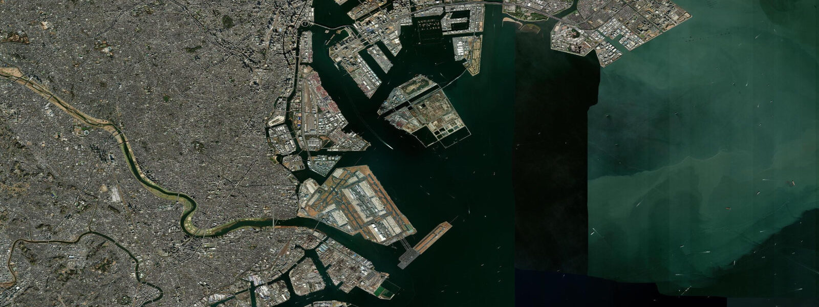
Tokyo Bay opens south through the narrow Uraga Channel between Yokosuka and the Bōsō Peninsula, a 7-kilometre throat where the open Pacific reaches in to fill a partially-enclosed basin ringed by Tokyo, Yokohama, Kawasaki, and Chiba. The tide signature here is a moderate mixed-semidiurnal signal — two highs and two lows of unequal size each day, the bigger swing falling on the lower-low water — with the pattern shifting toward strongly diurnal at certain points in the lunar month. 6 on neaps.
That is modest compared with the Pacific Northwest US or the European North Sea, but the bay's geometry concentrates currents through the Uraga Channel to over two knots on the change of tide, which the working pilots on the deep-water container approaches at Yokohama and the Tokyo-Bay ferry skippers reading for Kanazawa-Hakkei and Kisarazu both notice. The wholesale fish market at Toyosu (which moved from Tsukiji in 2018) timed its working hours around the Edomae inshore fishing fleet for centuries, and the rhythm survives in the tsukudani salt-cooked seafood that originated on the bay shore. Sailors out of Yokosuka and the Miura Peninsula reading for the open Sagami Bay, surfers at Kujūkuri on the Bōsō outer coast, and shellfish harvesters at the few remaining tidal flats around Funabashi each read the table for different windows.
Open-Meteo Marine drives the gridded predictions on this page; for authoritative Japanese tide data, the Japan Meteorological Agency and the Japan Coast Guard Hydrographic and Oceanographic Department publish the official tide tables and operate the Harumi reference gauge.
Tide questions about Tokyo Bay (Harumi)
Quick answers to the most common questions about tide times, range, and water access at Tokyo Bay (Harumi).
When is the next high tide at Tokyo Bay?
The hero block shows the next high tide at the Harumi gauge in central Tokyo Bay in local Japan Standard Time (UTC+9, no DST). The 7-day table covers all the highs and lows. High water at Yokohama on the western shore lags Harumi by a few minutes; at the bay mouth in the Uraga Channel it leads by about half an hour.
What's the typical tide range at Tokyo Bay?
Mean range at the Harumi gauge is about 1.3 metres, climbing past 2 metres on the largest spring tides and dropping near 0.6 metres on neaps. The pattern is mixed semidiurnal — two highs and two lows of unequal size most days, with the biggest swing falling on the lower-low water — and shifts toward strongly diurnal at certain points in the lunar month.
Where do these tide predictions come from?
Open-Meteo Marine, a gridded global ocean model. Useful for daily planning around the bay, the Uraga Channel, and the Bōsō outer coast. For authoritative Japanese tide data, the Japan Meteorological Agency and the Japan Coast Guard Hydrographic and Oceanographic Department publish the official tide tables and operate the reference gauge network.
Why are currents in the Uraga Channel stronger than the height swing suggests?
The Uraga Channel is the narrow 7-kilometre throat connecting the bay to the open Pacific, between Yokosuka and the Bōsō Peninsula. Tidal currents through that throat exceed two knots on the change of tide because the entire bay's water exchanges through that single bottleneck. The container pilots running the deep-water approaches at Yokohama and the JMS naval traffic out of Yokosuka all time their transits to slack water on the rising flood.
Is this safe to use for navigation?
No. For piloting in or out of Tokyo Bay, transiting the Uraga Channel, or working the Bōsō outer coast use the Japan Coast Guard's authoritative tide tables, the JMA marine forecasts, and the Tokyo Bay Vessel Traffic Service guidance. Typhoon-season surge from late summer and autumn cyclones can lift levels well above predicted, and tsunami advisories override everything.
8-day tide table — Tokyo Bay (Harumi)
Heights relative to MSL. Predictions: Open-Meteo Marine (MeteoFrance SMOC, 0.08° grid) — heights relative to MSL (not chart datum / LAT). Model-derived.
| Day | Type | Time | Height |
|---|---|---|---|
| Sun 26 Jul | Low | 09:00 | -0.4m |
| High | 16:08 | 0.8m | |
| Low | 20:54 | 0.4m | |
| Mon 27 Jul | High | 02:12 | 0.7m |
| Low | 09:16 | -0.5m | |
| High | 16:36 | 0.8m | |
| Low | 21:40 | 0.3m | |
| Tue 28 Jul | High | 02:57 | 0.8m |
| Low | 09:58 | -0.6m | |
| High | 17:06 | 0.9m | |
| Low | 22:16 | 0.3m | |
| Wed 29 Jul | High | 03:39 | 0.8m |
| Low | 22:48 | 0.3m | |
| Thu 30 Jul | High | 04:12 | 1.0m |
| Low | 11:04 | -0.6m | |
| High | 17:56 | 1.0m | |
| Low | 23:20 | 0.2m | |
| Fri 31 Jul | High | 04:50 | 1.0m |
| Low | 11:36 | -0.6m | |
| High | 18:18 | 1.0m | |
| Low | 23:56 | 0.1m | |
| Sat 01 Aug | High | 05:25 | 1.0m |
| Low | 12:10 | -0.5m | |
| High | 18:39 | 1.0m | |
| Sun 02 Aug | Low | 00:37 | 0.0m |
| High | 05:55 | 0.9m | |
| Low | 08:00 | 0.6m |