Katsuura tide times
Katsuura tide forecast — heights relative to MSL.
Today's tide times for Katsuura
Tide times at Katsuura on Friday, 19 June 2026: first high tide at 09:00, first low tide at 14:21, second high tide at 21:25. Sunrise 04:45, sunset 19:08.
Tide chart for Katsuura
24-hour cosine-interpolated curve around the present moment. Heights relative to MSL. Predictions: Predictions: Open-Meteo Marine (MeteoFrance SMOC, 0.08° grid).
Sun, moon and conditions on Fri 19 Jun
Snapshot at build time — refreshes daily. Sea state from Open-Meteo Marine.
Highs and lows next 7 days
Every predicted high and low for the next week, with the daily tidal coefficient (0–120; higher = bigger swing, > 95 means stronger currents).
Other spots nearby
The three closest curated TideTurtle locations to Katsuura, measured by great-circle distance.
Today's solunar windows
Solunar tradition: major periods are the ≈3h windows around moon transit and opposition; minor are ≈2h around moonrise and moonset. Pair with the local tide stage and wind for the best read.
Cycle dates near Katsuura
Last spring tide on Fri 19 Jun (range 1.4m). Next spring tide on Thu 25 Jun (range 1.0m). Next neap on Mon 22 Jun.
Spring tides cluster around new and full moons (biggest swings). Neap tides land on quarter moons (smallest swings). See the spring tide and neap tide glossary entries for the why.
About tides at Katsuura
A short guide to the coastline at Katsuura — geography, sea state, and what the tide is actually doing under your feet.
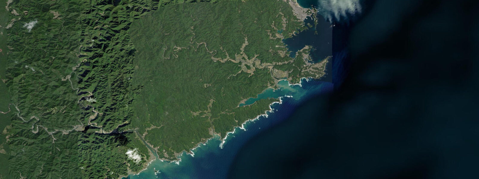
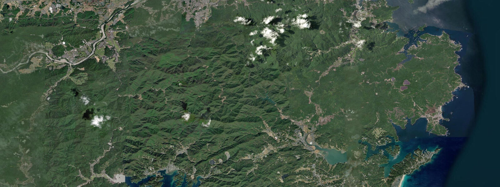
Katsuura is on the Kumano coast of the Kii Peninsula (Wakayama Prefecture), where the Kii Mountains meet the Pacific Ocean in a landscape of deep inlets, rocky headlands, and some of the most dramatic coastal scenery in the Kansai region. This is not the Katsuura in Chiba (also called Katsuura) — this is Nachikatsuura, the town adjacent to Nachi Falls, Nachi Grand Shrine, and the Kumano Kodo pilgrimage routes. Tidal range is semidiurnal with a mean spring range of about 1.8 metres.
The coastline around Katsuura is an indented ria coast — numerous deep, narrow inlets carved by rivers descending from the Kii Mountains. The Katsuura Bay itself is sheltered by the Kirigashima (Fog Island) and several smaller islands. Clear water enters the bays from the Kuroshio Current offshore; underwater visibility can reach 20 metres in the open sea sections on the ria coast.
Bluefin tuna (maguro) from the Katsuura area are among the most celebrated in Japan. The Katsuura tuna auction at dawn is one of the few outside Tokyo that visitors can observe. The tuna are landed from boats working the Pacific south of the peninsula, where the Kuroshio Current concentrates the fish. Fresh tuna over rice at the harbour-side restaurants rivals Tokyo's best at a fraction of the price.
The Kumano Kodo is a network of ancient pilgrimage routes connecting three Grand Shrines (Kumano Hongu Taisha, Kumano Hayatama Taisha in Shingu, and Kumano Nachi Taisha above Katsuura). The Nakahechi route, the main coastal pilgrim path, passes through this area and was designated UNESCO World Heritage in 2004. Nachi Falls, behind Katsuura, is Japan's highest waterfall at 133 metres — visible from the sea on a clear day.
Sea kayaking along the Kumano ria coast is exceptional — the rocky inlets, small sandy coves (unavailable by road), and warm Kuroshio-influenced water make for a distinctly south Japanese coastal experience. The water is warm enough for comfortable snorkelling from May through October (22 to 28°C). Dive operators in Katsuura run boat trips to the offshore reefs.
Predictions on this page come from Open-Meteo Marine, a gridded global ocean model. Accuracy is typically within plus or minus 45 minutes on timing and 0.2 to 0.3 metres on height — model-derived, not from a local gauge. For authoritative Japanese tide data, consult the Japan Meteorological Agency at jma.go.jp.
Tide questions about Katsuura
Quick answers to the most common questions about tide times, range, and water access at Katsuura.
What is Nachikatsuura famous for?
Nachikatsuura (also written Nachi-Katsuura) is known for three things: the Kumano Kodo pilgrimage routes and Kumano Nachi Taisha shrine, Nachi Falls (Japan's highest waterfall at 133 metres), and the bluefin tuna auction at the fishing harbour. The combination of sacred mountain landscape, Pacific coastal scenery, and exceptional tuna makes it one of the more distinctive coastal towns in Kansai-adjacent Japan.
Can I observe the tuna auction at Katsuura?
Katsuura has one of Japan's best-known tuna auctions, with visitor access available through the local tourism office. Auctions begin around 4 to 5 a.m. at the Katsuura fishing port; the pre-dawn unloading and auctioning of Pacific bluefin tuna is a visceral experience of Japan's fishing industry at scale. Book through the Nachikatsuura Tourism Association. Fresh tuna over rice at the harbour-side market stalls is available from 7 a.m. onwards.
What is the Kumano Kodo?
The Kumano Kodo is a network of ancient pilgrimage trails in the Kii Mountains connecting three Kumano Grand Shrines — Kumano Hongu Taisha, Kumano Hayatama Taisha (Shingu), and Kumano Nachi Taisha (above Katsuura). The trails have been walked by pilgrims since the 10th century; they were designated UNESCO World Heritage in 2004. The Nakahechi route (the Imperial Route) from Kii-Tanabe to Kumano Nachi Taisha takes 4 to 5 days; sections can be walked independently. Katsuura is the natural end point and coastal accommodation base.
Is snorkelling good near Katsuura?
The Kuroshio Current brings warm, clear water to the Kumano coast from late spring through autumn. Water temperature is 22 to 28°C from June through October; visibility reaches 15 to 20 metres in settled conditions. The rocky headlands and small islands around Katsuura Bay have good reef fish populations including subtropical species carried up by the Kuroshio. Snorkelling is best from mid-June through September. Local dive operators can advise on the best access points.
What is the tidal range at Katsuura?
Mean spring tidal range at Katsuura (Wakayama) is approximately 1.8 metres — larger than the Kansai Bay areas due to the direct Pacific exposure. The ria coast means the tidal water level changes are concentrated in the narrow inlets, creating visible tidal current in the channel entrances. Low water exposes the lower rocky reef sections around the bay islands for rock pooling and fishing.
8-day tide table — Katsuura
Heights relative to MSL. Predictions: Open-Meteo Marine (MeteoFrance SMOC, 0.08° grid) — heights relative to MSL (not chart datum / LAT). Model-derived.
| Day | Type | Time | Height |
|---|---|---|---|
| Fri 19 Jun | High | 09:00 | 0.6m |
| Low | 14:21 | -0.7m | |
| High | 21:25 | 0.7m | |
| Sat 20 Jun | Low | 15:08 | -0.5m |
| High | 22:06 | 0.7m | |
| Sun 21 Jun | Low | 15:56 | -0.2m |
| High | 22:42 | 0.7m | |
| Mon 22 Jun | Low | 05:12 | -0.0m |
| High | 10:38 | 0.4m | |
| Low | 16:47 | -0.1m | |
| High | 23:23 | 0.6m | |
| Tue 23 Jun | Low | 06:20 | -0.2m |
| High | 12:20 | 0.4m | |
| Low | 17:50 | -0.0m | |
| Wed 24 Jun | High | 00:12 | 0.6m |
| Low | 07:21 | -0.3m | |
| High | 14:06 | 0.4m | |
| Low | 19:00 | 0.1m | |
| Thu 25 Jun | High | 01:00 | 0.6m |
| Low | 08:10 | -0.3m | |
| High | 15:12 | 0.5m | |
| Low | 20:10 | 0.2m | |
| Fri 26 Jun | High | 01:50 | 0.7m |
| Low | 08:00 | -0.3m |