Ise tide times
Ise tide forecast — heights relative to MSL.
Today's tide times for Ise
Tide times at Ise on Saturday, 27 June 2026: first low tide at 09:55, first high tide at 16:39, second low tide at 22:15. Sunrise 04:42, sunset 19:09.
Tide chart for Ise
24-hour cosine-interpolated curve around the present moment. Heights relative to MSL. Predictions: Predictions: Open-Meteo Marine (MeteoFrance SMOC, 0.08° grid).
Sun, moon and conditions on Sat 27 Jun
Snapshot at build time — refreshes daily. Sea state from Open-Meteo Marine.
Highs and lows next 7 days
Every predicted high and low for the next week, with the daily tidal coefficient (0–120; higher = bigger swing, > 95 means stronger currents).
Other spots nearby
The three closest curated TideTurtle locations to Ise, measured by great-circle distance.
Today's solunar windows
Solunar tradition: major periods are the ≈3h windows around moon transit and opposition; minor are ≈2h around moonrise and moonset. Pair with the local tide stage and wind for the best read.
Cycle dates near Ise
Next spring tide on Wed 01 Jul (range 1.7m). Last neap on Sat 27 Jun. Next neap on Fri 03 Jul.
Spring tides cluster around new and full moons (biggest swings). Neap tides land on quarter moons (smallest swings). See the spring tide and neap tide glossary entries for the why.
About tides at Ise
A short guide to the coastline at Ise — geography, sea state, and what the tide is actually doing under your feet.
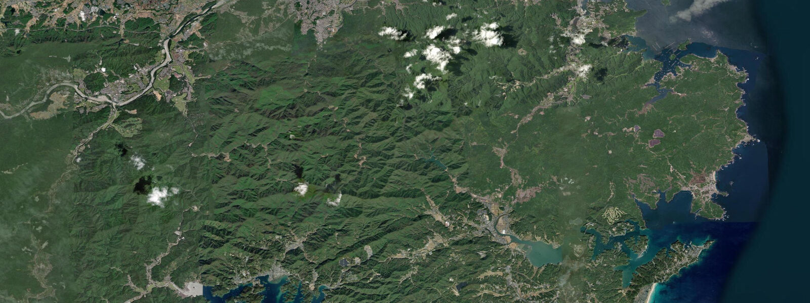
Ise is a small city of 120,000 on the western shore of Ise Bay in Mie Prefecture, famous primarily for the Jingū — the Grand Shrine complex comprising the outer Geku (Toyouke Daijingū) and inner Naikū (Kōtai Jingū) shrines, the holiest site in Shinto and the ritual centre of the imperial family. The Naikū shrine sits above the Isuzu River 5 km southeast of the city centre, in a forest of ancient Japanese cypress. The coastal zone at Ise is defined by the intersection of the sacred and the tidal: the ama divers who have worked these waters for over two millennia are linked directly to the shrine culture that made Ise famous.
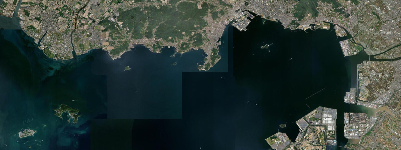
The tidal regime at Ise is semidiurnal with a spring range of approximately 2.0 m above Chart Datum. Mean high water springs is around 1.5 m; mean low water springs around 0.5 m. Neap range narrows to 0.8–1.0 m. Ise Bay is a semi-enclosed embayment roughly 60 km north-south and 35 km east-west; the tidal wave enters through the bay mouth between the Atsumi Peninsula and Cape Daio. The bay head — where Ise and Tsu sit — sees slightly amplified tidal range due to the resonance geometry of the enclosed water body.
The ama (海女) tradition at Ise-Shima is the most historically significant human interaction with the tidal zone in this region. Ama are breath-hold divers, almost exclusively women, who harvest abalone (awabi), turban shells (sazae), and sea urchin (uni) from the rocky subtidal and intertidal zones. Active ama communities still operate at Toba (20 km south of Ise) and at several points on the Shima Peninsula. Diving operations are strongly tidal: the most productive sessions are on the lower half of the ebb and the flood, when current is manageable and the rocky intertidal offers the best access to abalone habitat.
For visitors to the Naikū shrine, the Isuzu River running through the shrine precincts is tidal up to approximately 1.5 km from the bay. At spring high water, the river level rises 1.8–2.0 m above its low-water mark. The river has been the ritual purification site for shrine visitors for centuries; the water is clear and fast-running even at spring tide due to the current from upstream.
Sea fishing from Ise Bay targets sea bream (madai) on the reef structures around the bay-mouth islands, flounder and mullet on the inner bay flats, and spiny lobster (ise-ebi) in the rocky subtidal of the Shima Peninsula. The ise-ebi is the premium product of this coast and is regulated with season and gear restrictions.
For boat operators transiting Ise Bay, the bay-mouth passage between the Atsumi Peninsula and Cape Daio carries 1.5–2.5 knots of current on springs. Passages across the bay to Toba or Nagoya are straightforward in moderate weather but the bay can become rough in strong southerly wind, when swell refracts around the Shima Peninsula and creates confused seas.
All tide predictions for Ise come from the Open-Meteo Marine gridded model. Timing accuracy is ±45 minutes; height accuracy is ±0.3 m above Chart Datum.
Tide questions about Ise
Quick answers to the most common questions about tide times, range, and water access at Ise.
What is the tidal range at Ise and how does it affect the Isuzu River at the shrine?
Ise has a semidiurnal spring tidal range of approximately 2.0 m above Chart Datum. The Isuzu River running through the Naikū shrine precincts is tidal for approximately 1.5 km upstream; at spring high water the river level rises 1.8–2.0 m above its low-water mark, visible as tidal staining on the lower stone courses of the embankment walls. The river runs clear and fast even at spring tide due to upland flow; ritual purification washing at the river is possible at all tidal stages. Tide predictions carry ±45 minutes timing uncertainty and ±0.3 m height uncertainty.
Can visitors watch ama divers near Ise?
Active ama communities operate at Toba (20 km south), at Goza, and at several Shima Peninsula villages. Toba Sea-Folk Museum offers ama cultural exhibits; the Hachiman Kamado ama huts near Toba run demonstrations for visitors. Actual harvest dives happen on a controlled schedule — confirm with the Toba tourism board for visitor access dates. The most active diving period is May through September; the relevant tidal condition is the lower half of the ebb and the flood, when current is manageable for breath-hold diving.
What fishing opportunities exist from Ise Bay?
Sea bream (madai) are the primary sport-fishing target on the reef structures around the bay-mouth islands and Shima Peninsula coast. Charter boats depart from Toba and from the Ise Bay marina; the best sea bream fishing windows are 60–90 minutes either side of the tidal current peak on reef-top structures. Flounder and mullet are taken on the inner bay flats on the flooding tide. Spiny lobster (ise-ebi) harvest is regulated — recreational taking requires a permit and is restricted to approved zones and seasons.
Is Ise Bay safe for sailing and motorboat cruising?
Ise Bay is a well-charted cruising ground with marinas at Toba, Nagoya, and several bay-shore points. The inner bay is protected from Pacific swell. The bay-mouth passage between the Atsumi Peninsula and Cape Daio carries 1.5–2.5 knots of tidal current on springs — time bay-mouth transits at slack water in small auxiliary-powered vessels. The bay can become rough in strong southerly wind when swell refracts around the Shima Peninsula. Commercial vessel lanes in the upper bay near Nagoya should be given adequate clearance.
Where are the best family tidal-flat areas near Ise?
The sheltered inner beaches and flats of the Shima Peninsula — south and east of Ise city — offer the best family tidal-flat access. The 2.0 m spring range exposes wide sand and rock flats at low water; wading, shellfish gathering with a permit, and rock-pool exploration are the primary activities. The beaches at Ago Bay in the southern Shima Peninsula are particularly sheltered — the bay's many inner inlets are calm at all tidal stages and spring low-water flats extend 80–120 m from the high-water mark. Check that the area is not a designated fishery reserve before gathering anything.
8-day tide table — Ise
Heights relative to MSL. Predictions: Open-Meteo Marine (MeteoFrance SMOC, 0.08° grid) — heights relative to MSL (not chart datum / LAT). Model-derived.
| Day | Type | Time | Height |
|---|---|---|---|
| Sat 27 Jun | Low | 09:55 | -0.5m |
| High | 16:39 | 0.9m | |
| Low | 22:15 | 0.2m | |
| Sun 28 Jun | High | 03:39 | 0.7m |
| Low | 10:33 | -0.7m | |
| High | 17:25 | 0.8m | |
| Low | 23:02 | 0.1m | |
| Mon 29 Jun | High | 04:08 | 0.8m |
| Low | 11:11 | -0.8m | |
| High | 18:00 | 0.8m | |
| Low | 23:35 | 0.1m | |
| Tue 30 Jun | High | 04:47 | 0.8m |
| Low | 11:46 | -0.8m | |
| Wed 01 Jul | High | 05:21 | 0.8m |
| Low | 12:17 | -0.8m | |
| High | 19:08 | 0.9m | |
| Thu 02 Jul | Low | 00:39 | 0.1m |
| High | 05:51 | 0.9m | |
| Low | 12:52 | -0.7m | |
| High | 19:38 | 0.9m | |
| Fri 03 Jul | Low | 13:23 | -0.7m |
| High | 20:12 | 0.9m | |
| Sat 04 Jul | Low | 01:47 | 0.1m |
| High | 07:06 | 0.8m |