Osaka tide times
Osaka tide forecast — heights relative to MSL.
Today's tide times for Osaka
Tide times at Osaka on Friday, 31 July 2026: first high tide at 09:00, first low tide at 12:18. Sunrise 05:06, sunset 19:02.
Tide chart for Osaka
24-hour cosine-interpolated curve around the present moment. Heights relative to MSL. Predictions: Predictions: Open-Meteo Marine (MeteoFrance SMOC, 0.08° grid).
Sun, moon and conditions on Fri 31 Jul
Snapshot at build time — refreshes daily. Sea state from Open-Meteo Marine.
Highs and lows next 7 days
Every predicted high and low for the next week, with the daily tidal coefficient (0–120; higher = bigger swing, > 95 means stronger currents).
Other spots nearby
The three closest curated TideTurtle locations to Osaka, measured by great-circle distance.
Today's solunar windows
Solunar tradition: major periods are the ≈3h windows around moon transit and opposition; minor are ≈2h around moonrise and moonset. Pair with the local tide stage and wind for the best read.
Cycle dates near Osaka
Last spring tide on Fri 31 Jul (range 1.9m). Next neap on Wed 05 Aug.
Spring tides cluster around new and full moons (biggest swings). Neap tides land on quarter moons (smallest swings). See the spring tide and neap tide glossary entries for the why.
About tides at Osaka
A short guide to the coastline at Osaka — geography, sea state, and what the tide is actually doing under your feet.
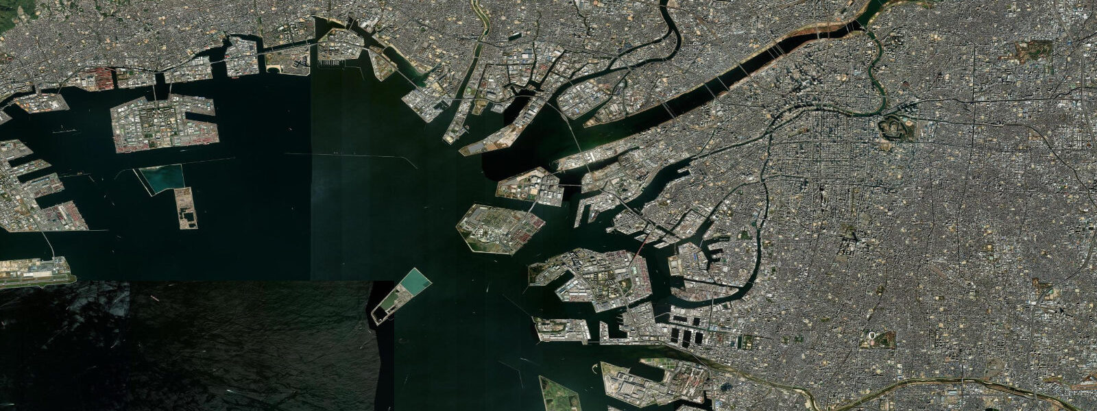
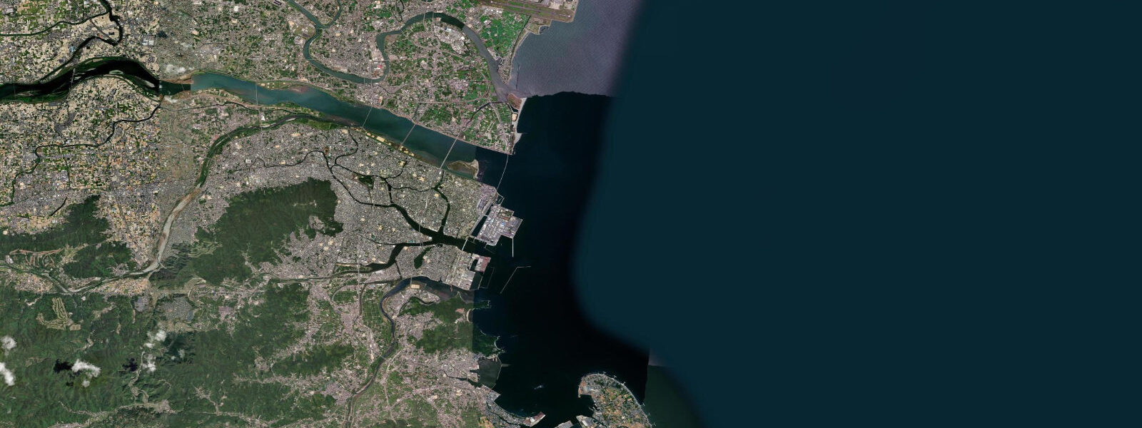
Osaka sits at the head of Osaka Bay, the northeastern arm of the Seto Inland Sea, where the Yodo River empties into a shallow coastal plain that the city has been building on and out into for centuries. The bay opens southwest between the tip of the Kii Peninsula and the northern end of Awaji Island, beyond which the Akashi Strait connects it to the wider Seto Inland Sea system. That geometry — an enclosed embayment connected to an enclosed sea — gives Osaka its tidal character: mixed semidiurnal, with two unequal highs and two unequal lows per day, and a mean astronomical range in outer Osaka Bay of roughly 1.5 to 2.0 m.
The diurnal inequality is one of the defining features of the tide here. Through most of the lunar month, the two daily highs differ noticeably in height: one dominant high and one secondary high, with a corresponding pair of lows of different magnitude. This is the mixed character of a coast sitting between purely diurnal Pacific forcing and the semidiurnal Atlantic norm, and it means reading the tide chart matters — the 'high' at 6 am and the 'high' at 6 pm may differ by half a metre or more depending on lunar phase.
Practical consequences are spread across the coast. The Nanko district in southern Osaka is the most immediately tide-relevant: Sakishima houses the Osaka Aquarium Kaiyukan on an artificial island linked to the mainland, and the waterfront at Nanko Kita is a departure point for ferry services to Kyushu and the Seto islands. Kayakers working the Nanko canals and the sheltered water behind the breakwaters at Osakako find the tidal current manageable but real — the bay has enough range to move water through its channels at a paddle-relevant pace. The Akashi Kaikyo Bridge crossing, 90 minutes by rail west of Osaka station, spans the Akashi Strait where tidal streams routinely exceed 4 knots on spring tides; the underwater currents are studied by fishers and vessels transiting between the bay and the Hiroshima direction.
The Osaka waterfront is primarily an urban and commercial coast. Osaka Bay handles container traffic through the Kobe-Osaka port complex, one of the busiest in Japan. The shoreline from Sakishima south through the artificial islands of the Universal Studios area and west toward Kobe's Port Island is heavily engineered — reclaimed land, breakwater-enclosed harbours, and the former Expo '70 site at Senri, inland but historically part of the bay's industrial hinterland. Shore fishing happens from the breakwaters at Osakako and the rocky points at Kobe and Suma to the west, where black seabream and horse mackerel hold in the tidal currents around structure.
The inner Osaka waterfront, from Namba south to the bay via the Namba Parks and the Nanko ferry terminals, is a leisure coast that most visitors to Osaka don't connect to the tides at all. The Dotombori canal, running through the city centre, is a few kilometres inland of the bay and sits at effectively fixed river level, disconnected from direct tidal influence by weirs and sluices. The visible tidal action is on the outer coast: the Sakishima quays at Kaiyukan, the Tempozan harbour, and the ferry berths at Nanko.
Weather is the other variable. Osaka Bay is exposed to typhoon approach from the southwest and south; the 1934 Muroto typhoon produced storm surge inside the bay that killed more than 2,000 people, and the current storm-surge flood-wall and gate system protecting the Osaka lowlands — parts of which lie below sea level — reflects that history. The Japan Meteorological Agency issues surge advisories for Osaka Bay, and the forecast matters more than the predicted tide during typhoon season.
Predictions on this page come from Open-Meteo Marine, a gridded global ocean model calibrated across a grid cell rather than at the Osaka gauge directly. Accuracy is typically within plus or minus 45 minutes on timing and 0.2 to 0.3 m on height — model-derived, not a local gauge. The Japan Coast Guard and Japan Meteorological Agency maintain the authoritative Osaka tide record; for navigation, commercial ferry scheduling, and storm-surge critical decisions, those official sources apply.
Tide questions about Osaka
Quick answers to the most common questions about tide times, range, and water access at Osaka.
What is the tidal range in Osaka Bay?
Mean astronomical range in outer Osaka Bay runs roughly 1.5 to 2.0 m, classed as mesotidal. The tide is mixed semidiurnal: two unequal highs and two unequal lows each day, driven by the Seto Inland Sea's tidal dynamics. The diurnal inequality is real — the two daily highs often differ by 0.5 m or more depending on lunar phase. Spring tides around new and full moons push toward or slightly above the upper end of that range; neap tides two weeks later are noticeably smaller. These are predicted astronomical figures; storm surge from typhoon approach can add a metre or more above the predicted level and is the larger planning risk on this coast.
Can I kayak in the Nanko area and Osaka waterfront?
The sheltered water behind the breakwaters at Osakako and in the Nanko canal network is used by sea kayakers and stand-up paddleboarders. The tidal current is present but manageable — the 1.5 to 2.0 m range moves water through the channels, and paddlers working Nanko Kita and the Sakishima quays plan their outbound leg into the flood and their return on the ebb, or vice versa. The open bay beyond the breakwaters carries commercial ferry and port traffic; paddlers should stay in the inshore zone and well clear of the shipping lanes. Launching points at Osakako pier and the Tempozan harbour area are accessible by public transit.
Where do these tide predictions come from?
Open-Meteo Marine, a free gridded global ocean model. The model estimates tidal height across a geographic grid rather than computing from harmonic analysis of the Osaka gauge record directly. Accuracy is typically within plus or minus 45 minutes on timing and 0.2 to 0.3 m on height — model-derived, not a local gauge. The Japan Coast Guard and Japan Meteorological Agency maintain the authoritative Osaka and Osaka Bay tide data. For any activity where the tide state is safety-critical — navigation through the Akashi Strait, ferry scheduling — use the official JMA predictions.
How do Osaka Bay tides compare to those at Incheon or European coasts?
Osaka Bay's 1.5 to 2.0 m mean range is moderate — well above the microtidal Mediterranean (less than 0.5 m) but considerably less than Incheon on the Korean Yellow Sea coast (8 to 9 m spring range) or the Bristol Channel in southwest England (around 10 m). Within Japan, it is comparable to Hiroshima Bay in the Seto Inland Sea and somewhat less than Hakata Bay in northern Kyushu, which reaches 2.0 to 2.5 m. The moderate range reflects the Seto Inland Sea's partial enclosure and the mixed resonance of Pacific tidal forcing filtered through narrow connecting straits.
Is storm surge a risk in Osaka?
Yes, and it is taken seriously. Parts of Osaka's waterfront lowlands and the older residential areas of Namba and Tennoji sit at or below sea level, protected by tide gates and surge barriers built in response to the 1934 Muroto typhoon and the 1961 Second Muroto typhoon — both of which drove storm surge through the bay. The current flood-gate and seawall system significantly raises protection, but a slow-moving category-3 or stronger typhoon approaching from the southwest remains the scenario that the Osaka prefectural flood authorities plan for. Surge events are forecast by the Japan Meteorological Agency; predicted astronomical tides from this page are not a substitute for JMA storm surge advisories.
8-day tide table — Osaka
Heights relative to MSL. Predictions: Open-Meteo Marine (MeteoFrance SMOC, 0.08° grid) — heights relative to MSL (not chart datum / LAT). Model-derived.
| Day | Type | Time | Height |
|---|---|---|---|
| Fri 31 Jul | High | 09:00 | 0.1m |
| Low | 12:18 | -0.6m | |
| Sat 01 Aug | High | 05:55 | 1.3m |
| Low | 12:50 | -0.5m | |
| High | 18:43 | 1.2m | |
| Sun 02 Aug | Low | 01:08 | 0.0m |
| High | 06:39 | 1.2m | |
| Low | 13:23 | -0.4m | |
| High | 19:20 | 1.2m | |
| Mon 03 Aug | Low | 13:54 | -0.3m |
| High | 20:01 | 1.3m | |
| Tue 04 Aug | Low | 14:15 | -0.0m |
| High | 20:45 | 1.3m | |
| Wed 05 Aug | Low | 03:16 | -0.1m |
| High | 09:14 | 1.0m | |
| Thu 06 Aug | Low | 04:18 | -0.0m |
| High | 10:13 | 1.0m | |
| Low | 13:27 | 0.4m | |
| High | 22:13 | 1.3m | |
| Fri 07 Aug | Low | 05:45 | -0.1m |