Tokushima tide times
Tokushima tide forecast — heights relative to MSL.
Today's tide times for Tokushima
Tide times at Tokushima on Saturday, 27 June 2026: first low tide at 09:00. Sunrise 04:52, sunset 19:17.
Tide chart for Tokushima
24-hour cosine-interpolated curve around the present moment. Heights relative to MSL. Predictions: Predictions: Open-Meteo Marine (MeteoFrance SMOC, 0.08° grid).
Sun, moon and conditions on Sat 27 Jun
Snapshot at build time — refreshes daily. Sea state from Open-Meteo Marine.
Highs and lows next 7 days
Every predicted high and low for the next week, with the daily tidal coefficient (0–120; higher = bigger swing, > 95 means stronger currents).
Other spots nearby
The three closest curated TideTurtle locations to Tokushima, measured by great-circle distance.
Today's solunar windows
Solunar tradition: major periods are the ≈3h windows around moon transit and opposition; minor are ≈2h around moonrise and moonset. Pair with the local tide stage and wind for the best read.
Cycle dates near Tokushima
Next spring tide on Wed 01 Jul (range 2.0m). Last neap on Sat 27 Jun. Next neap on Fri 03 Jul.
Spring tides cluster around new and full moons (biggest swings). Neap tides land on quarter moons (smallest swings). See the spring tide and neap tide glossary entries for the why.
About tides at Tokushima
A short guide to the coastline at Tokushima — geography, sea state, and what the tide is actually doing under your feet.
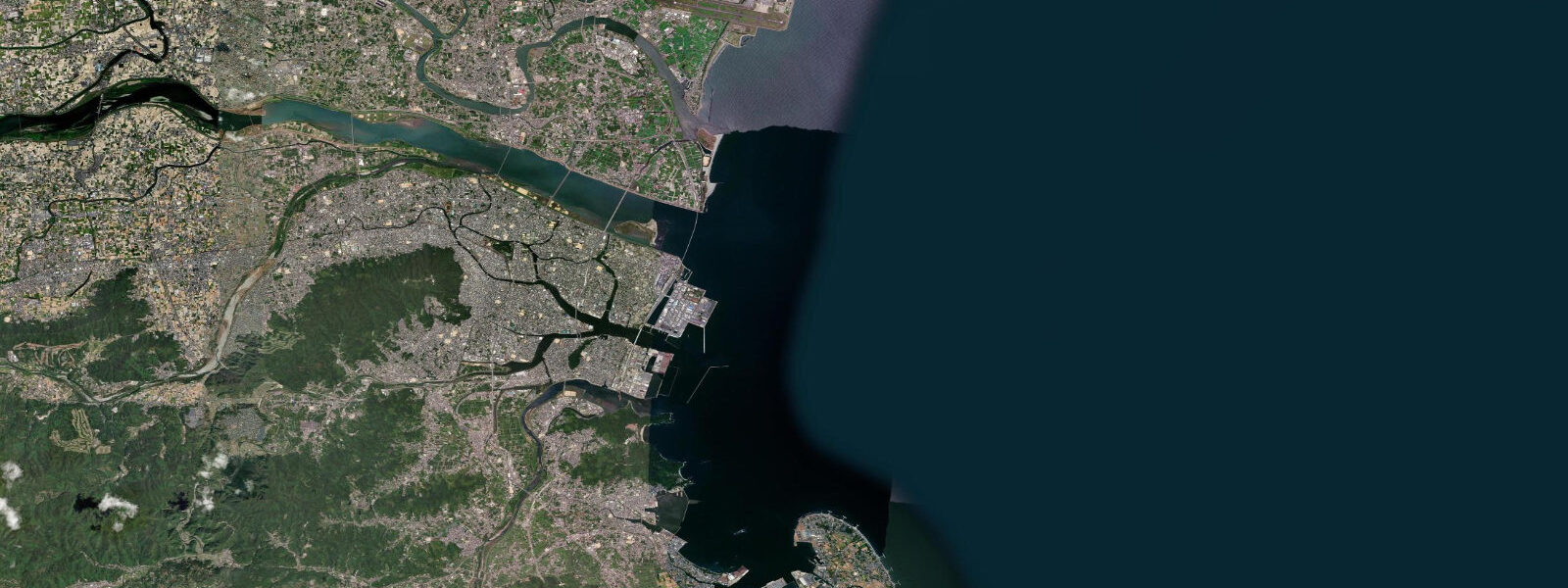
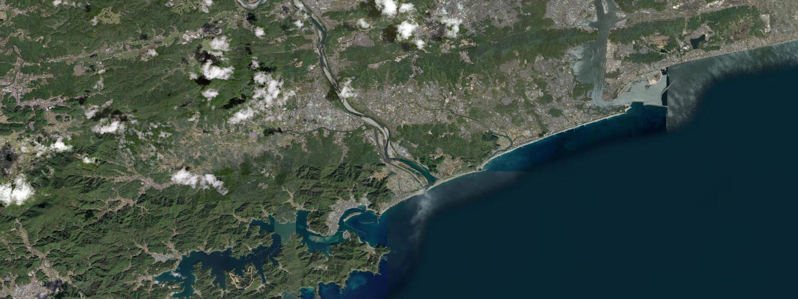
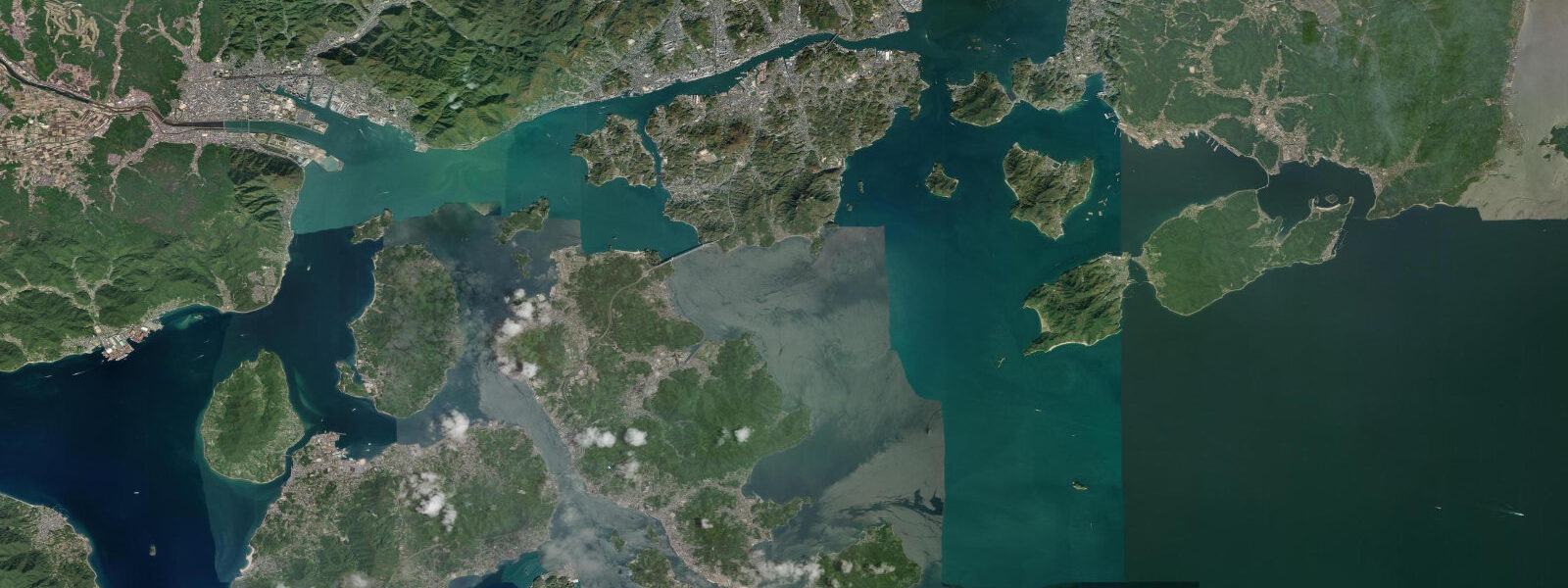
Tokushima is the capital of Tokushima Prefecture on the northeastern corner of Shikoku, built on the delta of the Yoshino River where it meets the Kii Channel — the passage between Shikoku and the Kii Peninsula of Honshu. The city straddles multiple river channels on a flat alluvial plain barely above sea level. The Kii Channel carries the combined tidal exchange of the entire Seto Inland Sea system and produces strong tidal currents, particularly in the Naruto Strait 15 km to the north.
The tidal regime at Tokushima is semidiurnal with a spring range of approximately 1.8 m above Chart Datum. Mean high water springs is around 1.3 m; mean low water springs around 0.5 m. Neap range narrows to 0.7–0.9 m. The Kii Channel carries 2.0–4.0 knots of tidal current at its centre on springs.
The Naruto Strait, 15 km northeast of Tokushima, connects the Kii Channel to the east with the Ōsaka Bay system to the west through a channel barely 1.3 km wide. The result is tidal currents of 15–20 km/h (8–11 knots) at peak spring flow, creating whirlpools (uzushio) up to 20 m in diameter. These are the most visited tidal phenomenon in Japan. The dedicated Naruto current tables published by the Japanese Hydrographic and Oceanographic Department give the exact peak times; they differ from the Tokushima tide table by 30–60 minutes.
For sea kayakers, the Kii Channel coast south of Tokushima city offers sheltered paddling between river mouths and offshore islands. The coastal current runs 0.5–1.5 knots parallel to the coast on the flood. The Yoshino River itself offers tidal estuary paddling upstream from the river mouth for 6–8 km before the tidal influence becomes negligible.
Fishing in the Tokushima area targets the productive Kii Channel waters for yellowtail (hamachi/buri), amberjack, and sea bream. The current rip at the northern entrance to the Kii Channel concentrates pelagic fish on the upstream side of the tidal current; charter boats fish this rip on the spring ebb. Shore fishing from the Yoshino River estuary targets flounder and sea bass on the flooding tide.
The Awa Odori dance festival in mid-August draws over one million visitors to Tokushima over four days — one of Japan's three great Obon festivals. The festival grounds run along the Yoshino River embankment, where the river at this time of year is at late-summer low-water flow, with the 1.8 m tidal range clearly visible as tidal staining on the embankment walls.
All tide predictions for Tokushima come from the Open-Meteo Marine gridded model. Timing accuracy is ±45 minutes; height accuracy is ±0.3 m above Chart Datum.
Tide questions about Tokushima
Quick answers to the most common questions about tide times, range, and water access at Tokushima.
What is the best time to see the Naruto whirlpools from Tokushima?
The Naruto whirlpools are most spectacular on spring tides — 2–3 days after full or new moon — when tidal current through the 1.3 km wide strait reaches 15–20 km/h (8–11 knots). The dedicated Naruto current tables give the exact peak current times; they differ from the Tokushima tide table by 30–60 minutes. Peak vortices last 30–40 minutes around each current maximum. The Ōnaruto Bridge walkway and tour boats from Uzushio Pier are the best viewing options. Arrive at the site 20 minutes before predicted peak for the best vortex formation.
What is the tidal range at Tokushima and how does it affect the Yoshino River?
Tokushima has a semidiurnal spring tidal range of approximately 1.8 m above Chart Datum. The Yoshino River estuary carries the tidal signal 6–8 km upstream; the saltwater wedge moves 500–800 m per tidal cycle at spring range. A small tidal bore travels upriver on strong spring floods and is visible from the riverside embankments near the city centre. Boats moored in the tidal reach need scope set for the full 1.8 m spring range. Tide predictions carry ±45 minutes timing uncertainty and ±0.3 m height uncertainty.
Is the Kii Channel coast safe for sea kayakers?
The coastal margin south of Tokushima is suitable for experienced sea kayakers in good weather. The coastal current runs 0.5–1.5 knots on springs — usable as a ferry if timed correctly. Avoid the open channel centre where current accelerates toward the Naruto Strait narrows; the Naruto Strait itself is off-limits to any small vessel during active flow. The Yoshino River estuary offers sheltered tidal paddling for 6–8 km upstream. Tide predictions carry ±45 minutes uncertainty — build this buffer into any passage plan involving tidal current.
When and where do anglers fish for yellowtail near Tokushima?
Yellowtail (hamachi in summer, buri in winter) are the primary target in the Kii Channel off Tokushima. Charter boats fish the current rip at the northern channel entrance on the spring ebb, when Seto Inland Sea water floods south and the current edge concentrates baitfish. Peak season is October through January for large buri; hamachi-size fish are present from June. Shore fishing from the outer headlands south of the Yoshino River mouth takes yellowtail on lures during the autumn run. The Naruto area headlands are the most productive shore positions.
Does tidal state affect the Awa Odori festival viewing areas?
The Awa Odori festival in mid-August is a land-based event unaffected by tidal state. The riverside embankment viewing areas show the 1.8 m tidal range clearly — concrete faces display high and low water staining, and the river surface level during evening performances varies visibly by tidal state. Performances run 18:00 to 22:30; a high-water evening provides a more dramatic backdrop for reflected lantern light on the water surface.
8-day tide table — Tokushima
Heights relative to MSL. Predictions: Open-Meteo Marine (MeteoFrance SMOC, 0.08° grid) — heights relative to MSL (not chart datum / LAT). Model-derived.
| Day | Type | Time | Height |
|---|---|---|---|
| Sat 27 Jun | Low | 09:00 | -0.4m |
| Sun 28 Jun | High | 02:34 | 1.1m |
| Low | 10:00 | -0.5m | |
| High | 16:16 | 0.8m | |
| Low | 21:37 | 0.2m | |
| Mon 29 Jun | High | 03:15 | 1.1m |
| Low | 10:34 | -0.7m | |
| High | 16:47 | 0.8m | |
| Low | 22:07 | 0.1m | |
| Tue 30 Jun | High | 03:55 | 1.2m |
| Low | 11:08 | -0.7m | |
| High | 17:18 | 0.8m | |
| Low | 22:38 | 0.1m | |
| Wed 01 Jul | High | 04:32 | 1.2m |
| Low | 11:38 | -0.7m | |
| High | 17:51 | 0.9m | |
| Low | 23:06 | 0.1m | |
| Thu 02 Jul | High | 05:09 | 1.3m |
| Low | 12:10 | -0.6m | |
| High | 18:21 | 0.9m | |
| Low | 23:42 | 0.1m | |
| Fri 03 Jul | High | 05:50 | 1.3m |
| Low | 12:35 | -0.6m | |
| High | 18:58 | 1.0m | |
| Sat 04 Jul | Low | 00:16 | 0.1m |
| High | 06:27 | 1.2m | |
| Low | 08:00 | 1.0m |