Venice (Punta della Salute) tide times
Venice (Punta della Salute) tide forecast — heights relative to MSL.
Today's tide times for Venice (Punta della Salute)
Tide times at Venice (Punta della Salute) on Sunday, 26 July 2026: first low tide at 02:47, first high tide at 10:10, second low tide at 15:06, second high tide at 20:18. Sunrise 05:46, sunset 20:46.
Tide chart for Venice (Punta della Salute)
24-hour cosine-interpolated curve around the present moment. Heights relative to MSL. Predictions: Predictions: Open-Meteo Marine (MeteoFrance SMOC, 0.08° grid).
Sun, moon and conditions on Sun 26 Jul
Snapshot at build time — refreshes daily. Sea state from Open-Meteo Marine.
Highs and lows next 7 days
Every predicted high and low for the next week, with the daily tidal coefficient (0–120; higher = bigger swing, > 95 means stronger currents).
Other spots nearby
The three closest curated TideTurtle locations to Venice (Punta della Salute), measured by great-circle distance.

Today's solunar windows
Solunar tradition: major periods are the ≈3h windows around moon transit and opposition; minor are ≈2h around moonrise and moonset. Pair with the local tide stage and wind for the best read.
Cycle dates near Venice (Punta della Salute)
Next spring tide on Sat 01 Aug (range 0.9m). Last neap on Sun 26 Jul.
Spring tides cluster around new and full moons (biggest swings). Neap tides land on quarter moons (smallest swings). See the spring tide and neap tide glossary entries for the why.
About tides at Venice (Punta della Salute)
A short guide to the coastline at Venice (Punta della Salute) — geography, sea state, and what the tide is actually doing under your feet.
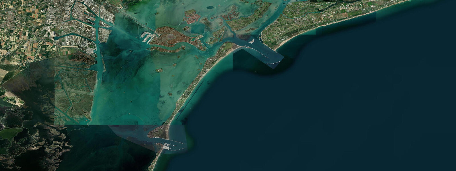
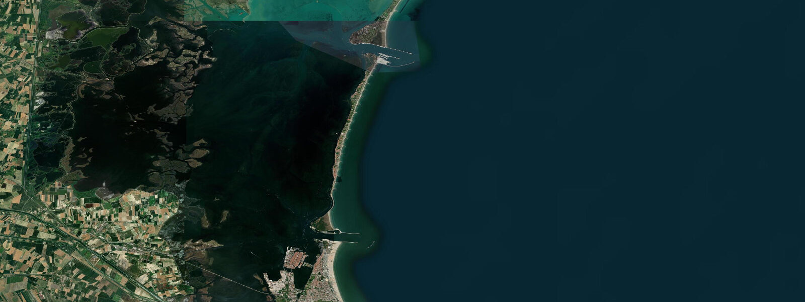
Venice sits in a 550 km² lagoon at the head of the Adriatic, separated from the open sea by a chain of three barrier islands — the Lido, Pellestrina, and the Cavallino-Treporti littoral. The tide here is the largest in the Mediterranean by some distance and the defining feature of the city's life. 9 metres on the largest spring tides.
The pattern is semidiurnal, two highs and two lows about twelve and a half hours apart. The lagoon connects to the open Adriatic through three inlets — the bocche of the Lido, Malamocco, and Chioggia — and the MOSE flood barriers across each can be raised when surge events threaten central Venice. The phenomenon of acqua alta is the city's signature tidal event: when a spring tide coincides with low atmospheric pressure and a sustained sirocco wind from the south, water levels stack significantly above the predicted high.
The November 2019 acqua alta peak ran about 187 cm above the local datum — the second-highest on record after the 194 cm event of November 1966 that flooded over 80% of the historic centre. The November 12, 2019 event flooded San Marco, damaged churches, mosaics, and ground-floor businesses across the city. Walkways flood, raised passerelle go up, and the bell of St Mark's campanile rings warning.
Open-Meteo Marine drives the gridded predictions on this site; ISPRA's Centro Maree publishes the authoritative real-time forecast and historical record for Venice acqua alta.
Tide questions about Venice (Punta della Salute)
Quick answers to the most common questions about tide times, range, and water access at Venice (Punta della Salute).
When is the next high tide at Venice?
The hero block shows the next high tide at Punta della Salute in local Rome time. The 7-day table covers all four daily extremes. Note that high water at the inland lagoon edges (Mestre, Marghera, Burano) lags Punta della Salute by up to 30 minutes depending on the bocca through which the tide enters.
What is acqua alta?
Acqua alta is the Venetian term for exceptional high water — when astronomical tide, low atmospheric pressure, and sustained sirocco wind from the south combine to push water levels significantly above the predicted high. Routine acqua alta events flood the lower courtyards a few times each year. Major events flood San Marco and the historic centre. The November 1966 event reached 194 cm and the November 2019 event reached 187 cm — the two highest on record. ISPRA's Centro Maree publishes acqua alta forecasts up to several days in advance.
What's the typical tide range at Venice?
Mean range at Punta della Salute is about 0.6 metres — the largest astronomical tide in the Mediterranean. Spring tides push close to 0.9 metres around new and full moons; neaps drop near 0.4. By contrast, most of the rest of the Mediterranean runs ranges of 0.2 to 0.3 metres. The Adriatic's elongated shape and the head-of-basin geometry concentrate the small Mediterranean signal at the lagoon.
Where do these tide predictions come from?
Open-Meteo Marine, a global ocean-grid model. Useful for general lagoon planning, but the authoritative source for Venice tide and acqua alta forecasting is ISPRA's Centro Maree at the Veneto regional office, which runs the historic Punta della Salute gauge and publishes both routine predictions and acqua alta event forecasts. The Comune di Venezia publishes the same data through the public-facing acqua alta portal.
Is this safe to use for navigation?
No. For piloting in the Venice lagoon, transiting the bocche, or working the canals use ISPRA's authoritative tide tables and the Magistrato alle Acque chart products. The MOSE flood-barrier system at the three bocche actively reshapes lagoon hydraulics during raising events; that information comes from the Provveditorato Interregionale alle Opere Pubbliche real-time data feed, not from a gridded prediction.
7-day tide table — Venice (Punta della Salute)
Heights relative to MSL. Predictions: Open-Meteo Marine (MeteoFrance SMOC, 0.08° grid) — heights relative to MSL (not chart datum / LAT). Model-derived.
| Day | Type | Time | Height |
|---|---|---|---|
| Sun 26 Jul | Low | 02:47 | -0.8m |
| High | 10:10 | -0.1m | |
| Low | 15:06 | -0.3m | |
| High | 20:18 | -0.0m | |
| Mon 27 Jul | Low | 03:35 | -0.9m |
| High | 20:45 | -0.1m | |
| Tue 28 Jul | Low | 04:03 | -1.0m |
| High | 10:52 | -0.2m | |
| Low | 15:55 | -0.6m | |
| High | 21:12 | -0.2m | |
| Wed 29 Jul | Low | 04:23 | -1.1m |
| High | 11:10 | -0.2m | |
| Thu 30 Jul | Low | 04:43 | -1.1m |
| High | 11:37 | -0.2m | |
| Fri 31 Jul | Low | 05:08 | -1.1m |
| High | 12:00 | -0.1m | |
| Low | 17:37 | -0.6m | |
| High | 23:00 | -0.2m | |
| Sat 01 Aug | Low | 05:36 | -1.0m |
| High | 12:19 | -0.1m | |
| Low | 18:12 | -0.7m |